The instrument's own words
Attribution under review. The portal's file number is shared by more than one instrument, and the words below could not be placed with certainty on this one by their own evidence (page stamp, parties, dates); they may belong to a neighbouring instrument. Read them as the record of the page, not yet as this deed's own.
page 1
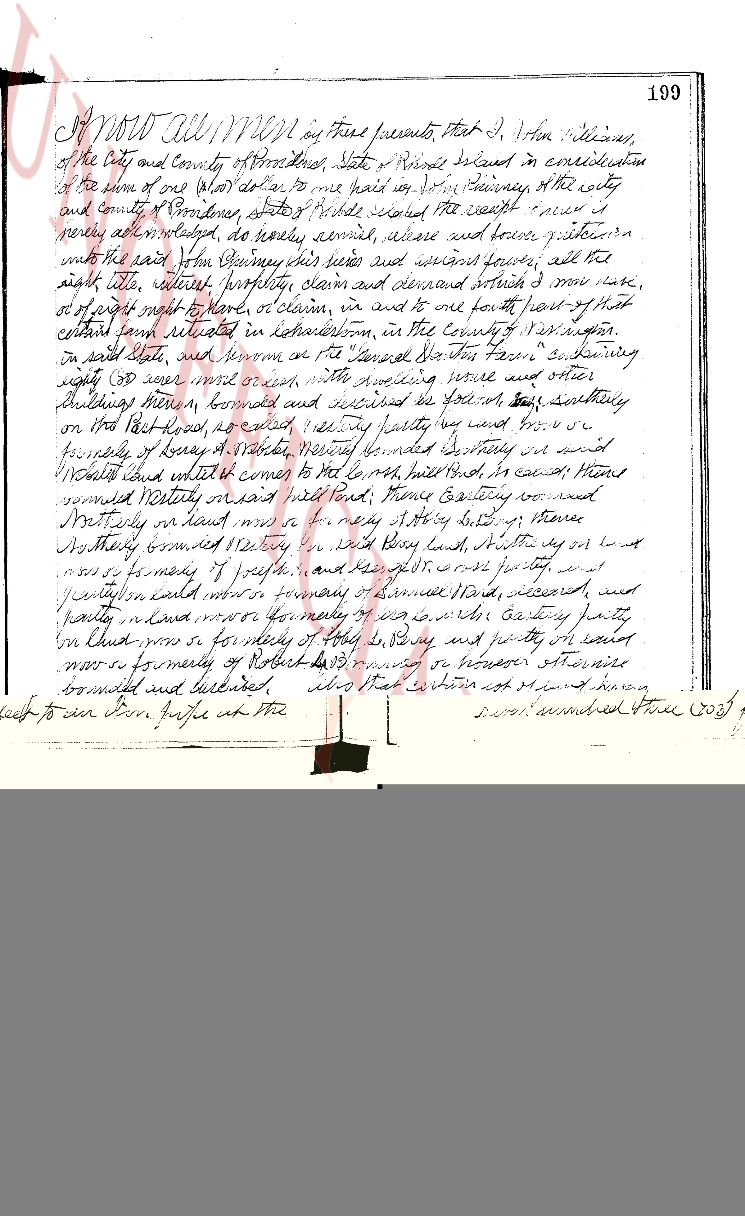
Know All Men by these presents, that I, John Williams,
of the City and County of Providence, State of Rhode Island in consideration
of the sum of one (1) dollar, to me paid by John Phinney of the city
and County of Providence, State of Rhode Island whose receipt I now
hereby acknowledge, do hereby sell, convey, release and forever quitclaim
unto the said John Phinney his heirs and assigns forever, all the
right title, interest property lien and demand which I have,
or of any right more of right, or claim, in and to one fourth part of that
certain farm situated in Colleton, in the County of Washington,
in said State, and known as the Daniel Dexter's Farm containing
eighty (80) acres more or less, with dwelling house and other
buildings thereon, bounded and described as follows, first southerly
on the East Road, as called, I say partly by my land and partly by
property of Henry & Stablet, nearby bounded Southerly and
Northland called and known as the North Road, bound Eastward, thence
bounded Northerly and east half road, thence Eastward on wood
Southerly on land known as the property of Abby G. Slocum, thence
Northerly bounded Easterly on land of Beny Land, southerly on land
known as formerly of Wright, and the said one fourth part of the
property on land called more or less formerly of Samuel Dale, deceased, and
partly on land more or less formerly of I. S. [?] party
on land more or less formerly of Abby G. Slocum and partly on land
known as formerly of Robert B. Browning or house otherwise
bounded and described, also that certain lot known as the
"Ten line lot" and is bounded as follows, wi[th] southerly
on land more or less formerly of Robert B. Browning, Eastward
in said Providence county southerly on the "Paddy Field" as
called, and Westerly on the highway, or roads otherwise
it same way bounded and described. I do here unto
and in token of personal property, on and premises
do Give and grant to the same, with all the rights,
privileges and appurtenances thereunto appertaining, unto
and to the use of the said John Phinney his heirs and assign
forever, and I the aforesaid John Williams for
myself and for my heirs executed and maintained
do covenant with the said John Phinney his heirs and
assigns that I will warrant and defend the aforementioned
premises unto the said John Phinney his heirs and
forever against the lawful claims and demand of all
persons coming through or under me, and the
hand John Williams in consideration of the sum paid
as aforesaid covenant that I am untrammeled.
In Testimony whereof I have hereunto set my
page 2
200
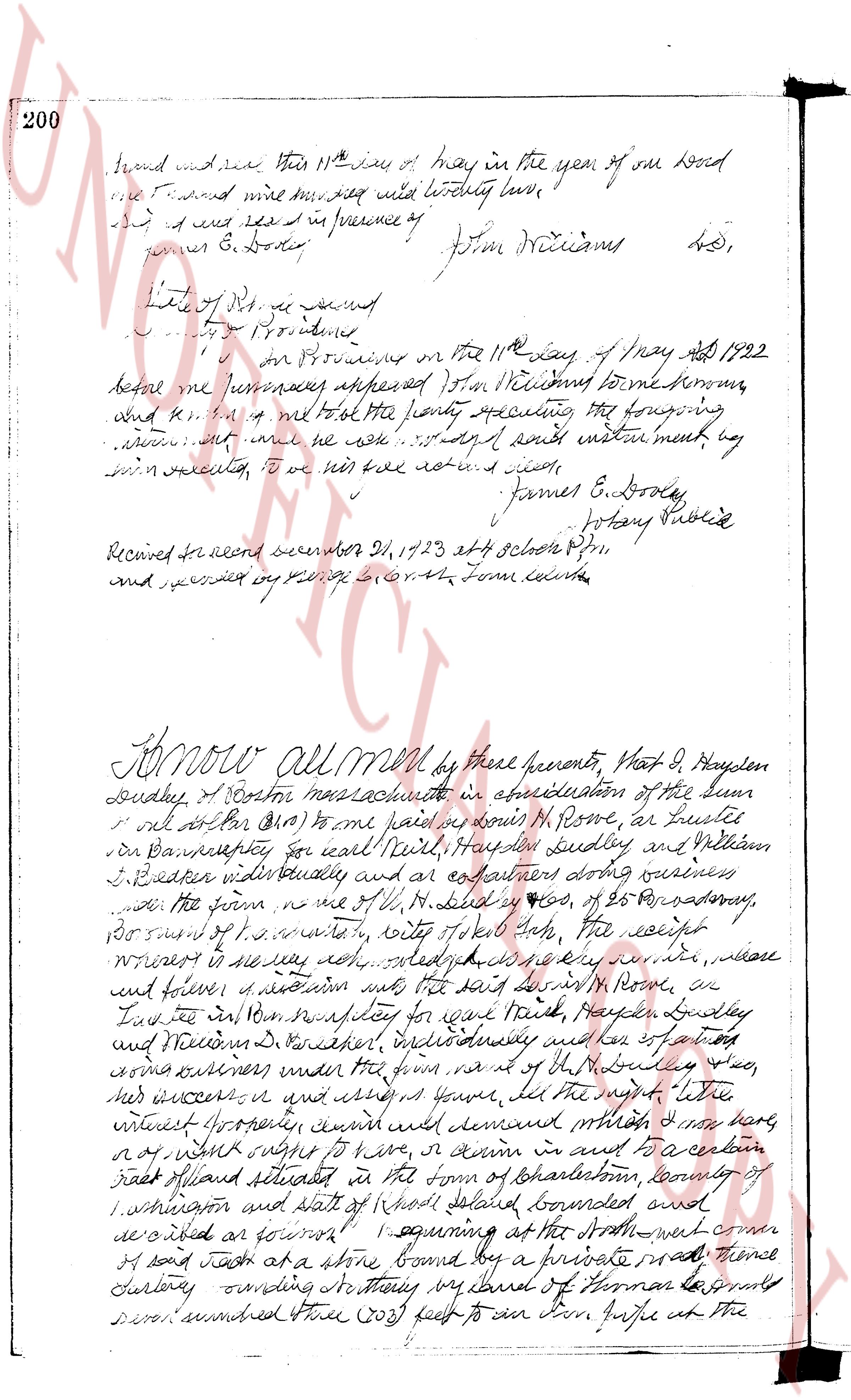
bound made this 11th day of May in the year of our Lord
one thousand nine hundred and twenty two love
and I have read and in presence of
James E. Dooley [signature] John Williams [signature] L.S.
State of R.I. ss
County of Providence
on Providence on the 11th day of May AD 1922
before me personally appeared John Williams known
and to be the person who felt the present sealing the following
instrument but he now refuses to acknowledge the same instrument by
his own executed to be his act and seal
James E. Dooley [signature]
Notary Public
Received for record December 21, 1923 at 4 clock P.M.
and recorded by George L. Smith Town clerk
Know all men by these presents That D. G. Hayden
dudley of Boston massachussetts in consideration of the sum
of one dollar ($1.00) to me paid by onus M. Rowe, as Trustee
in Bankruptcy for earl Neil, Hayden Dudley and William
J. Becker individually and as partners doing business
under the firm of L.G. Hayden & Co. of 25 Broadway,
Boston Mass. S.P. state wity city of New York that the receipt
whereof is hereby acknowledged and by these presents do remise, release,
and forever quit claim unto the said M. Rowe, as
Trustee in Bankruptcy for earl Neil, Hayden Dudley and
William J. Becker individually and as partners
doing business under the firm of L.G. Hayden & Co.
his successors and assigns forever all the right title
and interest whatever could demand whereas I have
or of right ought to have or claim in and to a certain
tract of land situated in the town of Charlestown county of
Rhode Island situated in the town of Charlestown county of
Washington state of Rhode Island bounded and
described as follows 1 beginning at the South west corner
of said tract at a stone bound by a private road thence
North east 30 degrees sounding North east by land of Herman Longing
several hundred Three (303) feet to an Iron pipe at the
page 3
599
pipe five (5.0) feet, more or less, from the shore line of said Sew Mill Pond; thence southeasterly,
turning an interior angle of 180 degrees, a distance of Three hundred sixty and sixty-four one-hundredths
(360.64) feet to an iron pipe; thence northeasterly, turning an interior angle of 105 degrees 20 minutes,
a distance of Four hundred ninety-one and seventy-one hundredths (491.71) feet to drill a hole in a stone
wall; thence southeasterly, turning an interior angle of 99 degrees 31 minutes, a distance of One hundred
and thirty-four and sixty-four hundredths (134.64) feet to drill a hole in a stone wall; thence south-
westerly, turning an interior angle of 180 degrees 25 minutes, a distance of Five hundred twelve bounds
one-hundredths (512.01) feet turning an interior angle of 103 degrees 22 minutes, thence southeasterly,
northeasterly to said field stone, turning an interior angle of 126 degrees 28 minutes a distance of One
hundred fifty-three and thirty-one hundredths (153.31) feet to the right angle of the wall; thence north-
easterly to said field stone, turning an interior angle of 79 degrees 36 minutes with the first hereinabove
mentioned course. Said parcel of land contains 79 acres, more or less area.
The grantor does hereby intend to convey all of the real property which she, at the time of the execution
of this deed, owns in the Town of Westerly, Rhode Island.
I, Ada B. Mitchell, grantor herein, hereby covenant that I am a widow, un-remarried.
WITNESSED my hand this 23rd day of November, A. D. 1962.
In Presence of:
Louis Panciera
ADA B. MITCHELL
($1.30) DOCUMENT STAMP. {8.30}
STATE OF RHODE ISLAND }
}
COUNTY OF WASHINGTON }
In Westerly, on the 23rd day of November, A. D. 1962, before me personally appeared ADA B. MITCHELL, to me known
and known by me to be the person who executed the foregoing instrument, and she acknowledged said instrument, by her
executed, to be her free act and deed.
LOUIS PANCIERA
Notary Public
Received for record December 4th, A. D. 1962 at 9:25 o'clock, a. m., and recorded by
[Signature]
Town Clerk
STATUTORY FORM OF WARRANTY DEED
We, FREDERICK R. RICHMOND, JR. and FRANCES W. RICHMOND, both of the City of Warwick, County of Kent and
State of Rhode Island, for consideration paid grant to WILLIAM B. THORNTON, of the Town of Westerly, County of
Washington and State of Rhode Island with WARRANTY COVENANTS
A certain tract or parcel of land or terreno with summer cottage thereon, located in the Town of Charlestown,
County of Washington and State of Rhode Island, described in Lot 156 and the southerly one-half of
Lot 157 on that area or parcel of land known as "Quacumog Huntinglands, property of Charleston
Estates, Inc., Charlestown, R. I., Scale 1 inch equals 50 feet, August, 1940, Ross & Lewis, Engrs." and
bounded and described as follows:
Beginning at a point in or on the easterly side of Sunset Avenue, so called, paid point being the north-
westerly corner of the surfel of the parcel herein conveyed and the southerly corner of land of William J. Dob-
son and wife; thence southeasterly along the southerly line of said parcel a distance of 110 feet to a stone
boundary of a corner of a curved off curve with a radius of 35 feet; thence southerly, southeasterly
and easterly around said curve a distance of 24.98 feet to the intersection with the southerly line of
Bay Street; thence southeasterly along the southerly side of Bay Street a distance of 105 feet
to the southerly corner of the southerly parcel herein conveyed thence turning a right angle and running
easterly extending a distance of 110 feet to the northerly corner of the parcel herein conveyed,
said point also marking the southerly corner of land of said William J. Dobson and wife thereafter
turning a right angle and running northerly a distance of 110 feet to the point of beginning, and so
bounded westerly by Sunset Avenue, southeasterly by Bay Street, easterly by land of Charles Hatton et ux
and northerly by land of William J. Dobson.
In consideration of the premises, the grantors, their heirs, executors, administrators, assigns and licensees,
guarantee and grant to the grantees a right way of ingress to and egress from and across at all times and for
all purposes, in common with others, to and from the public highway known as the public highway intersecting
from Sunset Avenue to Quacumog Pond and home, in common with others, over and across that certain lot
intersecting from Sunset Avenue to Quacumog Pond and home, the grantors, their heirs, executors,
administrators, assigns, licensees, grantees and grantees are a right way to cross and recross to and from the "beach" in common with others
to and from the public highway known as the public highway intersecting from Sunset Avenue to Quacumog
estated, "Plot of East Beach at Quacumog, R. I., property of S. " Davis, Inc., Leon L. Holland,
R. I., scale 1 inch equals 100 feet, reference plan is in the Registry of Deeds and Evidence
Records of said Town of Charlestown. In consideration of the rights and privileges to and cross
The page as recorded