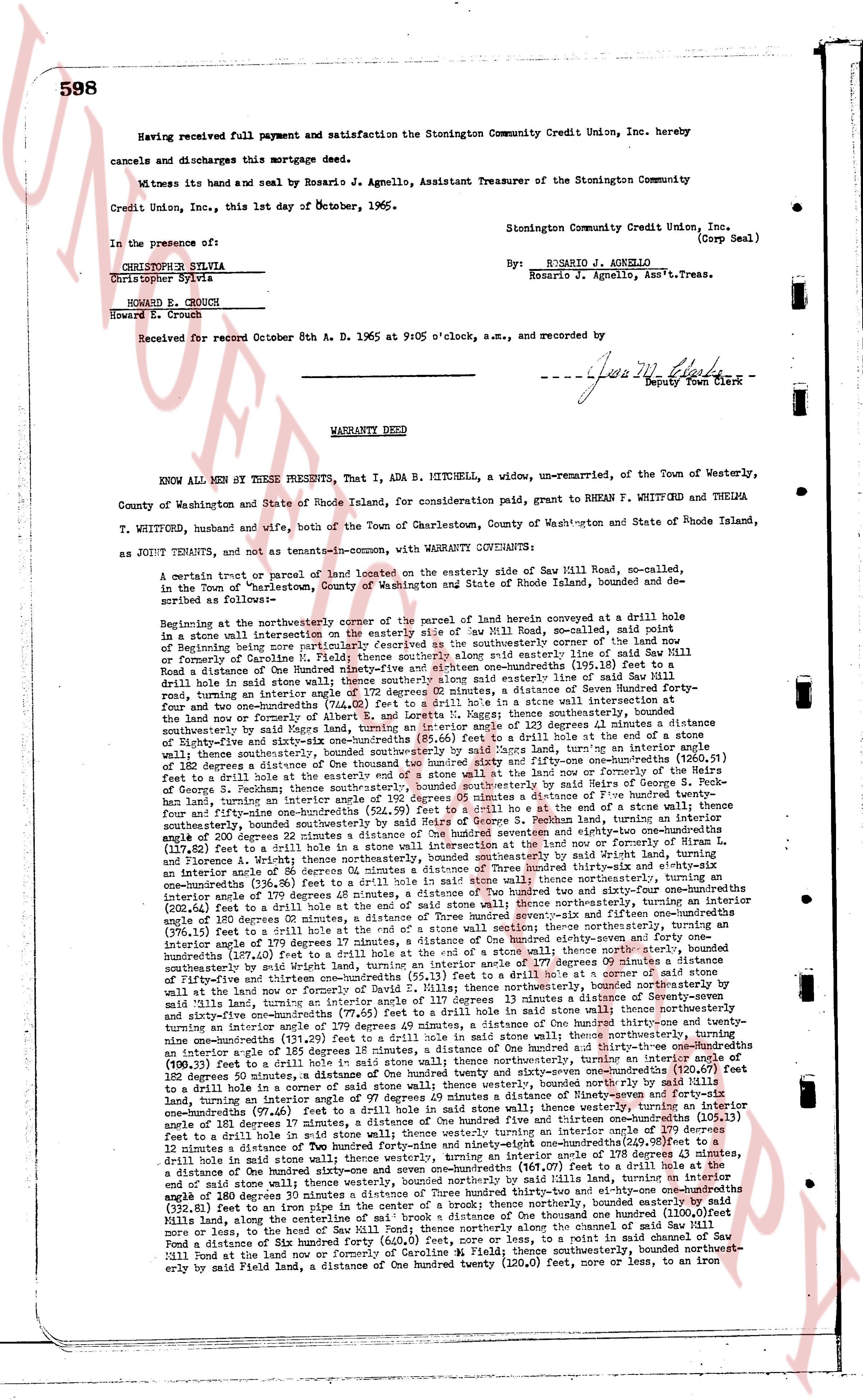
The instrument's own words
page 1 · read by Gemma vision
598
Having received full payment and satisfaction the Stonington Community Credit Union Inc, hereby
cancels and discharges this mortgage deed.
Witness its hand and seal by Rosario J. Agnello, Assistant Treasurer of the Stonington Community
Credit Union, Inc., this 1st day of October, 1965.
In the presence of:
Christopher Sylvia
Howard E. Crouch
Stonington Community Credit Union, Inc.
(Corp Seal)
By: R. ROSARIO J. AGNELLO
Rosario J. Agnello, Asst.'n Treas.
Received for record October 8th A. D. 1965 at 9:05 o'clock, a.m., and recorded by
[Signature]
Deputy Town Clerk
----
WARRANTY DEED
KNOW ALL MEN BY THESE PRESENTS, That I, ADA B. MITCHELL, a widow, un-remarried, of the Town of Westerly,
County of Washington and State of Rhode Island, for consideration paid, grant to RHEN F. WHITFORD and THELMA
T. WHITFORD, husband and wife, both of the Town of Charlestown, County of Washington and State of Rhode Island,
as JOINT TENANTS, and not as tenants-in-common, with WARRANTY COVENANTS:
A certain tract or parcel of land located on the easterly side of Saw Mill Road, so-called, in
the Town of "Charlestown," County of Washington and State of Rhode Island, bounded and de-
scribed as follows:
Beginning at the northeasterly corner of the parcel of land herein conveyed at a drill hole in
a stone wall intersection on the easterly side of Saw Mill Road, so-called, said point of
Beginning being the same point as the northeasterly corner of the parcel of land conveyed to
formerly of Caroline H. Field; thence southeasterly along said easterly line of said Saw Mill
Road a distance of the Hundred ninety-four feet six and one-hundredths (194.06) feet bear to a
drill hole in a stone wall thence southerly along said easterly line of said Saw Mill Road
turning an interior angle of 172 degrees 58 minutes, a distance of One hundred ninety-four feet
four and two-hundredths (194.02) feet to a drill hole in a stone wall intersection at said
land now or formerly of Alberta F. and Loretta M. Raggy; thence southeasterly a distance of 123 degrees 11 minutes a distance
southeasterly along said easterly line of said Saw Mill Road, turning an interior angle of 182 degrees
of Ninety-five and sixty-one one-hundredths (95.61) feet to a drill hole in a stone wall; thence
turning an interior angle of 182 degrees 09 minutes, a distance of One hundred twenty-four, turning an interior angle
of 182 degrees a distance of One hundred twenty four hundred ninety-one and six-hundredths (124.91) feet to a drill
hole in a stone wall; thence southeasterly along said easterly line of said land now or formerly of
George S. Pechan; thence southeasterly, bounded southeasterly by said margins of Dora S. Pechan
forty-nine and one-hundredths (49.01) feet to a drill hole in a stone wall; thence turning an interior angle of 180
fourty-nine and one-hundredths (524.99) feet to a drill hole at the end of a stone wall thence
southeasterly, bounded southeasterly by said land now or formerly of Pechan land, turning an interior
angle of 200 degrees 22 minutes a distance of One hundred seventy eight and sixty-two one-hundredths (178.62) feet to a drill
hole in a stone wall; thence turning an interior angle of 182 degrees 11 minutes, a distance of One hundred twenty-four
and fifteen-hundredths (124.15) feet to a drill hole in a stone wall; thence northeasterly, bounded southeasterly by said Wright land,
turning an interior angle of 86 Degrees 09 minutes a distance of One hundred twenty-three and ninety-one one-hundredths (123.91) feet
and fifteen-hundredths (123.15) feet to a drill hole in said stone wall; thence northeasterly, turning an
interior angle of 179 degrees 48 minutes, a distance of One hundred twenty four and two-hundredths (124.02) feet to a drill
hole in a stone wall; thence northeasterly, turning an interior angle of 179 degrees 55 minutes, turning an
interior angle of 180 degrees 05 minutes, a distance of Three hundred twenty-seven and six-hundredths (327.06) feet to a drill
hole in a stone wall; thence northeasterly, turning an interior angle of 179 degrees 17 minutes, a distance of One hundred eighty-seven and forty one-hundredths (187.41) feet to a drill hole in a stone wall; thence northeasterly, turning an
interior angle of 179 degrees 17 minutes, a distance of One hundred eighty-seven and forty one-hundredths (187.41) feet to a drill
hole in a stone wall; thence northeasterly, bounded southeasterly by said Wright land, turning an interior angle of 177 degrees 09 minutes a distance
of One hundred thirty-three and ninety-one one-hundredths (133.91) feet to a drill hole in a stone wall; thence northeasterly, bounded
southeasterly by said Wright land, turning an interior angle of 177 degrees 09 minutes a distance of One hundred thirty-three and ninety-one
one-hundredths (133.91) feet to a drill hole in a stone wall; thence northeasterly, bounded northeasterly by
said mills land, turning an interior angle of 180 degrees 05 minutes, a distance of Three hundred twenty-seven and six-hundredths (327.06) feet to a drill
hole in a stone wall; thence northeasterly, turning an interior angle of 179 degrees 55 minutes, turning an
interior angle of 179 degrees 48 minutes, a distance of One hundred twenty four and two-hundredths (124.02) feet to a drill
hole in a stone wall; thence northeasterly, turning an interior angle of 182 degrees 11 minutes, a distance of One hundred twenty-four
and fifteen-hundredths (124.15) feet to a drill hole in a stone wall; thence northeasterly, turning an interior angle of
182 degrees 50 minutes, a distance of One hundred twenty four hundred ninety-one and six-hundredths (124.91) feet to a drill
hole in a stone wall; thence northeasterly, turning an interior angle of 182 degrees 09 minutes, a distance of One hundred seventy-four and
six-hundredths (174.06) feet to a drill hole in a stone wall; thence northeasterly, turning an
interior angle of 181 degrees 17 minutes, a distance of One hundred five hundred thirteen and one-hundredths (105.13) feet to a drill
hole in a stone wall; thence northeasterly, turning an interior angle of 181 degrees 17 minutes, a distance of One hundred five hundred thirteen and one-hundredths (105.13) feet to a drill
hole in a stone wall; thence northeasterly, turning an
interior angle of 181 degrees 12 minutes a distance of One hundred forty-nine and ninety-six one-hundredths (149.96) feet to a
drill hole in a stone wall; thence northeasterly, turning an interior angle of 181 degrees 12 minutes, a distance of One hundred forty-nine and ninety-six one-hundredths (149.96) feet to a
drill hole in a stone wall; thence northeasterly, turning an interior angle of 181 degrees 12 minutes, a distance of One hundred forty-nine and ninety-six one-hundredths (149.96) feet to a drill hole at the
end of said stone wall; thence westerly, bounded northwesterly by said Wright land, turning an interior
angle of 180 degrees 22 minutes, a distance of One hundred twenty-three and eighty-one one-hundredths (123.81) feet to a drill
hole in a stone wall; thence westerly, bounded northwesterly by said Wright land, turning an interior
angle of 180 degrees 22 minutes, a distance of One hundred twenty-three and eighty-one one-hundredths (123.81) feet to an iron
pipe in the center of a brook; thence northeasterly, bounded northwesterly by said land now or formerly of
One hundred (1100.00) feet
more or less, to the bend of Saw Mill Road; thence northeasterly along the channel of said Saw Mill Road
a distance of One hundred twenty-three and eighty-one one-hundredths (123.81) feet to a drill hole in a stone
wall on the Mill pond at the land now or formerly of Caroline H. Field; thence southeasterly, bounded northwest-
erly by said Field land, a distance of One hundred twenty (120.00) feet, more or less, to an iron in
The page as recorded