The instrument's own words
page 1 · read by Gemma vision
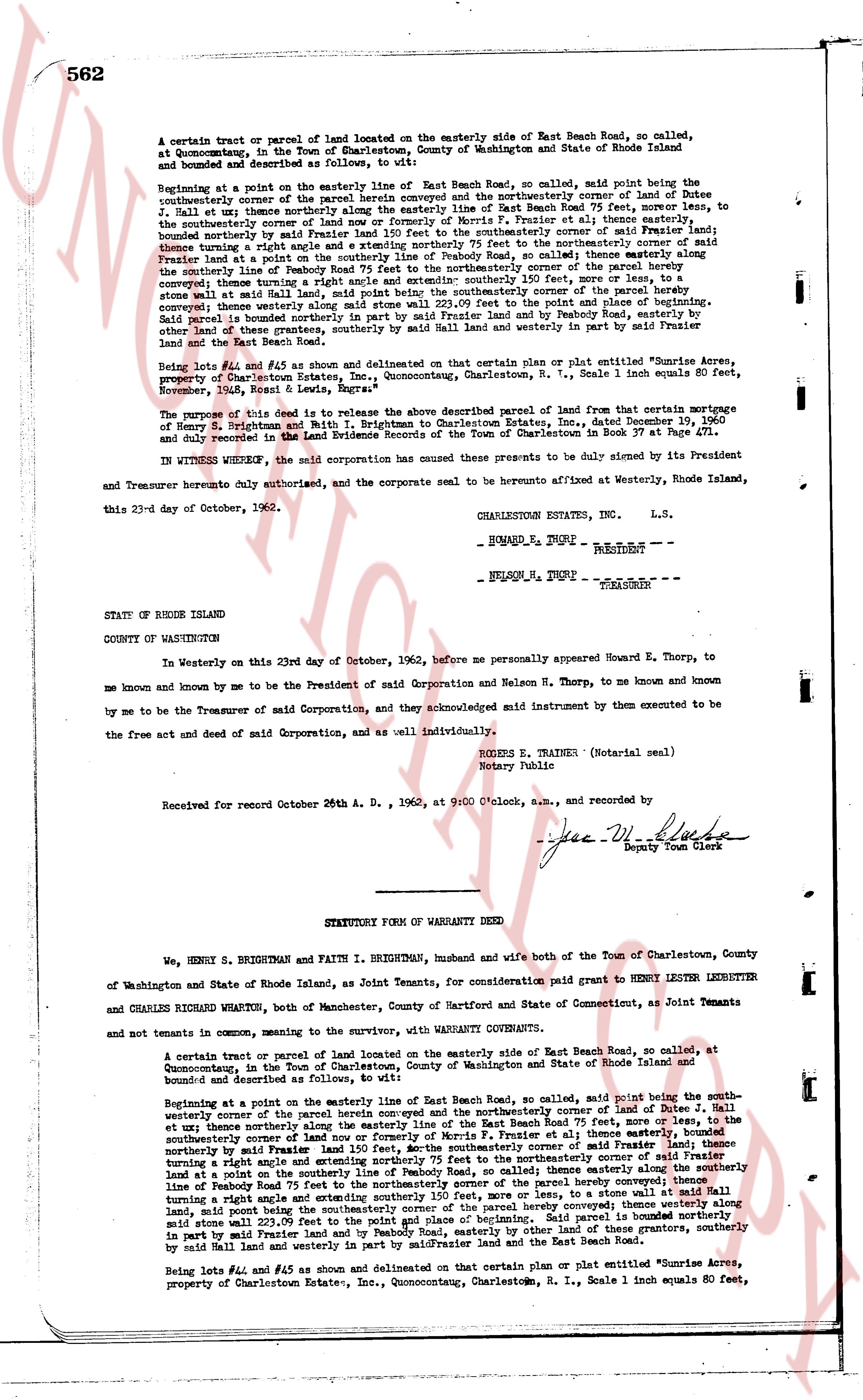
562
A certain tract or parcel of land located on the easterly side of East Beach Road, so called, at Quonocutong, in the Town of Charlestown, County of Washington and State of Rhode Island island and bounded and described as follows, to wit:
Beginning at a point on the easterly line of East Beach Road, so called, said point being the southeasterly corner of the parcel herein conveyed and the northeasterly corner of land of Dutee J. Hall et ux; thence northerly along the easterly line of East Beach Road 25 feet, more or less, to the northeasterly corner of property now or formerly of Norby et al; thence easterly at that same easterly boundary northerly by said Frazer Land 150 feet to the southeasterly corner of said Frazer land; thence turning a right angle and extending northerly 75 feet to the northeasterly corner of said Frazer land a plot on the southeasterly line of Peabody Road, so called thence easterly along the southeasterly line of Peabody Road 75 feet to the northeasterly corner of the parcel hereby conveyed; thence turning a right angle and extending southerly 150 feet, more or less, to a stone wall at said Hall land, said point being the southeasterly corner of the parcel hereby conveyed; thence westerly along said stone wall 150 feet to the point of start and place of beginning. Said land is bounded northerly in part by said Frazer Land and by Peabody Road, easterly by other land of these grantors, southerly by said Hall Land and westerly in part by said Frazer Land and the East Beach Road.
Being Lots #24 and #45 as shown on delineated on that certain plan or plat entitled "Sunrise Acres, property of Sunrise Estates, Inc., Quonocutong, Charlestown, R.I., Scale 1" 1 inch equals 80 feet, November, 1952, R. Lewis, Engineer"
The purpose of this deed is to release that those described parcel of land from that certain mortgage of Henry S. Brightman and Faith I. Brightman to Charlestown Estates, Inc., Dated November 29, 1960 and duly recorded in the Land Evidence Records of the Town of Charlestown in Book 37 on Page 471.
IN WITNESS WHEREOF, the said corporation has caused these presents to be duly signed by its President and Treasurer hereby duly authorized, and the corporate seal to be thereto affixed at Westerly, Rhode Island, this 23d day of October, 1962.
CHARLESTOWN ESTATES, INC. L.S.
HOWARD E. THORP PRESIDENT
NELSON M. THORP TREASURER
STATE OF RHODE ISLAND
COUNTY OF WASHINGTON
In Westerly on this 23rd day of October, 1962, before me personally appeared Howard E. Thorp, to me known and known by me to be the President of said Corporation and Nelson M. Thorp, to me known and known by me to be the Treasurer of said Corporation, and they acknowledged said instrument by them executed to be the free act and deed of said Corporation, as well as individually.
ROGER E. TRAINER (Notarial seal)
Notary Public
Received for record October 26th A. D., 1962, at 9:00 O'clock, a.m., and recorded by
[Signature]
Deputy Town Clerk
----
STATUTORY FORM OF WARRANTY DEED
We, HENRY S. BRIGHTMAN and FAITH I. BRIGHTMAN, husband and wife both of the Town of Charlestown, County of Washington and State of Rhode Island, as Joint Tenants, for consideration paid grant to HENRY LESTER LEDBETTER and CHARLES RICHARD WHARTON, both of Manchester, County of Hartford and State of Connecticut, as Joint Tenants and not tenants in common, to convey, with the warranty, with WARRANTY COVENANTS.
A certain tract or parcel of land located on the easterly side of East Beach Road, so called, at Quonocutong, in the Town of Charlestown, County of Washington and State of Rhode Island island and bounded and described as follows, to wit:
Beginning at a point on the easterly line of East Beach Road, so called, said point being the southeasterly corner of the parcel herein conveyed and the northeasterly corner of land of Dutee J. Hall et ux; thence northerly along the easterly line of East Beach Road 25 feet, more or less, to the southeasterly corner of land now or formerly of Norby et al; thence easterly at that same easterly boundary northerly by said Frazer Land 150 feet to the southeasterly corner of said Frazer land; thence turning a right angle and extending northerly 75 feet to the northeasterly corner of said Frazer land a plot on the southeasterly line of Peabody Road, so called thence easterly along the southeasterly line of Peabody Road 75 feet to the northeasterly corner of the parcel hereby conveyed; thence turning a right angle and extending southerly 150 feet, more or less, to a stone wall at said Hall land, said point being the southeasterly corner of the parcel hereby conveyed; thence westerly along said stone wall 150 feet to the point of start and place of beginning. Said land is bounded northerly in part by said Frazer Land and by Peabody Road, easterly by other land of these grantors, southerly by said Hall Land and westerly in part by said Frazer Land and the East Beach Road.
Being Lots #24 and #45 as shown on delineated on that certain plan or plat entitled "Sunrise Acres, property of Charlestown Estates, Inc., Quonocutong, Charlestown, R.I., Scale 1" 1 inch equals 80 feet,
page 2 · read by Gemma vision
562
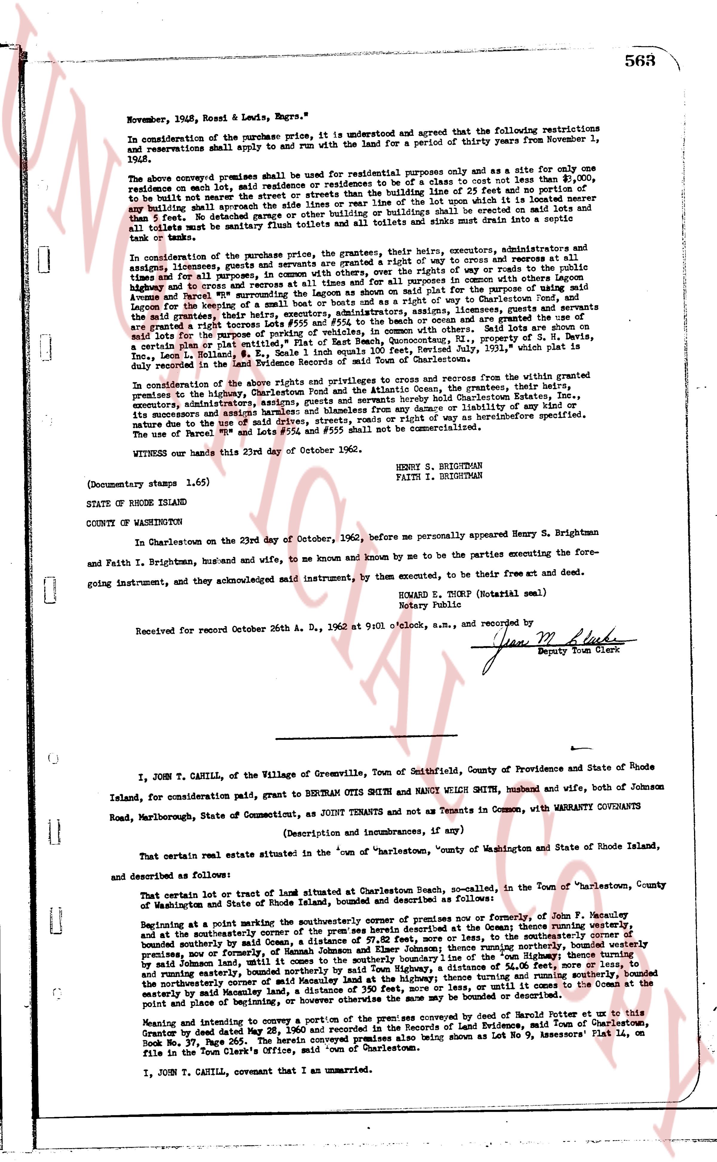
November, 1948, Ross & Lewis, Engrs.")
In consideration of the purchase price, it is understood and agreed that the following restrictions and reservations shall apply to the said land for a period of thirty years from November 1, 1948:
The above conveyed premises shall be used for residential purposes only and as a site for only one residence on each lot, said residence or residences to be of a class to cost not less than $10,000, to be built not nearer the street or streets than the building line of 25 feet and no portion of any building shall approach the side lines of the lot nearer than 10 feet, nor shall any ditch in it be excavated 5 feet or deeper. No other building or buildings or sheds shall be erected on said lots and all toilets must be sanitary flush toilets and all toilets and sinks must drain into a septic tank or tank."
In consideration of the purchase price, the grantees, their heirs, executors, administrators and assigns, licensees, guests and servants are granted a right of way to enter and cross and return at all times for any purpose, convenient access to the shore and the use of rights of way or roads to the public highway and to a cross and resorts at all times and for all purposes in common with other persons owning land adjacent to the shore, and the grantees are granted the use of the pier for the purpose of using said pier as a boat moth and or a berth for a ship or way of Charlestown Pond, and the grantees, their heirs, executors, administrators, assigns, licensees, guests and servants are granted a right to cross lots #554 and #555 to the beach or ocean and are granted the use of an existing lot for the purpose of use of said lot as a parking lot for the purpose of parking cars, a certain lot of land called "Flat of East Beach, Quonochontaug," property of S. H. Davis, containing 0.11 acres, described in a deed dated July 24, 1931, recorded July 26, 1931, in the Land Evidence records of the town of Charlestown.
In consideration of the above rights and privileges to cross and return for the use who are granted premises to the highway, Charlestown Pond and the Atlantic Ocean, the grantors, the grantees, their heirs, executors, administrators, successors and assignees, and persons hereby hold Charlestown Estates, Inc., its successors and assigns harmless and blameless from any damage or liability of any kind or nature due to the use of the said rights of way and privileges as hereinbefore specified. The use of Parcel "B" and Lots "#554 and #555 shall not be commercialized.
WITNESS our hands this 23rd day of October 1962.
HENRY S. BRIGHTMAN
FAITH I. BRIGHTMAN
(Documentary stamps 1.65)
STATE OF RHODE ISLAND
COUNTY OF WASHINGTON
In Charlestown on the 23rd day of October, 1962, before me personally appeared Henry S. Brightman and Faith I. Brightman, husband and wife, to me known and known by me to be the parties executing the foregoing instrument, and they acknowledged said instrument, to be by them executed, to be their free and deed.
HOWARD E. THORP (Notarial seal)
Notary Public
Received for record October 26th A. D., 1962 at 9:01 o'clock, a.m., and recorded by
[Signature]
Deputy Town Clerk
----
I, JOHN T. CANILL, of the Village of Greenville, Town of Smithfield, County Providence and State of Rhode Island, for consideration paid, grant to BERTRAN OTIS SMITH and NANCY WELSH SMITH, husband and wife, both of Johnson Road, Marlborough, State of Connecticut, as JOINT TENANTS and not as Tenants in Common, with WARRANTY COVENANTS
(Description and measurements, and if any)
That certain real estate situated in the town of "Charlestown," county of Washington and State of Rhode Island island, and described as follows:
That certain lot or tract of land situated at Charlestown Beach, namedly, in the Town of Charlestown, County of Washington and State of Rhode Island, bounded and described as follows:
Beginning at a point marking the southeasterly corner of premises now or formerly, of John F. Meazure, and running westerly, and at the southeasterly corner of the premises herein described as follows: thence running westerly, bounded southerly by all of said Common Land, a distance of 100.00 feet, more or less, to the northwest corner, premises now or formerly, of Hannah Johnson and Eileen Johnson; thence running northerly, bounded westerly by said Johnson land, until arriving at the southeasterly corner of the "Town Beach" property of the Town of Charlestown, and running easterly, bounded northerly by said Town Highway, a distance of 54.06 feet, more or less, to the northeasterly corner of said Town Beach property, thence running southerly, a distance of 100.00 feet, more or less, to the northeasterly corner of said Meazure land, a distance of 250 feet, more or less, until it comes to the Ocean at the easterly by said Meazure land, and returning northerly otherwise the same be may bounded or described as follows:
Meaning and intending to convey a portion of the premises conveyed by deed of Hannah Potter to us this instrument by deed dated May 28, 1936, recorded May 28, 1936, in the Land Evidence, said Town of Charlestown, Book No. 37, Page 265. The herein conveyed premises also being shown As Lot No 9, Assessors' Plat 14, on file in the Town Clerk's Office, said "Town of Charlestown."
I, JOHN T. CANILL, covenant that I am an unencumbered
The page as recorded