The instrument's own words
page 1
523
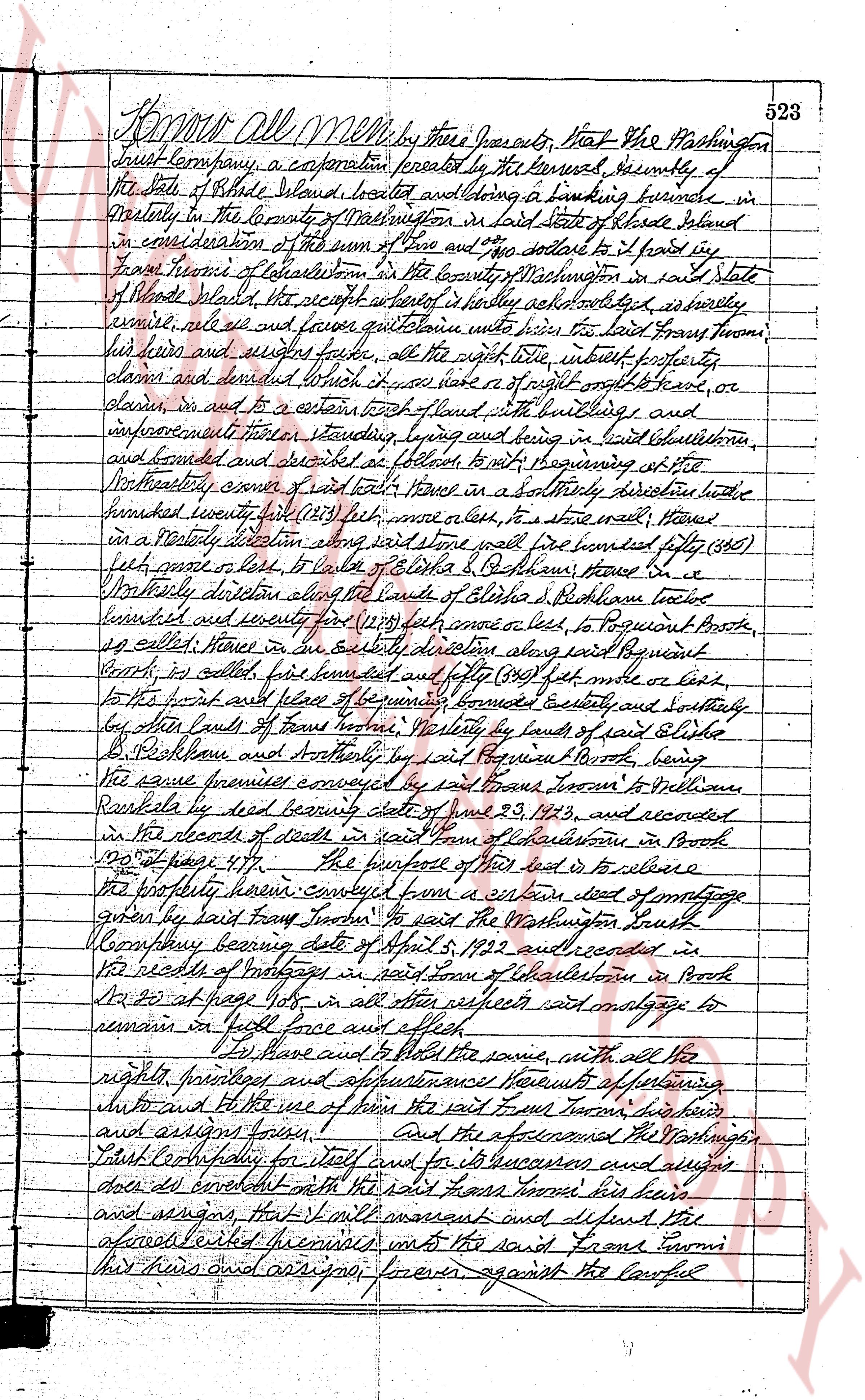
Know All Men by these presents, That the Washington
Trust Company, a corporation created by the General Assembly of
the State of Rhode Island, located and doing a banking business in
westerly in the County of Washington in said State of Rhode Island
in consideration of the sum of Two and no 00 dollars to it paid in
hand from Francis Brown of Charlestown in the County of Washington in said State
of Rhode Island the receipt whereof it hereby acknowledges it hereby
conveys, sells and conveys quitclaim unto said Francis Brown
his heirs and assigns forever, all the right title interest property
claims and demand it has or may have or of right ought to have or
claim in and to a certain tract of land with buildings and,
improvements thereon standing being lying and being in said Charlestown
and bounded and described as follows to wit beginning at the
Northeasterly corner of said tract of land moves in a Southeasterly direction a little
hundreds twenty feet (120) feet more or less, to a stone wall then
in a Southeasterly direction along said stone wall five hundred fifty (550)
feet more or less, to a line of Elbridge S. Pothome then S. E.
Northeasterly direction along the lands of Elbridge S. Pothome three
hundred and seventy (370) feet more or less, to Poquiant Brook
so called then in an easterly direction along said Poquiant
Brook so called five hundred and forty (540) feet more or less
to the point and place of beginning bounded easterly and southerly
by the lands of frame Brown westerly by lands of said Elbridge
S. Pothome and southerly by said Poquiant Brook, being
the same premises conveyed by said Fran Brown to William
Runkle by deed bearing date state of June 29, 1913, and recorded
in the deeds of deeds of said town of Charlestown in Book
120 at page 477 The further act of this deed is to release
the property herein conveyed from a certain deed of mortgage
given by said Fran Brown to said the Washington Trust
Company bearing date of April 5, 1922 and recorded in
the deeds of mortgage in said town of Charlestown in Book
20 at page 116 and in all other respects said mortgage to
remain in full force and effect
To have and to hold the same, with all the
rights privileges appurtenances easements of fishing
inland and the use of water of the said Fran Brown his heirs
and assigns forever. And the aforesaid the Washington
Trust Company for itself and for its successors and assigns
does do covenant with the said Fran Brown his heirs
and assigns, that it will warrant and defend the
aforesaid described premises unto the said Fran Brown
his heirs and assigns forever against the lawful
page 2
546
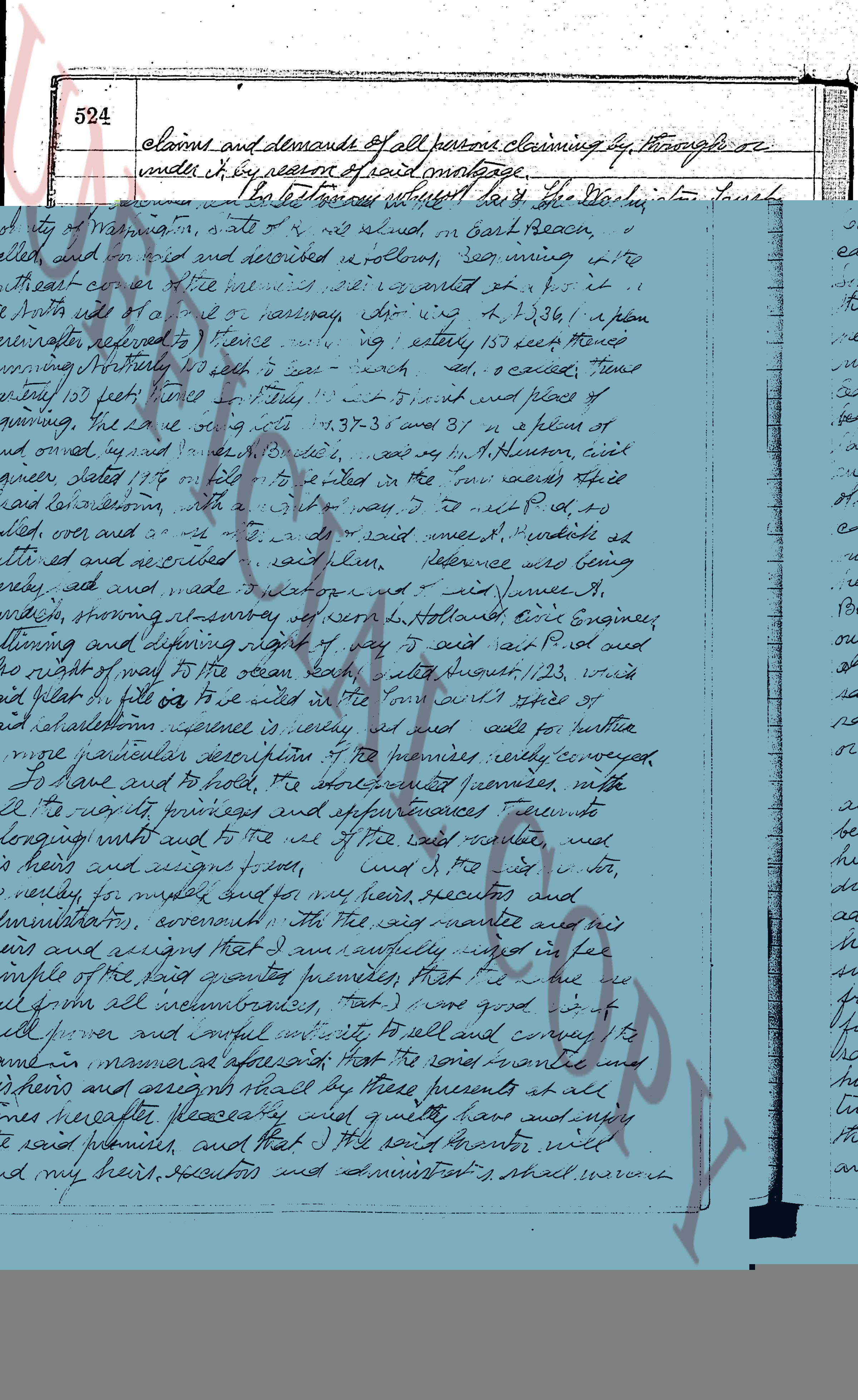
feet to a drill hole; thence southerly, on a course that is parallel with the first herein
mentioned course and partly along a stone wall, a distance of 122 feet to an iron pipe on
property line now aforesaid, a distance of 37.72 feet south from highway line; said
mentioned course be arc marked and defined
by a drill hole being in a rock located a distance of 37.72 feet northerly from highway line;
thence easterly along said northerly boundary line of Post Road, a distance of 83.20
feet to the point and place of beginning.
Bounded easterly by parcel marked out by post and pipe and by land of Lucille J. Scanlon, northerly
and westerly by land of the within grantors who boundary is certified by said Post Road.
Being all of lot shown and delineated as "Tail Pipkin Meadow", on that plan certified "Plan of
Property of H. Monroe Hoxsie & Elizabeth B. Hoxsie, S. U. I., Charlestown, R. I. Scale 1 inch = 40
feet, Sept. 4, 1959, R. A. Emerson, Civil Engineer", on file in the Records of Land Evidences,
said Town of Charlestown.
Also, hereby granting unto said grantees, with their heirs and assigns, appurtenances and
privileges, the right, in common with others, to cross and access to waterfront premises,
the right, in common with others, to use the beach at all times, that certain strip
or tract of land 100 feet wide starting at the intersection of R. Route No. 1, mentioned as
"Post Road", to Charlestown Fund and as shown and delineated as "Meadow Lane", on that plat
mentioned "Tail Pipkin Meadow", dated Sept. 4, 1959, Scale 1 inch = 100 feet, signed
R. A. Emerson, Engr., said plat being filed in the Office of the Town Clerk, said Town of
Charlestown, in Plat Book 3, Page 13.
We, W. Monroe Hoxsie and Elizabeth B. Hoxsie, husband and wife, verbose to grantees all our
right of curtesy and dower and all other interest in the aforesaid described premises.
WITNESS our hands this 13th day of September 1960.
W. MONROE HOXSIE
ELIZABETH B. HOXSIE
(DOCUMENTARY STAMP, 55$\text{c}$)
STATE OF RHODE ISLAND }
}
County of Washington }
In Charlestown on the 13th day of September, 1960 before me personally appeared W. Monroe Hoxsie and
Elizabeth B. Hoxsie, husband and wife, both to me known and known by me to be the parties executing the fore-
going instrument and they acknowledged said instrument by them executed to be their free act and deed.
LINTON L. BROWN
Notary Public
Received for record October 15th, A. D. 1960 at 2:45 o'clock, P. M., and recorded by
[Signature]
Town Clerk
***
We, THOMAS L. JASSAK and BERTHA S. JASSAK, both of the City of Central Falls, County of Providence
and State of Rhode Island, for consideration paid, grant to RAYMOND P. JASSAK, both
of said City, County and State, as JOINT TENANTS and not as Tenants in Common, with QUIT-CLAIM COVENANTS
of said City, County and State, as JOINT TENANTS and not as Tenants in Common, with QUIT-CLAIM COVENANTS
(Description, and improvements, if any.)
Those certain lots or tract of land, situated in the Town of Charlestown, County of Washington
and State of Rhode Island, known as and described as Lots Number 783, 784 and part of Lot Number
785a, on Assessor's Plat Number 16, on file in the Town Clerk's Office, said Town of Charlestown.
Being the same premises conveyed by deed of Richard Thistone to this Grantor by deed dated
December 18th, 1953 and recorded in the Record of Land Evidences, said Town of Charlestown,
Book No. 38 at Page 297.
I, Thomas L. Jassak, covenant that I am unmarried.
I, Bertha S. Jassak, covenant that I am unmarried.
WITNESS our hands this 15 day of October, 1962.
BERTHA S. JASSAK
THOMAS L. JASSAK
STATE OF RHODE ISLAND, ETC.,)
County of Providence }
In Central Falls on the 15 day of October, 1962 before me personally appeared Thomas L. Jassak and
Bertha S. Jassak to me known and known by me to be the parties executing the foregoing instrument, and they
acknowledged said instrument, by them executed, to be their free act and deed.
BERNARD ROMBOSKI (Notarial Seal)
Rotary Public
Received for record October 16th, A. D. 1962 at 9:00 o'clock, a. m., and recorded by
[Signature]
Town Clerk
The page as recorded