The instrument's own words
page 1
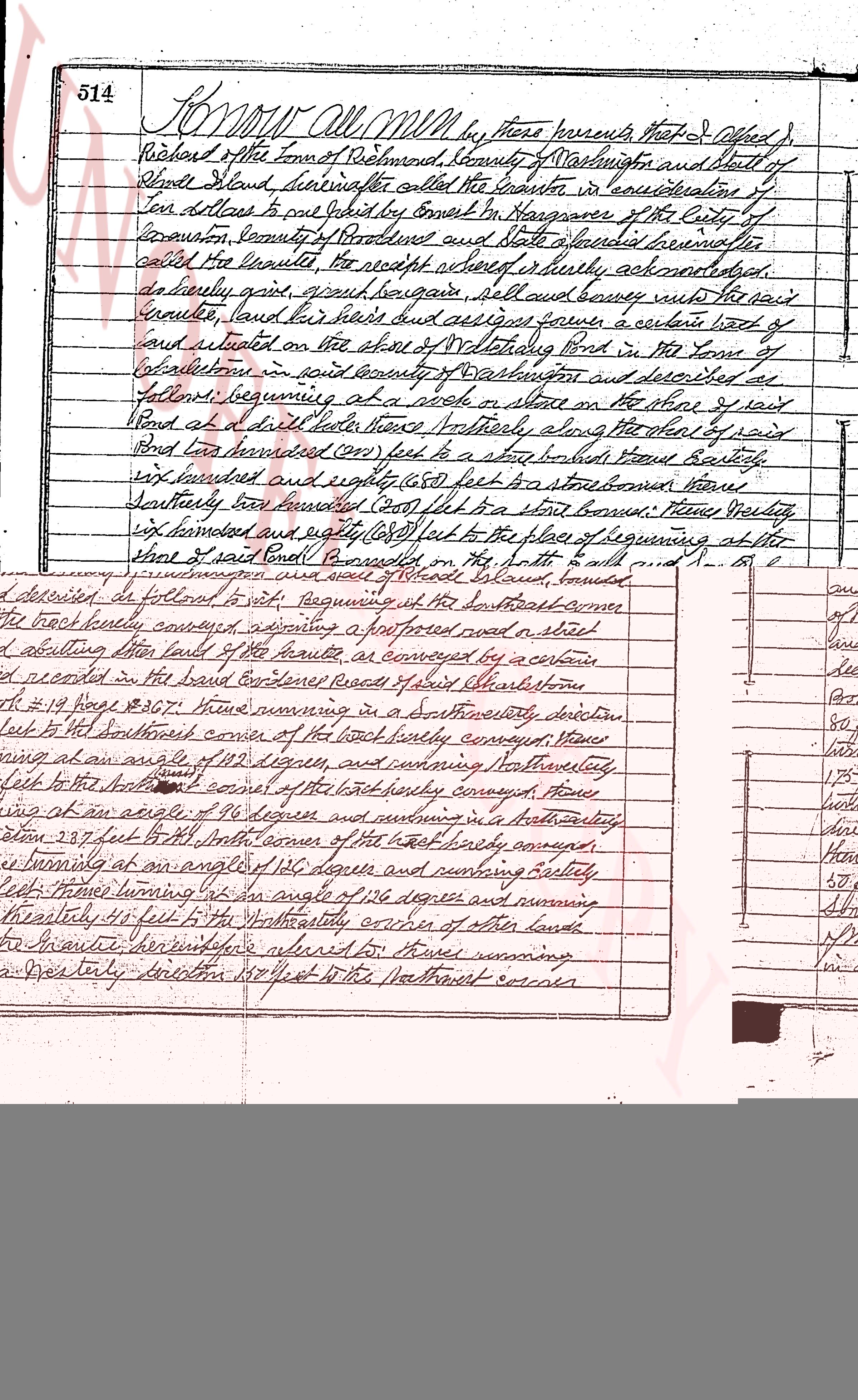
514 KNOW ALL MEN by these presents that I & Obadiah
Richard of the town of Richmond, County of Washington and State of
Rhode Island hereinafter called the Grantor in consideration of
Ten dollars to one hundred and five cents to me paid in Kingstown of the City of
Providence, county of Providence and State aforesaid hereinafter
called the Grantee the receipt whereof is hereby acknowledged,
do hereby grant, give, bargain sell and convey unto the said
Grantee, land heirs and assigns forever a certain lot of
land situated on the shore of the Walamlett Pond in the Town of
Richmond in said county of Washington and described as
follows, beginning at a stake in shore of the said
Pond at a drill hole there thence Northerly along the shore of said
Pond two hundred seventy feet to a stake beside some bushes
six hundred and eighty (680) feet to some stones shore
Northerly one hundred twenty feet to a stake beside bushes
six hundred and eighty (680) feet to the place of beginning at the
shore of said Pond bounded on the south, east and south by
land of Jonathan O and on the north by said Richmond Pond,
conveying to said Grantee his heirs and assigns a convenient
right of way from the Rhode River road’s road, as called,
to the back door, accessory, reserving however to the said
Grantor the right to cut and haul timber on said land,
but not upon winter than one hundred and fifty (150) feet of the shore,
To have and to hold the aforesaid premises with
all the rights privileges and appurtenances belonging
unto and to the use of the said Grantee and his heirs and
assigns forever. And I the said Grantor, do hereby,
for myself and for my heirs, executors and administrators,
covenant with the said Grantee and his heirs and assigns
that I am lawfully seized in the sole proprietorship of the said granted
premises that the same all free from all liens encumbrances
that I have good right full power and lawful authority
to sell and convey the same in manner as aforesaid that
the said Grantee and his heirs and assigns shall by these
presents at all times hereafter peacefully and quietly have
and enjoy the said premises and that I shall warrant
will duly my heirs executors and administrators warrant
and defend the same to the said Grantee and his heirs and
assigns forever against the lawful claims and demands of all persons
and I covenant that I am unmarried.
In witness whereof I have hereunto set my hand and seal
this 18th day of August in the year of our Lord one thousand
page 2
515
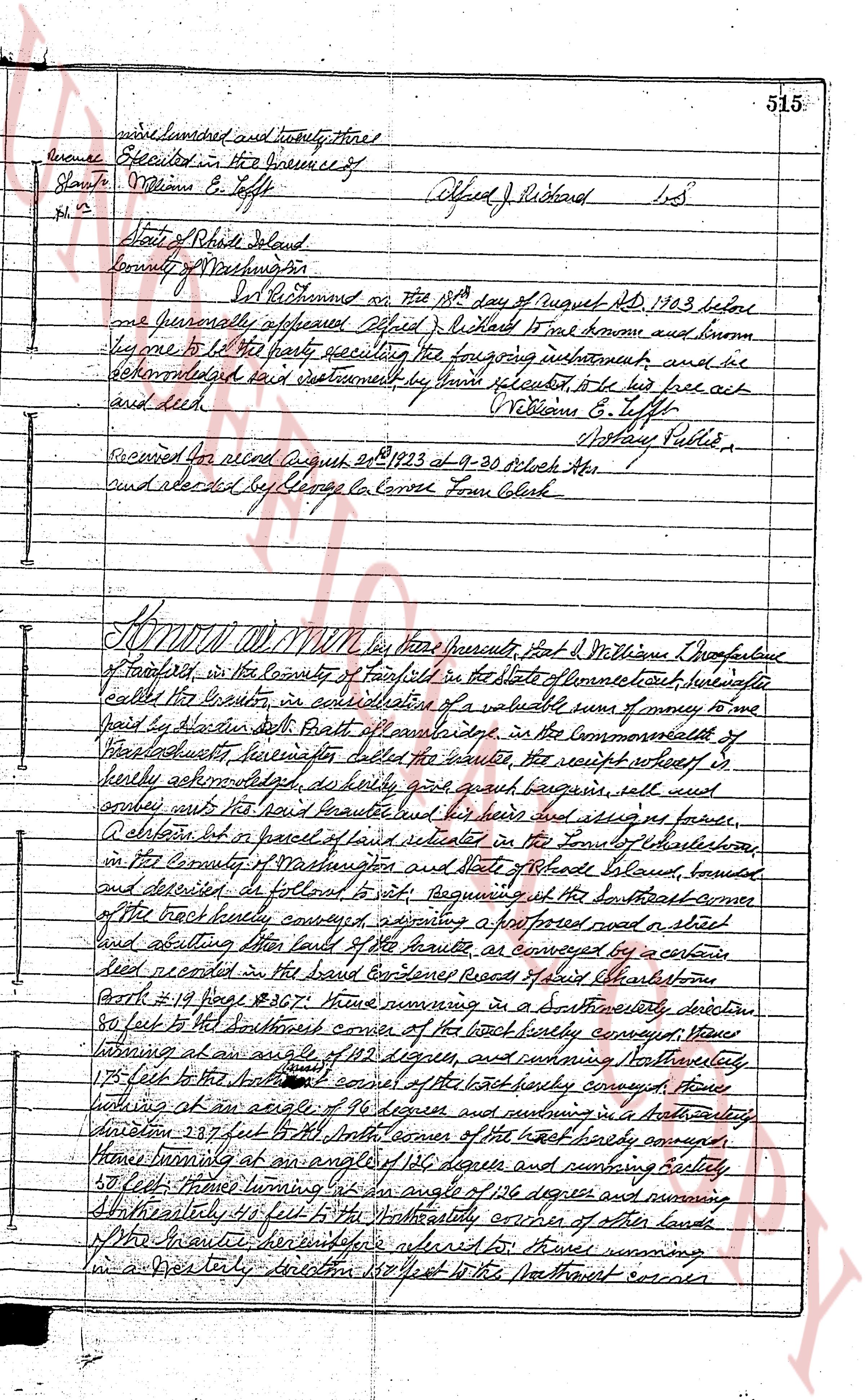
wise one hundred and twenty three pieces
Insurance Executed in the Insurance of
Stamp $ William E. Tuffey
No. 2 Alfred J. Richard L.S.
State of Rhode Island
County of Providence
On Richard on the 18th day of August AD 1903 before
me personally appeared Alfred J. Richard well known and known
known to be the party executing the foregoing instrument and ac-
knowledged said instrument by hand signed sealed to be his free act
and deed. William E. Tuffey
Notary Public
Received for record August 20th 1903 at 9-30 o'clock AM
and recorded by George La Cour Town Clerk
KNOW ALL MEN by these presents that I Williams E. Tuffey of Providence
of transferred in the County of Fairfield in the State of Connecticut’s manufacture
called the Iron Foundry in consideration of a valuable sum of money to me
paid by Aliston Smith both of aforementioned in the Commonwealth of
Massachusetts, hereinafter called the grantee the receipt whereof is
hereby acknowledged as fully paid and quit bargain sell and
convey unto the said Aliston Smith her heirs and assign as forever,
all that piece or parcel of land situated in the Town of Eaststone
in the County of Washington and State of Rhode Island, bounded
and described as follows to wit: beginning at the southeast corner
of the track hereby conveyed adjoining a highway road a steel
and abutting upon lands of the grantee as conveyed by a certain
deed recorded in the East Coventry Records of Said Eaststone
Book #19 Page #307 thus running in a southeasterly direction
50 feet to the southeast corner of the track hereby conveyed then
turning at an angle of 122 degrees and running northwesterly
175 feet to the southeast corner of the track hereby conveyed then
looking at an angle of 96 degrees and running in a northwesterly
direction 237 feet from south corner of the track hereby conveyed
then turning at an angle of 130 degrees and running easterly
58 feet then turning at an angle of 156 degrees and running
Southeasterly 48 feet to the northeasterly corner of other lands
the grants hereinbefore referred to then running
in a westerly direction 150 feet to the northwest corner
The page as recorded