The instrument's own words
page 1
511
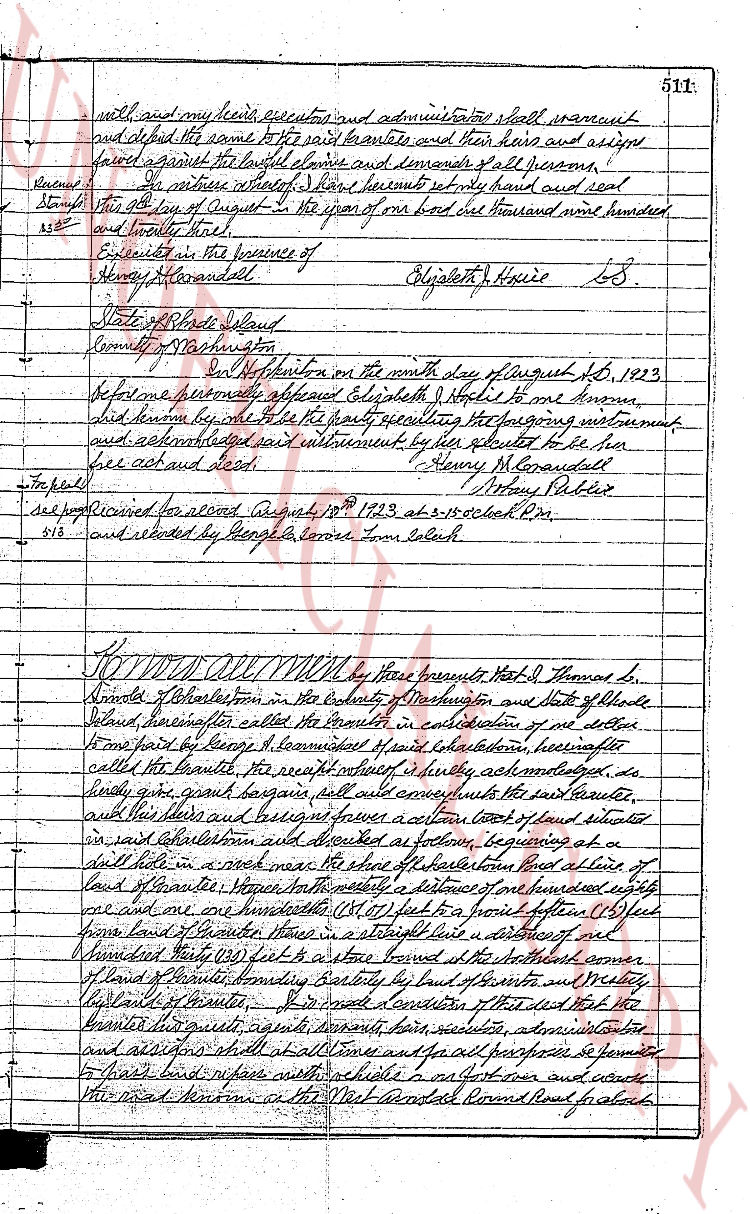
well and my heirs, executors and administrators shall warrant
and defend the same to the said grantees and their heirs and assigns
forever against the lawful claims and demands of all persons,
Revenues: In witness whereof I have hereto set my hand and seal
Stamp this 24th day of August in the year of our Lord one thousand nine hundred
3.52 and twenty three.
Executed in the presence of
Henry M. Garandell Elizabeth H. Hoxie LS.
Mary Pabler
State of Rhode Island
County of Washington
On this twenty fourth on the ninth day of August A.D. 1923,
before me personally appeared Elizabeth H. Hoxie to me known,
did solemn ly swear that she be the party executing the foregoing instrument
and acknowledged said instrument by her signature to be her
free act and deed. Henry M. Garandell
Mary Pabler
For peel
see page received for record August 18th 1923 at 2:15 o'clock PM.
5.13 and recorded by George G. Carrie Town Clerk
KNOW ALL MEN by these presents that Thos J. Thomas S.
Smiles of Charlestown in the County of Washington and State of Rhode
Island, hereinafter called the Grantor in consideration of one dollar
from part paid by George G. Learmond of said Charlestown, hereinafter
called the Grantee, the receipt whereof is fully acknowledged, do
hereby give grant bargain sell and convey unto the said Grantee,
and his heirs and assigns forever a certain tract of land situated
in said Charlestown and described as follows, beginning at a
drill hole in a rock near the shore of the salt pond and running a line of
land of Grantee; thence north a distance of one hundred eighty
one and one hundredths (181.01) feet to a punch fence (15) feet
from land of Grantee; thence in a straight line a distance of one
hundred Twenty (120) feet to a stone bound at the North east corner
of land of Grantee, bounding Easterly by land of Grantor and Westerly
by land of Grantee. Of and for consideration of this deed that the
Grantor his heirs, agents, servants, heirs, executors, administrators
and assigns shall at all times and for all purposes permit the
Grantee his heirs and assigns with his ride on his foot own and across
the road known as the West Providence Round Road for about
page 2
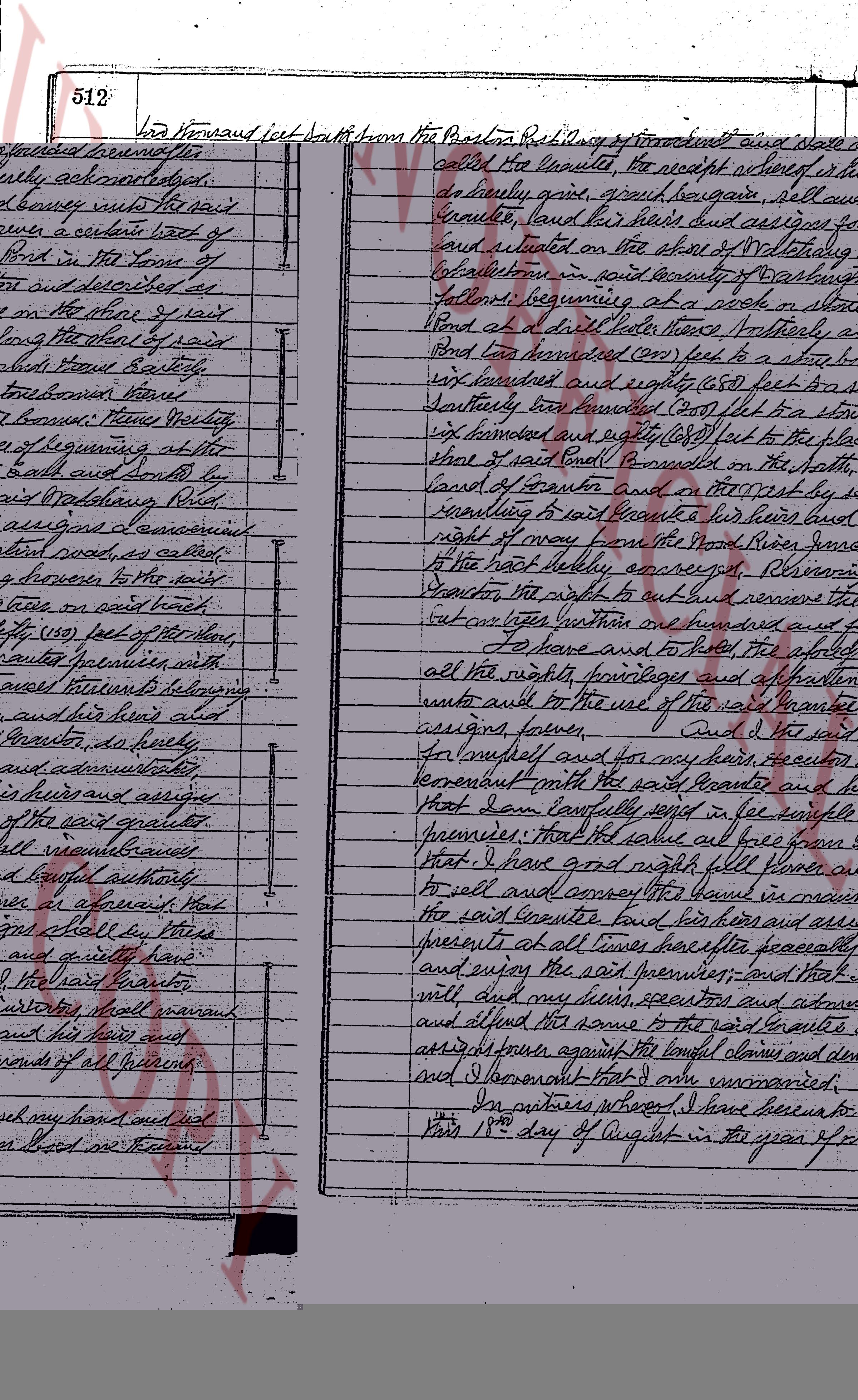
512 fora hundred feet south from the Paxton Road Course thence easterly along
the West line of the land known as the Welcome H. Foster land now owned
by this Grantee to a gate about one hundred twenty (120) feet from
said Easterly line from a Post a Course westerly across the beach Brush and
Dirt and marsh causing their land now owned by this Grantee onto the
land known as the Washburn Road to the sea linearly conveyed. Gave the
Grantee his guests agents servants heirs executors administrators and
assigns what she does have a right of way to the beach and ocean and
across the rich land a pathway of width which is shown on a plan of
each land course designated as follows "Beach Course owned by Sarah
Jennings after her late husband and her many children Elizabeth & John H. Jennings
said Bay July 19 1841 said part being flat in the beach Course road
of said Grantee. To Have and to hold the aforesaid
premises with all the rights privileges appurtenances whatsoever
belonging unto and to the use of the said Grantee and his heirs and
assigns forever. And I the said Grantor do hereby for myself my
heirs their heirs executors and administrators covenant that of several parts
the said Grantee and his heirs and assigns that I warrant forever
that in few samples of the said granted premises that the same
will be free from all encumbrances and that I have good and right full
power lawful authority to sell and convey the same in
manner as aforesaid that the said Grantee and his heirs and
assigns shall quietly have and enjoy the said premises and that I and the
said Grantor will and my heirs executors and administrators
shall warrant and defend the same to the said Grantee and his
heirs and assigns against the lawful claims and demands
of all persons And for the consideration aforesaid and mentioned
above of the sum of ten dollars I do hereby release all
my right of ownership and to the said Grantee premises unto the
said Grantee and his heirs and assigns forever.
In witness whereof we have hereunto set our hands and seals
this 13 day of August in the year of our Lord one thousand nine hundred and eighty
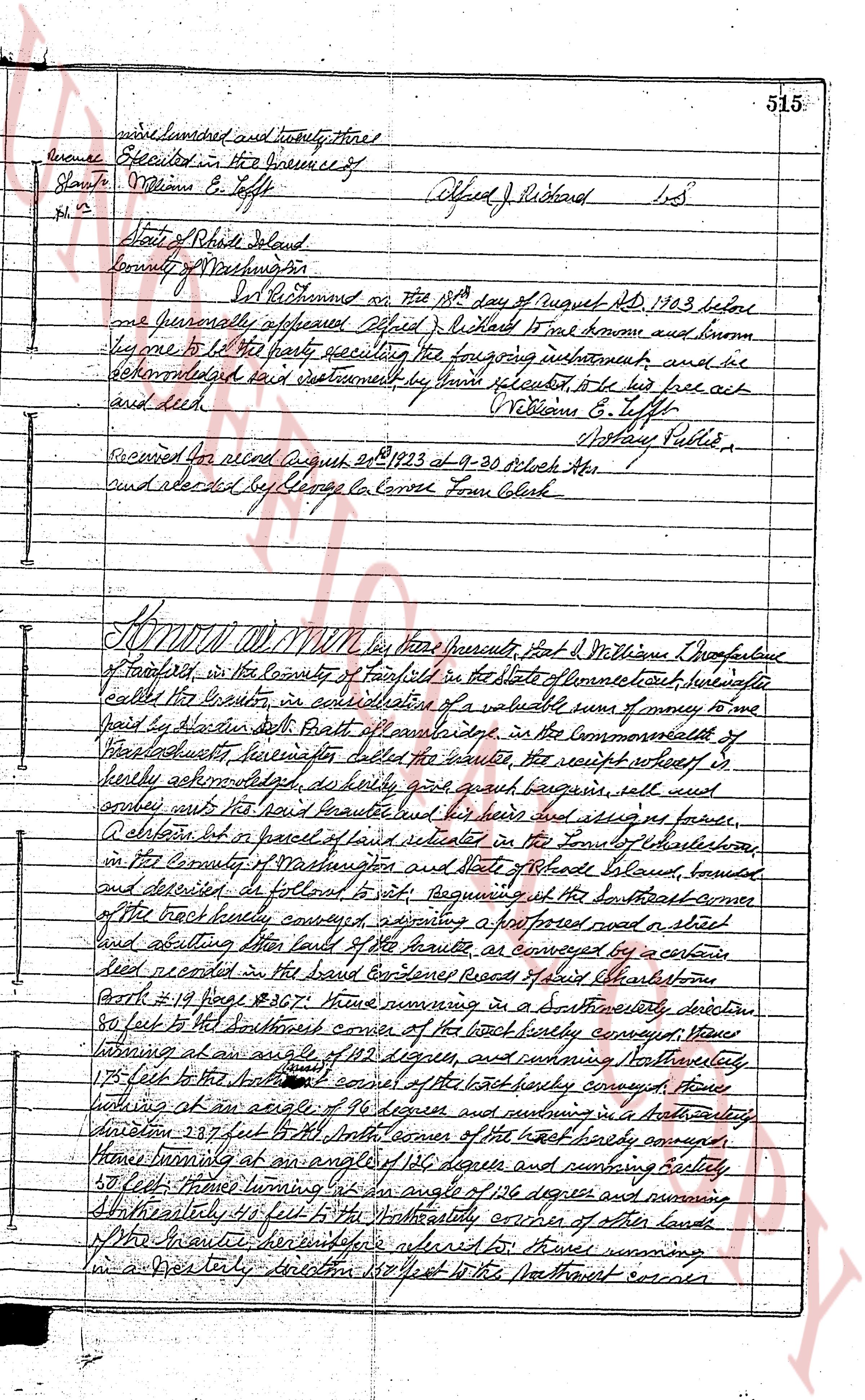
Executed in the presence of
George G. Larson
Thomas H. Foster S.S.
Mary H. Foster S.S.
State of Rhode Island
County of Washington
On Lebanon on the 13th day of August the
1983 before me one person lawfully sworn aforesaid Thomas H. Foster and Mary H. Foster
from whom and known by me to be the parties executing the foregoing
instrument and they acknowledged said instrument they being executed
to be their free act and deed.
George G. Larson
Ashray Public
Notarized for me Aug 13 1983 at 10 o'clock A.M.
and recorded by the Clerk C. Brown Town Clerk
page 3
513
OCEAN
Drill Hole in
Sea wall
Drill Holes in
Sea wall
Plat. 36
PLAT OF LAND
AT QUONGONT AUSSET BEACH IN
CHARLESTOWN R.I. "LOT NO. 5"
BELONGING TO ELIZABETH J. HOXSIE
SCALE 20'-1" AUGUST 1925
Earl C. Whaley Surveyor
EDWARD S CRUMB
76.3' S 21° E
LOT NO. 5
204'
94.3' N 15° W
MRS. HOLMES
32'
44.2'
82'
10'
31'
RIGHT OF WAY
BERNARD C. HOLTROP
30'
40'
The page as recorded