The instrument's own words
page 1 · read by Gemma vision
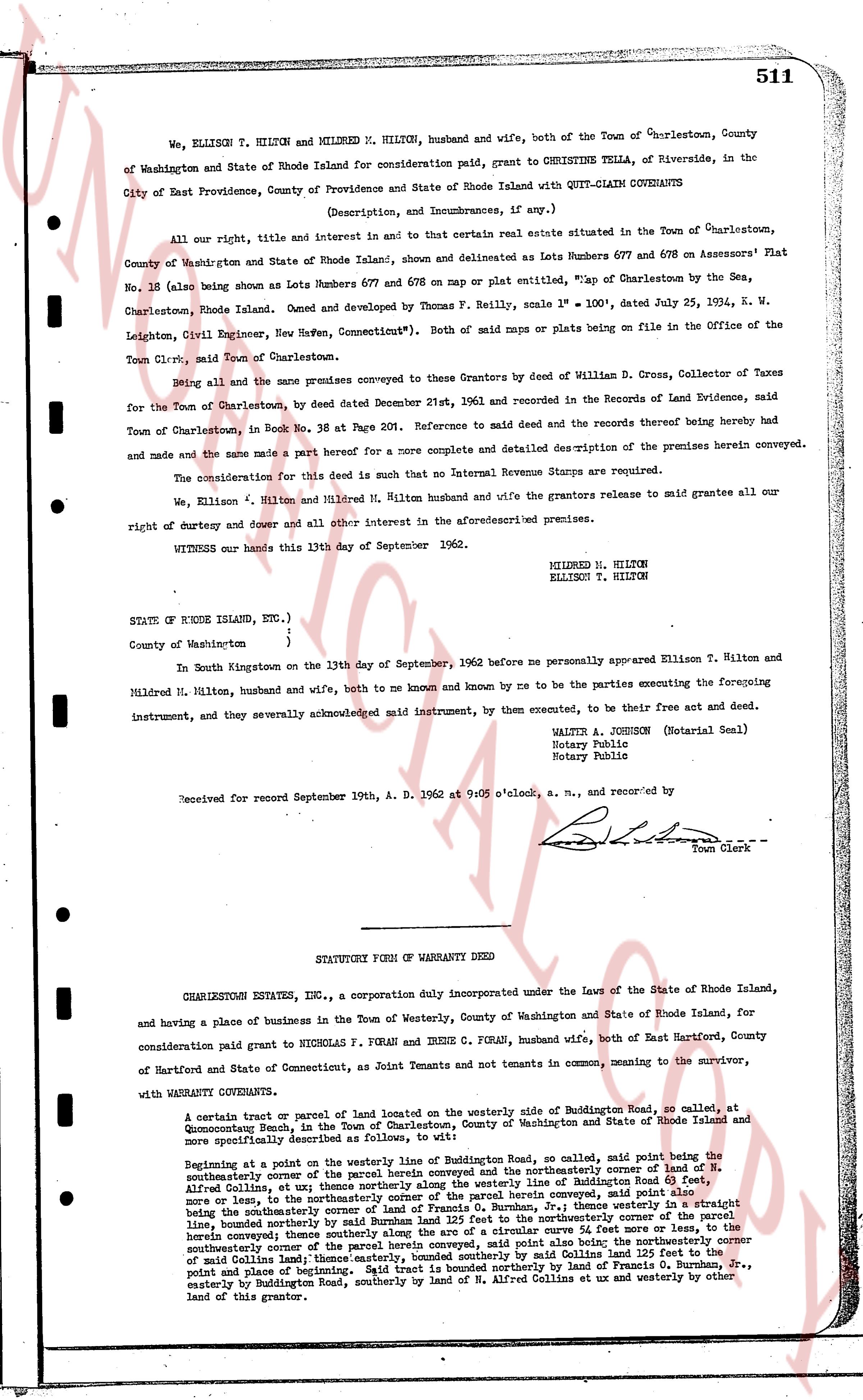
511
We, ELLISON T. HILTON and MILDRED M. HILTON, husband and wife, both of the Town of Charlestown, County of Washington and State of Rhode Island for consideration paid, grant to CHRISTINE TELLA, of Riverside, in the City of East Providence, County of Providence and State of Rhode Island with QUIT-CLAIM COVENANTS
(Description, and Incumbrances, if any,)
All our right, title and interest in and to that certain real estate situated in the Town of Charlestown, County of Washington and State of Rhode Island, shown and delineated as Lots Numbers 677 and 678 on Assessors' Plat No. 18 (also being shown as Lots Numbers 677 and 678 on map or plat entitled, "Map of Charlestown by the Sea, Charlestown, Rhode Island. Owned and developed by Thomas P. Reilly, scale 1" = 100', dated July 25, 1924, K. W. Leighton, Civil Engineer, New Haven, Connecticut"). Both of said maps or plats being on file in the office of the Town Clerk, said Town of Charlestown.
Being all of the same premises conveyed to these Grantors by deed of William D. Cross, Collector of Taxes for the Town of Charlestown, by deed dated December 21st, 1961 and recorded in Records of Land Evidence, said Town of Charlestown, in Book No. 38 at Page 201. Reference to said deed and the records thereof being hereby had and made and the same made a part hereof for a more complete and detailed description of the premises herein conveyed.
The consideration for this deed is such that no Internal Revenue Stamps are required.
We, Ellison T. Hilton and Mildred M. Hilton husband and wife the grantors release to said grantee all our right of dowery and dower all and other interest in the aforementioned premises.
WITNESS our hands this 13th day of September of 1962.
MILDRED M. HILTON
ELLISON T. HILTON
STATE OF RHODE ISLAND, ETC.,)
County of Washington )
In South Kingstown on the 13th day of September, 1962 before me personally appeared Ellison T. Hilton and Mildred M. Hilton, husband and wife, both to me known and known by me to be the parties executing the foregoing instrument, and they severally acknowledged said instrument, by them executed, to be their free act and deed.
WALTER A. JOHNSON (Notarial Seal)
Notary Public
Notary Public
Received for record September 19th, A. D. 1962 at 9:05 o'clock, a. m., and recorded by
[Signature]
Town Clerk
----
STATUTORY FORM OF WARRANTY DEED
CHARLESTOWN ESTATES INC., a corporation duly incorporated under the Laws of the State of Rhode Island, and having a place of business in the Town of Westerly, County of Washington and State of Rhode Island, for consideration paid grant to NICHOLAS F. FORAN and IRENE C. FORAN, husband and wife, both of East Hartford, County of Hartford and State of Connecticut, as Joint Tenants and not tenants in common, meaning to the survivor,
with WARRANTY COVENANTS.
A certain tract or parcel of land located on the westerly side of Buddington Road, so called, at Quonocutunk Beach, in the Town of Charlestown, County of Washington and State of Rhode Island and more specifically described as follows, to wit:
Beginning at a point on the westerly line of Buddington Road, so called, said point being the southeasterly corner of the parcel of land conveyed and the northeasterly corner of land of W. H. Alfred Collins, et ux; thence northerly along the said line of Buddington Road in a southwesterly direction, said Alfred Collins, et ux; thence northerly along the said line of Buddington Road in a southwesterly direction, more or less, to the northeasterly corner of the parcel herein conveyed, said point also being the southeasterly corner of land of Francis G. Burnhem, Jr., thence westerly in a straight line, bound northerly by the northeasterly corner of the parcel herein conveyed, said point also being the southeasterly corner of the parcel herein conveyed, thence southerly along the arc of a circular curve 54 feet more or less, to the southeasterly corner of the parcel herein conveyed, said point being 110 feet before the southeasterly corner of the said Collins land; thence easterly, bounded easterly by said Collins 125 feet to the point and place of beginning. Said tract is bounded northerly by land of Francis G. Burnhem, Jr., easterly by Buddington Road, southerly by land of W. H. Alfred Collins et ux and westerly by other land of this grantor.
page 2 · read by Gemma vision
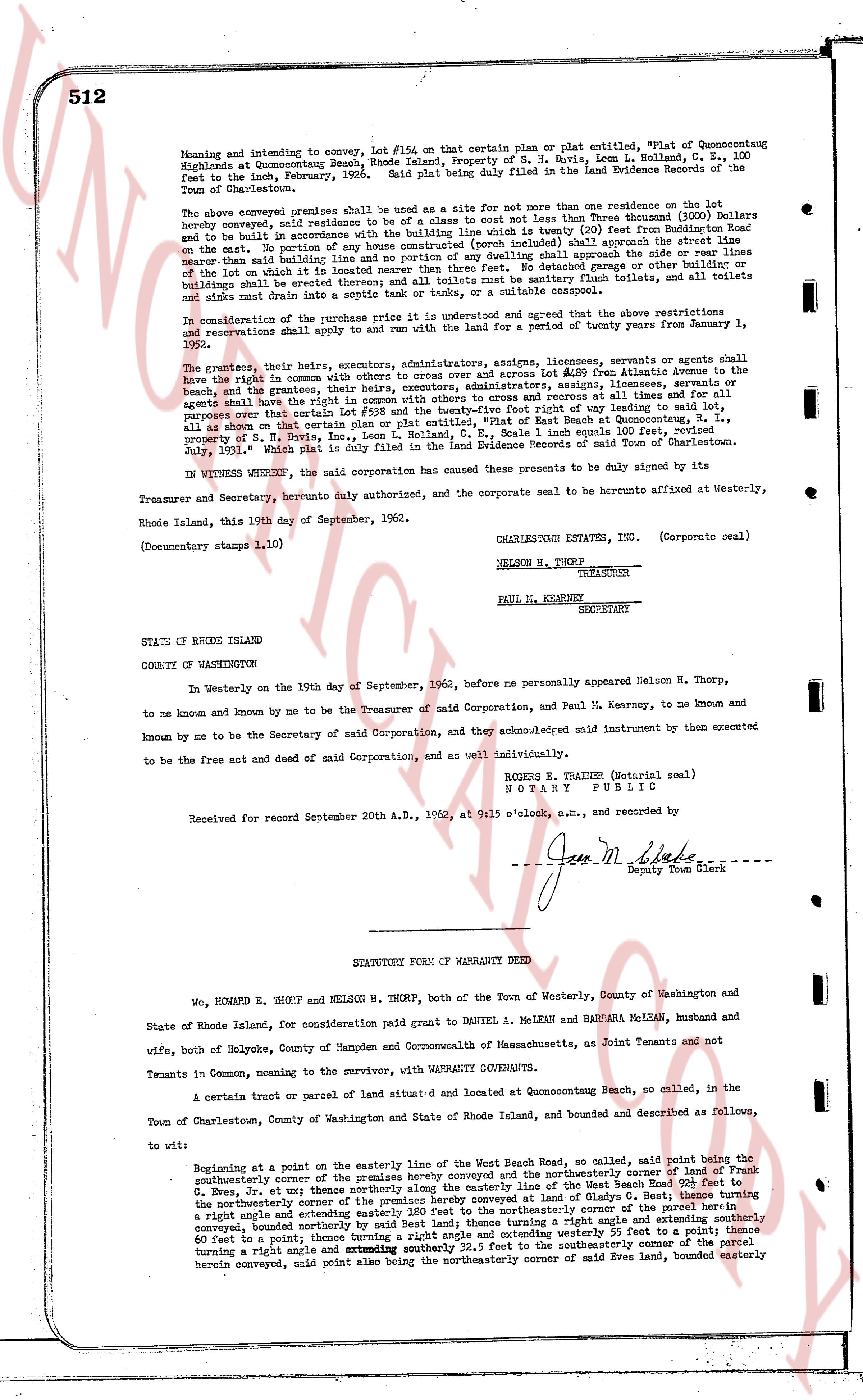
512
Meaning and intending to convey, Lot #154 on that certain plan or plat entitled, "split of Quonocutcong
Highlands at Quonocutcong Beach, Rhode Island, Property of H. B. Davis, Leon L. Holland, C. E., 100
feet to the inch, February 1931," and said plan is being duly filed in the Land Evidence Records of the
Town of Charlestown.
The above conveyed premises shall be used as a site for not more than one Residence on the lot
hereby conveyed, said residence to be of a class not less than three Thousand (1000) Dollars
and to be built in accordance with the building line which is twenty (20) feet from the frontage line
on the map. No portion of any building line and no portion of any dwelling shall approach the side or rear lines
more nearly than said building line and no portion of any building, garage or other accessory
of the lot on which it is located nearest the frontage line shall be placed forward of the building line.
All toilets shall be sanitary flush toilets, and all toilets
buildings shall be vented into a septic tank or cesspool, or a suitable cesspool.
In consideration of the purchase price it is understood and agreed that the above restrictions
and reservations shall remain in full force and effect for a period of twenty years from January 1,
1952.
The grantors, their heirs, executors, administrators, assigns, licensees, servants or agents shall
have the right in common with others to access over and across Lot #149 from Atlantic Avenue to the
beach, and the grantees, their heirs, executors, administrators, assigns, licensees, servants or agents
shall have the right to use the said Lot #149 for ingress and egress at all times, and it is
understood that certain Lot #138 and the twenty-five foot right of way leading to said lot,
purpose over Lot #138, Lot #149 and the twenty-five foot right of way from Beach Road to Quonocutcong
all as shown on that certain plan "split of Quonocutcong Highlands at Quonocutcong Beach, 1 inch equals 100 feet, review
proved by H. B. Davis, Leon L. Holland, C. E., scale 1 inch equals 100 feet, review
July, 1931." Which plat is duly filed in the Land Evidence Records of said Town of Charlestown.
IN WITNESS WHEREOF, the said corporation has caused these presents to be duly signed by its
Treasurer and Secretary, heretofore duly authorized and the corporate seal to be hereunto affixed at Westerly,
Rhode Island, this 19th day of September, 1962.
(Documentary stamps 1.10)
CHARLESTOWN ESTATES, INC. (Corporate seal)
NELSON H. THORP
TREASURER
PAUL M. KEARNEY
SECRETARY
STATE OF RHODE ISLAND
COUNTY OF WASHINGTON
In Westerly on the 19th day of September, 1962, before me personally appeared Nelson H. Thorp,
to me known and by me to be the Treasurer of said Corporation, and Paul M. Kearney, to me known and
known by me to be the Secretary of said Corporation, and they acknowledged said instrument by them executed
known by me to be the free act and deed of said Corporation, and as well individually.
ROGER S. TRAINER (Notarial seal)
NOTARY PUBLIC
Received for record September 20th A.D., 1962, at 9:15 o'clock, a.m., and recorded by
Jean M. Shabe
Deputy Town Clerk
----
STATUTORY FORM OF WARRANTY DEED
We, HOMARD E. THORP and NELSON H. THORP, both of the Town of Westerly, County of Washington and
State of Rhode Island, for consideration paid grant to DANIEL M. MCLENNAN and BARBARA MCLENNAN, husband and
wife, both of Holyoke, County of Hampden and Commonwealth of Massachusetts, as Joint Tenants and not
Tenants in Common, meaning to convey, with WARRANTY COVENANTS,
A certain tract or parcel of land situated and located at Quonocutcong Beach, so called, in the
Town of Charlestown, County of Washington and State of Rhode Island, bounded and described as follows,
to wit:
Beginning at a point on the easterly line of the West Beach Road, so called, said point being the
northeasterly corner of the premises hereby conveyed and the northeasterly corner of land of Frank
C. Eves, Jr. et ux; thence northerly along the easterly line of the West Beach Road to the
northeasterly corner of land of Frank C. Eves, Jr. et ux and of Charles G. Best; thence turning a
right angle and extending easterly 180 feet to the northeasterly corner of the parcel herein
conveyed, bounded northerly by said Best land; thence turning a right angle and extending southerly
100 feet to a point; thence turning a right angle and extending westerly 55 feet to a point; thence
60 feet to a point; thence turning a right angle and extending southerly 24.5 feet to the southeasterly corner of the
herein conveyed, said point also being the northeasterly corner of said Eves land, bounded easterly
The page as recorded