The instrument's own words
page 1
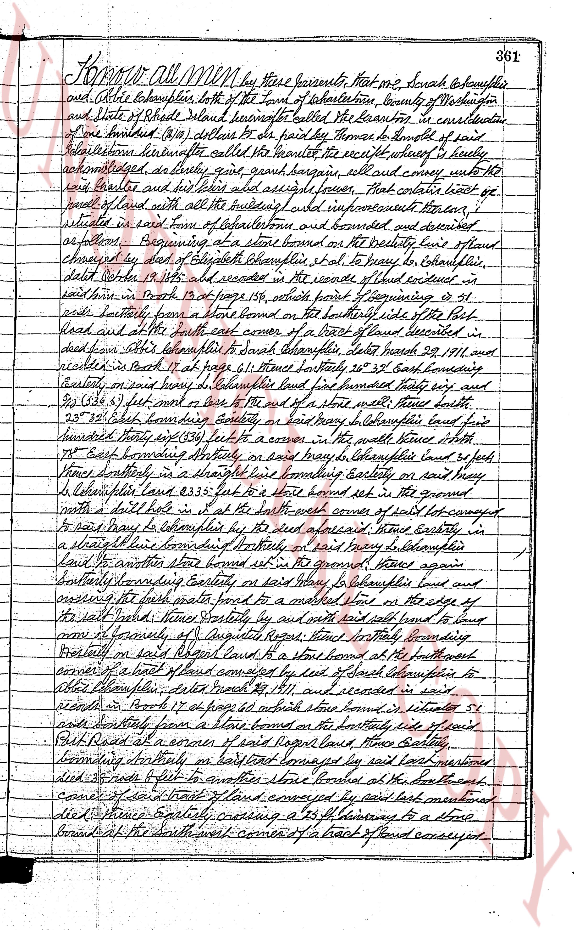
Know all Men by these presents, that one I, Sarah daughter to her father
and Christie Lechampin, both of the Town of Charlestown, County of Washington
and State of Rhode Island knowing the aforesaid to be Grantors to me consideration
of one hundred (100) dollars to be paid by Thomas to denote of said
Lechampin hereinafter called the Grantee the receipt whereof is hereby
acknowledged, do hereby grant bargain sell and convey unto the
said Grantee and his heirs and assigns forever, That certain tract of land
part of land with all the buildings wall and improvements thereon, situated
in said Town of Charlestown and bounded and described
as follows: Beginning at a stone bounded on the westerly line of land
conveyed by deed of Elizabeth Champin to her, to braggs, to Charlestown,
dated Oct 19th 1815 and recorded in the records of land enclosed in
said town in Book 13 at page 158, which point of beginning is 41
rods southerly from a stone bounded on the southerly side of the Port
Road and at the south east corner of a tract of land described in
deed from Alice Lechampin to Sarah Lechampin, dated March 29, 1911 and
recorded in Book 11 at page 61; Thence northerly 20° 35' East bounding
Easterly on said land pay to Columphius land five hundred thirty one and
21/100 (531.21) feet more or less to the end of a stone wall; thence north
25° 35' East bounding Easterly on said land pay to Columphius land five
hundred thirty one (531) feet to a corner in the wall; thence north
15° East bounding Northerly on said land pay to Lechampin land 30 feet;
thence Southerly in a straight line bounding Easterly on said Mary
L. Lechampin land 83.35 feet to a stone bound set in the ground
marked with a doll hole set in the south west corner of said lot conveyed
to said Mary Lechampin by deed dated aforesaid; thence Easterly in
a straight line bounding Northerly on said Mary L land aforesaid; thence Easterly in
a straight line bounding Northerly on said Mary L land aforesaid; thence again
southerly bounding Easterly on said Mary L Lechampin land and
crossing the public state road to a marked stone on the edge of
the salt marsh; thence Easterly by and with said salt land to bound
now of formerly of Augusta Rogers; thence Northerly bounding
Northerly on said Rogers land to a stone bound at the northwest
corner of a tract of land conveyed by deed of Sarah Lechampin to
Albert Lechampin, date March 29, 1911 and recorded in said
records in Book 17 at page 66; which stone bound is located 51
rods southerly from a stone bound on the northerly side of said
Port Road at a corner of said Rogers land; thence Easterly,
bounding northerly on said land aforesaid by said last mentioned
died 355 feet to another stone bound at the southeast
corner of said tract of land conveyed by said last mentioned
died; thence Easterly crossing a 25 ft highway to a stone
bound at the southwest corner of a tract of land conveyed
page 2
362
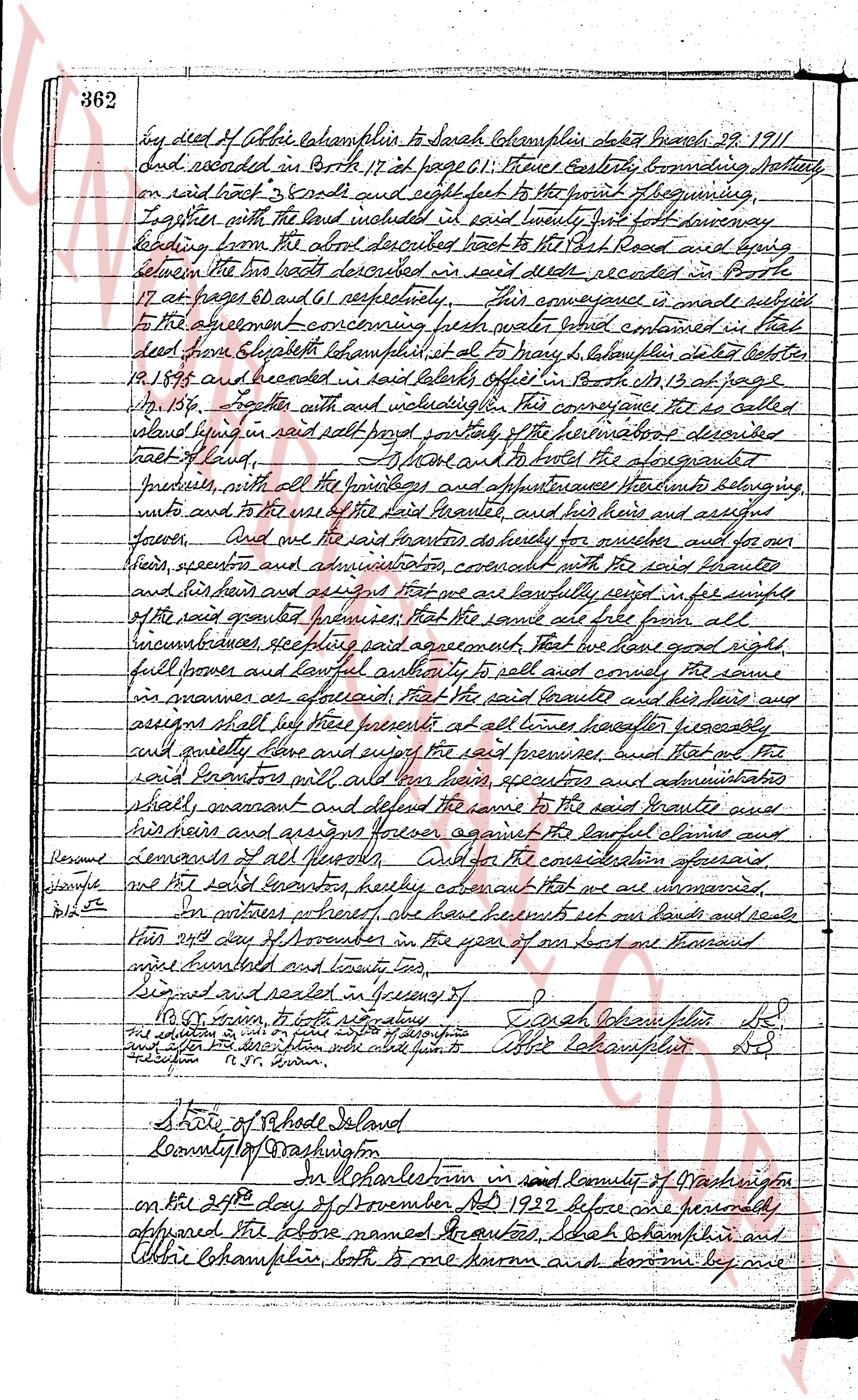
by deed of Allie Champlin to Sarah Champlin dated March 29 1911
and recorded in Book 17 at page 61: three feet westerly bounding lattice
on said road 3 feet south and eight feet to the point of beginning,
together with the land included in said twenty feet wide driveway
leading from the above described road to the Fish Road and being
between the two lots described in said deed recorded in Book
17 at pages 60 and 61 respectively. This conveyance is made subject
to the agreement concerning the well water shed contained in their
deed from Elizabeth Champlin et al to Mary L Champlin dated October
12 1875 and recorded in said town's office in Book 13 at page
No 136. Further with and subject to this conveyance the so called
island being in said road parcel part of the reservations described
back of land. To have and to hold the above granted
premises, with all the privileges and appurtenances thereto belonging
unto and to the use of the said Grantee, and her heirs and assigns
forever. And we the said Grantors do hereby for ourselves and for our
heirs, executors and administrators covenant with the said Grantee
and her heirs and assigns that we are and shall be lawfully seized in the fee simple
of the said granted premises and that the same are also free from all
incumbrances etc per said agreement. That we have good right,
full power and lawful authority to sell and convey the same
in manner as aforesaid. That the said Grantee and her heirs and
assigns shall quietly have and enjoy the said premises however lawfully
suit quietly have and enjoy the said premises, but that of the
said Grantors will all for them heirs executors and administrators
shall warrant and defend the same to the said Grantee and
her heirs and assigns forever against the lawful claims and
demands of all persons. Lastly for the consideration aforesaid
given we the said Grantors hereby declare that we are unmarried.
[illegible]
In witness whereof we have hereunto set our hands and seals
this 24th day of November in the year of our Lord one thousand
nine hundred and twenty two.
Signed and sealed in presence of
S.D. Brown, to both signatures
Sarah Champlin Seal
Allie Champlin Seal
[illegible]
[illegible]
State of Rhode Island
County of Washington
On this 24th of November in said County of Washington
on the 24th day of November AD 1922 before me personally
appeared the above named Grantors, Sarah Champlin and
Allie Champlin, both to me known and being by me
page 3
363
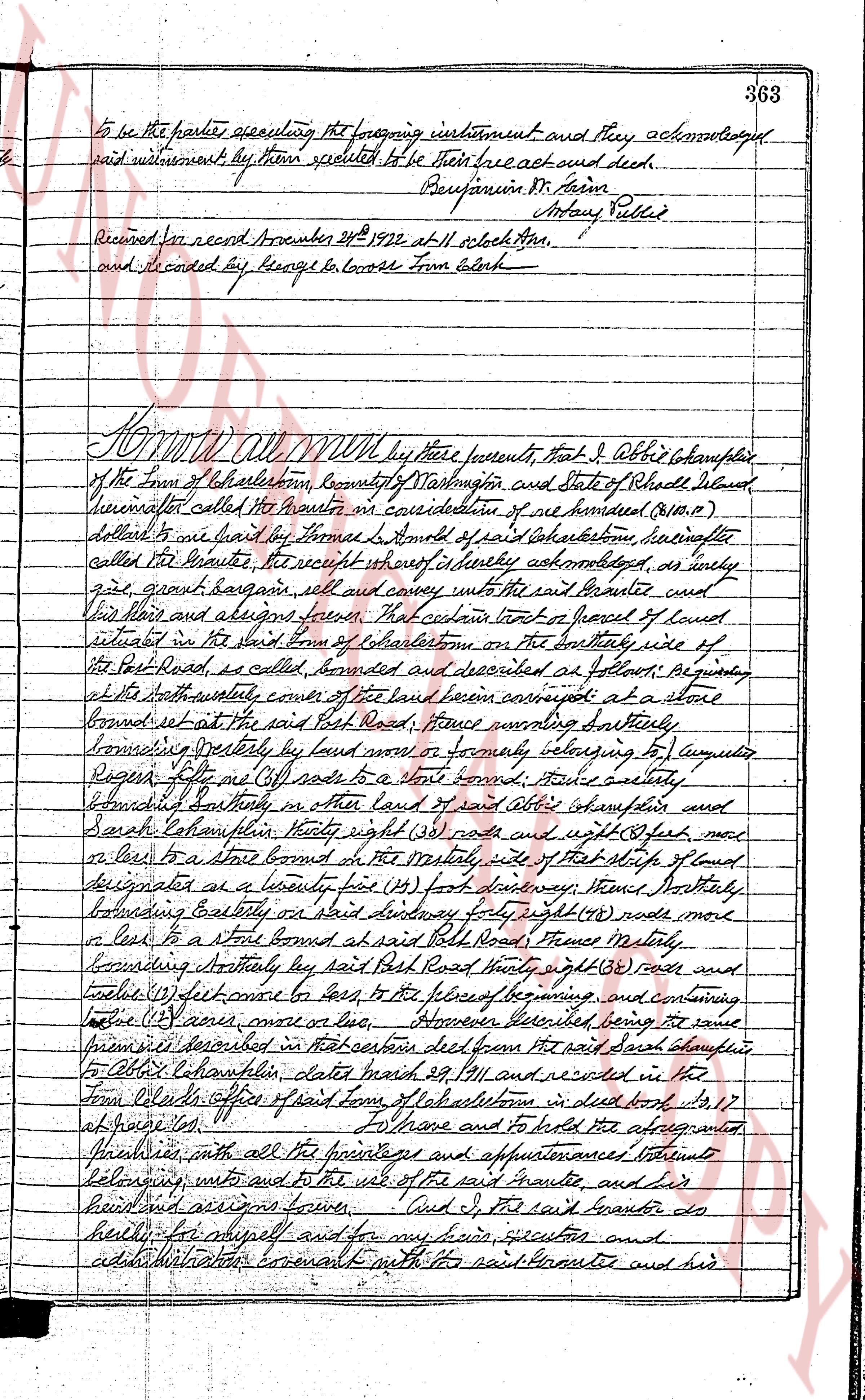
To be the parties appealing the foregoing instrument and they acknowledged
said instrument by them stipulated to be their free act and deed.
Benjamin St. Airn Henry Pilled
Received for record November 21st 1922 at 11 o'clock AM,
and recorded by George W. Coose Town Clerk
Know all men by these presents, that I Obadiah Champlain
of the Town of East Johnston, County of Providence and State of Rhode Island
hereinafter called the Grantor in consideration of one hundred ($100.00)
dollars to me paid by the former Thomas L. Arnold of said East Johnston, hereinafter
called the Grantee, the receipt whereof is hereby acknowledged, as fully
gives, grants, bargains sells and conveys unto the said Grantee and
his heirs and assigns forever, That certain tract of land of land
situated in the said Town of East Johnston on the Southerly side of
the Post Road, as called, bounded and described as follows: Beginning
at the South westerly corner of the land been conveyed at a stone
bound set at the said Post Road; Thence running Northerly
bounding Westerly by land now or formerly belonging to company
Roger R. Ellis etc (see copy) to a stone bound; Thence easterly
bounding Southerly in other land of I said Obadiah Champlain and
Sarah Champlain, thirty eight (38) feet east and eight (8) feet north
to a stone bound at the Northerly side of that strip of land
designated as a twenty five (25) foot driveway; Thence Southerly
bounding Eastly on said driveway forty eight (48) feet north
or west to a stone bound at said Post Road; Thence westerly
bounding Northerly by said Post Road thirty eight (38) feet and
eight (8) feet north to come to the point of beginning, and containing
thirty (30) acres more or less. However limited, being the same
premises described in that certain deed from the said Samuel Champlain
to Obadiah Champlain, date march 29 1911 and recorded in the
Town Clerk office of said town of East Johnston in deed book 10 17
at page 158.
To have and to hold the aforementioned
premises, with all the priviledges and appurtenances thereto
belonging unto and to the use of the said Grantee, and his
heirs and assigns forever. And I, the said Grantor do
hereby for myself and for my heirs, executors and
administrators covenant with the said Grantee and his
The page as recorded