The instrument's own words
page 1 · read by Gemma vision
430
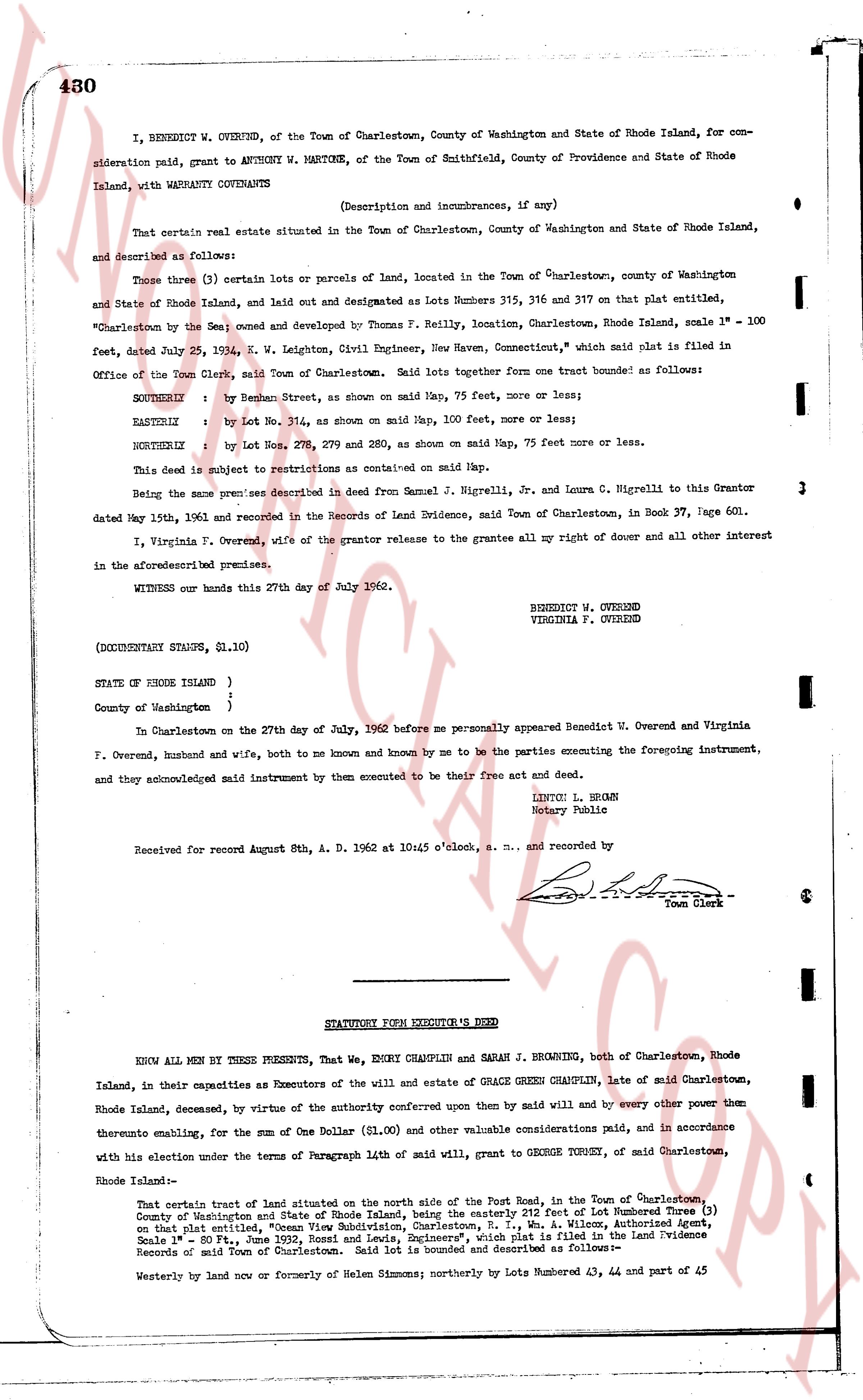
I, BENEDICT W. OVEREND, of the Town of Charlestown, County of Washington and State of Rhode Island, for consideration paid, grant to ANTHONY W. MARTONE, of the Town of Smithfield, County of Providence and State of Rhode Island, with WARRANTY COVENANTS
(Description and incumbrances, if any)
That certain real estate situated in the Town of Charlestown, County of Washington and State of Rhode Island, and described as follows:
Those three (3) certain lots or parcels of land, located in the Town of Charlestown, county of Washington and State of Rhode Island, and laid out and designated as Lots numbers 315, 316 and 317 on that plat entitled, "Charlestown by the Sea" owned and developed by Thomas F. Reilly, location, Charlestown, Rhode Island, scale 1" = 100 feet, dated July 24, 1954, E. W. Leighton, Civil Engineer, New Haven, Connecticut," which said plat is filed in Office of the Town Clerk, said Town of Charlestown. Said lots together form one tract bounded as follows:
SOUTHERLY : by Rehman Street, as shown on said Map, 75 feet more, or more or less;
EASTERLY : by Lot No. 314, as shown on said Map, 100 feet more, or more or less;
NORTHERLY : by Lot Nos. 279, 279 and 280, as shown on said Map, 75 feet more or more or less.
This subject is subject to restrictions as contained on said Map.
Being the same premises described in deed from Samuel J. Nigrelli, Jr. and Laura C. Nigrelli to this Grantor dated May 15th, 1961 and recorded in the Records of Land Evidence, said Town of Charlestown, in Book 37, page 601.
I, Virginia F. Overend, wife of the grantor release to the grantees all my right of dower and all other interest in the aforementioned premises.
WITNESS our hands this 27th day of July 1962.
BENEDICT W. OVEREND
VIRGINIA F. OVEREND
(DOCUMENTARY STAMPS, $1.10)
STATE OF RHODE ISLAND )
County of Washington }
In Charlestown on the 27th day of July, 1962 before me personally appeared Benedict W. Overend and Virginia F. Overend, husband and wife, both to me known and by me to be the parties executing the foregoing instrument, and they acknowledged said instrument by them executed to be their free act and deed.
LINTOU L. BROWN
Notary Public
Received for record August 8th, A. D. 1962 at 10:45 o'clock, a. m., and recorded by
[Signature]
Town Clerk
----
STATUTORY FORM EXECUTOR S DEED
KNOW ALL MEN BY THESE PRESENTS, That We, EMORY CHAMPLIN and SARAH J. BROWNING, both of Charlestown, Rhode Island, in their capacities as Executors of the will and estate of GRACE GREEN CHAMPLIN, late of said Charlestown, Rhode Island, deceased, by virtue of the authority conferred upon them by said will and by every other power then entitling them, for the sum of One Dollar ($1.00) and other valuable considerations paid, and in accordance with his election under the terms of Paragraph 14th of said will, grant to GEORGE TORMEY, of said Charlestown, Rhode Island-
That certain tract of land situated on the north side of the Post Road, in the Town of Charlestown, County of Washington and State of Rhode Island, being the easterly 242 feet of Lot Numbered Three (3) on that plat entitled, "Ocean View Subdivision, Charlestown, R. I.," W. M. Albee, Authorized Agent, Scale 1" = 80 ft., June 30th 1911, said plat being filed in the Land Evidence Records of said Town of Charlestown. Said lot is bounded and described as follows-
Westerly on land now or formerly of Helen Simmons; northerly by Lots Numbered 43, 44 and part of 45
page 2 · read by Gemma vision
431
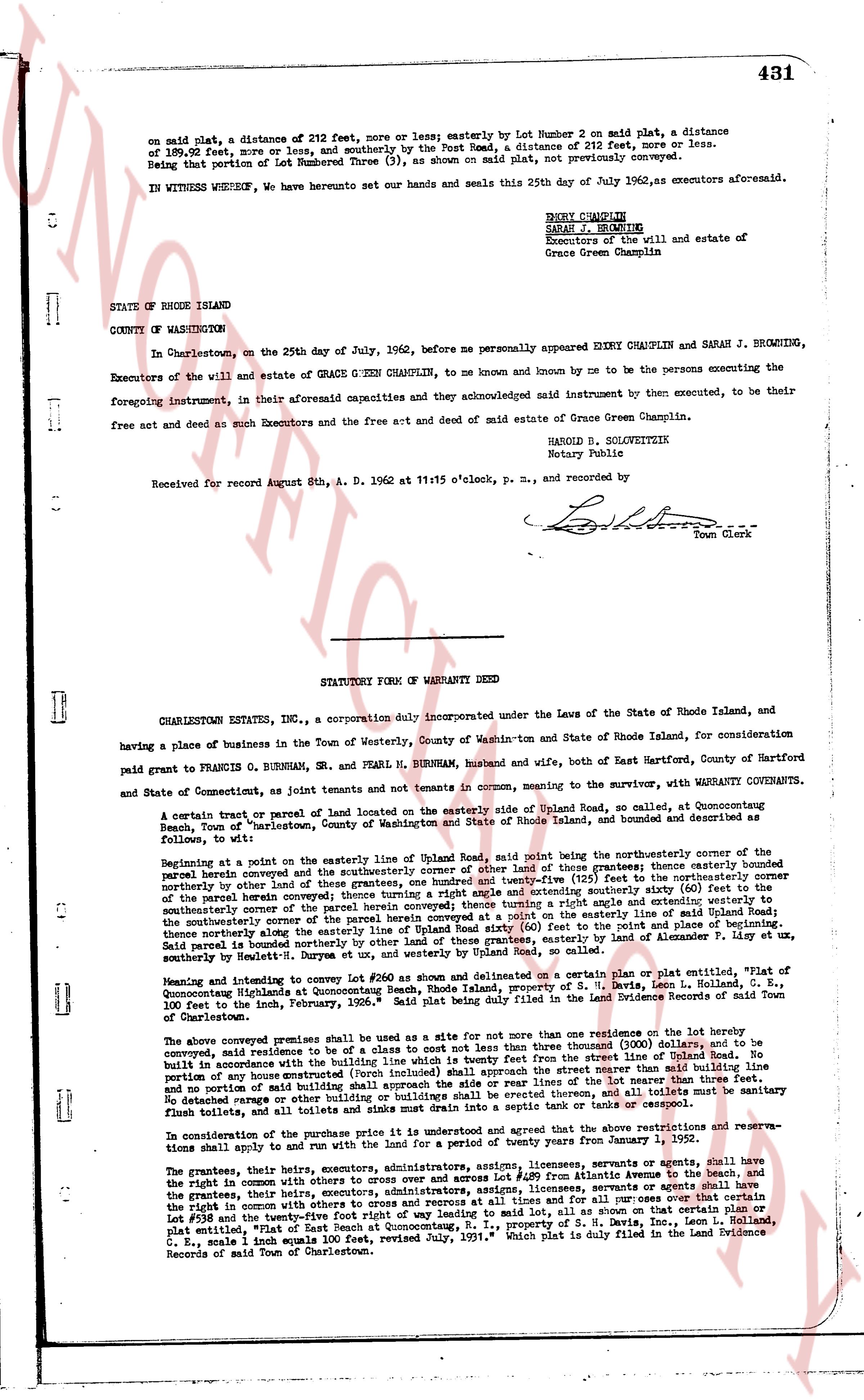
on said plat, a distance of 212 feet, more or less; easterly by Lot Number 2 on said plat, a distance of 189.95 feet, more or less, and southerly by the Post Road, a distance of 212 feet, more or less.
Being that portion of Lot Numbered Three (3), as shown on said plat, not previously conveyed.
IN WITNESS WHEREOF, we have hereunto set our hands and seals this 25th day of July 1962, as executors aforesaid.
EMORY CHAMPLIN
SARAH J. BROWNING
Executors of the will and estate of
Grace Green Champlin
STATE OF RHODE ISLAND
COUNTY OF WASHINGTON
In Charlestown, on the 25th day of July, 1962, before me personally appeared EMORY CHAMPLIN and SARAH J. BROWNING, Executors of the will and estate of GRACE GREEN CHAMPLIN, to me known and known by me to be the persons executing the foregoing instrument, in their aforesaid capacities and they acknowledged said Instrument by them executed, to be their free set and seal and such Executors and the free act and deed of said estate of Grace Green Champlin.
HAROLD B. SOLVEITREITH
Notary Public
Received for record August 8th, A. D. 1962 at 11:15 o'clock, p. m., and recorded by
[Signature]
Town Clerk
----
STATUTORY FORM OF WARRANTY DEED
CHARLESTOWN ESTATES, INC., a corporation duly incorporated under the Laws of the State of Rhode Island, and having a place of business in the Town of Westerly, County of Washington state of Rhode Island, for consideration paid grant to FRANCIS O. BURNHAM, SR. and PEARL H. BURNHAM, husband and wife, both of East Hartford, County of Hartford and State of Connecticut, as joint tenants and not tenants in common, meaning to the survivor, with WARRANTY COVENANTS.
A certain tract or parcel of land located on the easterly side of Updike Road, no called, at Quonocutong Beach, Town of "Charlestown", County of Washington and State of Rhode Island, more or less 1.10 acres, described as follows, to wit:
Beginning at a point on the easterly line of Updike Road, said road being the northeasterly corner of the first parcel herein conveyed and the southeasterly corner of other land of those grantees; thence easterly northeasterly over by other land of those grantees a distance of one hundred and twenty-five (125) feet to the northeasterly corner of the first parcel herein conveyed and thence turning a right angle southwesterly a distance of one hundred and twenty-five (125) feet to the southwesterly corner of the first parcel herein conveyed thence turning a right angle and easterly extending to westerly the southeasterly corner of the first parcel herein conveyed at a point on the easterly line of Updike Road, a distance of one hundred and twenty-five (125) feet from the first point of place of beginning. Thence said parcel is bounded northerly by other land of those grantees, easterly by land of Alexander P. Lizer, et ux, southerly by Updike Road and westerly by other land of those grantees.
Meaning and intending to convey to grantees lot #50 as shown and delineated on a certain plan or plat entitled, "Plat of Quonocutong Highlands at Quonocutong Beach, Rhode Island, property of S. V. Lewis, Levi H. Halland, C. C., Quonocutong Highlands at Quonocutong Beach, Rhode Island, property of S. V. Lewis, Levi H. Halland, C. C., Quonocutong Highlands at Quonocutong Beach, Rhode Island, property of S. V. Lewis, Levi H. Halland, C. C., 100 feet to the inch, February, 1906." Said plat being duly filed in the Land Evidence Records of the Town of Charlestown.
The above conveyed premises shall be used as a site for the purpose of erecting one residence on the lot and hereon conveyed, said residence to be of a class not cost less than three thousand dollars ($3000), and to be built with its foundations in concrete from the street line of Updike Road. We do further covenant that no portion of any house structure (porch included) shall approach the street line of Updike Road within a distance of 30 feet and no portion of any house structure (porch included) shall approach the side line of the lot nor nearer than three feet. No detached garage or other building or buildings shall be erected thereon, and all toilets must be sanitary flush bowls, and all toilets must be located at least 20 feet from any property line.
In consideration of the purchase price it is understood and the grant agrees that the above restrictions and reservations shall apply to and run with the land for a period of twenty years from January 1, 1952.
The grantees, their heirs, executors, administrators, assignees, licensees, servants or agents shall have the right and in common with others having the same right, free and unobstructed access to Quonocutong beach, and the grantees, their heirs, executors, administrators, assignees, licensees, servants or agents shall have the right in common with others to cross and re-cross and use the roads and paths of the grantor, and specifically Lot #59 and number 59-A, as shown and delineated, according to said lot, all as shown on that certain plan or plat entitled, "Plat of East Beach at Quonocutong, R. I., property of S. H. Davis, Inc., revised July, 1931," Scale 1 inch equals 100 feet revised July, 1931." Which plat is duly filed in the Land Evidence Records of said Town of Charlestown.
The page as recorded