The instrument's own words
page 1
176 Know all men by these presents that I, Emma R.
Brown of the City and County of Providence State of Rhode Island
in consideration of the sum of ten dollars and other valuable
considerations to me paid by the William Ludlow Co. Ltd. of the
City and County of Providence State of Rhode Island, the receipt
whereof is hereby acknowledged do hereby remise, release and
forever quitclaim unto the said William Ludlow Co. Ltd.
its successors and assigns forever, all the right title interest
property claims and allemost which I have had or ever had or
ought to have or claim in and to a certain lot of land located
situated at Dumfounding Beach in said town of Pawtucket
and bounded and described as follows, beginning at the
Southwest corner of this tract she a rock built stone hole
in it at an angle right with the ground, thence Easterly bounding
Southerly the said lot thirty feet to a stone post found thence
Northerly the said bounding Easterly by land of theater to distance
and forty feet east on a lot she a stone post thence Westerly
bounding Northerly by land of Grantor thirty five feet to
the corner of the wall which is a culmination of this tract
line thence Southerly bounding Westerly by land of lault of
Bridges to the place of beginning Quarterly onto said Grantee
to successors and assigns to consent the right of wayage
access land of the Grantor from the highway and way leading
to the Moore college to a front near the North east corner of
this tract the said Grantee to successors and assigns is
to make and maintain all line fences necessary between
land hereby conveyed and land of Grantor the said
Grantee to use said premises for residential purposes
only I claim and to hold the same with
all the rights privileges and appurtenances thereto
appertaining unto said and to the use of it the said William
Ludlow Co. Ltd. its successor and assign forever And I
the aforementioned Emma R. Brown for myself and for my
heirs executors and administrators do covenant with the
said William Ludlow Co. Ltd. its successors and assigns
that I will warrant and defend the aforesaid premises
unto the said William Ludlow Co. Ltd. its successor and
assigns forever against the lawful claims and demands
of all persons claiming by strength or under me and I
covenant that I am Seised
In her testimony whereof I have hereunto set my hand
and seal this 5th day of November in the year of our lord
one thousand nine hundred and twenty one
page 2
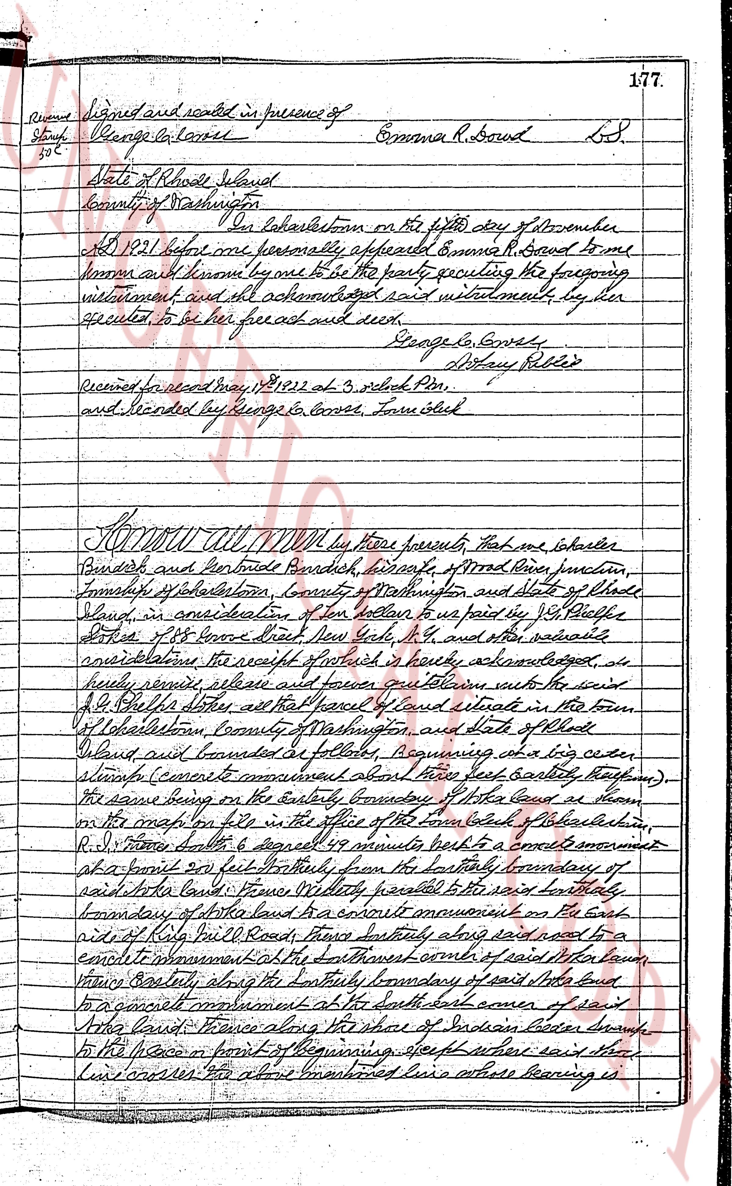
Signed and sealed in presence of
George L. Converse
Emma R. Bowd L.S.
State of Rhode Island
County of Washington
ss.
On Lakestown on the fifth day of November
A D 1821 before me personally appeared Emma R. Bowd to me
known and known by me to be the party executing the foregoing
instrument and all acknowledged said instrument, by her
executed to be her free act and deed.
George L. Converse
Notary Public
Received for record May 18, 1822 at 3 o'clock P.M.
and recorded by George L. Converse, Town Clerk
KNOW ALL MEN by these presents, that we Isham
Bendish and Gertrude Bendish, inhabitants of Wood River junction,
Township of Lakestown, County of Washington and State of Rhode
Island, in consideration of ten dollars to paid by J. S. Phillips
of 88 Essex street New York, N.Y. and other valuable
consideration, the receipt of which is hereby acknowledged, do
hereby remise, release and forever convey and confirm unto the said
J. S. Phillips that certain piece of land situate in the town
of Lakestown, County of Washington, and State of Rhode
Island and bounded as follows: Beginning with a big cedar
stump (correctly mentioned about three feet easterly thereon)
the same being on the easterly boundary of that land as shown
in the map on file in the office of the town clerk of Lakestown
R.I. thence southerly 64 degrees 59 minutes north to a corner monument
at a point 231 feet westerly from the southerly boundary of
said lots land; thence westerly parallel to the said southerly
boundary of the said land to a corner monument on the East
side of Role Mill Road; thence southerly along said road to a
corner monument at the south east corner of said lot then
varying easterly along the southerly boundary of said lots land
to a corner monument at the south east corner of said
lots land; thence along the shore of Indian Lake branch
to the place or point of the beginning, except where said stream
crosses the above mentioned line whose bearing is
The page as recorded