The instrument's own words
page 1 · read by Gemma vision
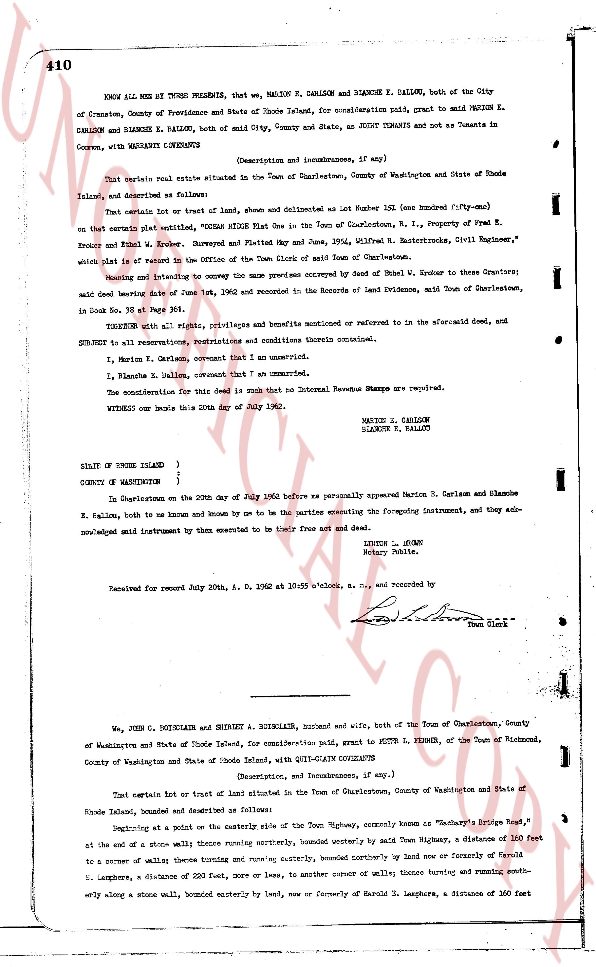
410
KNOW ALL MEN BY THESE PRESENTS, that we, MARION E. CARLSON and BLANCHE E. BALLOU, both of the City of Cranston, County of Providence and State of Rhode Island, for consideration paid, grant to said MARION E. CARLSON and BLANCHE E. BALLOU, both of said City, County and State, as JOINT TENANTS and not as Tenants in Common, with WARRANTY COVENANTS
(Description and incumbrances, if any)
That certain real estate situated in the Town of Charlestown, County of Washington and State of Rhode Island, and described as follows:
That certain lot or tract of land, show n and delineated as Lot Number 151 (one hundred fifty-one) on that certain plat entitled "OCEAN RIDGE PLAT One in the Town of Charlestown, R. I., Property of Fred E. Kroker and Ethel W. Kroker, Surveyed and Platted May and June, 1936, Wilfred R. Easterbrooks, Civil Engineer," which plat is of record in the Office of the Town Clerk of said Town of Charlestown.
Meaning and intending to convey the same premises conveyed by deed of Ethel W. Kroker to their Grantors; said deed bearing date of June 1st, 1962 and recorded in the Records of Land Evidence, said Town of Charlestown, in Book No. 38 at Page 361.
TOGETHER with all rights, privileges and benefits mentioned or referred to in the aforesaid deed, and SUBJECT to all reservations, restrictions and conditions therein contained.
I, Marion E. Carlson, covenant that I am unmarried.
I, Blanche E. Ballou, covenant that I am unmarried.
The consideration for this deed is such that no Internal Revenue Stamps are required.
WITNESS our hands this 20th day of July 1962.
MARION E. CARLSON
BLANCHE E. BALLOU
STATE OF RHODE ISLAND )
)
COUNTY OF WASHINGTON )
In Charlestown on the 20th day of July 1962 before me personally appeared Marion E. Carlson and Blanche E. Ballou, both to me known and by me known and by me to be the parties executing the foregoing instrument, and they acknowledged said instrument by them executed to be their free act and deed.
LINTON L. BROWN
Notary Public.
Received for record July 20th, A. D. 1962 at 10:55 o'clock, a. m., and recorded by [signature]
Town Clerk
----
We, JOHN C. BOISCLAIR and SHIRLEY A. BOISCLAIR, husband and wife, both of the Town of Charlestown, County of Washington and State of Rhode Island, for consideration paid, grant to PETER L. FENNER, of the Town of Richmond, County of Washington and State of Rhode Island, with QUIT-CLAIM COVENANTS
(Description, and Incumbrances, if any.)
That certain lot or tract of land situated in the Town of Charlestown, County of Washington and State of Rhode Island land, bounded and described as follows:
Beginning at a point on the easterly side of the Town Highway, commonly known as "Zachary's Bridge Road," at the end of a stone wall; thence running northerly, bounded westerly by said Town Highway, a distance of 160 feet to a corner of walls; thence turning and running easterly, bounded northerly by land now or formerly of Harold E. Lamphere, a distance of 220 feet, or more or less, to another corner of walls; thence turning and running southerly along a stone wall, bounded easterly by land, now or formerly of Harold E. Lamphere, a distance of 160 feet
The page as recorded