The instrument's own words
page 1 · read by Gemma vision
407
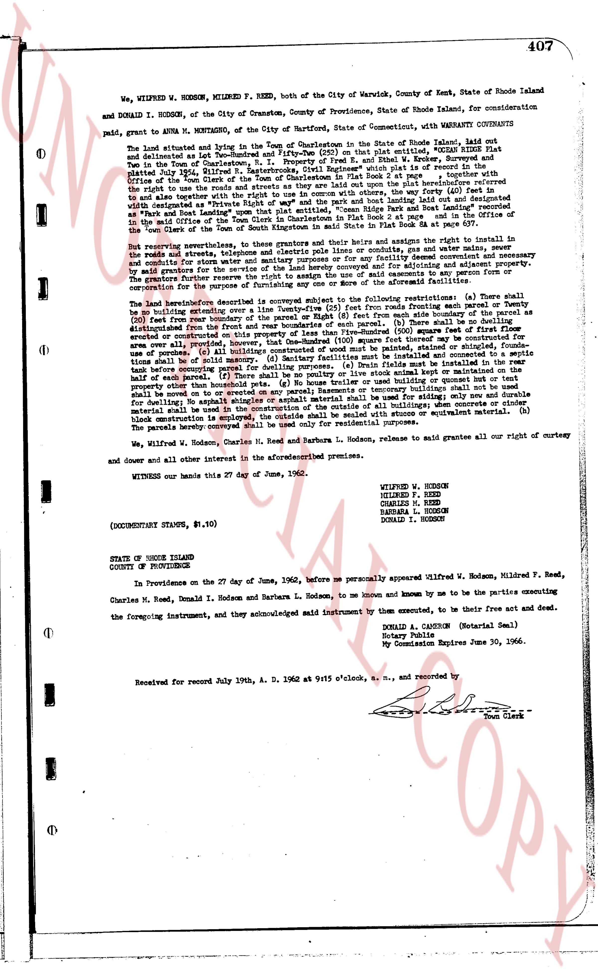
We, WILFRED W. HODSON, MILDRED F. REED, both of the City of Warwick, County of Kent, State of Rhode Island
and DONALD I. HODSON, of the City of Cranston, County of Providence, State of Rhode Island, for consideration
paid, grant to ANNA M. MONTAGNO, of the City of Hartford, State of Connecticut, with WARRANTY CONVEYANCE
The land situated and lying in the Town of Charlestown in the State of Rhode Island, laid out
and delineated on Lot Plan of "The Pines" at Charlestown, Rhode Island, entitled "OCEAN RIDGE PLAT"
filed in the Town of Charlestown, R. I. Property of Fred E. and Ethel W. Brewer, Surveyor and
platted July 24, 1936, in the Town Clerk's Office of the Town of Charlestown in Book 2 Plat page 2 together with
the right to use the roads and streets of said plat, and the right to use the path leading east from the said plat
and to use together with the right to use in common with others, the way (forty (40) feet in
width) designated as "Private Right of Way" and marked "Private Right of Way" leading east from the
"Pines" to East Beach leading to the Atlantic Ocean, "Ocean Ridge Pine Park and Boat Road" referenced
in the said Office of the Town Clerk of Charlestown in Book 2 Plat page 2 and further referenced
in the said Office of the Town Clerk of Charlestown in Book 54 Plat page 83 et seq.
over the right of way of the Pines.
But reserving nevertheless, to these grantors and their heirs and assigns the right to install in
the roads and streets, telephone and electric poles and cornice conduits, gas and water mains and sewer
and conduits for steam, water, gas, electricity, telephone, telegraph and other utilities as may be necessary
by grantors for the service of the land hereby conveyed and for advancing and adjoining property.
The grantor reserves the right to use the roads and streets of said plat exclusively to the extent of the
corporation for the purposes of farming any one or more of the aforementioned facilities.
The land hereinafter described is conveyed subject to the following restrictions: (a) There shall
be no building extended over the boundary lines of the lot. (b) No structure shall be erected or Twenty
(20) feet from the rear boundary of the parcel or Eight (8) feet from each side boundary of the parcel as
distinguished from the front and rear boundaries of the parcel. (c) The total area of the first floor
elevated or constructed on piers shall not exceed Five-Hundred (500) square feet of first floor
area over all provided, however, that One-Hundred (100) square feet of first floor area may be used for
use of a porch. (d) All buildings shall be painted, stained or stuccoed, shingles found-
ations shall be of solid masonry. (e) Sanitary facilities must be installed in the rear half of the
parcel. (f) There shall be no poultry or live stock animal kept or maintained in the
property except that there shall be allowed one (1) dog. (g) No building shall be erected nor but tent
shall be moved or on to erect any pavement Basements or temporary buildings shall not be used
for dwelling. (h) No asphalt shingles shall be used for roofing. Only durable
material shall be used in the construction of the outside of all buildings; when concrete or cinder
block construction is employed, it shall be painted, stuccoed or equivalent material. (b)
The parcels hereby conveyed shall be used only for residential purposes.
We, Wilfred W. Hodson, Charles M. Reed and Barbara L. Hodson, release to said grantee all our right of curtesy
and dower and all other interest in the aforementioned premises.
WITNESS our hands this 27 day of June, 1962.
WILFRED W. HODSON
MILDRED F. REED
CHARLES M. REED
BARBARA L. HODSON
DONALD I. HODSON
(DOCUMENTARY STAMPS, $.10)
STATE OF RHODE ISLAND
COUNTY OF PROVIDENCE
In Providence on the 27 day of June, 1962, before me personally appeared Wilfred W. Hodson, Mildred F. Reed,
Charles M. Reed, Donald I. Hodson and Barbara L. Hodson, to me known and known by me to be the parties executing
the foregoing instrument, and they acknowledged said instrument by them to be their free act and deed.
DONALD A. CAMERON (Notarial Seal)
Notary Public
My Commission Expires June 30, 1966.
Received for record July 19th, A. D. 1962 at 9:15 o'clock, a. m., and recorded by
Town Clerk
The page as recorded