The instrument's own words
page 1
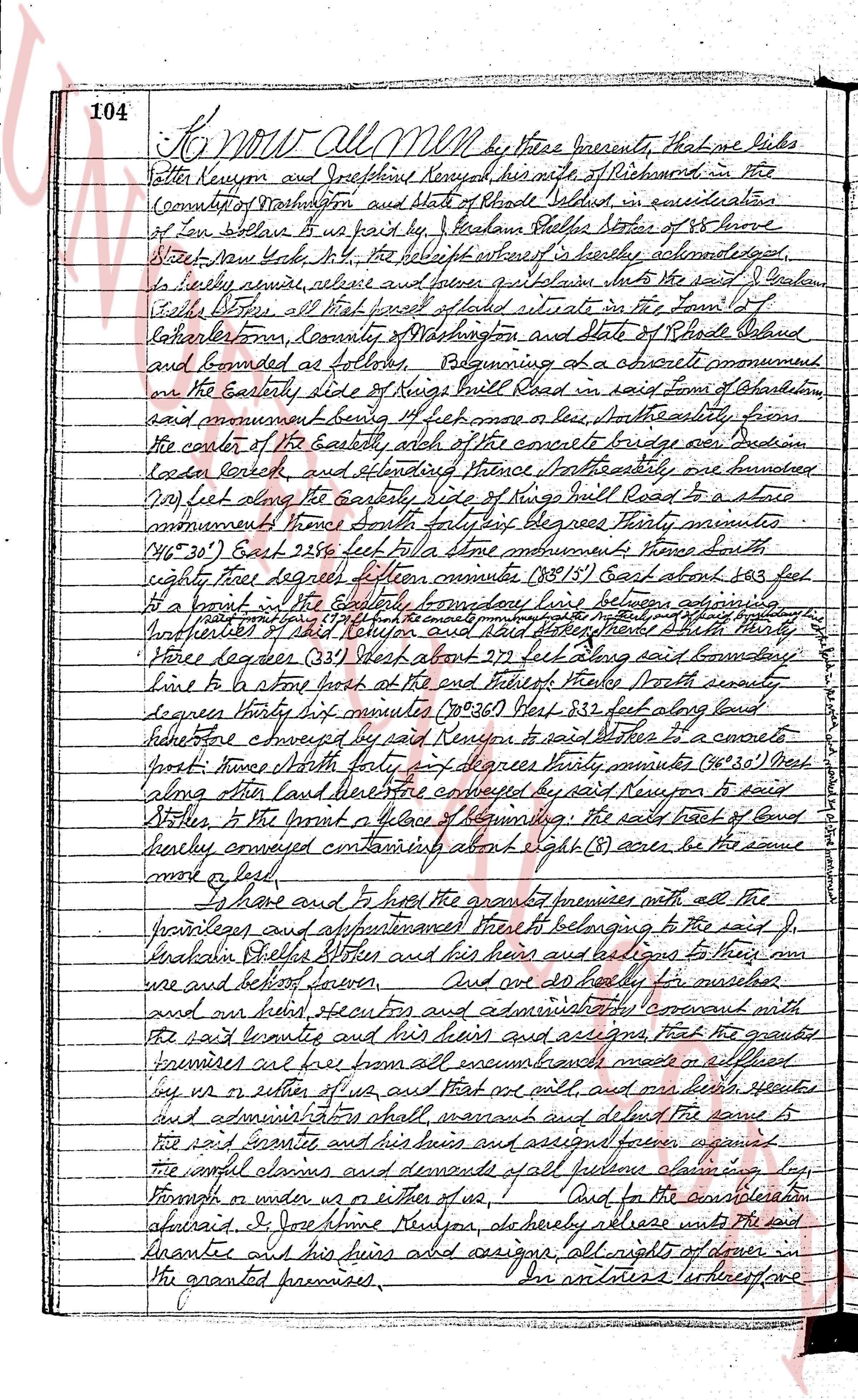
102 Know all MEN by these presents, that I, J. John
Adkins of the Town of Richmond County of Washington in the State
of Rhode Island, in consideration of the sum of one thousand dollars due
after good and valuable consideration to me paid by G. Phillip
Stoker of the City of New York County of NY and State of New
York, the receipt whereof is hereby acknowledged said G. hereby
conveys, release and forever grants and lets unto the said G. Phillip
Stoker his heirs and assigns forever, all the
right title interest property claim and demand which I draw
have or of right ought to have or claim in and to a certain
lot or tract of land situated in the Town of Richmond, County
of Washington and State of Rhode Island which contains by
estimation twenty five (25) acres or the same more or less and
is bounded and described as follows beginning at a corner
monument a rock at the edge of cedar swamp and
at the boundary line between land of said John Adkins and
land of George D. Beckham paid him being the line described
in the old deed from Joseph Reynolds to John Whitford (1820 1830)
and described as following South 34 degrees West and about
four hundred and forty one (441) feet from the corner of the
well at the center of a road line, and from thence by a line
running westerly thirty one (31) rods to a bound, bounded
northerly on lots 12 14 map Indian Reservation border branch,
from thence by a line running southerly one hundred and
four (104) rods along a line described in the old deed Samuel
Brabrook to Benjamin Whitford (Add 1815) as running North three
(3) degrees West to a bound, bounded westerly on lots 10 13 and
to the map Indian Reservation border boundary, from thence by
a line running easterly forty one (41) rods to a bound at the
southeast corner of the twenty (20) are described in the old
deed (A.D. 1813) bounded southerly on lot 15 map Indian
Reservation border boundary, from thence running easterly along
line described in the old deed Joseph Reynolds to John Whitford
(A.D. 1833) as running North 78 degrees East to a corner monument
a bound which is about one hundred and forty seven and one
half (147 1/2) rods westerly from the south end stone wall or bound
of John P. Case and bound at a corner at the northwest corner
of Anthony Low as shown on map Indian Reservation border boundary,
bounded southerly on lot 14 15 Indian Reservation border boundary
and from thence running in a straight line southerly to the
first corner monument and found and at the boundary
line between land of said John Adkins and land of said
George D. Beckham and bounded easterly by land of said
page 2
103.
John Hopkins. It is agreed that the said John Hopkins, his heirs and assigns
shall build and maintain the northern half of the boundary fence and that
said Matthew Stokes, his heirs and assigns the southern half.
To have and to hold the same, with all the rights, privileges and
appurtenances thereunto appertaining unto and to the use of said the
said J. B. Stokes his heirs and assigns forever. And I the
said [illegible] John Hopkins for myself and for my heirs, executors and
administrators do covenant with the said Matthew Stokes his heirs
and assigns, that I shall warrant and defend the aforesaid premises
unto the said J. B. Stokes his heirs and assigns forever, against the
lawful claims and demands of all persons claiming by, through
or under me. And I aforesaid Matthew Hopkins will by the seal
John Hopkins in consideration of the sum named as aforesaid do hereby
release and forever quitclaim unto the said J. B. Stokes his heirs
heirs and assigns, all my right of dower in and to the afore-
foresaid premises.
In testimony whereof we have hereunto set our hands and
seals this 20 day of March next in the year of our lord one thousand
eight hundred and twenty two.
Signed Sealed and delivered in presence of
[Signature] Harold D. Severington
Ernest Barnes
[Signature] John Hopkins L.S.
[Signature] Hannah M. Hopkins L.S.
I the owner of the property known as Anthony Sand agree that
the concrete monuments mentioned in this deed shall locate the N.Y.
corners of Anthony Sand
Witness:
Barston Lewishande
Caroline Station
[Signature] Julia E. Davis
[Signature] Edward L. Davis (Son)
[Signature] George D. Davis (Son)
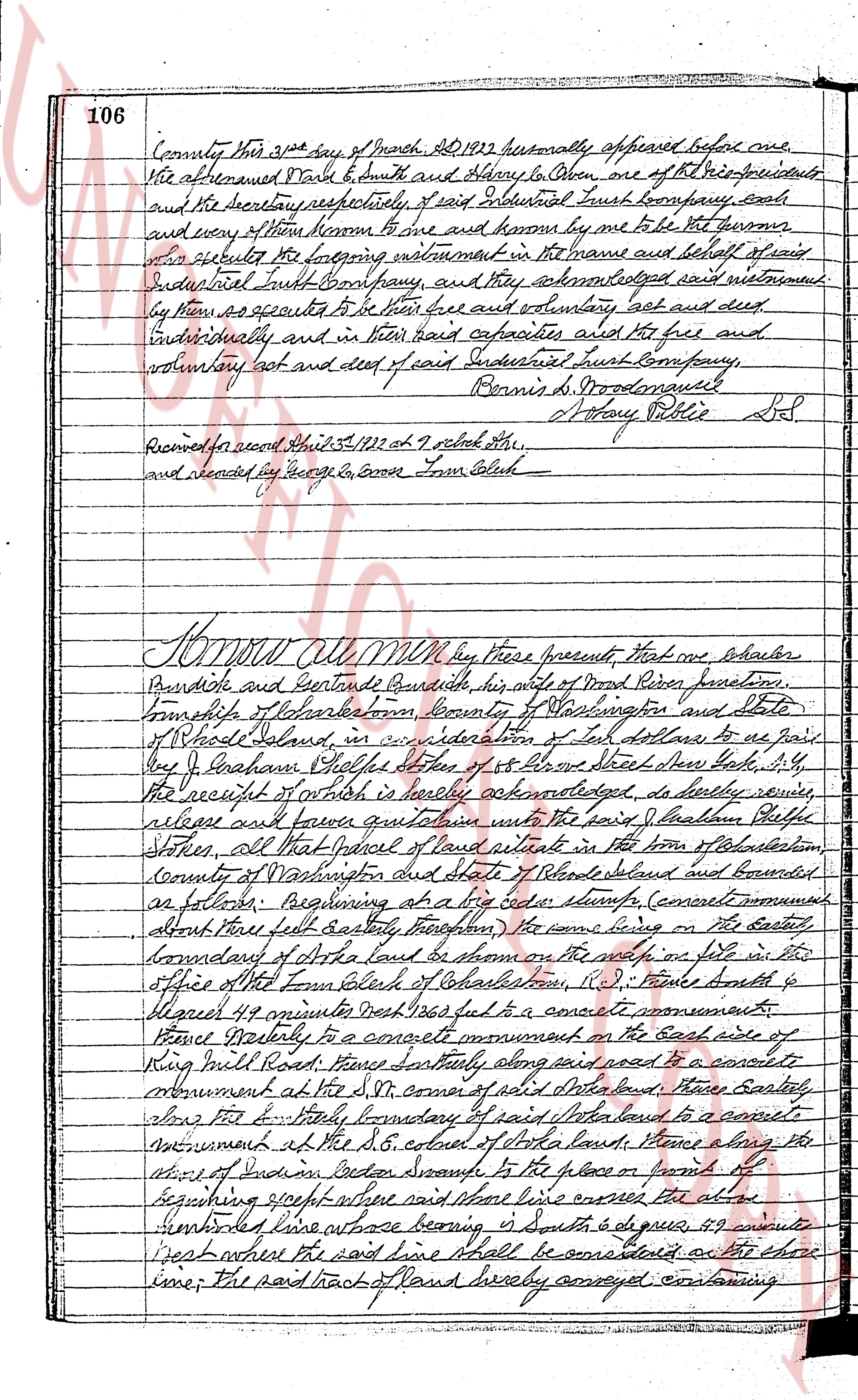
State of Rhode Island
County of Washington
On this Tuesday, R.I. on the twentieth day of march
1922 Ad 1922 before me personally appeared John Hopkins and
Hannah M. Hopkins to me known, and known by me to be the
parties executing the foregoing instrument and they acknowledge
said instrument by them signed to be their free act and deed.
[Signature] Harold D. Severington
[Signature] Sotheby Public L.S.
Received for record March 23, 1922 at 2:15 o'clock P.M.
and recorded by George H. Corres Town Clerk
The page as recorded