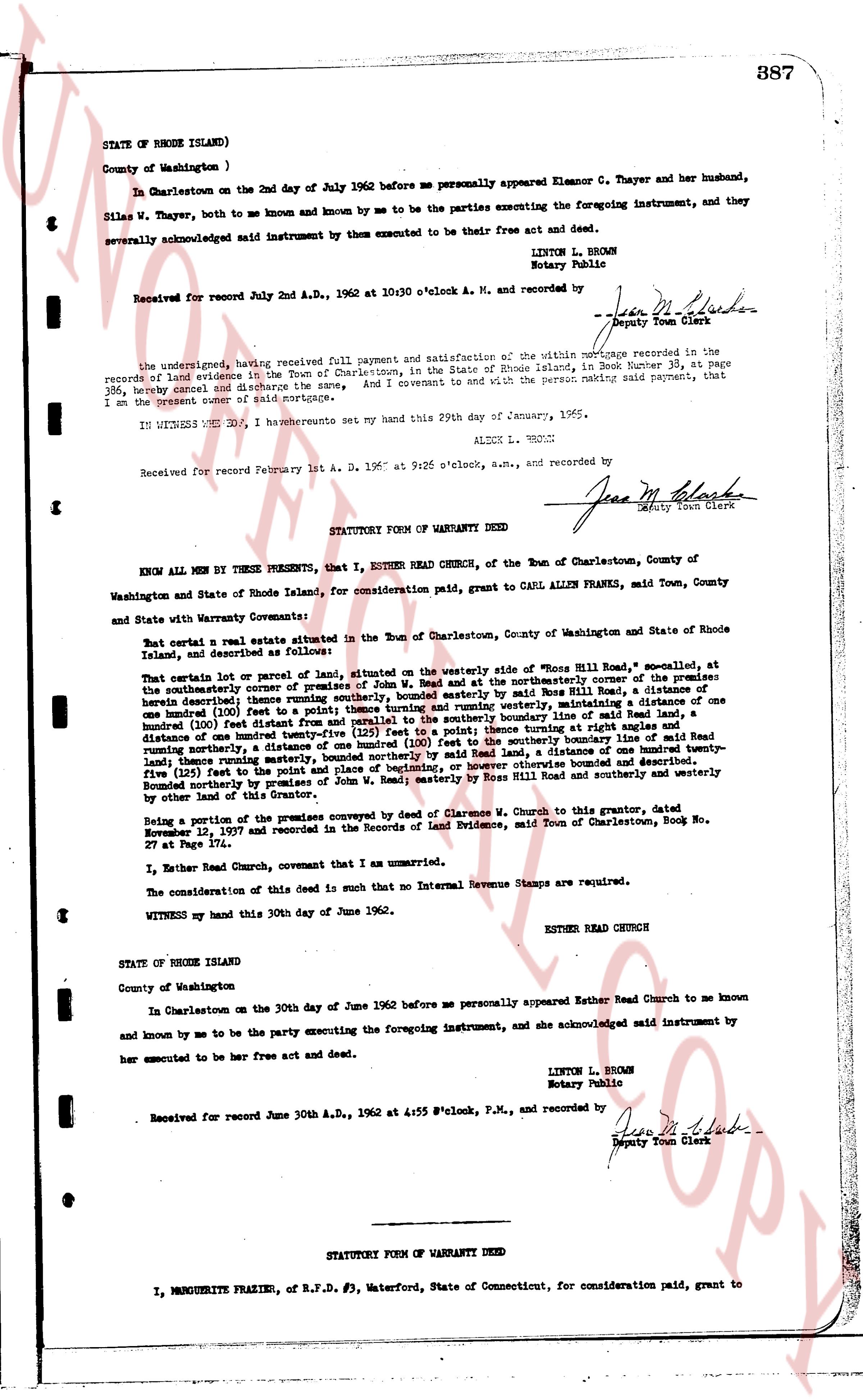
The instrument's own words
page 1 · read by Gemma vision
387
STATE OF RHODE ISLAND)
County of Washington )
In Charlestown on the 2nd day of July 1962 before me personally appeared Eleanor C. Thayer and her husband,
Siles W. Thayer, both to me known and known by me to be persons the parties executing the foregoing instrument, and they
severally acknowledged said instrument by them executed to be their free act and deed.
LINTON L. BROWN
Notary Public
Received for record July 2nd A.D., 1962 at 10:30 o'clock A. M., and recorded by
[Signature]
Deputy Town Clerk
----
The undersigned, having received full payment and satisfaction of the mortgage recorded in the records of land evidence in the Town of Charlestown, in the State of Rhode Island, in Book Number 38, at page
386, hereby cancel and discharge the same, And I covenant to and with the present paying said payment, that
I am the present owner of said mortgage.
IN WITNESS WHEREOF, I have hereunto set my hand this 29th day of January, 1965.
ALECK L. BROWN
Received for record February 1st A. D. 1965 at 9:26 o'clock a.m., and recorded by
[Signature]
Deputy Town Clerk
----
STATUTORY FORM OF WARRANTY DEED
KNOW ALL MEN BY THESE PRESENTS, That I, ESTHER REED CHURCH, of the Town of Charlestown, County of
Washington and State of Rhode Island, for consideration paid, grant to CARL ALLEN FRANKEL, said Town, County
and State with Warranty Covenants:
But certain a real estate situated in the Town of Charlestown, County of Washington and State of Rhode Island, and described as follows:
That certain lot or parcel of land, situated on the westerly side of "Boss Hill Road", so named, located at
the southeasterly corner of premises of John W. Mead and at the northeasterly corner of the premises
owned by [?] and [?] and bounded on the easterly by Boss Hill Road, a measurement of a distance one
hundred (100) feet thence running southerly, bounded on the southerly by premises of John W. Mead, maintaining a distance of one
hundred (100) feet then running westerly and running westerly maintaining a distance of one
hundred (100) feet distance from that and running parallel to the southerly boundary line of said land,
distance of one hundred (100) feet then running northerly turning at right angle maintaining a
distance of one hundred (100) feet, a distance of one hundred (100) feet to the southerly boundary line of said
land, thence running westerly maintaining a distance of one hundred (100) feet, a distance of one hundred (100)
feet to the point of beginning, or however otherwise bounded and described.
Bounded northerly by premises of Ross Hill Road, easterly by Boss Hill Road southerly and westerly by
other lands of the Grantor, as described above.
Being a portion of the premises conveyed by deed of Clarence W. Church to this grantor, dated
November 12, 1977 and recorded in the Records of Land Evidence, said Town of Charlestown, Book No.
27 at Page 174.
I, Esther Reed Church, covenant that I am unmarried.
The consideration of this deed is such that no Internal Revenue Stamps are required.
WITNESS my hand this 30th day of June 1962.
ESTHER REED CHURCH
STATE OF RHODE ISLAND
County of Washington
In Charlestown on the 30th day of June 1962 before me personally appeared Esther Reed Church to me known
and known by me to be the party executing the foregoing instrument, and she acknowledged said instrument by
her execution to be her free act and deed.
LINTON L. BROWN
Notary Public
Received for record June 30th A.D., 1962 at 4:55 o'clock, P.M., and recorded by
[Signature]
Deputy Town Clerk
----
STATUTORY FORM OF WARRANTY DEED
I, MARGUERITE FRAZIER, of R.F.D. #3, Waterford, State of Connecticut, for consideration paid, grant to
The page as recorded