The instrument's own words
page 1 · read by Gemma vision
350
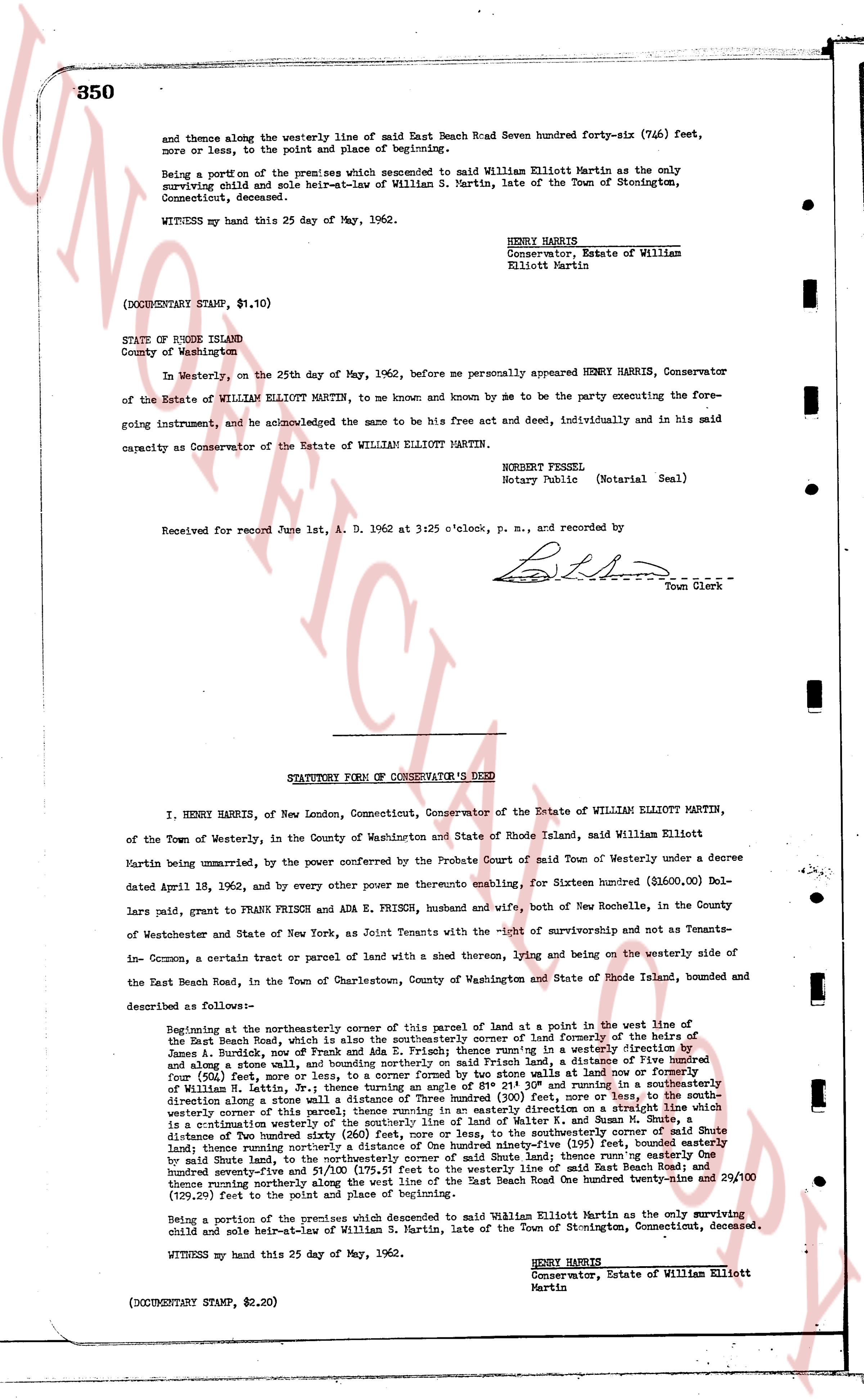
and thence along the westerly line of said East Beach Road Seven hundred forty-six (746) feet, more or less, to the point and place of beginning.
Being a portion of the premises which descended to said William Elliott Martin as the only surviving child and sole heir-at-law of William S. Martin, late of the Town of Stonington, Connecticut, deceased.
WITNESS my hand this 25 day of May, 1962.
HENRY HARRIS
Conservator, Estate of William
Elliott Martin
(DOCUMENTARY STAMP, $1.10)
STATE OF RHODE ISLAND
County of Washington
In Westerly, on the 25th day of May, 1962, before me personally appeared HENRY HARRIS, Conservator of the Estate of WILLIAM ELLIOTT MARTIN, to me known and known by me to be the party executing the foregoing instrument, and he acknowledged the same to be his free act and deed, individually and in his said capacity as Conservator of the Estate of WILLIAM ELLIOTT MARTIN.
BORGET FRESSEL
Notary Public (Notarial Seal)
Received for record June 1st, A. D. 1962 at 3:25 o'clock, p. m., and recorded by
[Signature]
Town Clerk
----
STATUTORY FORM OF CONSERVATOR'S DEED
I, HENRY HARRIS, of New London, Connecticut, Conservator of the Estate of WILLIAM ELLIOTT MARTIN, of the Town of Westerly, in the County of Washington and State of Rhode Island, said William Elliott Martin being unmarried, by the power conferred by the Probate Court of said Town of Westerly under a decree dated April 18, 1962, and by every other power thereunto enabling, for Sixteen hundred ($1600.00) Dollars paid, grant to FRANK FRISCH and ADA E. FRISCH, husband and wife, both of New Rochelle, in the County of Westchester and State of New York, as Joint Tenants with the right of survivorship and not as Tenants-in-Common, a certain tract or parcel of land with a shed thereon, lying and being on the westerly side of the East Beach Road, in the Town of Charlestown, County of Washington and State of Rhode Island, bounded and described as follows:
Beginning at the northeasterly corner of this parcel of land at a point in the west line of the East Beach Road, which is also the southeasterly corner of land formerly of the heirs of James A. Burdock, now of Frank Frisch and Ada E. Frisch, running in a southeasterly direction and along a stone wall, thence running, bounding northerly said Frisch land, a Distance of Five hundred four (504) feet, more or less, to a stone wall formed by two stone walls at land now or formerly of William R. Eaton, Jr. thence running in a westerly direction three hundred seventy-four (374) feet, running in a direction along a stone wall to a distance of Three hundred (300) feet, more or less, to the southwesterly corner of this parcel of land, thence running in a northerly direction via a straight line which is a continuation westerly of the southerly line of land of Walter L. Kaman and Susan M. Gulte, distance of two hundred ninety-four (294) feet, to a stone wall, and thence running in a southeasterly direction running northerly a distance of One hundred ninety-five (195) feet, bounden easterly by said Gulte land, to the northeast corner of this parcel of land, thence running in a southeasterly direction seventy-five and 57/100 (75.57) feet to the westerly line of said East Beach Road and thence running northerly along the west line of the said East Beach Road One hundred twenty-nine and 20/100 (129.20) feet to the point of beginning.
Being a portion of the premises which descended to said William Elliott Martin as the only surviving child and sole heir-at-law of William S. Martin, late of the Town of Stonington, Connecticut, deceased.
WITNESS my hand this 25 day of May, 1962.
HENRY HARRIS
Conservator, Estate of William Elliott Martin
(DOCUMENTARY STAMP, $2.20)
page 2 · read by Gemma vision
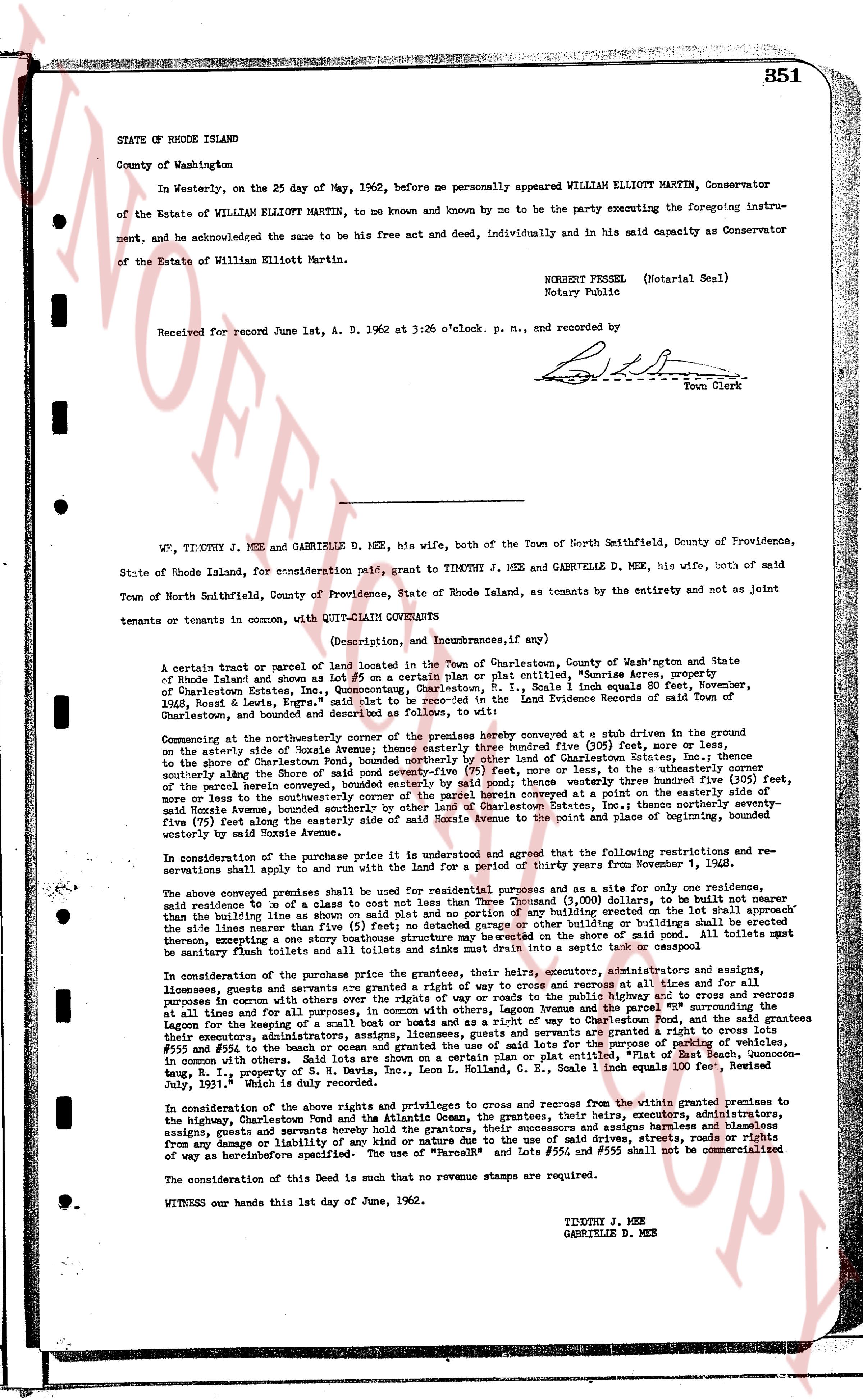
STATE OF RHODE ISLAND
County of Washington
In Westerly, on the 25 day of May, 1962, before me personally appeared WILLIAM ELLIOTT MARTIN, Conservator of the Estate of WILLIAM ELLIOTT MARTIN, to me known and known by me to be the party executing the foregoing instrument, and acknowledged the same to be his free act and deed, individually and in his capacity as Conservator of the Estate of William Elliott Martin.
ROBERT FESSEL (Notarial Seal)
Notary Public
Received for record June 1st, A. D. 1962 at 3:26 o'clock p. m., and recorded by
[Signature]
Town Clerk
----
WM. TIMOTHY J. MEE and GABRIELLE D. MEE, his wife, both of the Town of North Smithfield, County of Providence, State of Rhode Island, for consideration paid, grant to TIMOTHY J. MEE and GABRIELLE D. MEE, his wife, both of said Town of North Smithfield, County of Providence, State of Rhode Island, as tenants by the entirety and not as joint tenants or tenants in common, with QUIT CLAIM COVENANTS
(Description, and Incumbrances, if any)
A certain tract or parcel of land located in the Town of Charlestown, County of Washington State of Rhode Island and shown as Lot #5 on a certain plan or plat entitled "Shoreline Acres," of Charlestown Plat Book One, Charlestown, R.I., said lot containing one equal 50 acres dated November, 1936, Ross & Lewis, Engrs. said lot to be searched in the Land Evidence Records of said Town of Charlestown, and bounded and described as follows, to wit:
Commencing at the northeasterly corner of said lot #5 which is marked by a concrete stub at a given distance from the easterly side of Rhode Island avenue thence easterly three hundred five (305) feet, more or less, and thence southerly along the easterly line of the aforementioned Shoreline Acres to a point on the southerly line of the Charlestown Pond, bounded northerly by land of the Corporation of Charlestown Electric Co. (391) feet, more or less, and to the utmost easterly corner of the parcel herein conveyed, bounded easterly by said pound thence westerly three hundred five (305) feet, more or less line in the southeasterly direction to a point on the southerly line of the property on the east side of said Mozie Avenue, bounded southerly by other land of Charlestown Estates, thence northerly seventy-five (75) feet along the easterly side of said Mozie Avenue, bounded easterly by said Mozie Avenue, thence northwesterly seventy-five (75) feet along the northerly line of said lot #5, bounded northerly by other land of Charlestown Estates, thence easterly bounded westerly by said Mozie Avenue.
In consideration of the purchase price of this premises it is understood and agreed that the following restrictions and reservations shall apply to and run with the land for a period of thirty years from November 1, 1962.
The above conveyed premises shall be used for residential purposes and as a site for only one residence, said residence be of a class not cost less than Three thousand ($3,000) dollars, to be built not nearer than the building line as shown on said map but neither shall any accessory building such as a garage or similar structure be built closer to the street line than twenty feet No detached garage or other of building or buildings shall be erected therey, excepting one accessory stone house structure may be erected on the plot of land of 40 x 20 feet All toilets must be septic tank or cesspool arrangements.
In consideration of the purchase price the grantees their heirs, executors, administrators and assigns, licensees, grantees and servants are granted a right of way to cross and recross at all times and for all purposes In common with other persons who may have similar rights of way across the parcels of land designated as records at all times and for all purposes, in common with others, Leggon Avenue and the parcel "Parrak" the surrounding lots for the purpose of fishing and hunting etc. Furthermore the grantees their heirs, executors, administrators, assigns, licensees, grantees and servants are granted a right to cross lots Lots #56 and #55 to the beach of Narragansett Bay’s shore provided that the grantees their heirs, executors, administrators, assigns, licensees, grantees and servants, said lots are shown on a certain plan or plat, "Plat of East Beach", commonn-tang, R. I., property of S. H. Davis, Inc., Leon L. Colland, R. E., Sons 1 inch equals 100 feet, Recorded July 1957, March 2nd to the date.
In consideration of the above rights and privileges to cross and recross from the within granted premises to the highway, Charlestown Pond and the Atlantic Ocean, the grantees, their heirs, executors, administrators, assigns, licensees, grantees and servants hereby agree to indemnify and save harmless the grantors and assigns, assignees, grant and servants from any damage or liability of any kind or nature due to the use of said drives, streets, roads or rights of way as hereinbefore specified. The use of "Parrak" and Lots #56 and #55 shall not be commercialized.
The consideration of this Deed is such that no revenue stamps are required.
WITNESS our hands this 1st day of June, 1962.
TIMOTHY J. MEE
GABRIELLE D. MEE
The page as recorded