The instrument's own words
page 1 · read by Gemma vision
346
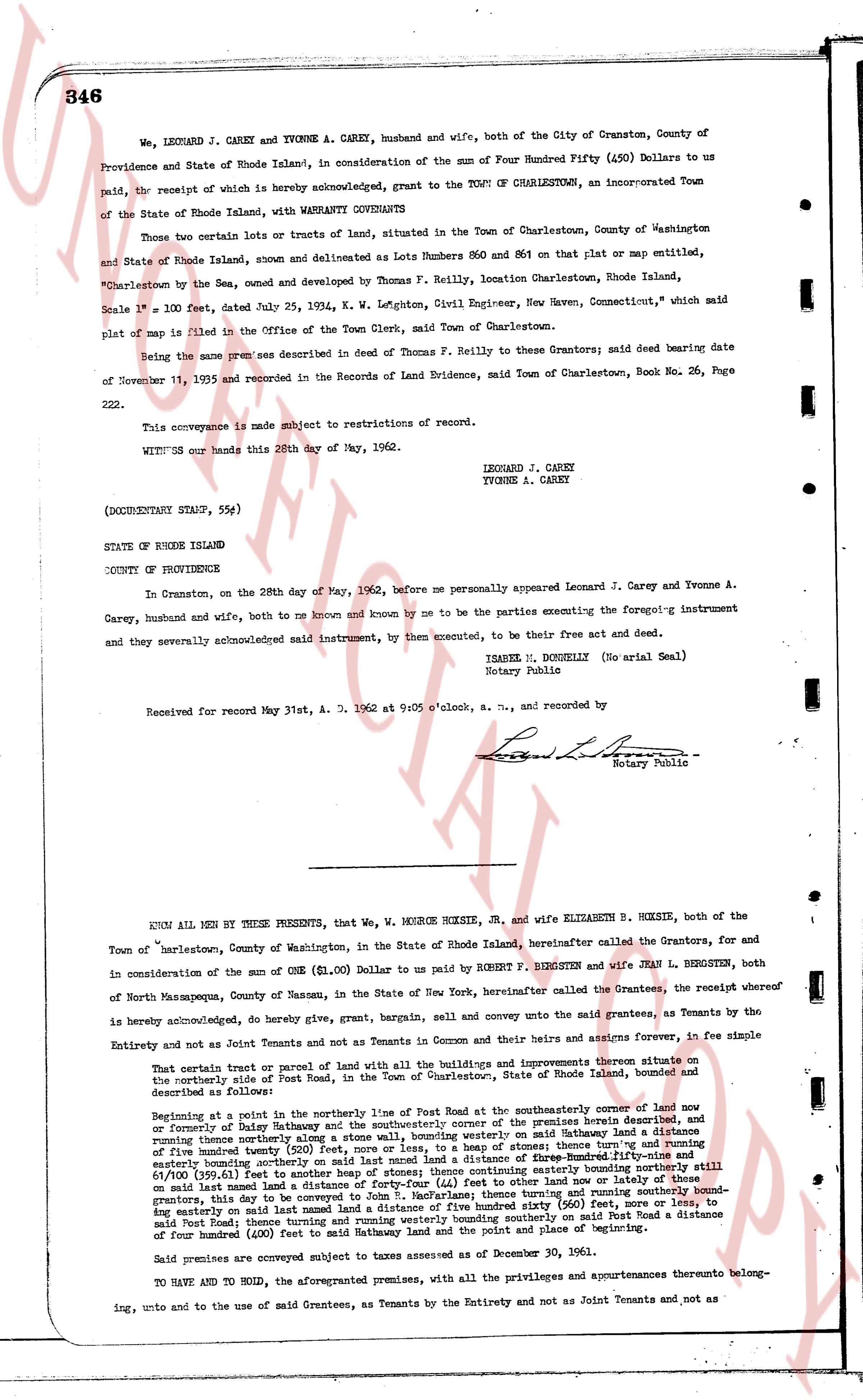
We, LEONARD J. CAREY and YVONNE A. CAREY, husband and wife, both of the City of Cranston, County of Providence and State of Rhode Island, in consideration of the sum of Four Hundred Fifty (450) Dollars to us paid, the receipt of which is hereby acknowledged, grant to the TOWN OF CHARLESTOWN, an incorporated Town of the State of Rhode Island, with WARRANTY CONVEYANCE QUITSCLAIM
Those two certain lots or tracts of land, situated in the Town of Charlestown, County of Washington and State of Rhode Island, shown and delineated as Lots Numbers 850 and 861 on that plat or map entitled, "Charlestown by the Sea, owned and developed by Thomas F. Reilly, location Charlestown, Rhode Island, Scale 1" = 100 feet, dated July 25, 1954, K. W. Leighton, Civil Engineer, New Haven, Connecticut," which said plat of map is on file in the Offices of the Town Clerk, said Town of Charlestown.
Being the same premises described in deed of Thomas F. Reilly to these Grantors; said deed bearing date of November 11, 1955 and recorded in the Records of Land Evidence, Town of Charlestown, Book No. 26, Page 222.
This conveyance is made subject to restrictions of record.
WITNESS our hands this 28th day of May, 1962.
LEONARD J. CAREY
YVONNE A. CAREY
(DOCUMENTARY STAMP, 55¢)
STATE OF RHODE ISLAND
COUNTY OF PROVIDENCE
In Cranston, on the 28th day of May, 1962, before me personally appeared Leonard J. Carey and Yvonne A. Carey, husband and wife, both of to me known and known by me to be the parties executing the foregoing instrument and they severally acknowledged said instrument, by them executed, to be their free act and deed.
ISABELL M. DONNELLY (No arial Seal)
Notary Public
Received for record May 31st, A. D. 1962 at 9:05 o'clock, a. m., and recorded by
[Signature]
Notary Public
----
KNOW ALL MEN BY THESE PRESENTS, that We, W. MONROE HOXSIE, Jr., and wife ELIZABETH B. HOXSIE, both of the Town of Charlestown, County of Washington, in the State of Rhode Island, hereinafter called the Grantors, for and in consideration of the sum of ONE ($1.00) Dollar to us paid by ROBERT F. BERGSTEN and wife JEAN L. BERGSTEN, both of North Masapequa, Town of Massapequa, in the State of New York, hereinafter called the Grantees, the receipt whereof is hereby acknowledged, do hereby give, grant, bargain, sell and convey unto the said Grantees, as Tenants by the Entirety and not as Joint Tenants and not as Tenants in Common and their heirs and assigns forever, in fee simple
That certain parcel or tract of land with all the buildings and improvements thereon situate on the northerly side of Port Road, in the Town of Charlestown, in the State of Rhode Island, bounded and described as follows:
Beginning at a point in the northerly line of Port Road at the southerly intersection of corner of land now or formerly of Claire Hathaway and the southerly corner of the premises herein described, and running thence northerly along said Hathaway land a distance of one hundred (100) feet to an easterly boundary running thence northerly along said boundary five hundred (500) feet more or less, to a heap of stones; thence turning east and running easterly boundary running thence northerly along said boundary five hundred (500) feet, and running easterly boundary running thence northerly along said boundary five hundred (500) feet, and running easterly boundary running thence northerly along said boundary five hundred (500) feet, and running easterly boundary running thence northerly along said boundary five hundred (500) feet, and running easterly boundary running thence northerly along said boundary five hundred (500) feet, and running easterly boundary running thence northerly along said boundary five hundred (500) feet, and running easterly boundary running thence northerly along said boundary five hundred (500) feet, and running easterly boundary running thence northerly along said boundary five hundred (500) feet, and running easterly boundary running thence northerly along said boundary five hundred (500) feet, and running easterly boundary running thence northerly along said boundary five hundred (500) feet, and running easterly boundary running thence northerly along said boundary five hundred (500) feet, and running easterly boundary running thence northerly along said boundary five hundred (500) feet, and running easterly boundary running thence northerly along said boundary five hundred (500) feet, and running easterly boundary running thence northerly along said boundary five hundred (500) feet, and running easterly boundary running thence northerly along said boundary five hundred (500) feet, and running easterly boundary running thence northerly along said boundary five hundred (500) feet, and running easterly boundary running thence northerly along said boundary five hundred (500) feet, and running easterly boundary running thence northerly along said boundary five hundred (500) feet, and running easterly boundary running thence northerly along said boundary five hundred (500) feet, and running easterly boundary running thence northerly along said boundary five hundred (500) feet, and running easterly boundary running thence northerly along said boundary five hundred (500) feet, and running easterly boundary running thence northerly along said boundary five hundred (500) feet, and running easterly boundary running thence northerly along said boundary five hundred (500) feet, and running easterly boundary running thence northerly along said boundary five hundred (500) feet, and running easterly boundary running thence northerly along said boundary five hundred (500) feet, and running easterly boundary running thence northerly along said boundary five hundred (500) feet, and running easterly boundary running thence northerly along said boundary five hundred (500) feet, and running easterly boundary running thence northerly along said boundary five hundred (500) feet, and running easterly boundary running thence northerly along said boundary five hundred (500) feet, and running easterly boundary running thence northerly along said boundary five hundred (500) feet, and running easterly boundary running thence northerly along said boundary five hundred (500) feet, and running easterly boundary running thence northerly along said boundary five hundred (500) feet, and running easterly boundary running thence northerly along said boundary five hundred (500) feet, and running easterly boundary running thence northerly along said boundary five hundred (500) feet, and running easterly boundary running thence northerly along said boundary five hundred (500) feet, and running easterly boundary running thence northerly along said boundary five hundred (500) feet, and running easterly boundary running thence northerly along said boundary five hundred (500) feet, and running easterly boundary running thence northerly along said boundary five hundred (500) feet, and running easterly boundary running thence northerly along said boundary five hundred (500) feet, and running easterly boundary running thence northerly along said boundary five hundred (500) feet, and running easterly boundary running thence northerly along said boundary five hundred (500) feet, and running easterly boundary running thence northerly along said boundary five hundred (500) feet, and running easterly boundary running thence northerly along said boundary five hundred (500) feet, and running easterly boundary running thence northerly along said boundary five hundred (500) feet, and running easterly boundary running thence northerly along said boundary five hundred (500) feet, and running easterly boundary running thence northerly along said boundary five hundred (500) feet, and running easterly boundary running thence northerly along said boundary five hundred (500) feet, and running easterly boundary running thence northerly along said boundary five hundred (500) feet, and running easterly boundary running thence northerly along said boundary five hundred (500) feet, and running easterly boundary running thence northerly along said boundary five hundred (500) feet, and running easterly boundary running thence northerly along said boundary five hundred (500) feet, and running easterly boundary running thence northerly along said boundary five hundred (500) feet, and running easterly boundary running thence northerly along said boundary five hundred (500) feet, and running easterly boundary running thence northerly along said boundary five hundred (500) feet, and running easterly boundary running thence northerly along said boundary five hundred (500) feet, and running easterly boundary running thence northerly along said boundary five hundred (500) feet, and running easterly boundary running thence northerly along said boundary five hundred (500) feet, and running easterly boundary running thence northerly along said boundary five hundred (500) feet, and running easterly boundary running thence northerly along said boundary five hundred (500) feet, and running easterly boundary running thence northerly along said boundary five hundred (500) feet, and running easterly boundary running thence northerly along said boundary five hundred (500) feet, and running easterly boundary running thence northerly along said boundary five hundred (500) feet, and running easterly boundary running thence northerly along said boundary five hundred (500) feet, and running easterly boundary running thence northerly along said boundary five hundred (500) feet, and running easterly boundary running thence northerly along said boundary five hundred (500) feet, and running easterly boundary running thence northerly along said boundary five hundred (500) feet, and running easterly boundary running thence northerly along said boundary five hundred (500) feet, and running easterly boundary running thence northerly along said boundary five hundred (500) feet, and running easterly boundary running thence northerly along said boundary five hundred (500) feet, and running easterly boundary running thence northerly along said boundary five hundred (500) feet, and running easterly boundary running thence northerly along said boundary five hundred (500) feet, and running easterly boundary running thence northerly along said boundary five hundred (500) feet, and running easterly boundary running thence northerly along said boundary five hundred (500) feet, and running easterly boundary running thence northerly along said boundary five hundred (500) feet, and running easterly boundary running thence northerly along said boundary five hundred (500) feet, and running easterly boundary running thence northerly along said boundary five hundred (500) feet, and running easterly boundary running thence northerly along said boundary five hundred (500) feet, and running easterly boundary running thence northerly along said boundary five hundred (500) feet, and running easterly boundary running thence northerly along said boundary five hundred (500) feet, and running easterly boundary running thence northerly along said boundary five hundred (500) feet, and running easterly boundary running thence northerly along said boundary five hundred (500) feet, and running easterly boundary running thence northerly along said boundary five hundred (500) feet, and running easterly boundary running thence northerly along said boundary five hundred (500) feet, and running easterly boundary running thence northerly along said boundary five hundred (500) feet, and running easterly boundary running thence northerly along said boundary five hundred (500) feet, and running easterly boundary running thence northerly along said boundary five hundred (500) feet, and running easterly boundary running thence northerly along said boundary five hundred (500) feet, and running easterly boundary running thence northerly along said boundary five hundred (500) feet, and running easterly boundary running thence northerly along said boundary five hundred (500) feet, and running easterly boundary running thence northerly along said boundary five hundred (500) feet, and running easterly boundary running thence northerly along said boundary five hundred (500) feet, and running easterly boundary running thence northerly along said boundary five hundred (500) feet, and running easterly boundary running thence northerly along said boundary five hundred (500) feet, and running easterly boundary running thence northerly along said boundary five hundred (500) feet, and running easterly boundary running thence northerly along said boundary five hundred (500) feet, and running easterly boundary running thence northerly along said boundary five hundred (500) feet, and running easterly boundary running thence northerly along said boundary five hundred (500) feet, and running easterly boundary running thence northerly along said boundary five hundred (500) feet, and running easterly boundary running thence northerly along said boundary five hundred (500) feet, and running easterly boundary running thence northerly along said boundary five hundred (500) feet, and running easterly boundary running thence northerly along said boundary five hundred (500) feet, and running easterly boundary running thence northerly along said boundary five hundred (500) feet, and running easterly boundary running thence northerly along said boundary five hundred (500) feet, and running easterly boundary running thence northerly along said boundary five hundred (500) feet, and running easterly boundary running thence
page 2 · read by Gemma vision
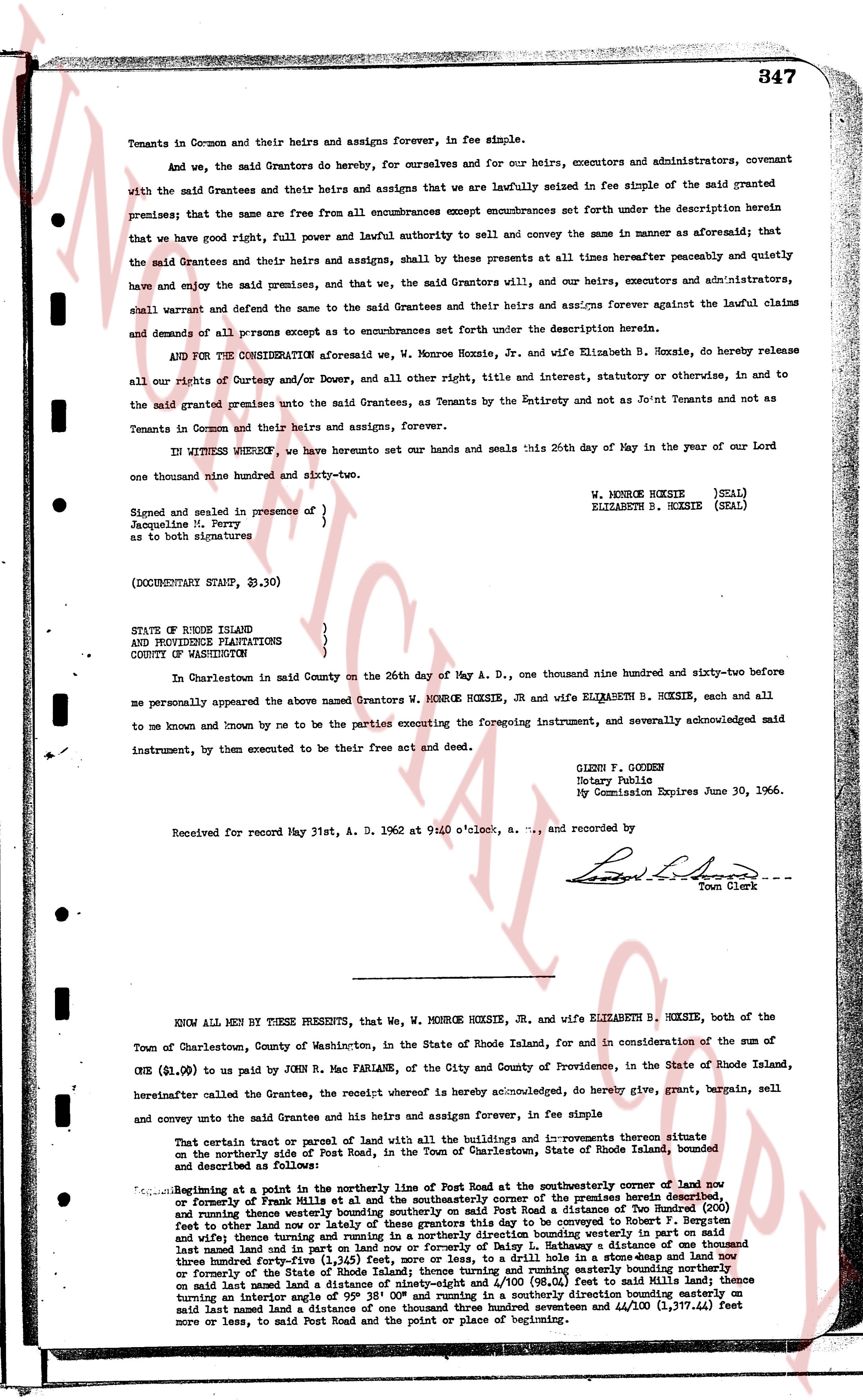
Tenants in Common and their heirs and assigns forever, in fee simple.
And we, the said Grantors do hereby, for ourselves and for our heirs, executors and administrators, covenant with the said Grantees and their heirs and assigns that we are lawfully seized in fee simple of the said grant premises; that the same are free and from all encumbrances except encumbrances set forth under the description herein premises; that we have good right, full power and lawful authority to sell and convey the same in manner as aforesaid; that the said Grantees and their heirs and assigns, shall by these presents at all times hereafter peaceably and quietly have and enjoy the said premises and that, we, the said Grantors will, and our heirs, executors and administrators, shall warrant and defend the same to the said Grantees and their heirs and assigns forever against the lawful claims and demands of all persons except as to encumbrances set forth under the description herein.
AND FOR THE CONSIDERATION aforesaid we, W. Monroe Hoxsie, Jr. and wife Elizabeth B. Hoxsie, do hereby release all our rights of Curtesy and dower and, all other right, title and interest, statutory or otherwise, in and to the said granted premises unto the said Grantees, as Tenants by the Entirety and not as Joint Tenants and not as Tenants in Common and their heirs and assigns, forever.
IN WITNESS WHEREOF, we have hereto set our hands and seals this 26th day of May in the year of our Lord one thousand nine hundred and sixty-two.
Signed and sealed in presence of }
Jacqueline M. Perry }
as to both signatures } W. MONROE HOXSIE (SEAL)
ELIZABETH B. HOXSIE (SEAL)
(DOCUMENTARY STAMP, $1.30)
STATE OF RHODE ISLAND
AND PROVIDENCE PLANTATIONS
COUNTY OF WASHINGTON
In Charlestown in said County on the 26th day of May A. D., one thousand nine hundred and sixty-two before me personally appeared the above named Grantors W. MONROE HOXSIE, JR and wife ELIZABETH B. HOXSIE, each and all to me known and known by me to be the parties executing the foregoing instrument, and severally acknowledged said instrument, by them executed to be their free act and deed.
GLENN F. GOGGEN
Notary Public
My Commission Expires June 30, 1966.
Received for record May 31st, A. D. 1962 at 9:40 o'clock, a. m., and recorded by
[Signature]
Town Clerk
----
KNOW ALL MEN BY THESE PRESENTS, that we, W. MONROE HOXSIE, JR., and wife ELIZABETH B. HOXSIE, both of the Town of Charlestown, County of Washington, in the State of Rhode Island, for and in consideration of the sum of ONE ($1.00) to us paid by JOHN R. Mac FARLANE, of the City and County of Providence, in the State of Rhode Island, hereinafter called the Grantee, the receipt whereof is hereby acknowledged, do hereby give, grant, bargain, sell and convey unto the said Grantee and his heirs and assigns forever, in fee simple
That certain plot or parcel of land with all the buildings and improvements thereon situate in the northeasterly part of the Town of Charlestown, County of Washington, State of Rhode Island, bounded and described as follows:
Beginning at a point in the southerly line of Post Road at the southeasterly corner of land now or formerly of Paul Mills et al and the southeasterly corner of the premises herein described, and running thence westerly bounding said property on said Post Road a distance of two Hundred (200) feet more or less then turning north now or formerly of Paul Mills et al we converge to boundary line running north and running thence westerly bounding property in western part on said land now or formerly of Paul Mills et al and now or formerly of Patrick's distance of one hundred fifty last named land in ut part on land now or formerly of Patrick's distance bounding westerly part in on said land now or formerly of Patrick's distance of one hundred fifty feet, to a drill hole in a stone heap and land now or formerly of the State of Rhode Island; thence turning north and running northeasterly bounding westerly boundary on said land now and formerly of the State of Rhode Island, (98.64) feet to said Mills land; thence turning an interior angle of 95° 38' 00" and running in a southeasterly direction bounding easterly on said land now and formerly of the State of Rhode Island a distance between and 4/100 (1,377.44) feet more or less, to said Post Road and the point or place of beginning.
The page as recorded