The instrument's own words
page 1 · read by Gemma vision
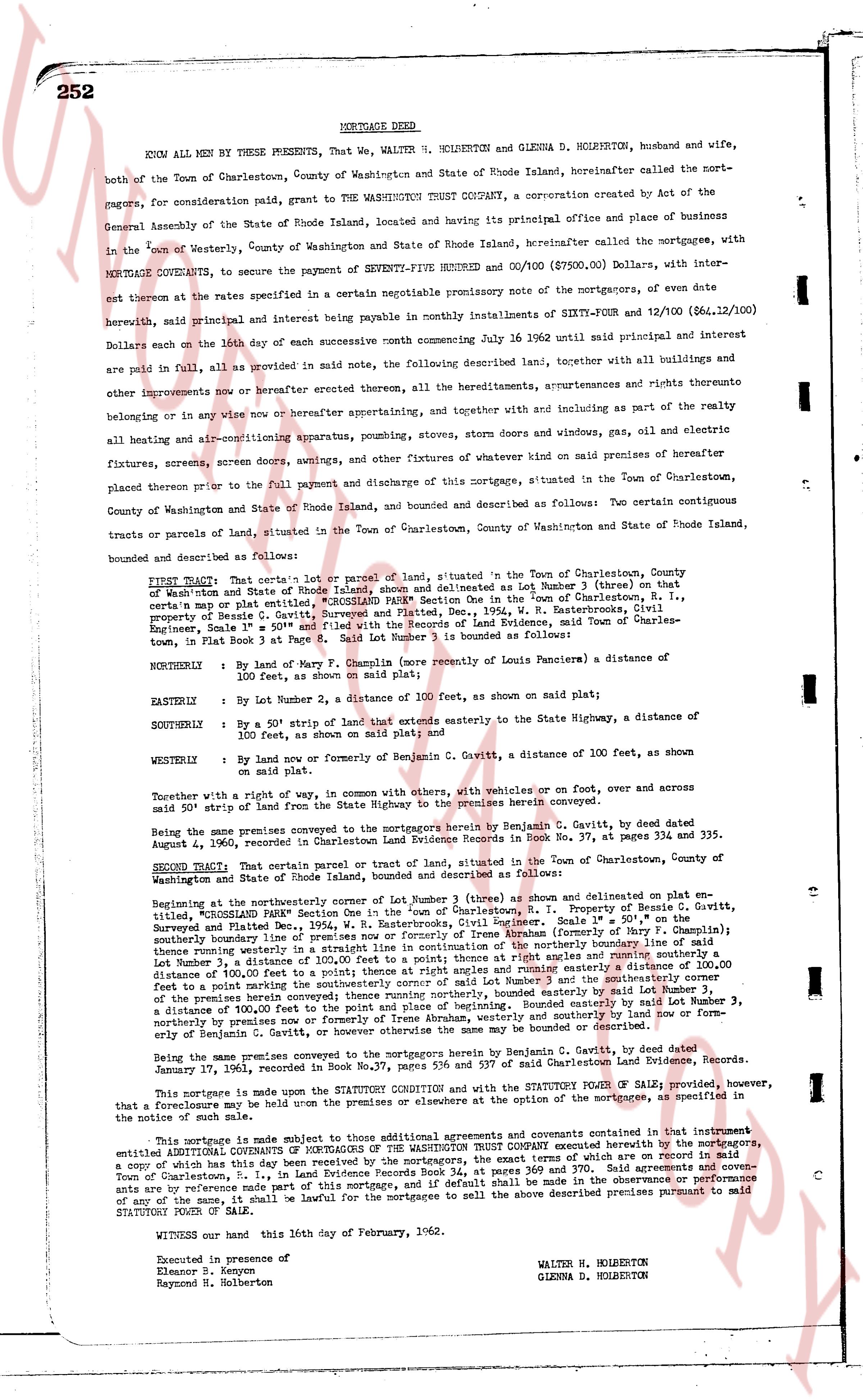
252 MORTGAGE DEED
KNOW ALL MEN BY THESE PRESENTS, That we, WALTER H. HOLBERTON and GLENNA D. HOLBERTON, husband and wife,
both of the Town of Charlestown, County of Washington and State of Rhode Island, hereinafter called the mort-
gagors, for consideration paid, grant to THE WASHINGTON TRUST COMPANY, a corporation created by Act of the
General Assembly of the State of Rhode Island, located and having its principal office and place of business in
the Town of Westerly, County of Washington and State of Rhode Island, hereinafter called the mortgagees, with
MORTGAGE COVENANTS, to secure the payment of SEVENTY-FIVE THOUSAND AND 00/100 ($75,000.00), Dollars, with in-
terest thereon at the rates specified in a certain negotiable promissory note of the mortgagors, of even date
herewith, said principal and interest being payable monthly in ninety installments of SIXTY-FOUR and 12/100 ($64.12/100)
Dollars each on the 10th day of each successive month commencing July 16 1962 until principal and interest are
all provided in full, as provided in said note, the following described land, together with all buildings and improvements
or any improvements now or hereafter erected thereon, all the hereditaments, appurtenances and rights thereunto
belonging or in any wise now or hereafter appertaining, and together and in union with and as part of the realty all
heating and air-conditioning apparatus, plumbing, stoves, storm doors and windows, gas, oil and electric
fixtures, screens, screen doors, awnings, and other fixtures of whatever kind now on premises of hereinafter
placed thereon prior to the full payment and discharge of this mortgage, situated in the Town of Charlestown,
County of Washington and State of Rhode Island, bounded and described as follows: Two certain contiguous
tracts or parcels of land, situated in the Town of Charlestown, County of Washington and State of Rhode Island,
bounded described and surveyed as follows:
FIRST TRACT: That certain lot or parcel of land, situated in the Town of Charlestown, County of
Washington and State of Rhode Island, shown and delineated as Lot Number 1 thereby on that
map of Washington and State of Rhode Island, situated in the Town of Charlestown, R.I.,
certain map or plat entitled "Survey, Surveyed and Plated, Dec., 1954, W. H. Easterbrook, Civil
Engineer, Scale 1" = 50'", and filed with the Records of Land Evidence, Town and County of Char-
lestown, in Plat Book 4, page 1, bounded as follows:
NORTHLY: By the land of Mary F. Champney (now relative to Louis Pancieri) a distance of
100 feet, as shown on said plat;
NORTHLY: By Lot Number 2, a distance of 100 feet, as shown on said plat;
EASTERLY: By a 50' strip of land that extends easterly to the State Highway, a distance of
100 feet, as shown on said plat;
SOUTHERLY: By a 50' strip of land that extends easterly to the State Highway, a distance of
100 feet, as shown on said plat;
SOUTHERLY: By land now or formerly be owned by Benjamin C. Cavitt, a distance of 100 feet, as
shown on said plat.
Together with a right of way, in common with others, with vehicles or on foot, over and across
said 50' strip of land from the State Highway to the premises herein conveyed.
Being the same premises conveyed to the mortgagors by herein Benjamin C. Cavitt, by a deed dated
August 1962, recorded in Charlestown, Rhode Island, in Land Evidence Book 38, at pages 37, 334 and 335.
SECOND TRACT: That certain parcel or tract of land, situated in the Town of Charlestown, County of
Washington and State of Rhode Island, shown and delineated on plat entitled,
"CHARLESTOWN LAND SURVEY", by W. H. Easterbrook, Civil Engineer, Property of Ben. C. Cavitt,
Surveyed and Plated Dec., 1954, W. H. Easterbrook, Civil Engineer, Scale 1" = 50', and filed with the
Records of Land Evidence, Town and County of Charlestown, R.I., bounded and described as follows:
Beginning at the northeasterly corner of Lot Number 3 (three) as shown and delineated on plat entitled,
"CHARLESTOWN LAND SURVEY", by W. H. Easterbrook, Civil Engineer, Property of Ben. C. Cavitt,
Surveyed and Plated Dec., 1954, W. H. Easterbrook, Civil Engineer, Scale 1" = 50', and filed with the
Records of Land Evidence, Town and County of Charlestown, R.I. then running westerly (from the land of B. Champney)
southerly boundary line of premises in a straight line in continuation of the northerly boundary line of same
thence running northerly in a straight line to the northeasterly corner of Lot Number 2 (two) and running easterly a distance of
100 feet to a point marking the southwesterly corner of said Lot Number 2 (two) then running easterly a distance of
100 feet to a point marking the southeasterly corner of said Lot Number 2 (two) then running southerly a distance of
100 feet to a point marking the southwesterly corner of said Lot Number 3 (three) then running easterly a distance of
100 feet to a point marking the southeasterly corner of said Lot Number 3 (three) then running northerly a distance of
100 feet to a point marking and beginning. Southerly bounded by said Lot Number 3 (three),
northerly bounded by Lot Number 2 (two), easterly bounded and westerly bounded by the land of now or
formerly of Benjamin C. Cavitt, or however otherwise the same may be bounded or described.
Being the same premises conveyed to the mortgagors by herein Benjamin C. Cavitt, by a deed dated
January 17, 1961, recorded in Book 37, page 111 of the Charlestown Land Evidence books.
This mortgage is made upon the STATUTORY CONDITION that with the STATUTORY FORM OF SALE, provided however, that a foreclosure may be had under other instruments or clauses at the option of the mortgagees, as specified in
the notice of such sale.
This mortgage is made subject to those additional agreements and covenants contained in that instrument
entitled COVENANTS OF MORTGAGORS OF THE WASHINGTON TRUST COMPANY executed herewith by the mortgagors,
a copy of which has this day been received by the mortgagors, the exact terms of which are set forth in the
Town of Charlestown, R.I. in Land Evidence Book 38, at pages 369 and 370. Said agreements and cove-
nants are by reference made part of this mortgage, and if default shall be made in the observance or performance
of any of the same, it shall be lawful for the mortgagees to sell the above described premises pursuant to said
STATUTORY FORM OF SALE.
WITNESS our hand this 16th day of February, 1962.
Executed in presence of
Eleanor B. Kenyon
Raymond B. Holberton
WALTER H. HOLBERTON
GLENNA D. HOLBERTON
page 2 · read by Gemma vision
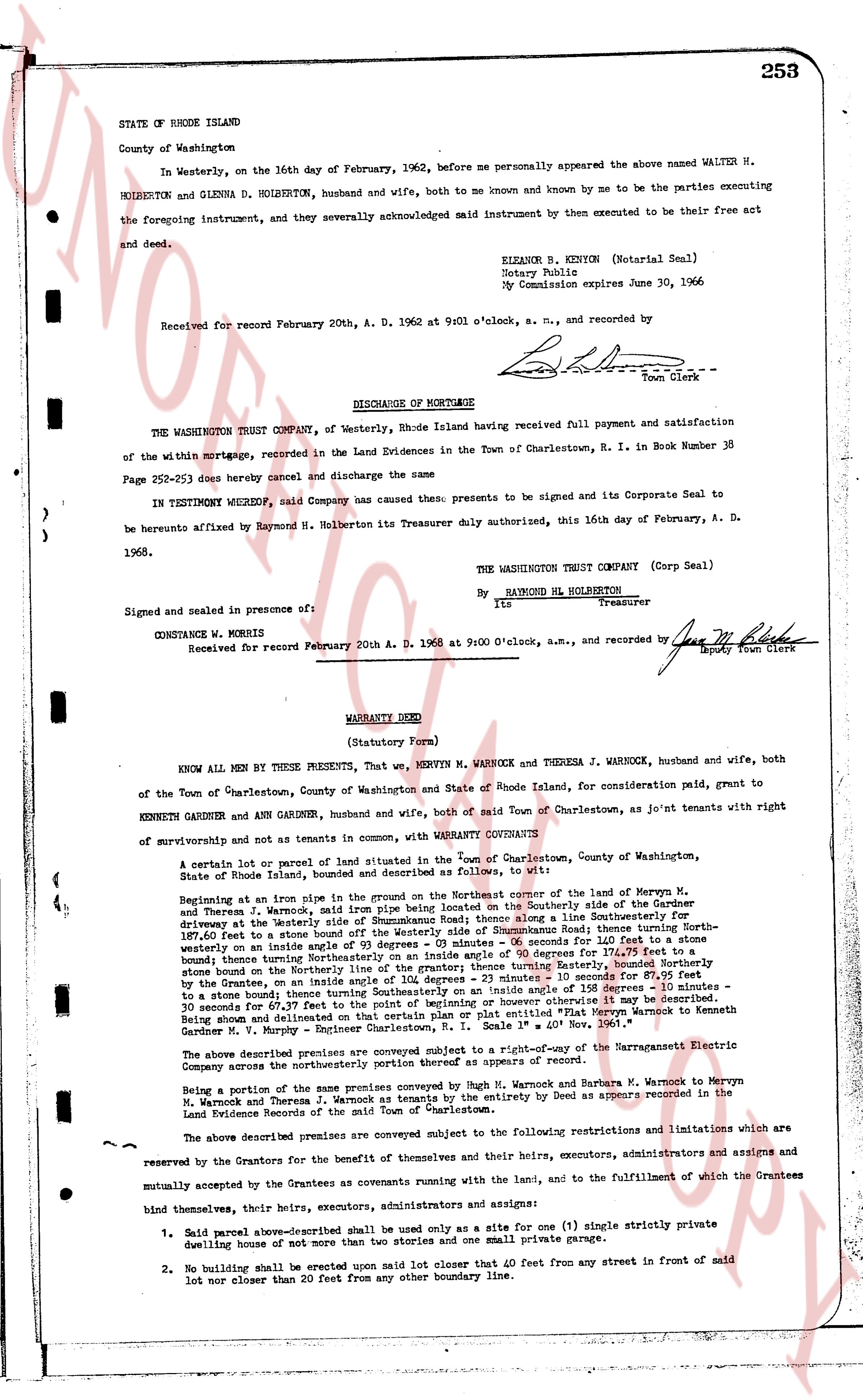
STATE OF RHODE ISLAND 253
County of Washington
In Westerly, on the 16th day of February, 1962, before me personally appeared the above named WALTER H. HOLBERTON and GLENNA D. HOLBERTON, husband and wife, both to me known and by me to be the parties executing the foregoing instrument, and they severally acknowledged said instrument then executed to be their free act and deed.
ELEANOR B. KENYON (Notarial Seal)
Notary Public
My Commission expires June 30, 1966
Received for record February 20th, A. D. 1962 at 9 o'clock, a. m., and recorded by [Signature]
Town Clerk
----
DISCHARGE OF MORTGAGE
THE WASHINGTON TRUST COMPANY, of Westerly, Rhode Island having received full payment and satisfaction of the within mortgage, recorded in the Land Evidences in the Town of Charlestown, R. I. in Book Number 38 Page 252-253 does hereby cancel and discharge the same
IN TESTIMONY WHEREOF, said Company has caused these presents to be signed and its Corporate Seal to be hereunto affixed by Raymond H. Holberton its Treasurer duly authorized, this 16th day of February, A. D. 1962.
THE WASHINGTON TRUST COMPANY (Corp Seal)
By RAYMOND H. HOLBERTON
Its Treasurer
Signed and sealed in presence of:
CONSTANCE W. MORRIS
Received for record February 20th A. D. 1962 at 9:00 O'clock, a.m., and recorded by [Signature]
Deputy Town Clerk
----
WARRANTY DEED
(Statutory Form)
KNOW ALL MEN by THESE PRESENTS, That, we, Mervyn M. WARROCK and THERESA J. WARROCK, husband and wife, both of the Town of Charlestown, County of Washington and State of Rhode Island, for consideration paid, grant to KENNETH GARDNER and ANN GARDNER, husband and wife, both of said Town of Charlestown, as Jo'int tenants with right of survivorship and not as tenants in common, with WARRANTY CONVEYANTS
A certain lot or parcel of land situated in the Town of Charlestown, County of Washington, State of Rhode Island, bound and described as follows, to wit:
Beginning at an iron pipe sunk in the ground on the Northeast corner of the land of Mervyn M. and Theresa Warrock, said iron pipe being on the Southerly side of the Summerhouse Road driveway at the Westerly side of Summerhouse Road thence along a line Southeasterly 10 - 31 meters to a stone bound on the Northeast corner of the land of Summerhouse Road; thence running Northwesterly on the inside angle of 93 degrees 03 minutes - 05 seconds for 160 feet to a stone bound on the boundary thence turning Southeasterly 90 degrees 00 minutes 05 seconds for 160 feet to a stone bound on the boundary thence turning Southeasterly on the inside angle of the boundary thence turning Easterly, bounded Northerly by the land of Mervyn M. and Theresa Warrock; thence running Southerly in an inside angle of 135 degrees 30 minutes to a stone bound thence turning Southeasterly on the inside angle of an iron pipe 135 degrees - 30 minutes - 10 meters to a stone bound thence turning Southeasterly to the point of beginning as shown on that Platted "Fair Map Mervyn Warnock to Kenneth Gardner M. V. Murphy - Engineer Charlestown, R. I. Scale 1" = 40' Nov 1961."
The above described premises are conveyed subject to a right-of-way of the Narragansett Electric Company across the northeasterly side of the premises as of record.
Being a portion of the same premises conveyed by Hugh M. Warnock and Barbara M. Warnock to Mervyn M. Warnock and Theresa J. Warnock as tenants by the entirety by Deed as appears recorded in the Land Evidence Records of the said Town of Charlestown.
The above described premises are conveyed subject to the following restrictions and limitations which are reserved for the Grantees for the benefit of themselves their heirs, executors, administrators and assigns and mutually accepted by the Grantees as covenants running with the land, and to the fulfillment of which the Grantees bind themselves, their heirs, executors, administrators and assigns:
1. Said parcel above-described shall be used only as a site for one (1) single strictly private dwelling house of not more than 2 1/2 stories and one (1) private garage.
2. No building shall be erected upon said lot closer than 40 feet from any street in front of said lot nor closer than 20 feet from any other boundary line.
The page as recorded