The instrument's own words
Attribution under review. The portal's file number is shared by more than one instrument, and the words below could not be placed with certainty on this one by their own evidence (page stamp, parties, dates); they may belong to a neighbouring instrument. Read them as the record of the page, not yet as this deed's own.
page 1
230
STATUTORY FORM OF WARRANTY DEED
CHARLESTOWN ESTATES, INC., a Corporation duly incorporated under the Laws of the State of Rhode Island, and
having a place of business in the Town of Westerly, County of Washington and State of Rhode Island, for consider-
ation paid grant to E. WILLIAM CAMILL and JOYCE S. CAMILL, husband and wife, both of South Windsor, County of
Hartford and State of Connecticut, as Joint Tenants and not to tenants in common, meaning to the survivor, with
WARRANTY CONVEYANCE.
Two certain contiguous tracts or parcels of land located on the easterly side of Midland Road,
so called, at Quonochontaug Beach in the Town of Charlestown, County of Washington and State of
Rhode Island, both and bounded and described as follows:
Beginning at a point on the easterly side of Midland Road, said point being the southeasterly cor-
ner of the parcel herein conveyed and being further located a distance of sixty (60) feet
northerly from the intersection of Midland Road and the northerly boundary line of Farm lot F29 of
E. Tarbox, Sr., et seq.; thence northerly along the easterly side of said Midland Road a distance of two hundred
sixty One Hundred (261) feet to the point of beginning of the first parcel herein conveyed; thence
turning a right angle and extending easterly a distance of Two Hundred Twenty-five (225) feet to the
center of a certain road running parallel and east of Midland Road; thence turning a right angle and ex-
tending southerly a distance of One Hundred Twenty (120) feet to the southeasterly corner of the first par-
cel herein conveyed; thence turning a right angle and extending westerly a distance of Two Hundred Twenty-
five (225) feet to the point and place of beginning, bounded westerly by Midland Road,
northerly, easterly and southerly by lands of the grantor.
Meaning and Intending to convey lot F28 and F29 of a certain plan or plat entitled,
"Plat of Quonochontaug Beach at Quonochontaug Beach, S.P., property of S. N. Davis, Recn. L.,
Holland, C. N., F. 100 feet to the inch, February, 1956." said plat being duly filed in the Land Evidence
Records of the Town of Charlestown.
The above conveyed premises shall not be used as a site for more than one dwelling house or cabin
hereby conveyed, said residence to be of a class not to cost less than Three Thousand ($3000) dollars
to be built along the center line of the lot and at least twenty five feet from the street northerly pan
tion of any house constructed (garage included) shall approach the street nearer than thirty mid building
line, no portion of any structure (garage included) shall extend east or rear line of the lot more than
three feet. No detached garage or other building or buildings shall be erected thereon and all
utilities shall be connected to the sanitary fill system, all toilets and sinks and other plumbing in the tabs,
or suitable cesspool.
In consideration of the purchase price it is understood and agreed that the above restrictions and re-
servations shall apply to and run with the land for a period not to exceed twenty years from January 1, 1962.
The grantees, their heirs, executors, administrators, successors, assigns, licensees, servants or agents shall
have the right of way and right of access to cross over lot F29 from Atlantic Avenue to the
beach and the seaside; the grantees, their heirs, executors, administrators, successors, assigns, licensees or
agents shall have the right of way and right of access to cross over all at times and for all pur-
poses over that certain forty-two feet wide right of way leading to said beach at Quonochontaug, i.e.,
as shown on that certain plan or plat entitled "Plat of Quonochontaug Beach, S.P., property of
S. N. Davis, Recn. L., Holland, C. N., scale 1 inch equals 100 feet, revised July, 1961," which
plat is duly filed in the Land Evidence Records in the Town of Charlestown.
IN WITNESS WHEREOF, the said Corporation has caused these presents to be signed by its Treasurer and
Secretary, hereunto duly authorized, and the Corporate Seal to be hereunto affixed at Westerly, Rhode Island,
this 5th day of January 1962.
CHARLESTOWN ESTATES, INC. (Corporate Seal)
Nelson N. Thoorp
Treasurer
Paul M. Kearney
Secretary
(DOCUMENTARY STAMPS, $2.20)
STATE OF RHODE ISLAND
COUNTY OF WASHINGTON
In Westerly on the 5th day of January 1962, before me personally appeared Nelson N. Thoorp, to me known
and known by me to be the Treasurer of said Corporation, and Paul M. Kearney, to me known and known by me to be
the Secretary of said Corporation and they acknowledged said instrument by them executed to be the free act and
deed of said Corporation and as well individually.
ROZZA E. WILLS (Notarial Seal)
Notary Public
Received for record January 18th, A. D. 1962 at 9:10 o'clock, a. m., and recorded by
Town Clerk
page 2
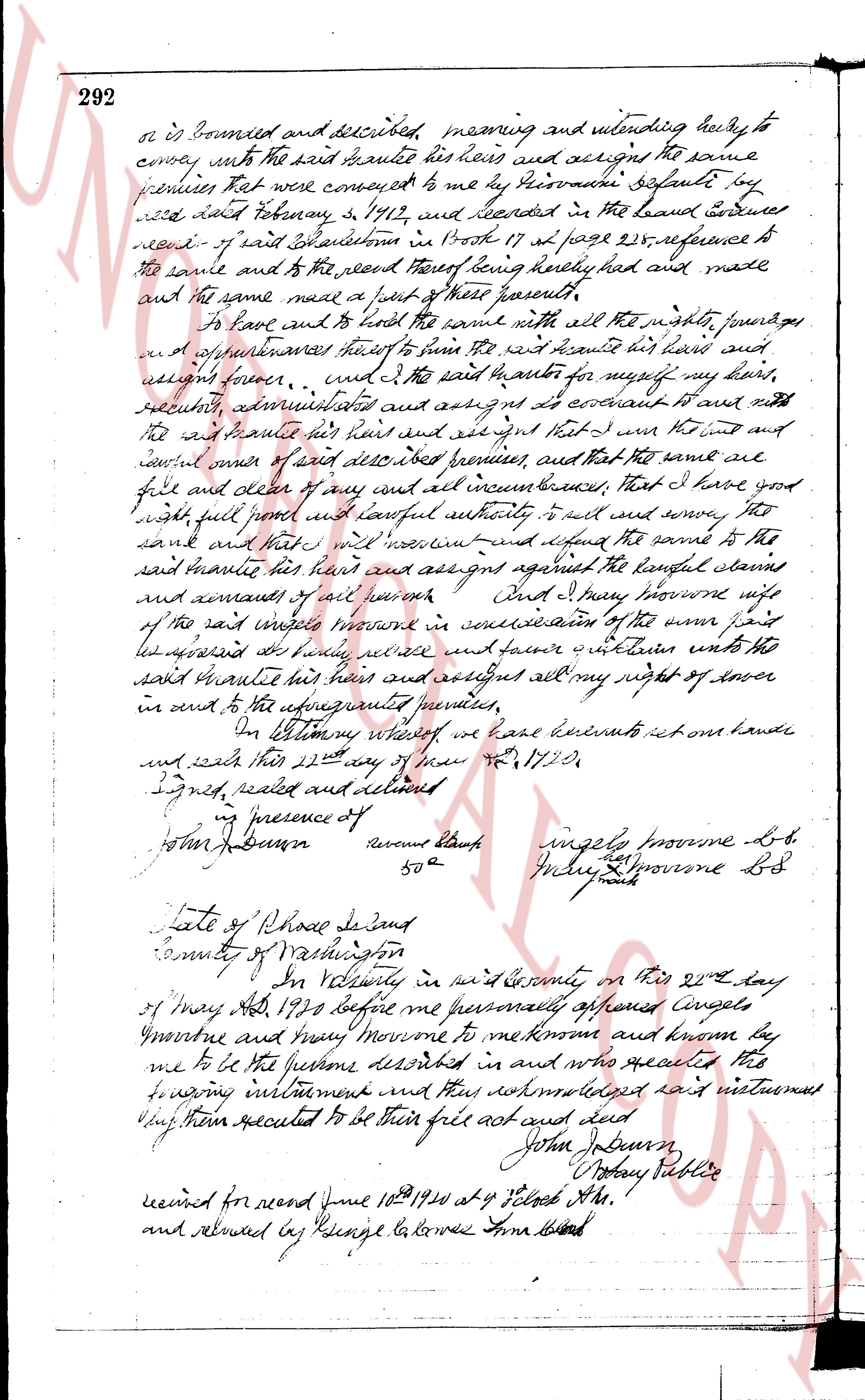
292
or is bounded and described meaning and intending hereby to
convey unto the said brantie his heirs and assigns the same
premises that were conveyed to me by Giovanni defalti by
said deed February 5, 1712, and recorded in the land evidence
record of said Scituate in Book 17 at page 225, reference to
the same and to the deed thereof being hereby had made
and the same made a part of these presents.
to have and to hold the same with all the rights, privileges
and appurtenances there to him the said brantie his heirs and
assigns forever. And I the said brantie for myself my heirs,
executors, administrators and assigns am covenant to and with
the said brantie his heirs and assigns and agree that I am the true and
lawful owner of said described premises, and that the same are
free and clear of any and all incumbrances, that I have good
with full power and lawful authority to sell and convey the
same and that I will warrant and defend the same to the
said brantie his heirs and assigns against the lawful claims
and demands of all persons. And I Mary brownne wife
of the said willem brownne in consideration of the sum paid
its witnessed day above written do waive and release unto the
said brantie his heirs and assigns all my right of dower
in and to the above mentioned premises.
In testimony whereof we have hereunto set our hands
and seals this 22nd day of May A.D. 1790.
Signed, sealed and delivered
in presence of
John J. Brown Reverend Black ingelly brownne L.S.
Willem Brownne L.S.
50^2
State of Rhode Island
County of Washington
I, In Testimony in said County on this 22nd day
of May A.D. 1790 before me personally appeared ingelly
Brownne and Mary Brownne to me known and known they
me to be the persons described in and who executed the
following instrument and they acknowledged said instrument
to be their free act and deed
John J. Brown
Notary Public
received for record June 10th 1790 at 4 o'clock A.M.
and returned by George La louse Lira Brown
The page as recorded