The instrument's own words
page 1 · read by Gemma vision
227
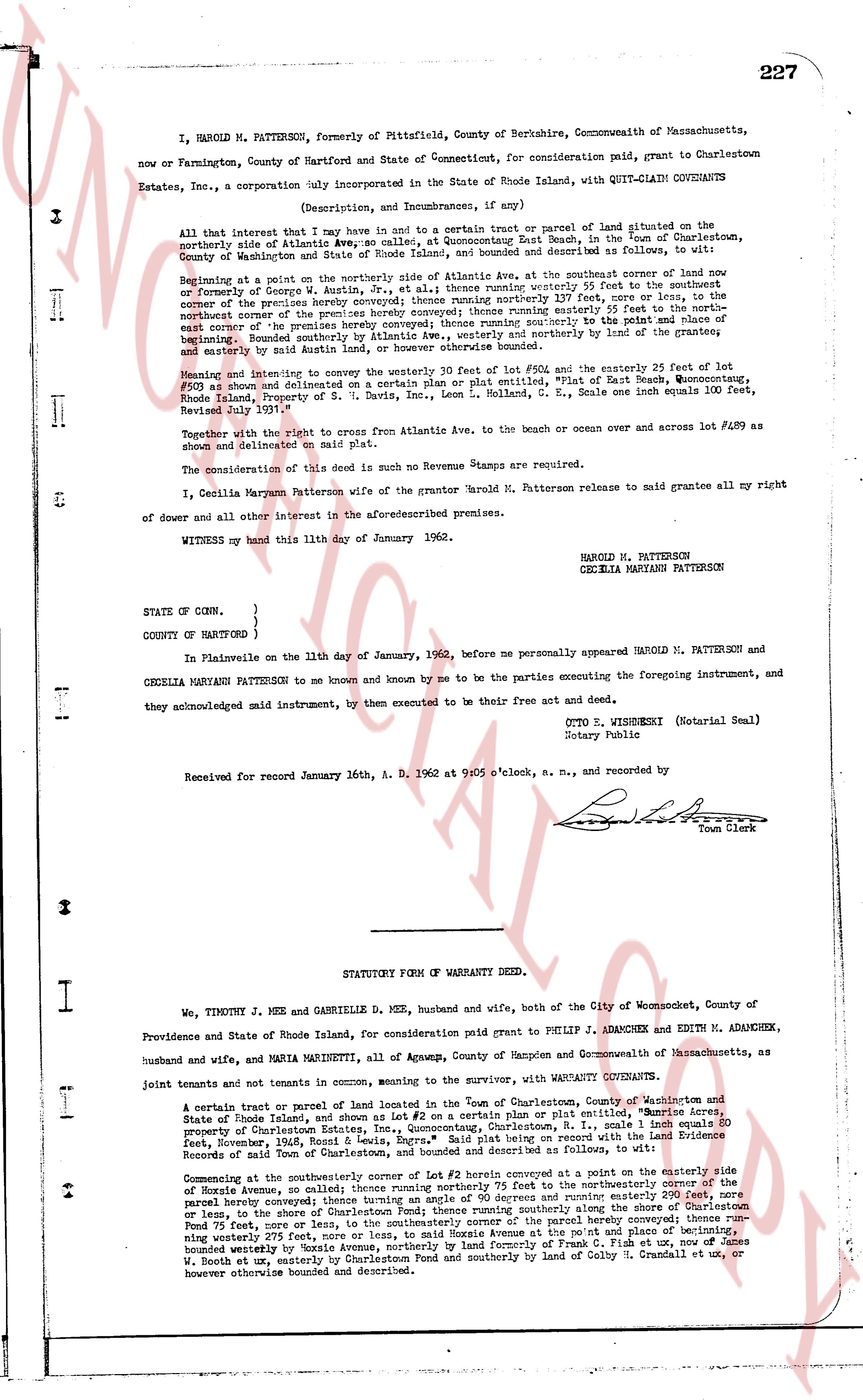
I, HAROLD M. PATTERSON, formerly of Pittsfield, County of Berkshire, Commonwealth of Massachusetts, now or Farmington, County of Hartford and State of Connecticut, for consideration paid, grant to Charlestown Estates, Inc., a corporation duly incorporated in the State of Rhode Island, with QUIT-CLAIM COVENANTS
(Description, and Incumbrances, if any)
All that interest that I now have and in favor to a common trust or parcel of land situated on the northerly side of Atlantic Ave., part of the area known as Quonochontough East Beach, in the Town of Charlestown, County of Washington and State of Rhode Island, any bounded and described as follows, to wit:
Beginning at a point on the northerly side of Atlantic Ave, at the southeaster corner of land now or formerly of George G. Atkin, the line then running northerly 25 feet to the northeaster corner of the premises hereby conveyed then running northerly 137 feet, more or less, to the northeast corner of the premises hereby conveyed then running westerly 84 feet, more or less, to the northwest corner of the premises hereby conveyed then running southerly 137 feet to the point and place of beginning. Bounded southerly by Atlantic Ave., westerly by [?] northerly by the land of the grantees, and easterly by said Atkin's land, the premises above bounded.
Meaning and intending to convey the westerly 20 feet of lot #502 and the easterly 25 feet of lot #500 as shown and delineated on a certain plan or plat entitled, "Plat of East Beach, Quonochontough, Rhode Island, Property of S. G. Davis, Inc., Leon L. Sonnell, G. S. Neale, one inch equals 100 feet, Revised July 1961."
Together with the right of access from Atlantic Ave, to the beach or ocean over and across lot #509 as shown and delineated on said plat.
The consideration of this deed is such no Revenue Stamps are required.
I, Cecilia Maryann Patterson wife of the grantor Harold M. Patterson release to said grantees all my right of dower and all other interest in the aforementioned premises.
WITNESS my hand this 11th day of January 1962.
HAROLD M. PATTERSON
CECILIA MARYANN PATTERSON
STATE OF CONN. }
} ss.
COUNTY OF HARTFORD }
In Plainville on the 11th day of January, 1962, before me personally appeared HAROLD M. PATTERSON and CECILIA MARYANN PATTERSON to me known and by me to be the parties executing the foregoing instrument, and they acknowledged said instrument, by them executed to be their free act and deed.
OTTO S. WISBRESKI (Notarial Seal)
Notary Public
Received for record January 16th, A. D. 1962 at 9:05 o'clock, a.m., and recorded by
[Signature]
Town Clerk
----
STATUTORY FORM OF WARRANTY DEED.
I, We, TIMOTHY J. MEE AND GABRIELLE D. MEE, husband and wife, both of the City of Woonsocket, County of Providence and State of Rhode Island, for consideration paid grant to PHILIP J. ADANCHEK AND EDITH M. ADANCHEK, husband and wife, and MARIA MARINETTI, all of Ampere, County of Hampden and Commonwealth of Massachusetts, as joint tenants and not tenants in common, meaning to the survivor, with WARRANTY COVENANTS.
A certain tract of land or parcel of land located in the Town of Charlestown, County of Washington and State of Rhode Island, and shown as Lot #2 on a certain Plan or plat entitled, "Shore Acres, Property of Corporation Estates Inc., Leon L. Sonnell, G. S. Neale, R. I., scale 1 inch equals 60 feet, November, 1963, Book & Page 38, Degree 228." Said plat being recorded on the land Evidence Records of the Town of Charlestown, Rhode Island, as follows, to wit:
Commencing at the southeasterly corner of Lot #2 herein conveyed at a point on the easterly side of Hoxie Avenue, so called; thence running northerly 75 feet to the northeasterly corner of the parcel hereby conveyed then running easterly 110 feet and northerly easterly 110 feet more or less, to the shore of Charlestown Pond thence running southerly along the shore of Charlestown Pond 75 feet, more or less, to the southeasterly corner of the parcel hereby conveyed then running westerly 110 feet, more or less, to said Hoxie Avenue at the point and place of beginning, bounded westerly by Hoxie Avenue, northerly by land formerly of Frank C. Field and southerly by land of George W. Booth et ux, easterly by the waters of Charlestown Pond and southerly by land of Caleb H. Crandall et ux, or however otherwise bounded and described.
The page as recorded