The instrument's own words
page 1 · read by Gemma vision
189
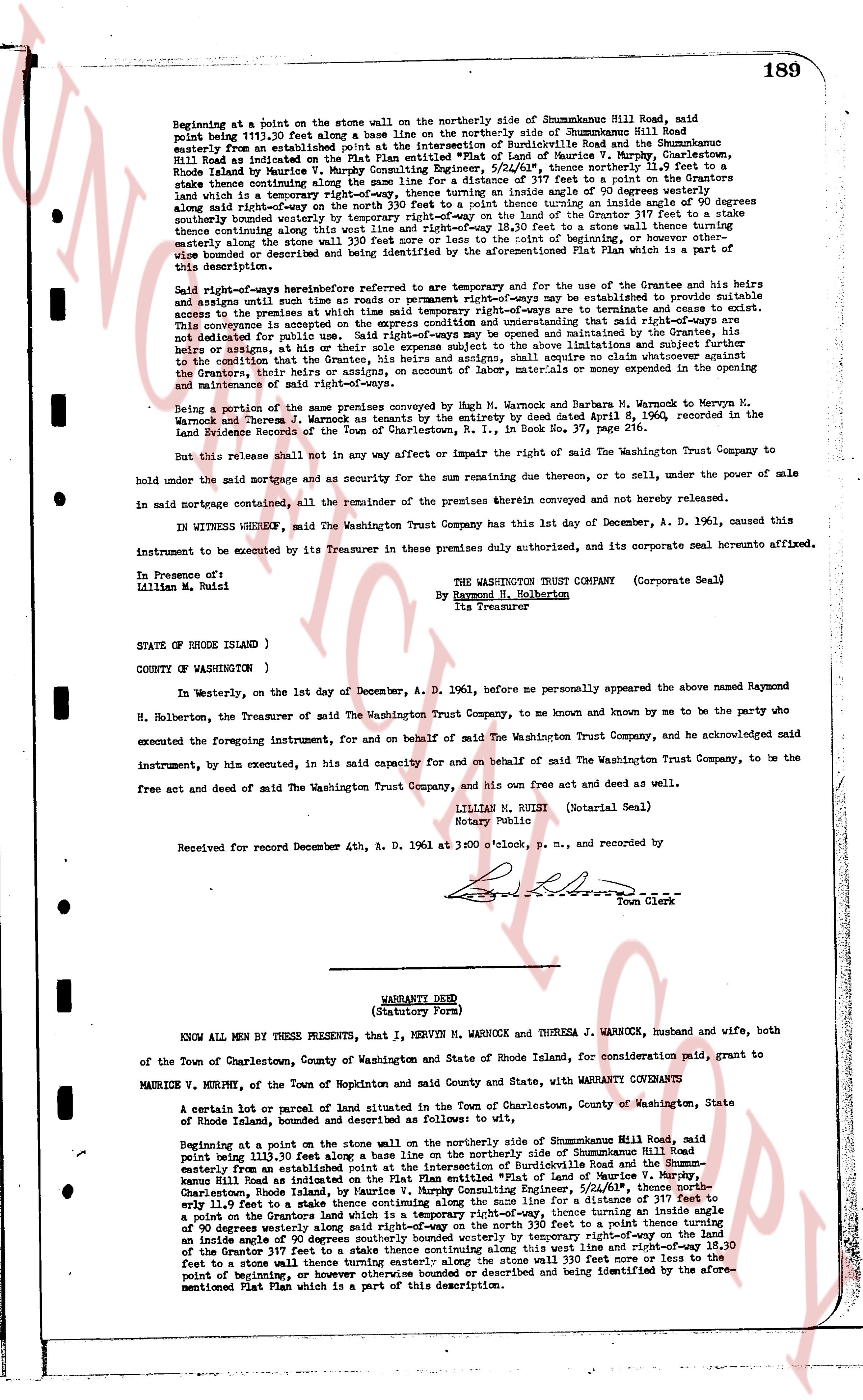
Beginning at a point on the stone wall on the northerly side of Shummobanne Hill Road, said point being 111.20 feet along a base line on the northerly side of Shummobanne Hill Road easterly from an established point at the intersection of Burdickville Road and the Shummobanne Hill Road as indicated on the Plat Plan attached hereto as Exhibit A, of Maurice V. Murphy, Chartered Surveyor, Rhode Island by Maurice V. Murphy Consulting Engineer, 5/24/61", thence northerly 11.9 feet to a stake thence continuing along the line for a distance of 317 feet to a point in a stone wall which is a terminus of a temporary right-of-way, thence turning an inside angle of 90 degrees westerly along said right-of-way extending on the north 330 feet to a stake thence turning an inside angle of 90 degrees northerly along said temporary right-of-way for a distance of 317 feet to a stake thence continuing along this west line and right-of-way 18.30 feet to a stone wall thence turning a westerly angle along the stone wall to the point of beginning, or otherwise bounded or described and being identified by the aforementioned Plat Plan which is a part of this description.
Said right-of-ways heretofore referred to are temporary and for the use and convenience of the Grantee and his heirs and assigns until such time as or unless permanent right-of-ways are to be established to provide suitable access to the parcels of land herein conveyed, at which time said temporary right-of-ways are to terminate.
This conveyance is accepted on the express condition and understanding that said right-of-ways are to be used solely as access to the parcels of land herein conveyed and maintained by the Grantee, his heirs and assigns, or others, or his heirs and assigns, but their sole expense subject to the above limitations and subject further to the condition that the Grantee, his heirs and assigns, shall acquire no claim whatever as to the Grantors, their heirs and assigns, for any cost or expense incurred by the Grantee or others in the opening and maintenance of said right-of-ways.
Being a portion of the same premises conveyed by M. Warnock and Barbara M. Warnock to Mervyn M. Warnock and Theresa J. Warnock by a Warranty Deed executed by the parties dated April 8, 1960, recorded in the Land Evidence Records of the Town of Charlestown, R.I., in Book No. 37, page 216.
But this release shall not in any way affect or impair the right of the Washington Trust Company to hold under the said mortgage and as security for the sum remaining due thereon, or to sell, under the power of sale in said mortgage contained, all the remainder of the premises therein conveyed and not hereby released.
IN WITNESS WHEREOF, the Washington Trust Company has this last day one December, A. D. 1961, caused this instrument to be executed by its Treasurer in these premises duly authorized, and to corporate seal hereunto affixed.
In Presence of:
Lillian M. Buoni
THE WASHINGTON TRUST COMPANY (Corporate Seal)
By Raymond H. Holbertson
Its Treasurer
STATE OF RHODE ISLAND )
COUNTY OF (WASHINGTON ) )
In Westerly, on the last day one December, A. D. 1961, before me personally appeared the above named Raymond H. Holbertson, the Treasurer of said the Washington Trust Company, to me known and by me to be the party who executed the foregoing instrument, for and on behalf of said the Washington Trust Company, and he acknowledged said instrument, by him executed, in his said capacity for and on behalf of said the Washington Trust Company, to be the free act and deed of said the Washington Trust Company, and his own free act and deed as well.
LILLIAN M. BUONI (Notarial Seal)
Notary Public
Received for record December 4th, A. D. 1961 at 3:00 o'clock, p. m., and recorded by
[Signature]
Town Clerk
----
WARRANTY DEED
(Statutory Form)
KNOW ALL MEN BY THESE PRESENTS, that I, MERVYN M. WARNOCK and THERESA J. WARNOCK, husband and wife, both of the Town of Charlestown, County of Washington and State of Rhode Island, for consideration paid, grant to
MAURICE V. MURPHY, of the Town of Hopkinton and said County and State, with WARRANTY COVENANTS to
A certain lot or parcel of land and parcel of land situated in the Town of Charlestown, County of Washington, State of Rhode Island, bounded and described as follows to wit:
Beginning at a point on the stone wall on the northerly side of Shummobanne Hill Road, said point being 111.20 feet along a base line on the northerly side of Shummobanne Hill Road easterly from an established point at the intersection of Burdickville Road and the Shummobanne Hill Road as indicated on the Plat Plan attached hereto as Exhibit A, of Maurice V. Murphy, Chartered Surveyor, Charlestown, Rhode Island, by Maurice V. Murphy Consulting Engineer, 5/24/61", thence northerly 11.9 feet to a stake thence continuing along the line for a distance of 317 feet to a point in a stone wall which is a terminus of a temporary right-of-way, thence turning an inside angle of 90 degrees westerly along said right-of-way extending on the north 330 feet to a stake thence turning an inside angle of 90 degrees northerly along said temporary right-of-way for a distance of 317 feet to a stake thence continuing along this west line and right-of-way 18.30 feet to a stone wall thence turning a westerly angle along the stone wall to the point of beginning, or otherwise bounded or described and being identified by the aforementioned Plat Plan which is a part of this description.
page 2 · read by Gemma vision
190
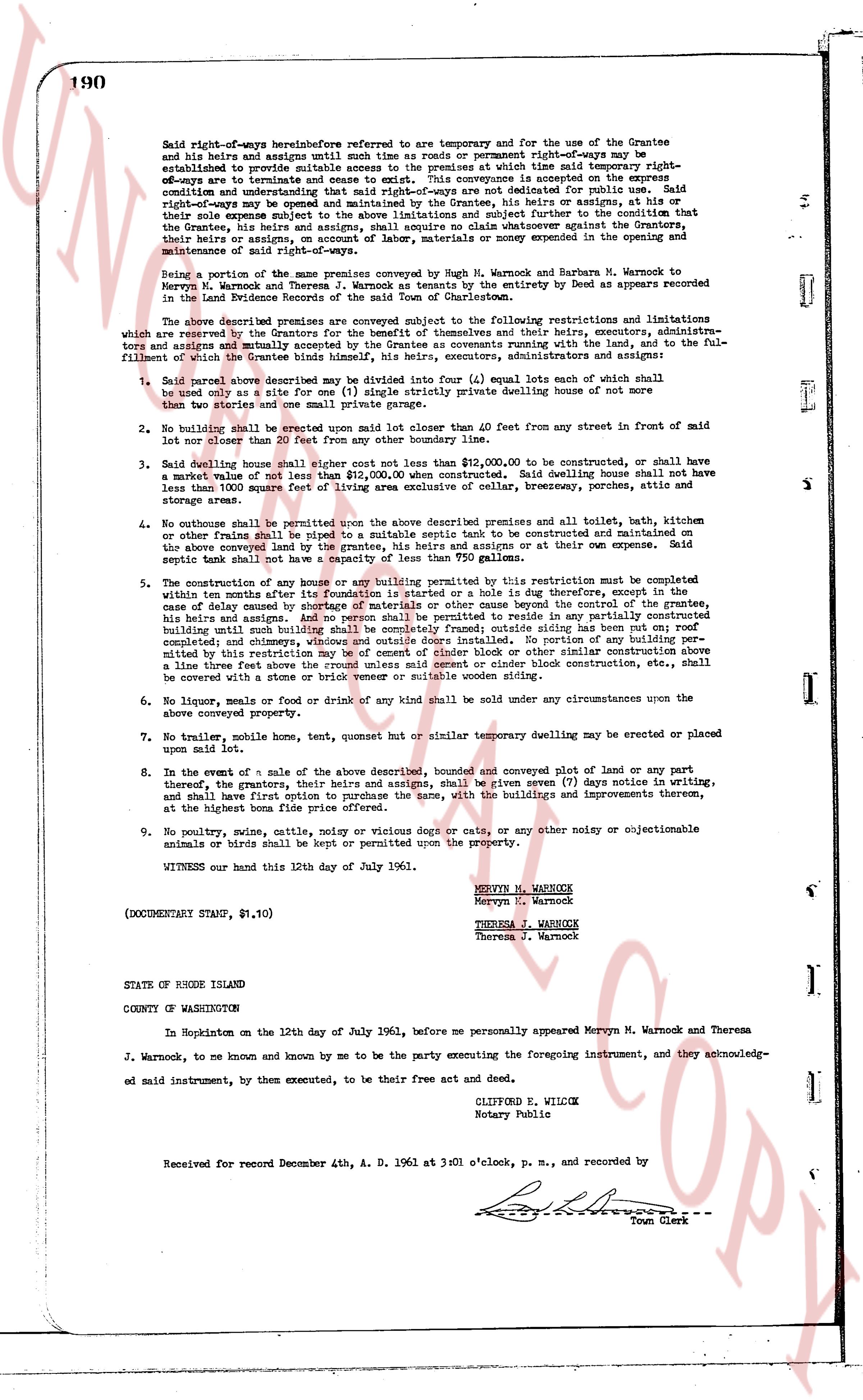
Said right-of-ways hereinbefore referred to are for temporary and for the use of the Grantee and his heirs and assigns until such time as roads or permanent right-of-ways may be established to provide suitable access to the premises at which time said temporary right-of-ways be terminated and shall be restored to the same condition in which it existed on the same condition and understanding that said right-of-ways are not dedicated for public use. Said right-of-ways may be opened and maintained by the Grantee, his heirs and assigns, or others, all or any of them, their heirs subject to a written agreement to be made subject further to the condition that the Grantee, his heirs and assigns, shall acquire no claim or cause of action against the Grantors, their heirs and assigns, or any other person, for any money spent in the opening and maintenance of said right-of-ways.
Being a portion of the same premises conveyed by Hugh M. Warnock and Barbara Warnock to Mervyn M. Warnock and Theresa J. Warnock as tenants by the entirety by Deed as appears recorded in the Land Evidence Records of the Town of Charlestown.
The above described premises are conveyed subject to the following restrictions and limitations which are agreed by the Grantors, their heirs, executors, administrators and assigns, and their heirs, executors, administrators and assigns mutually and accepted by the Grantee as covenants running with the land, and to the fulfillment of which the Grantee binds himself, his heirs, executors, administrators and assigns:
1. Said parcel above described may be subdivided into three (3) lots (equal) lots each of which shall be not less than a size of forty (40) feet single streetage subdividing dwelling house of not more than two stories and one small private garage only.
2. No building shall be erected upon said lot less than 40.00 feet from any street in front of said lot or less than 20 feet from the side property line.
3. Said dwelling house shall cost not less than $12,000.00 to be constructed, or shall have a market value of not less than $12,000.00 when constructed. Said dwelling house shall not have less than 1000 square feet of living space. Any detached garage, breezeway, porch or patio, storage areas.
4. No outdoor shale or privy shall be permitted on the above described premises and all toilets, bath, showers or other plumbing shall be piped to a suitable septic tank to be constructed and maintained on the above land conveyed by the grantors, his heirs and assigns or at their own expense. Said septic tank capacity shall not be less than 750 gallons.
5. The construction of any house or any building permitting this restriction must be completed within one year after the filing of this deed or in the case of a hole is dug therefore, except in the case delayed by cause of materials of others or other cause beyond the control of the grantee, his heirs and assigns. No building shall be permitted to be erected nor reside in any partially constructed building until such building shall be completely framed; outside siding has been put on roof completed and closed, and water, electricity, and sewage, or a portion of each requirement limited by this restriction may be of cement block or other similar construction above a line three feet above the natural grade of the ground. Under block construction, etc., shall be covered with a brick or stone veneer or suitable wording solution.
6. No liquor, meals or drink of any kind shall be sold under any circumstances upon the above conveyed property.
7. No trailer, mobile home, tent, quonset hut or similar temporary dwelling may be erected or placed upon said lot.
8. In the event of a sale of the above described, bounded and conveyed lot of land or any part thereof, the grantors, their heirs and assigns, shall be given seven (7) days notice in writing, and shall have first option to purchase said lot and the same, with the buildings and improvements thereon, at the highest bona fide price offered.
9. No poultry, swine, cattle, noisy or vicious dogs or cats, or any other noisy or objectionable animals or birds shall be kept or permitted upon the property.
WITNESS our hand this 12th day of July 1961.
MERVYN M. WARNOCK
Mervyn M. Warnock
THERESA J. WARNOCK
Theresa J. Warnock
(DOCUMENTARY STAMP, $1.10)
STATE OF RHODE ISLAND
COUNTY OF WASHINGTON
In Hopkinton on the 12th day of July 1961, before me personally appeared Mervyn M. Warnock and Theresa J. Warnock, to me known and known by me to be the party executing the foregoing instrument, and they acknowledged said instrument, by them executed, to be their free act and deed.
CLIFFORD E. WILCOX
Notary Public
Received for record December 4th, A.D. 1961 at 3 o'clock, p.m., and recorded by
[Signature]
Town Clerk
The page as recorded