The instrument's own words
page 1 · read by Gemma vision
163
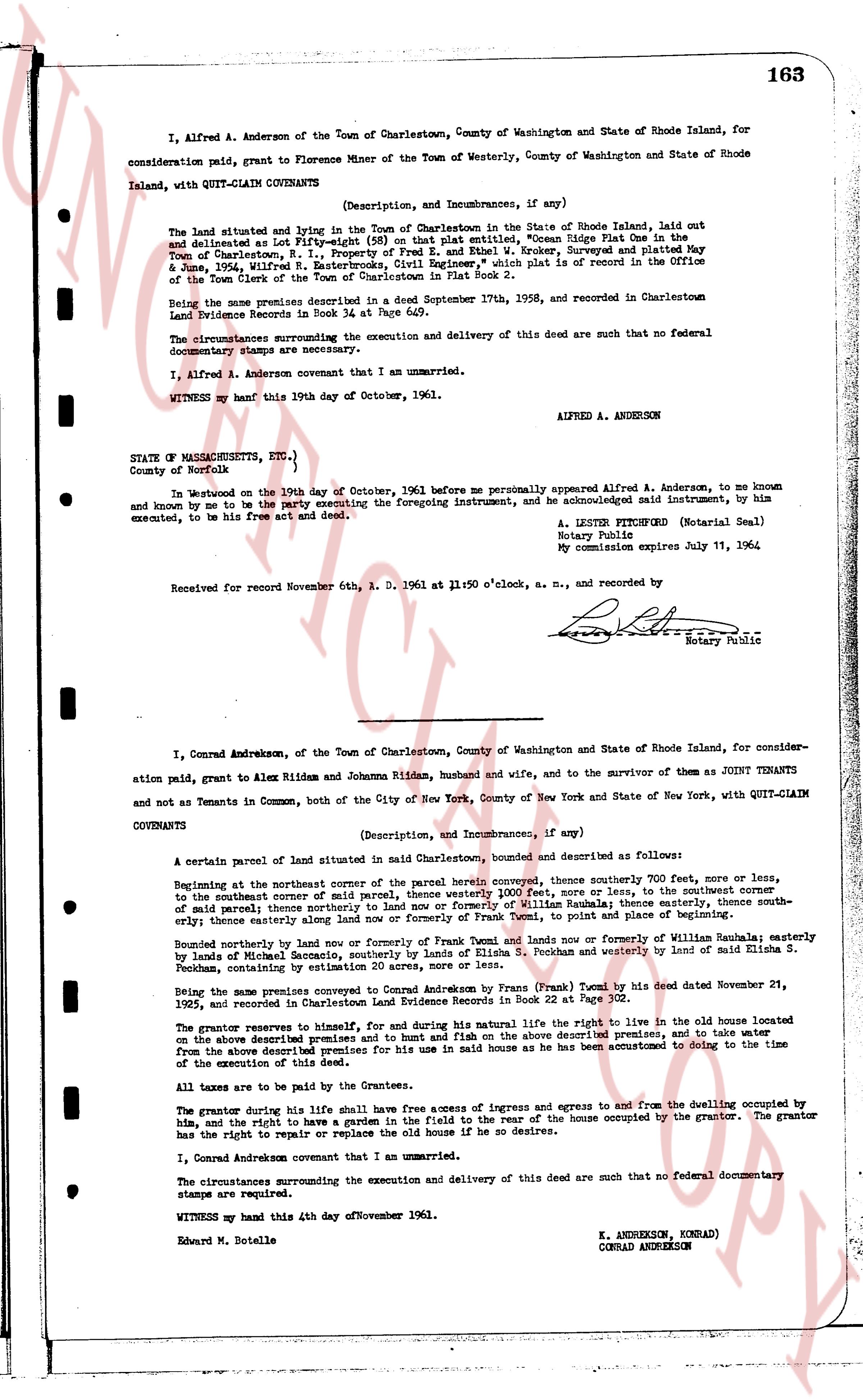
I, Alfred A. Anderson of the Town of Charlestown, County of Washington and State of Rhode Island, for consideration paid, grant to Florence Miner of the Town of Westerly, County of Washington and State of Rhode Island, with QUIT-CLAIM COVENANTS
(Description, and Incumbrances, if any)
The land situated and lying in the Town of Charlestown in the State of Rhode Island, laid out and delineated as Lot Fifty-eight (58) on that Plat entitled, "Ocean Ridge Plat One in the Town of Charlestown, R.I.," Property of Fred E. and Ethel W. Kroker, Surveyed and Platted May 4th, 1960, Alfred R. Anderson, Civil Engineer, and such Plat is of record in the Office of the Town Clerk of the Town of Charlestown in Plat Book 2.
Being the same premises described in a Deed September 17th, 1958, and recorded in Charlestown Land Evidence Records in Book 34 page 629.
The circumstances surrounding the execution and delivery of this deed are such that no federal documentary stamps are required.
I, Alfred A. Anderson covenant that I am an unmarried.
WITNESS my hand this 19th day of October, 1961.
ALFRED A. ANDERSON
STATE OF MASSACHUSETTS, ETC.)
County of Norfolk)
On this Woodburn on the 19th day of October, 1961 before me personally appeared Alfred A. Anderson, to me known and known to me to be the party executing the foregoing instrument, and acknowledged said instrument, by him executed, to be his free act and deed.
A. LESTER PITTSBURGH (Notarial Seal)
Notary Public
My commission expires July 11, 1964
Received for record November 6th, A. D. 1961 at 11:50 o'clock, a. m., and recorded by
[Signature]
Deputy Public
----
I, Conrad Andreksen, of the Town of Charlestown, County of Washington and State of Rhode Island, for consideration paid, grant to Alex Ridden and Johanna Ridden, husband and wife, and to the survivor of them as JOINT TENANTS and not as Tenants in Common, both of the City of New York, City of New York and State of New York, with QUIT-CLAIM COVENANTS
(Description, and Incumbrances, if any)
A certain parcel of land situated in said Charlestown, bounded and described as follows:
Beginning at the northeast corner of the parcel herein conveyed, thence southerly 200 feet, more or less, to the southeast corner of said parcel of land, thence westerly 1000 feet, more or less, to the southwest corner of said parcel, thence northerly 200 feet, more or less, to the northwest corner, thence easterly, thence southeastly, thence easterly once again thence easterly along land now or formerly of Frank Tumel and now, to point of place and beginning of same.
Bounded northerly by land now or formerly in possession of Frank Tumel and land now or formerly of William Sabala; easterly by land of Richard G. Sabala and land now or formerly of William Sabala; southerly by land of Elida S. Peckham, containing an estimate 20 acres, more or less.
Being the same premises conveyed to Conrad Andreksen by Frank Tumel by a deed dated November 21, 1925, and recorded in Charlestown Land Evidence Records in Book 22 page 302.
The grantor reserves to himself, for and during his natural life the right to live in the cld house located on the above described premises and to fish and hunt fish on the above described premises, and to take water from the above described premises for his own use in his home as he has been accustomed to doing to the time of the execution of this deed.
All taxes are to be paid by the Grantees.
The grantor during his life shall have free access of ingress and egress to and from the dwelling occupied by him, and the right to have a garden in the field to the rear of the house occupied by the grantor. The grantor has the right to repair or replace the old home if he so desires.
I, Conrad Andreksen covenant that I am an unmarried.
The circumstances surrounding the execution and delivery of this deed are such that no federal documentary stamps are required.
WITNESS my hand this 4th day of November 1961.
K. ANDREKSON, KONRAD)
CONRAD ANDREKSON
Edward M. Botelle
The page as recorded