The instrument's own words
page 1 · read by Gemma vision
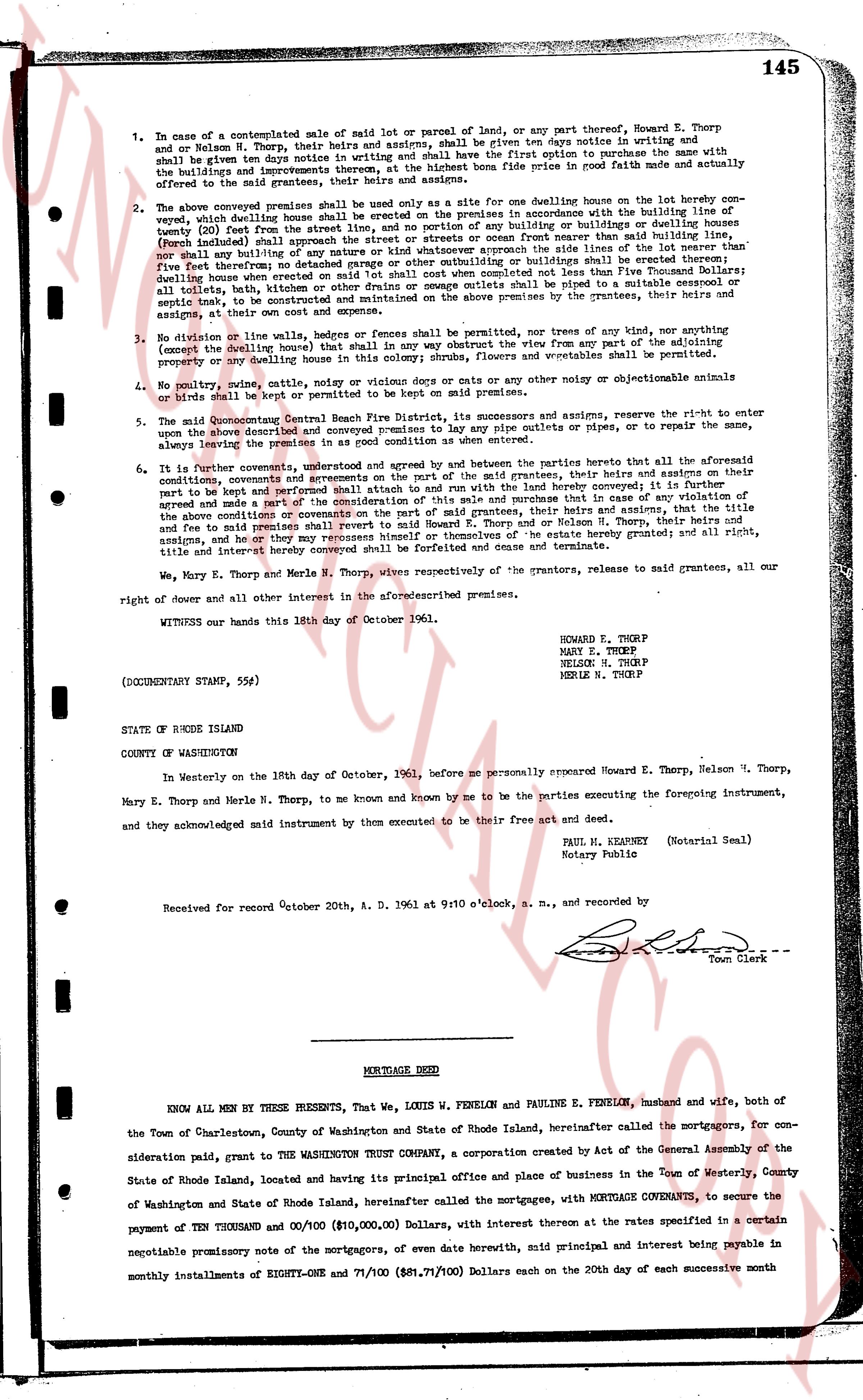
145
1. In case of a contemplated sale of maid lot or parcel of land, or any part thereof, Howard E. Thorp and Nelson H. Thorp, their heirs and assigns, shall be given ten days notice in writing and shall have the first option to purchase said lot or parcel of land at the same price and upon the same terms with the buildings and improvements thereon, at the highest bona fide price offered to the said grantees, their heirs and assigns.
2. The above conveyed premises shall be used only as a site for one dwelling house on the lot hereby conveyed, which dwelling house shall be situated on the premises in accordance with the building line of twenty (20) feet from the street line, and no portion of any building or buildings or fences or walls or porches (including enclosed porches) shall extend beyond the building line or screen front nearer than said building line, nor shall any building or annex of any nature whatsoever approach the side lines of the lot nearer than five (5) feet however deep or narrow the depth of the lot may be. No buildings shall be erected on the premises other than dwelling house when erected on said lot shall commence not completed less than Five Thousand Dollars; all toilets, baths, tubs, showers, sinks, urinals and other plumbing shall be piped to a sealed septic tank or septic tank, to be constructed and maintained on the above premises by the grantees, their heirs and assigns, at their own cost and expense.
3. No division of lot or line, hedges or fences be permitted on the premises, nor trees of any kind, nor any other construction (except the dwelling house) that in any way shall obstruct the view from any part of the adjoining property or any dwelling house in this colony shrubs, flowers and vegetables shall be permitted.
4. No poultry, canine, catline, noisy or vicious dogs or rats or cats or any other noisy or objectionable animals or pets shall be kept or allowed upon the premises.
5. The Quidnocontinental Central Beach Fire District, its successors and assigns, reserve the right to enter upon the above described and conveyed premises to lay any pipe conduits or pipes, or to repair the same, above or below the ground.
6. It is further covenant, understood and agreed by and between the parties hereto that all the aforesaid conditions, covenants and agreements on the part of the said grantees, their heirs and assigns on their part to keep and perform the said conditions, covenants and agreements hereby conveyed that in case of any violation of the above and conditions or any part of the consideration of the missile sale and purchase that in case of any violation of the above and conditions the property shall revert to said Howard E. Thorp and Nelson H. Thorp, their heirs and assigns, and he and fee to said remaindermen shall revert to said Howard E. Thorp and Nelson H. Thorp, their heirs and assigns, and he or they may repossess himself or themselves of the estate hereby granted; and all right, title and interest hereby conveyed shall revert to said remaindermen.
We, Mary E. Thorp and Merle N. Thorp, wives respectively of the grantors, release to said grantees, all our right of dower and all other interest in the aforementioned premises.
WITNESS our hands this 18th day of October 1961.
HOWARD E. THORP
MARY E. THORP
NELSON H. THORP
MERLE N. THORP
(DOCUMENTARY STAMP, 55¢)
STATE OF RHODE ISLAND
COUNTY OF WASHINGTON
In Westerly on the 18th day of October, 1961, before me personally appeared Howard E. Thorp, Nelson H. Thorp, Mary E. Thorp and Merle N. Thorp, to me and known by me to be the parties executing the foregoing instrument, and they acknowledged said instrument by them executed to be their free act and deed.
PAUL H. KEARNEY (Notarial Seal)
Notary Public
Received for record October 20th, A. D. 1961 at 9:10 o'clock, a. m., and recorded by
[Signature]
Town Clerk
----
MORTGAGE DEED
KNOW ALL MEN by THESE PRESENTS, That, we, LOUIS W. FENELON and PAULINE E. FENELON, husband and wife, both of the Town of Charlestown, County of Washington and State of Rhode Island, hereinafter called the mortgagors, For consideration paid, grant to THE WASHINGTON TRUST COMPANY, a corporation created by Act of the General Assembly of the State of Rhode Island, located and having its principal office and place of business in the Town of Westerly, County of Washington and State of Rhode Island, hereinafter called the mortgagees, with MORTGAGE COVENANTS, to secure the payment of TEN THOUSAND and 00/100 Dollars ($10,000.00), Dollars, with interest thereon at the rates specified in a certain negotiable promissory note of the mortgagors, of even date herewith, mid principal and interest being payable in monthly installments of EIGHTY-ONE and 71/100 ($81.71/100) Dollars each on the 20th day of each successive month
page 2 · read by Gemma vision
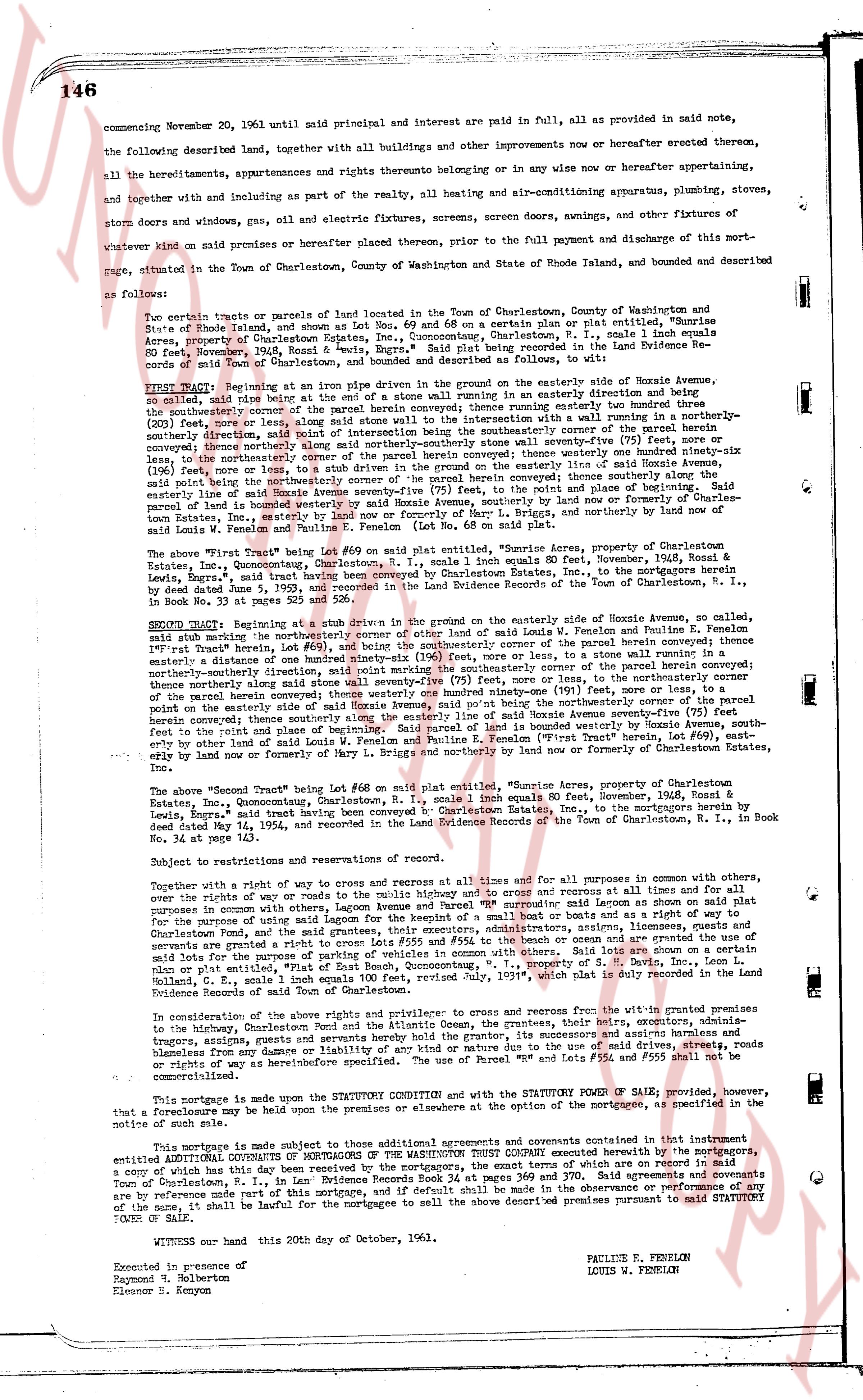
146
commencing November 20, 1961 until said principal and interest are paid in full, all as provided in said note,
the following described land, together with all buildings and other improvements now or hereafter erected thereon,
all the hereditaments, appurtenances and rights thereunto belonging or in any wise now or hereafter appertaining,
and together with and including as part of the realty, all heating and air-conditioning apparatus, plumbing, stoves,
storm doors and windows, gas, electric and all electric fixtures, screens, screen doors, awnings, and other fixtures of
whatever kind on said premises or hereafter placed thereon, prior to the full payment and discharge of this mort-
gage, situated in the Town of Charlestown, County of Washington and State of Rhode Island, and bounded and described
as follows:
Two certain tracts or parcels of land located in the Town of Charlestown, County of Washington and State of
Rhode Island, and shown as Lot Nos 69 and 68 on a certain plan or plat evidence, titled "Burnside
Acres, property of Charlestown Estates, Inc.", Charlestown, R. I., said lots being part of the "Burnside
Acres" development, said lots being hereinafter referred to as "said Property." Said plat being recorded in the Land Evidence Re-
cord of said Town, Book 31, page 145. Said Property being bounded and described as follows, to wit:
FIRST TRACT: Beginning at an iron pipe driven in the ground on the easterly side of Noxie Avenue, an
easterly line being a line running north 15 degrees 30 minutes east as an easterly direction and being
(20) feet wide, being a line running along the easterly side of Noxie Avenue, and running so northerly to
the northeasterly corner of the parcel herein conveyed; thence running easterly one hundred twenty three
(123) feet, more or less, to a stone wall running in a northerly direction and being a line running northerly-
northeasterly direction, said point marked by the intersection between the southeasterly corner of the parcel herein
conveyed and the southeasterly corner of the adjoining parcel; thence running northerly one hundred ninety-six
(196) feet, or less, to the northeasterly corner of the parcel herein conveyed thence westerly one hundred ninety-six
(196) feet, more or less, to the northeasterly corner of the parcel herein conveyed; thence southerly along the
easterly line of said Noxie Avenue to the point of beginning. Said parcel being bounded on the east by lands of Char-
lestown Estates, Inc., westerly by land now or formerly of Harry L. Briggs, and northerly by land of now or for-
merly of Charlestown Estates, Inc., westerly by land now or formerly of Charlestown Estates, Inc.
The above "First Tract" being Lot #69 on said plat entitled "Burnside Acres, property of Charlestown Estates,
Inc.", Estates, Inc., Quonsetuangan, Charlestown, R. I., one single 1 equal 80 feet, November, 1936, Record &
Estates, Inc., Quonsetuangan, Charlestown, R. I., one single 1 equal 80 feet, November, 1936, to the mortgagors herein
by deed dated June 5, 1953 and recorded in the Land Evidence Records of the Town of Charlestown, R. I., in
Book No 33, page 145.
SECOND TRACT: Beginning at a stake driven in the ground on the easterly side of Noxie Avenue, so called,
said stake being midway the northerly corner of the other side of land owned by Louis W. Fenelon and Pauline E. Fenelon
"First Tract" herein, Lot #69, east running easterly to the northeasterly corner of the parcel herein conveyed; thence running
easterly a distance of one hundred ninety-six (196) feet, more or less, to a stone wall running in a northerly-
northeasterly direction, said point marked by the intersection between the southeasterly corner of the parcel herein
conveyed and the southeasterly corner of the adjoining parcel; thence running northerly (75) feet, more or less, to the northeasterly
corner of the parcel herein conveyed; thence westerly one hundred ninety-six (196) feet, more or less, to the northeasterly
corner of the parcel herein conveyed; thence southerly along the easterly line of said Noxie Avenue, to the point of begin-
ning. Said parcel being bounded on the east by lands of Charlestown Estates, Inc., westerly bounded by Noxie Avenue, south-
erly by other land of said Louis W. Fenelon and Pauline E. Fenelon ("First Tract" herein, Lot #69), east-
erly by land now or formerly of Harry L. Briggs.
The above "Second Tract" being Lot #68 on said plat entitled "Burnside Acres, property of Charlestown Estates,
Inc.", Estates, Inc., Quonsetuangan, Charlestown, R. I., one single 1 equal 80 feet, November, 1936, Record &
Estates, Inc., Quonsetuangan, Charlestown, R. I., one single 1 equal 80 feet, November, 1936, to the mortgagors herein by
deed dated May 24, 1956, and recorded in the Land Evidence Records of the Town of Charlestown, R. I., in
Book No 33, page 145.
Subject to restrictions and reservations of record.
Together with a right of way to access and egress at all times and now and for all purposes in common with others, and
others for the use of rights of way or roads to the public highway and to access and to cross and recross at all times and for
all purposes in common with others, the right of way as more particularly described as continuing south along an easement on plat
for the purpose of using said ways or lot for the keeping of a small boat or boats and as a right of way to the shore of
Charlestown Pond and to the Atlantic Ocean. Together with all easements, appurtenances, fixtures, improvements and
servitudes granted or prior to access Lot #68 and Lot #69, the beach and ocean and the granite used as the wall of the
said lots, and the right to use the beach and ocean. Together with the rights and privileges of the land as shown on
plan or plat entitled, "94 feet of Beach East, Quonsetuangan," R. I., property of S. B. Davis, Inc., Loten L.
Bolland, etc., 1 equal 80 feet, November, 1936, recorded July 1954, "Book 31, page 145" of the Land Evidence
Records of said Town of Charlestown.
In consideration of the above rights and privileges and covenants to exercise the rights within the granted premises
to the highway, Charlestown Pond and the Atlantic Ocean, the grantors, their heirs, executors, administrators and assigns
forever, granting, selling and conveying to the grantee, their heirs, executors, administrators and assigns harmless and
blameless from any damage or liability of any kind or nature due to the use of said lots, and the right to use Lot #68 and
Lot #69 as well as their hereditaments specified. The use of Parcel Lot #68 and #69 shall not be
commercialized.
This mortgage is made upon the STATUTORY CONDITION and with the STATUTORY POWER OF SALE, provided however,
that a foreclosure may be held before the expiration of time, at the option of the mortgagees, as specified in the note
of this mortgage.
This mortgage is made subject to those additional agreements and covenants contained in that instrument entitled
ADDITIONAL COVENANTS OF MORTGAGORS OF THE WASHINGTON TRUST COMPANY executed herewith by the mortgagors,
a copy of which has this day been received by the mortgagors, the exact terms of which are on record in the
Town of Charlestown, R. I., in the Land Evidence Records, recorded at the same time and date. All agreements and covenants
are as binding as if made part of this mortgage, and if default shall be made in the observance or performance of any
of the same, it shall be lawful for the mortgagees to sell the above described premises pursuant to said STATUTORY
POWER of sale.
WITNESS our hand this 20th day of October, 1961.
PAULINE E. FENELON
LOUIS W. FENELON
Executed in presence of:
Raymond E. Holberton
Eleanor S. Kenyon
page 3 · read by Gemma vision
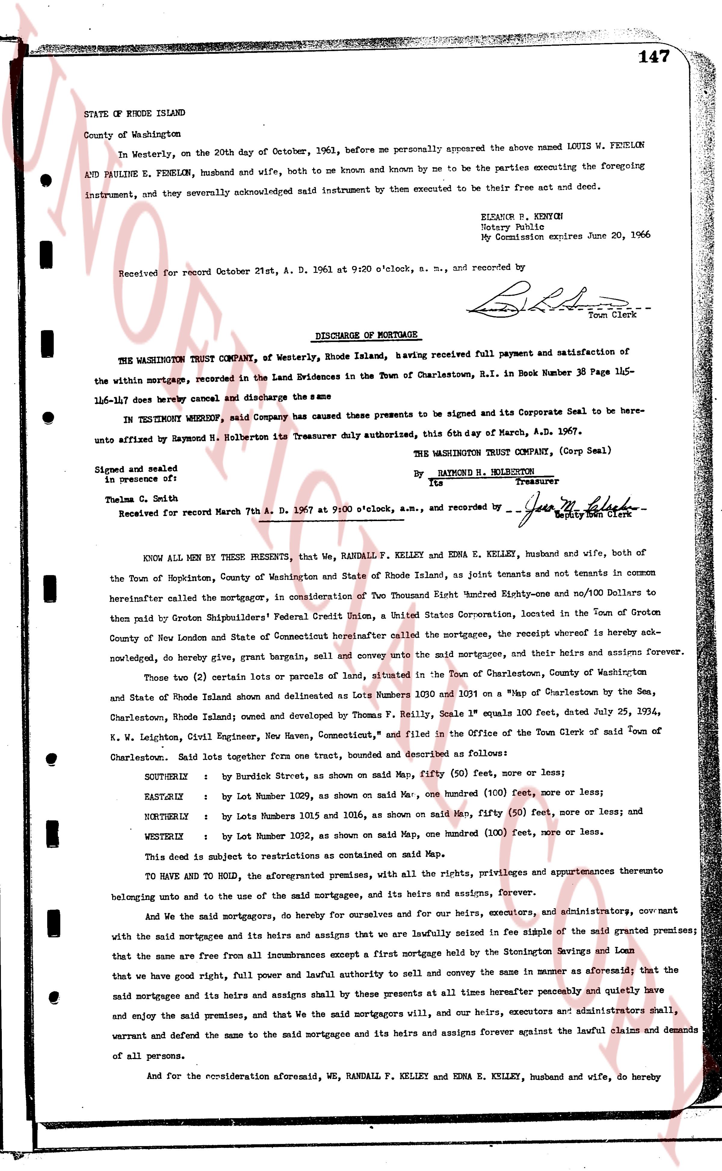
147
STATE OF RHODE ISLAND
County of Washington
In Westerly, on the 20th day of October, 1963, before me personally appeared the above named LOUIS W. FENELON AND PAULINE E. FENELON, husband and wife, both to me known and known by me to be the parties executing the foregoing instrument, and severely acknowledged said instrument by them to be executed by them to be their free act and deed.
ELIZABETH R. KENTH[?]
Notary Public
My Commission expires June 20, 1966
Received for record October 21st, A. D. 1961 at 9:20 o'clock, a. m., and recorded by [signature]
Town Clerk
----
DISCHARGE OF MORTGAGE
THE WASHINGTON TRUST COMPANY, of Westerly, Rhode Island, having received full payment and satisfaction of the within mortgage, recorded in the Land Evidences in the Town of Charlestown, R.I. in Book Number 38 Page 145-146-147 does hereby cancel and discharge the same
IN TESTIMONY WHEREOF, said Company has caused these presents to be signed and its Corporate Seal to be hereunto affixed by Raymond N. Holbertson its Treasurer duly authorized, this 6th day of March, A.D. 1967.
THE WASHINGTON TRUST COMPANY, (Corp Seal)
By RAYMOND N. HOLBERTON
Treasurer
Signed and sealed
in presence of:
Thelma C. Seth
[signature]
Deputy Town Clerk
Received for record March 7th A. D. 1967 at 9:00 o'clock, a.m., and recorded by [signature]
KNOW ALL MEN BY THESE PRESENTS, that We, RANDALL F. KELLEY and EDNA E. KELLEY, husband and wife, both of the Town of Hopkinton, County of Washington and State of Rhode Island, as joint tenants only, and not tenants in common to everyone hereinafter called the mortgagor, in Consideration of Two Thousand Eight Hundred Eighty-one and no/100 Dollars to then paid by Groton Shipbuilders' Federal Credit Union, a United States Corporation, located in the Town of Groton County of New London and State of Connecticut hereinafter called the mortgagee, the receipt whereof is hereby acknowledged, do hereby give, grant, bargain, sell and convey unto the said mortgagee, and their heirs and assigns forever.
Those two (2) certain lots or parcels of land of, situated in the Town of Charlestown, County of Washington and State of Rhode Island shown and delineated as lots Number 1030 and 1031 on a "Map of Charlestown by the Town, Charlestown, Rhode Island" executed by Thomas F. Reilly, Scale 1" equals 100 feet, dated July 25, 1934, W. N. Leighton, Civil Engineer, now owned and conveyed in the Office of the Town Clerk of said Town of Charlestown. Said lots together form one tract, bounded and described as follows:
SOUTHERLY : by Burdick Street, as shown on said Map, fifty (50) feet, more or less;
EASTERLY : by Lot Number 1029, as shown on said Map, one hundred (100) feet, more or less;
NORTHERLY : by Lots Number 1031 and 1036, as shown on said Map, fifty (50) feet, more or less; and
WESTERLY : by Lot Number 1028, as shown on said Map, one hundred (100) feet, more or less.
This deed is subject to restrictions as contained on said Map.
TO HAVE AND TO HOLD, the aforesaid premises, with all the rights, privileges and appurtenances thereto belonging unto and to the use of the said mortgagee, and its heirs and assigns, forever.
And We the said mortgagors, do hereby for ourselves and for our heirs, executors, and administrators, covenant with the said mortgagee and its heirs and assigns that we are lawfully seized in fee simple of the said granted premises; that the same are free from all incumbrances except a first mortgage held by the Stonington Savings and Loan that we have good right, full power and lawful authority to sell and convey the same in a manner aforesaid; that the said mortgagee and its heirs and assigns shall by these presents at all times hereafter peaceably and quietly have and enjoy the said premises, and that We the said mortgagors will, and our heirs, executors and administrators shall, warrant and defend the same to the said mortgagee and its heirs and assigns forever against the lawful claims and demands of all persons.
And for the consideration aforesaid abovementioned, We, RANDALL F. KELLEY and EDNA E. KELLEY, husband and wife, do hereby
The page as recorded