The instrument's own words
page 1 · read by Gemma vision
127
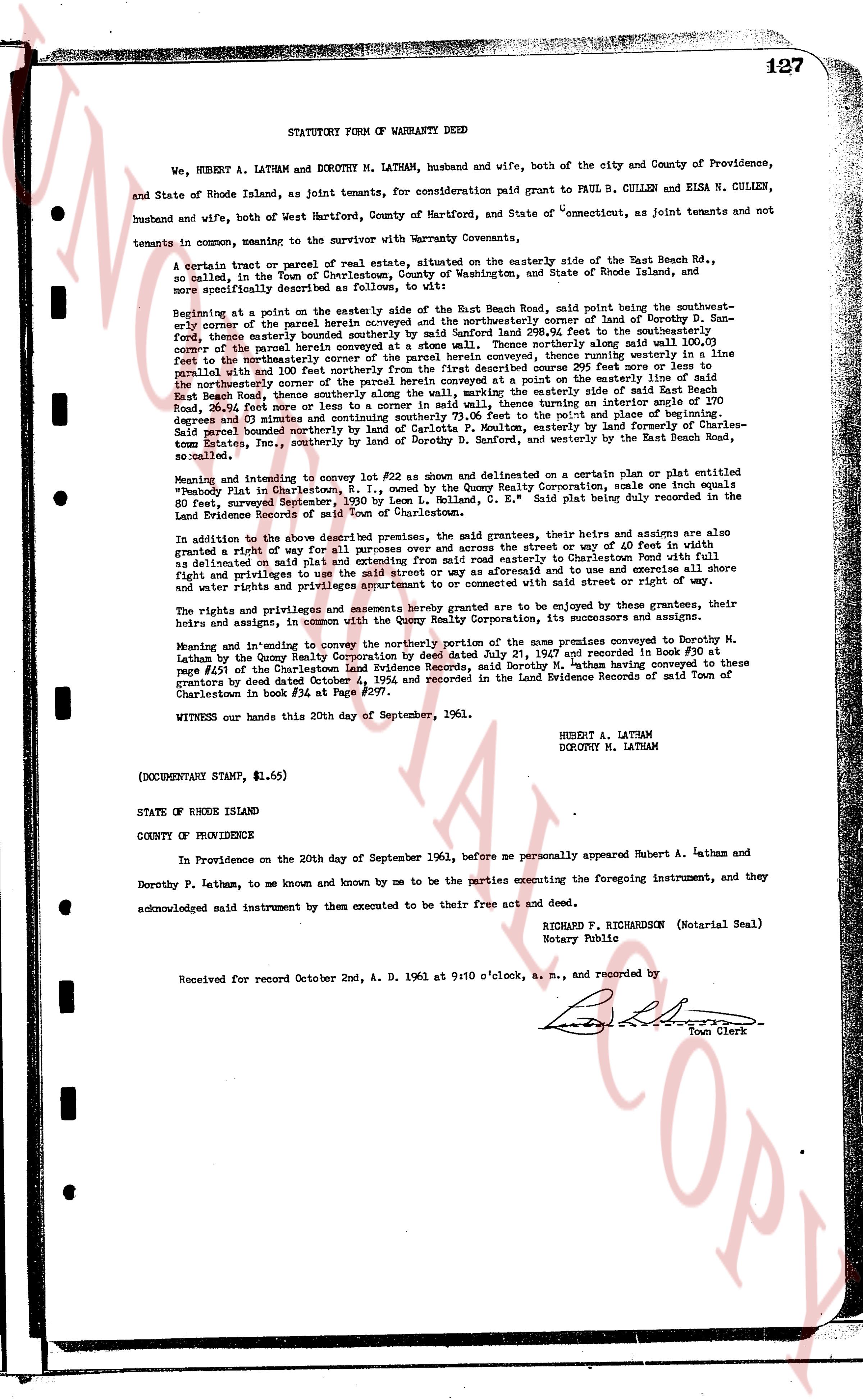
STATUTORY FORM OF WARRANTY DEED
We, HUBERT A. LATHAM and DOROTHY M. LATHAM, husband and wife, both of the city and County of Providence, and State of Rhode Island, as joint tenants, for consideration paid grant to PAUL B. CULLEN and ELSA N. CULLEN, husband and wife, both of West Hartford, County of Hartford, and State of "Connecticut", as joint tenants and not tenants in common, meaning to the survivor with Warranty Covenants,
A certain tract or parcel of real estate, situated on the easterly side of the East Beach Rd., so called, in the Town of Charlestown, County of Washington, and State of Rhode Island, and more specifically Described as follows:
Beginning at a point on the easterly side of the easterly side of the East Beach Road, said point being the southwesternly corner of the parcel herein conveyed and the northeasterly corner of lot 4 belonging to Dorothy S. Latham, thence easterly 100.00 feet to the northeasterly corner of said parcel, thence southerly 200.00 feet to the southwesternly corner of the parcel herein conveyed at a stone wall. Thence northerly along said wall 100.00 feet to the northeasterly corner of said parcel. Thence easterly, then southerly along the easterly line of the parcel, and with 100 feet northerly from the first described convey 295 feet more or less to the easterly line of the parcel bounded northerly from the first corner parcel beginning at a point on the easterly side of East Beach Road, 26.04 feet hence to a corner in a wall said wall, thence turning an interior angle of 120 degrees 00 minutes to the northeasterly corner of the parcel at the point where it joins the boundary of Charles Estate, Inc., southeasterly 100 feet to a corner in a wall, and northerly by the line of the parcel bounded northerly by the land of carolina of Poulton, easterly by land of forestry of Charles-Estate, Inc., southeasterly 100 feet to a corner in a wall, and westerly by the line of the parcel herein so called.
Meaning and referring to convey lot #D2 as shown and delimited on a certain plan or plat estimate of "Beach Plot in Charlestown, R. I.", owned by the Quony Realty Corporation, scale one inch equals 50 feet, surveyed September 1936, by Leon L. Holland, C. E., said plat being duly recorded in the Land Evidence Records of said Town of Charlestown.
In addition to the above described premises, the above grantees, their heirs and assigns are also granted in addition a right of way for ingress and egress and across the street or way of 60 feet in width and right of way and privileges to use and enjoy the road from said property to Charlestown Rd. 1961 as delimited on said plat and estimate and across from said road to the aforesaid and to use and exercise all shore and water rights and privileges appurtenant or to be connected with said street or right of way.
The rights and privileges and easements hereby granted are to be enjoyed by these grantees, their heirs and assigns, in common with the grantors and others who are entitled to its concurrent use and enjoyment.
Meaning and intending to convey the northerly portion of the same premises conveyed to Dorothy M. Latham by the Quony Realty Corporation by deed dated July 21, 1947 and recorded in Book #30 at page #451 of the Charlestown Land Evidence Records, said Dorothy M. Latham having conveyed these premises by deed dated October 21, 1954 and recorded in the Land Evidence Records of said Town of Charlestown in book #34 at Page #297.
WITNESS our hands this 20th day of September, 1961.
HUBERT A. LATHAM
DOROTHY M. LATHAM
(DOCUMENTARY STAMP, $1.65)
STATE OF RHODE ISLAND
COUNTY OF PROVIDENCE
In Providence on the 20th day of September 1961, before me personally appeared Hubert A. Latham and Dorothy P. Latham, to me known and known by me to be the parties executing the foregoing instrument, and they acknowledged said instrument by them executed to be their free act and deed.
RICHARD F. RICHARDSON (Notarial Seal)
Notary Public
Received for record October 2nd, A. D. 1961 at 9:10 o'clock, a. m., and recorded by
[Signature]
Town Clerk
The page as recorded