The instrument's own words
page 1 · read by Gemma vision
106
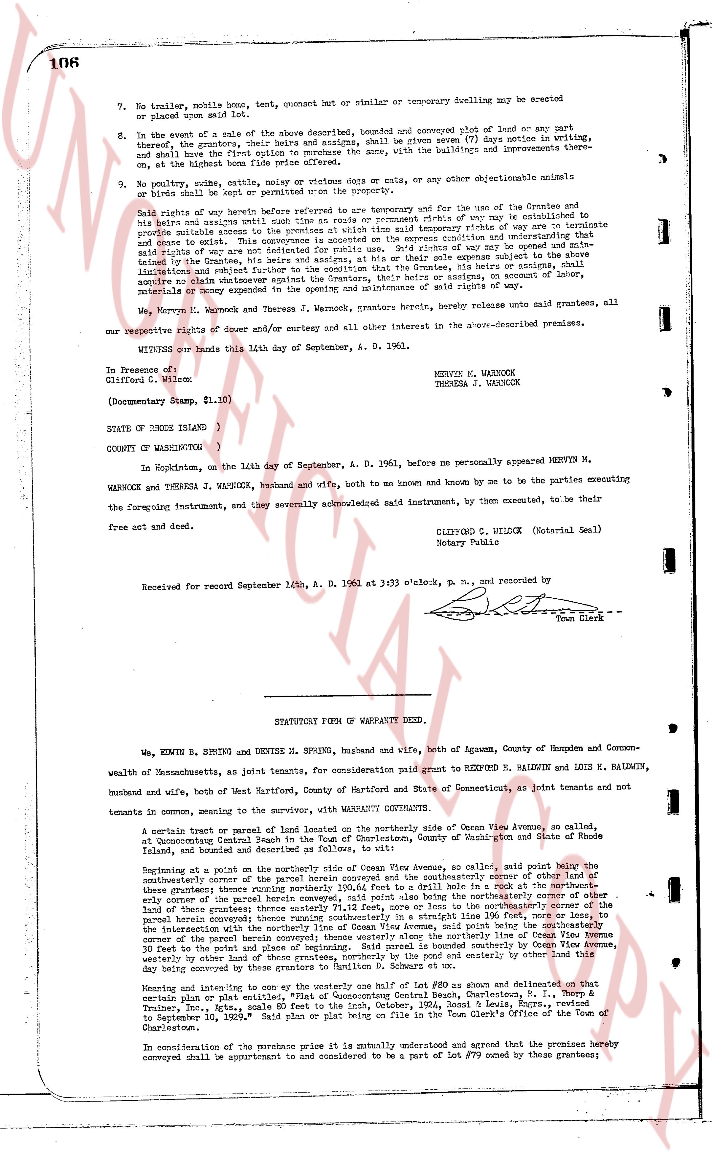
7. No trailer, mobile home, tent, quonset hut or similar or temporary dwelling may be erected or placed upon said land.
8. In the event of a sale of the above described, bounded and conveyed subject of land or any part thereof, the grantors, their heirs and assigns, shall be given seven (7) days notice in writing, and shall have the first option to purchase the same, with the buildings and improvements there on at the lowest bona fide offer received.
9. No poultry, swine, cattle, noisy or vicious dogs or cats, any other objectionable animals or birds shall be kept or permitted upon the property.
Said rights of way herein before referred to are temporary and for the use of the Grantees and to his heirs and assigns until such time as the town or county prompt rights of way are established to provide suitable access to the premises at which time said temporary rights of way are terminate and cease to exist. This conveyance subject to any existing restrictions and covenants and provided said rights of way are not to be constructed for public use. Said rights of way may be opened and maintained by the Grantees, his heirs and assigns, at their sole expense subject to the following limitations: that the Grantees, his heirs or assigns, shall not, in any way, acquire no claim whatsoever against the Grantors, their heirs or assigns, in amount of labor, materials or money expended in the opening or maintenance of said rights of way.
We, Mervyn M. Warnock and Theresa J. Warnock, grantors herein, hereby release unto said grantees, all our respective rights of dower and curtesy and all other interest in the above-described premises.
WITNESS our hands this 14th day of September, A. D. 1961.
In Presence of
Clifford C. Wilcox
(Documentary Stamp, $1.10)
MERVYN M. WARNOCK
THERESA J. WARNOCK
STATE OF RHODE ISLAND )
COUNTY OF WASHINGTON )
In Hopkinton, on the 14th day of September, A. D. 1961, before me personally appeared MERVYN M. WARNOCK and THERESA J. WARNOCK, husband and wife, both to me known and by me to be the parties executing the foregoing instrument, and by several acknowledged said instrument, by them executed, to be their free act and deed.
CLIFFORD C. WILCOX (Notarial Seal)
Notary Public
Received for record September 14th, A. D. 1961 at 3:33 o'clock, p. m., and recorded by
Town Clerk
----
STATUTORY FORM OF WARRANTY DEED.
We, EDWIN B. SPRING and DENISE M. SPRING, husband and wife, both of Agawam, County of Hampden and Commonwealth of Massachusetts, as joint tenants, for consideration paid grant to REXFORD E. BALDWIN and LOIS H. BALDWIN, husband and wife, both of West Hartford, County of Hartford and State of Connecticut, as joint tenants and not tenants in common, meaning to the survivor, with the WARRANTY CONVEYANTS.
A certain tract or parcel of land located on the northerly side of Ocean View Avenue, so called, at Dunton Centenary Park, being a subdivision of the farm of the estate of Washburn and State of Rhode Island, bounded and described as follows to wit:
Beginning at a point in the northerly side of Ocean View Avenue, so called, said point being the southeasterly corner of the parcel of land conveyed in book 34, page 106 of the land evidence records of the grantees; thence running northerly 100.64 feet to a drill hole in a rock at the northeasterly corner of said parcel; thence running easterly 111.72 feet, more or less to the northeasterly corner of the land of these grantees; thence easterly 31.11 feet to a drill hole in a rock at the northeasterly corner of this parcel hereby conveyed; thence southerly 100.64 feet to the intersection with the northerly line of Ocean View Avenue, said point being the southeasterly corner of the parcel herein conveyed; those westerly along Ocean View Avenue, said line being the southeasterly corner of the parcel herein conveyed; those westerly along the line of the land of these grantees 10 feet to the point of beginning; the parcel herein conveyed is bounded southerly by Ocean View Avenue, westerly by other lands of these grantees, northerly by the mound and easterly by other land this day being conveyed to the grantees.
Meaning and intending to convey one to the westerly half of Lot #80 as shown and delineated on that certain plan or plat entitled, "Map Accompanying Consent Real Estate, Charlestown, R. I., Morph & Treasury, Inc., pets, acting agents for the estate of Sarah A. Sage, dated September 1, 1928, and approved to September 10, 1929." Said plan or plat being on file in the Town Clerk's Office of the Town of Charlestown.
In consideration of the purchase price it is mutually understood and agreed that the premises hereby conveyed shall be appurtenant to and considered to be a part of Lot #79 owned by these grantees;
page 2 · read by Gemma vision
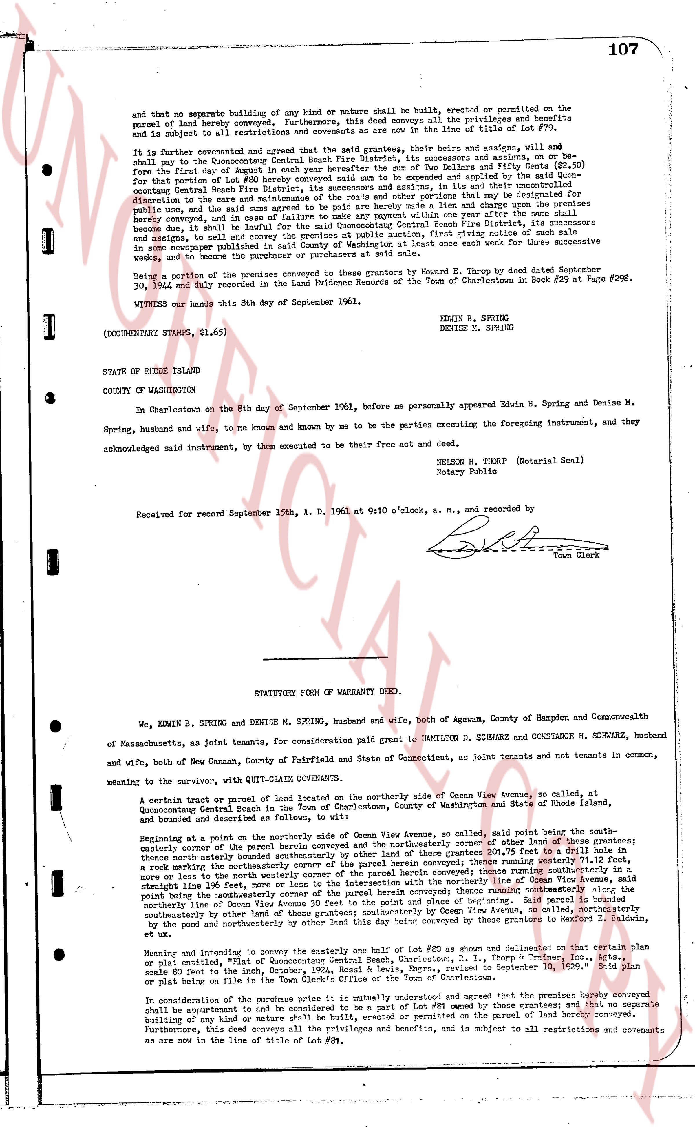
and that no separate building of any kind or nature shall be built, erected or permitted on the
parcel of land hereby conveyed. Furthermore, this deed conveys all the privileges and benefits
and is subject to all restrictions and covenants as are now in the line of title of Lot #78.
It is further convenanted and agreed that the said grantors, their heirs and assigns, will and
shall pay to the Ch Westerly Central Beach Fire District, its successors and assigns, on or be-
fore the first day of August in each year hereafter the sum of Two Dollars and Fifty Cents ($2.50)
for that part of the land hereby conveyed which is dedicated and applied by the grantors to the
common Central Beach Fire District, its successors and assigns, in its utter and uncontrolled
discretion to the care and use of the said District for such purposes as may be deemed appropriate
for public use, and the said sum agreed to be paid hereby made a lien and charge upon the premises
hereby conveyed, and in case of nonpayment of said sum for one year, any one person or persons
become due and payable shall be entitled for the said Common Central Beach Fire District, its successors
and assigns, to sell and convey the premises at public auction, first giving notice of said sale in
some newspaper published in the Town of Charlestown once each week for three successive in
weeks, and to become the purchaser or purchasers at said sale.
Being a portion of the premises conveyed to these grantors by Howard E. Thorp by deed dated September
30, 1944 and duly recorded in the Land Evidence Records of the Town of Charlestown in Book #29 at Page #298.
WITNESS our hands this 8th day of September 1961.
EDWIN B. SPRING
DENISE M. SPRING
(DOCUMENTARY STAMPS, $1.65)
STATE OF RHODE ISLAND
COUNTY OF WASHINGTON
In Charlestown on the 8th day of September 1961, before me personally appeared Edwin B. Spring and Denise M.
Spring, husband and wife, to me known and known by me to be the parties executing the foregoing instrument, and they
acknowledged said instrument, by then executed to be their free act and deed.
NELSON H. THORP (Notarial Seal)
Notary Public
Received for record September 15th, A. D. 1961 at 9:10 o'clock, a. m. [Signature] Town Clerk
----
STATUTORY FORM OF WARRANTY DEED.
We, EDWIN B. SPRING and DENISE M. SPRING, husband and wife, both of Agawam, County of Hampden and Commonwealth
of Massachusetts, as joint tenants, for consideration paid grant to HAMILTON D. SCHWARZ and CONSTANCE H. SCHWARZ, husband
and wife, both of New Canaan, County of Fairfield and State of Connecticut, as joint tenants and not tenants in common,
meaning to the survivor, with QUIT-CLAIM COVENANTS:
A certain tract or parcel of land located on the northerly side of Ocean View Avenue, so called, at
Quonsetpoint Central Beach in the Town of Charlestown, County of Washington and State of Rhode Island,
bounded and described as follows, to wit:
Beginning at a point on the northerly side of Ocean View Avenue so called, said point being the south-
easterly corner of the parcel herein conveyed and the southwesterly corner of other land of these grantors; thence
northerly easterly boundary corner of the parcel of land of these grantors 201.75 feet to the a drill hole in
a rock marking the northwesterly corner of the parcel herein conveyed; thence northerly [?] running southeasterly in
straight line running southeasterly in a straight line running southeasterly in a straight line running southeasterly in
straight line 196.00 feet, more or less to the intersection with the northerly line of Ocean View Avenue; said
point being the northeasterly corner of the parcel herein conveyed; thence southwesterly along the
northerly line of Ocean View Avenue 30 feet to the point of place and beginning of section. Said parcel is bounded
southeasterly by the road of Ocean View Avenue and bounded on every other side by land conveyed to Rexford E. Baldwin,
et ux by the deed recorded northeasterly by the pool and southeasterly by other land this day conveyed by these grantors to Rexford E. Baldwin,
et ux.
Meaning and intending to convey the entire one half lot #80 as shown and delineated on a certain plan
or plat entitled, "Plat of the Quonsetpoint Central Beach, R. I., Thorp & Thorp, Surveyors, Inc.," dated
September 10, 1965. Said plan
88 feet to the east, in the Town Clerk's Office of the Town of Charlestown.
In consideration of the purchase price it is mutually understood and agreed that the premises hereby conveyed
shall be improvements of and be considered to be a part of Lot #81 owned by these grantors; and that no separate
building of any kind or nature shall be built, erected or permitted on the parcel of land hereby conveyed.
Furthermore, this deed conveys all the privileges and benefits, and is subject to all restrictions and covenants
as are now in the line of title of Lot #81.
The page as recorded