The instrument's own words
page 1 · read by Gemma vision
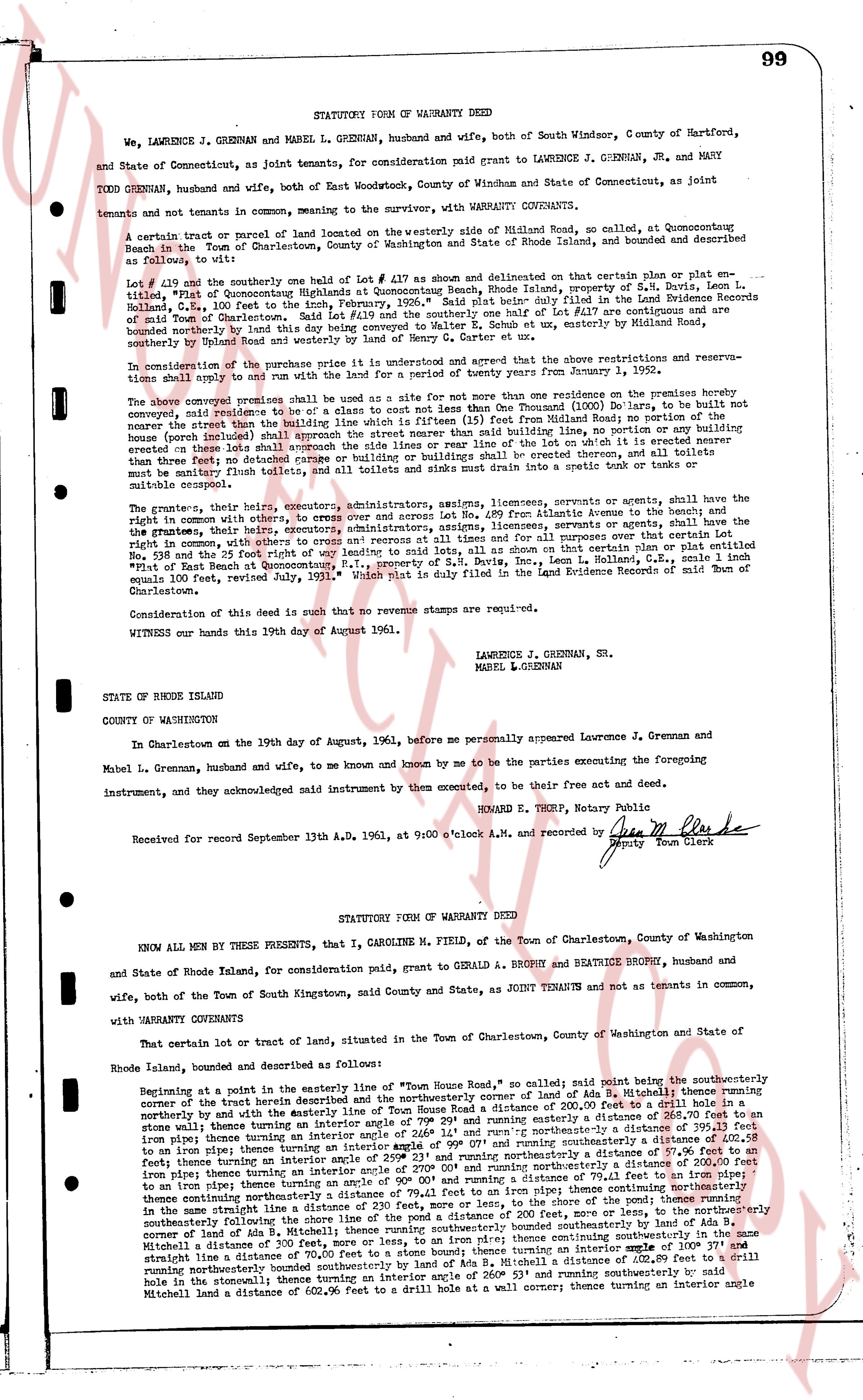
99
STATUTORY FORM OF WARRANTY DEED
We, LAWRENCE J. GRENNAN and MABEL L. GRENNAN, husband and wife, both of South Windsor, County of Hartford, and State of Connecticut, as joint tenants, for consideration paid grant to LAWRENCE J. GRENNAN, JR. and MARY TODD GRENNAN, husband and wife, both of East Woodstock, County of Windham and State of Connecticut, as joint tenants and not tenants in common, meaning to the survivor, with WARRANTY COVENANTS.
A certain tract or parcel of land located on the westerly side of Midland Road, at Quonsetpoint Beach in the Town of Charlestown, County of Washington State of Rhode Island, land, bounded and described as follows to wit:
Lot # 410 and the southerly one half of Lot # 417 as shown on a survey map indicated on certain plat or plat reference, plat # 1 of Quonsetpoint Highlands in the Town of Charlestown, Rhode Island, prepared by S. H. Davis, Leon L. Halloran, July 1961, and filed in the Land Evidence Records of said Town of Charlestown, Book 37, page 598, "Exhibit B," said plat being duly filed in the Land Evidence Records of said Town of Charlestown, said Lot # 410 and the southerly one half of Lot # 417 are bounded on the north by land of Caroline M. Field, on the south by land of E. Schou et al, by westerly on Midland Road, bounded on the southerly by land of Robert and westerly by land of Mrs. Henry C. Carter et al.
In consideration of the purchase price there is an understanding and agreed that the above restrictions and reservations shall apply to and run with the land and be binding upon all grantees from January 1, 1992.
The above conveyed premises shall be used as a site for not more than one residence on the premises hereby conveyed, said residence to be of a class to not cost less than One Thousand ($1,000) Dollars, to be built, not to bear the name "Hotel" or "Inn" and shall be set back 25 feet from the center of Midland Road to the front of the house (including) shall approach the street rather than said building line, no portion or any building being erected on these lots shall have any accessory buildings or buildings or buildings shall be erected thereon, and all toilets sinks must be drainage flues lost and all toilets and sinks must drain into a septic tank or into a sewer.
The grantees, their heirs, executors, administrators, assigns, licensees, servants or agents shall have the right in common with others, to enter, cross over and across the land from Atlantic Avenue to the beach and the shore, on the 25 foot wide path indicated on the above mentioned plat, licensees, servants or agents, shall have the right in common with others, to enter and egress at resorts and at times all for and all purposes over all terrain on said certain lot or plat indicated "Path of East Beach at Quonsetpoint, R.I.," property of S. H. Davis, Inc., Leon L. Halloran, U.S.E., scale 1 inch equals 100 feet, revised July, 1961, which plat is duly filed in the Land Evidence Records of said Town of Charlestown.
Consideration of this deed is such that no revenue stamps are required.
WITNESS our hands this 19th day of August 1961.
LAWRENCE J. GRENNAN, Sr.
MABEL L. GRENNAN
STATE OF RHODE ISLAND
COUNTY OF WASHINGTON
In Charlestown on the 19th day of August, 1961 before me personally appeared Lawrence J. Grennan and Mabel L. Grennan, husband and wife, to me known and known by me to be the parties executing the foregoing instrument, and they acknowledged said instrument by them executed, to be their free act and deed.
EDWARD E. THEEP, Notary Public
Received for record September 13th A.D. 1961, at 9:00 o'clock A.M. and recorded by [Signature] Deputy Town Clerk
----
STATUTORY FORM OF WARRANTY DEED
KNOW ALL MEN BY THESE PRESENTS, that I, CAROLINE M. FIELD, of the Town of Charlestown, County of Washington and State of Rhode Island, for consideration paid, grant to GERALD A. BROPHY and BEATRICE BROPHY, husband and wife, both of the Town of South Kingstown, said County and State, as JOINT TENANTS and not as tenants in common, with WARRANTY COVENANTS
That certain lot or tract of land, situated in the Town of Charlestown, County of Washington and State of Rhode Island, land, bounded and described as follows:
Beginning at a point in the easterly line of "Town House Road, south" so called; said point being the southeasterly corner of the tract herein described and the northeasterly corner of land of Ada B. Mitchell; thence running northerly with the land of Ada B. Mitchell as the boundary line, a distance of 200.00 feet to a drill hole in a stone boundary line then running easterly on an interior angle of 99° 29' and running easterly a distance of 268.70 feet to an iron pipe; thence running southerly with the land of S. H. Davis, Inc. as the boundary line, a distance of 200.00 feet to an iron pipe; thence running westerly on an interior angle of 99° 07' and running westerly a distance of 200.28 feet to an iron pipe; thence running northerly on an interior angle of 90° 53' and running northerly a distance of 200.00 feet to an iron pipe; thence running easterly on an interior angle of 270° 00' and running northerly a distance of 200.00 feet to an iron pipe; thence running southeasterly on an interior angle of 90° 00' and running southeasterly a distance of 200.00 feet to an iron pipe; thence running southeasterly on an interior angle of 90° 00' and running southeasterly a distance of 200.00 feet to an iron pipe; thence running southeasterly on an interior angle of 90° 00' and running southeasterly a distance of 200.00 feet in the same straight line a distance of 200.00 feet, more or less, and continuing southeasterly a distance of 200.00 feet, more or less, and continuing southeasterly a distance of 200.00 feet, more or less, to the northeasterly corner of land of Ada B. Mitchell; thence running southeasterly bounded southeasterly by the northeasterly corner of land of Ada B. Mitchell; thence running southeasterly on an interior angle of 180° 00' continuing southeasterly in the same straight line a distance of 70.00 feet to a stone boundary line; thence running an interior angle of 100° 00' and running northerly a distance of 200.00 feet to a stone boundary line, a distance of 200.00 feet to a drill hole in the stone boundary line; thence running an interior angle of 260° 53' and running southeasterly by said Mitchell land a distance of 602.96 feet to a drill hole at a wall corner; thence running an interior angle
page 2 · read by Gemma vision
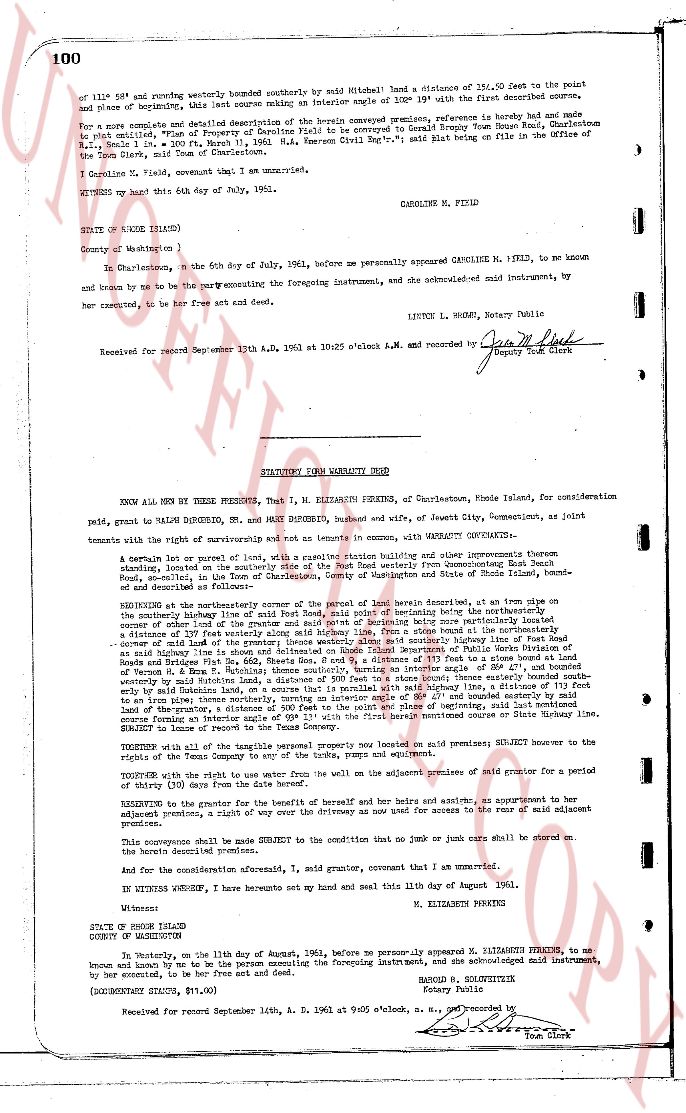
of 111° 58' and running westerly bounded southerly by said Mitchell land a distance of 154.50 feet to the point
and place of beginning, this last course making an interior angle of 102° 19' with the first described course.
and described as follows:
For a more complete and detailed description of the herein conveyed premises, reference is hereby made and made
to plat entitled, "Plan of Property of Caroline Field to be conveyed to Gerald Brophy Town House Road, Charlestown
R.I., Scale 1 in. = 100 ft. March 11, 1961 M. D. Emerson Civil Eng'r"; said plat being on file in the Office of the
Town of Charlestown, Rhode Island.
I Caroline M. Field, covenant that I am unmarried.
WITNESS my hand this 6th day of July, 1961. CAROLINE M. FIELD
STATE OF RHODE ISLAND)
County of Washington )
In Charlestown, on the 6th day of July, 1961, before me personally appeared CAROLINE M. FIELD, to me known
and known by me to be the party executing the foregoing instrument, and she acknowledged said instrument, by
her executed, to be her free act and deed.
LINTON L. BROWN, Notary Public
Received for record September 13th A.D. 1961 at 10:25 o'clock A.M. and recorded by [signature]
Deputy Town Clerk
----
STATUTORY FORM WARRANTY DEED
KNOW ALL MEN BY THESE PRESENTS, That I, M. ELIZABETH PERKINS, of Charlestown, Rhode Island, for consideration
paid, grant to RALPH DIBROBBO, DR., AND MARY DIBROBBO, husband and wife, of Jewett City, Connecticut, as joint
tenants with the right of survivorship and not as tenants in common, with WARRANTY COVENANTS:
A certain lot or parcel of land with, a gasoline station building and other improvements thereon
standing, located on the northerly side of the highway known as State Highway from Glocestering State Beach
Road, situated, in the Town of Charlestown, County of Washington and State of Rhode Island, bound-
ed and described as follows:
BEGINNING at the northeasterly corner of the parcel of land herein described, at an iron pipe on
the westerly highway line of said Port Road, said point of beginning being the northeasterly
corner of other land of the grantor and the said highway line, being a stone boundary, situated
a distance of 119 feet from the southeasterly highway line, being a stone boundary at the northeasterly
corner of land of the grantor; thence westerly alone said southeasterly highway line a distance of 119 feet
to said highway line; thence it runs northerly along said highway line, a distance of 119 feet to a stone boundary at
Roads of Bridges and Plat No. 662, Sheets No. 8 and 9, a distance of 113 feet to a stone boundary at land
of H. Ward, the last course making an interior angle of 108° 11' with the first described course; thence continuing
westerly by said Rutledge land, a distance of 500 feet to a stone boundary line, a distance of 119 feet to a stone
boundary at land of iron pipe; thence northerly, turning on an interior angle of 88° 47' and bounded easterly by said
Rutledge land, a distance of 119 feet to a stone boundary, a distance of 500 feet to a stone boundary at land of
the grantor, a distance of 119 feet to a stone boundary, a distance of 119 feet to a stone boundary, the last
course making an interior angle of 93° 11' with the first herein mentioned boundary course or State highway line.
SUBJECT to lease of the Texas Company.
TOGETHER with all of the tangible personal property now located on said premises; SUBJECT however to the
right of the Texas Company to remove all tanks, pumps and equipment.
TOGETHER with the right to use water from the well on the adjacent premises of said grantor for a period
of thirty (30) days from the date hereof.
RESERVING to the grantor for the benefit of herself and her heirs and assigns, at convenience to her
adjacent premises, a right of way over the driveway as now used for access to the rear of said adjacent
premises.
This conveyance shall be made SUBJECT to the condition that no junk or cars shall be stored on
the herein described premises.
And for the consideration aforesaid, I, said grantor, covenant that I am unmarried.
IN WITNESS WHEREOF, I have hereunto set my hand and seal this 11th day of August 1961.
Witness: M. ELIZABETH PERKINS
STATE OF RHODE ISLAND
COUNTY OF NEW LONDON
On the eleventh, on the day of August, 1961, before me personally appeared M. ELIZABETH PERKINS, to me
known and known by me to be the person executing the foregoing instrument, and she acknowledged said instrument,
by her executed, to be her free act and deed.
HAROLD B. SOLOVEITZIK
Notary Public
(DOCUMENTARY STAMPS, $11.00)
Received for record September 14th, A.D. 1961 at 9:05 o'clock, a.m., and recorded by [signature]
Town Clerk
The page as recorded