The instrument's own words
page 1 · read by Gemma vision
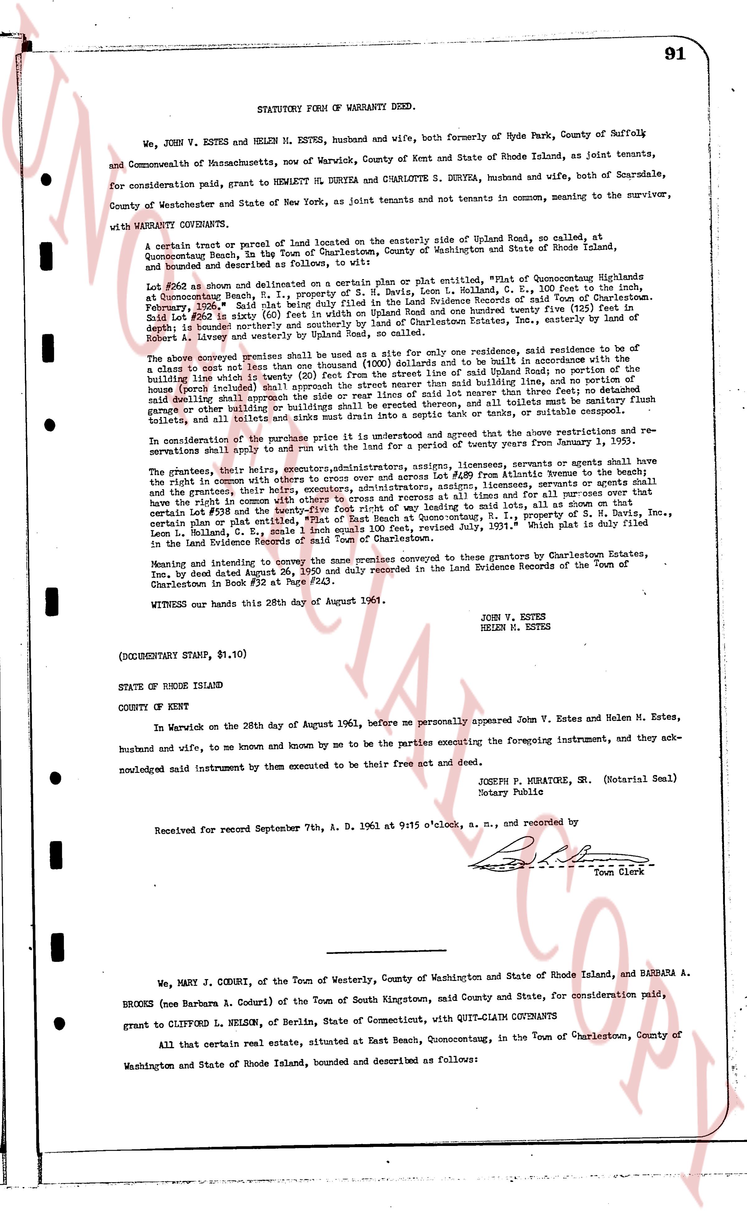
91
STATUTORY FORM OF WARRANTY DEED.
We, JOHN V. ESTES and HELEN M. ESTES, husband and wife, both formerly of Hyde Park, County of Suffolk and Commonwealth of Massachusetts, now of Warwick, County of Kent and State of Rhode Island, as joint tenants, for consideration paid, grant to HENRY LE DURYEA and CHARLOTTE S. DURYEA, husband and wife, both of Scarsdale, County of Westchester and State of New York, as joint tenants and not tenants in common, meaning to the survivor, with WARRANTY CONVEYANT COVENANTS.
A certain tract or parcel of land located on the easterly side of Upland Road, so called, at Quonocutonq Beach, in the Town of Charlestown, County of Washington and State of Rhode Island, bounded and described as follows, to wit:
Lot #262 as shown and delineated on a certain plan or plat entitled, "Plat of Quonocutonq Highlands at Quonocutonq Beach, R.I., property of S. H. Nelson, Leon L. Holland, C. E., 100 feet to the inch, February 1936." Said plan is duly recorded in the Land Evidence Records of said Town of Charlestown. Said Lot #262 is sixty (60) feet in width on Upland Road and one hundred twenty five (125) feet in depth to a bounded northern line, bounded on the north by a lot in the estate of Robert Estes, Inc., easterly by Robert A. Libbey and westerly by Upland Road, so called.
The above conveyed premises shall be used as a site for one only residence, residence site and building to be a classic style home not then exceeding 30' x 40' (1200 Square feet) and to be built in accordance with the building line which is twenty (20) feet from the street line of Upland Road; no portion of the residence or porch (herewith included) shall encroach the side or rear lines of said lot nearer than three (3) feet; no detached garage or other building or buildings shall be erected on said lot; all toilets must be septic tanks; no flush toilets, cess pools or similar installations shall drain into a septic tank or tanks, or suitable cesspool.
In consideration of the purchase price it is understood and agreed that the above restrictions and reservations shall apply to and run with the land for a period of twenty years from January 1, 1962.
The grantors, their heirs, executors, administrators, assigns, licensees, servants or agents shall have the right to enter with equipment on the premises to maintain the 48' strip from Avenue to the Beach; and the grantors, their heirs, executors, administrators, assigns, licensees, servants or agents shall have the right to construct a concrete walkway 3' wide from the street line and for all time and for all cases over that certain Lot #238 and the twenty-five foot right of way leading to said lot, all as shown on that certain plan or plat entitled, "Plat of Quonocutonq Highlands at Quonocutonq Beach, R.I., property of S. H. Nelson, Leon L. Holland, C. E., 1 scale inch equals 100 feet, Revised July, 1931." Which plat is duly filed in the Land Evidence Records of said Town of Charlestown.
Meaning and intending to convey to the same premises conveyed to these grantors by Charlestown Estates, Inc., by deed dated May 24, 1950 duly recorded in the Land Evidence Records of the Town of Charlestown in Book #32 at Page #243.
WITNESS our hands this 28th day of August 1961.
JOHN V. ESTES
HELEN M. ESTES
(DOCUMENTARY STAMP, $1.10)
STATE OF RHODE ISLAND
COUNTY OF KENT
In Warwick on the 28th day of August 1961, before me personally appeared John V. Estes and Helen M. Estes, husband and wife, to me known and known by me to be the parties executing the foregoing instrument, and they acknowledged said instrument by them executed to be their free act and deed.
JOSEPH P. MIRATRE, SR. (Notarial Seal)
Notary Public
Received for record September 7th, A. D. 1961 at 9:15 o'clock, a. m., and recorded by
[Signature]
Town Clerk
----
We, MARY J. CODURI, of the Town of Westerly, County of Washington and State of Rhode Island, and BARBARA A. BROOKS (nee Barbara A. Coduri) of the Town of South Kingstown, said County and State, for consideration paid, grant to CLIFFORD L. NELSON, of Berlin, State of Connecticut, with QUIT-CLAIM COVENANTS
All that certain real estate, situated at East Beach, Quonocutonq, in the Town of Charlestown, County of Washington and State of Rhode Island, bounded and described as follows:
page 2 · read by Gemma vision
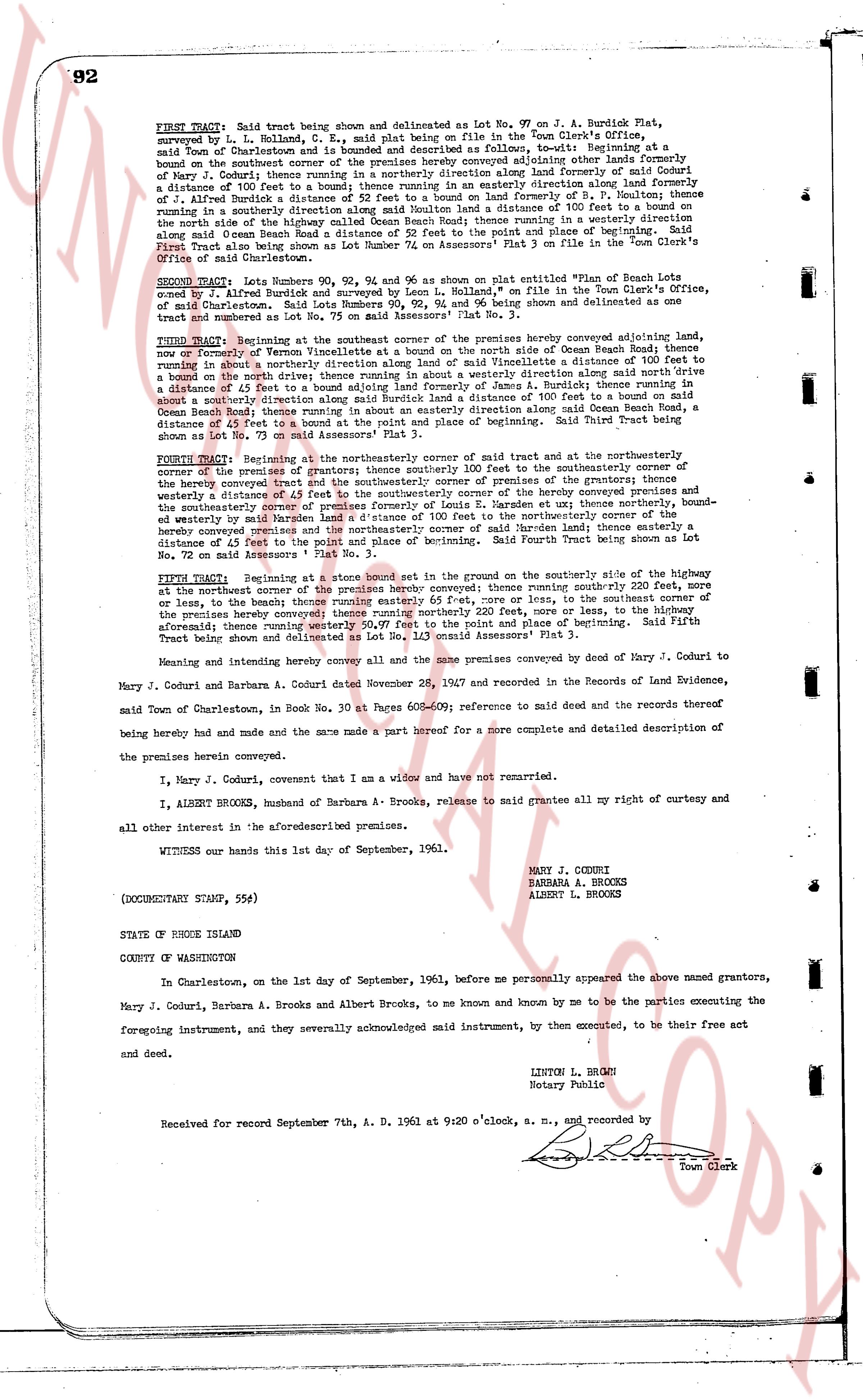
92
FIRST TRACT: Said tract being thus set on and delineated as Lot No. 97 on J. A. Burdick Plat, surveyed by L. L. Ballard, C. e. s. plat being on file in the Town Clerk's Office, said town of Charlestown and is bounded and described as follows, to-wit: Beginning at a bound on the southeast corner of the premises hereby conveyed adjoining other lands formerly of Mary J. Coduri, then running in a southeasterly direction along formerly of Coduri formerly of J. A. Burdick a distance of 100 feet to a bound; thence running in an easterly direction along land formerly of J. A. Burdick a distance of 100 feet to a bound; thence running in a northerly direction for a distance of 100 feet to a bound; thence running in a southeasterly direction along said Haulden a distance of 100 feet to a bound on the north side of the road known as Ocean Beach Road; thence running in a westerly direction a distance of 100 feet along said Ocean Beach Road a distance of 52 feet to the point and place of beginning. Said First Tract being also shown as Lot number 74 on Assessors' Plat 3 on file in the Town Clerk's Office of said Charlestown.
SECOND TRACT: Lots Numbers 92, 93, 94 and 96 as shown above as plotted entitled "Plat of Beach" surveyed by J. A. Burdick and surveyed by L. L. Ballard, C. e. s. on file in the Town Clerk's Office, said Charlestown. Said Lots Numbers 92, 93, 94 and 96 being shown and delineated as one tract and numbered as Lot No. 75 on Assessors' Plat 3.
THIRD TRACT: Beginning at the southeast corner of the premises hereby conveyed adjoining other lands, namely on the North of Former Highway then running in a southeasterly direction side of Ocean Beach Road; thence running in a southerly direction along a bound adjoining land of Vince Mandell a distance of 100 feet to a bound on the north side of the road known as Ocean Beach Road; thence running in a westerly direction along a distance of 50 feet to a bound adjoining land formerly of Jane A. Burdick; thence running in a southerly direction along a bound adjoining land formerly of Jane A. Burdick a distance of 100 feet to a bound on the south side of the road known as Ocean Beach Road; thence running in an easterly direction along said Ocean Beach Road a distance of 50 feet to the point and place of beginning. Said Third Tract being shown as Lot No. 73 on Assessors' Plat 3.
FOURTH TRACT: Beginning at the northeasterly corner of the premises hereby conveyed, said first said bound being the northeasterly corner of the premises conveyed former grantors; thence running southeasterly corner to the southeasterly corner of the premises conveyed former grantors; thence running southeasterly corner of the premises grantors; thence running in a southeasterly direction along a bound adjoining other lands westerly a distance of 45 feet to the southeasterly corner of the hereby conveyed premises and thence running in a southeasterly direction along a bound adjoining other lands thence northerly bound, southeastwardly by Mrs. Haulden a distance of 100 feet to the northeasterly corner of the hereby conveyed premises and thence running in a northerly direction a distance of 100 feet thence a distance of 45 feet to the point and place of beginning. Said Fourth Tract being shown as Lot No. 72 on Assessors' Plat 3.
FIFTH TRACT: Beginning at a stone bound set in the ground on the southerly side of the highway but at the northwest corner of the premises hereby conveyed; thence running routinely 200 feet, more or less, to the northwest corner of the premises hereby conveyed or less, thence in the southeasterly direction of the premises hereby conveyed; thence running northerly 200 feet, more or less, to the highway aforesaid; thence running westerly 50 feet, more or less, to the point and place of beginning. Said Fifth Tract being shown and delineated as Lot No. 71 on Assessors' Plat 3.
Meaning and intending hereby convey all and the same premises conveyed by deed of Mary J. Coduri to Mary J. Coduri and Barbara A. Coduri dated November 26, 1947 and recorded in the Records of Land Evidence, said Town of Charlestown, in Book No. 30 at Page 609-610; reference to said deed and the records thereof being hereby had and made and the same made a part hereof for a more complete and detailed description of the premises herein conveyed.
I, Mary J. Coduri, covenant that I am a widow and have not remarried.
I, ALBERT BROOKS, husband of Barbara A. Brooks, release to said grantee all my right of curtesy and all other interest in the aforesaid premises.
WITNESS our hands this 1st day of September, 1961.
MARY J. CODURI
BARBARA A. BROOKS
ALBERT L. BROOKS
(DOCUMENTARY STAMP, 55¢)
STATE OF RHODE ISLAND
COUNTY OF WASHINGTON
In Charlestown, on the 1st day of September, 1961, before me personally appeared the above named grantors, Mary J. Coduri, Barbara A. Brooks and Albert Brooks, to me known and known by me to be the parties executing the foregoing instrument, and they severally acknowledged said instrument, by them executed, to be their free act and deed.
LINTON L. BROWN
Notary Public
Received for record September 7th, A. D. 1961 at 9:20 o'clock, a. m., and recorded by
[Signature]
Town Clerk
The page as recorded