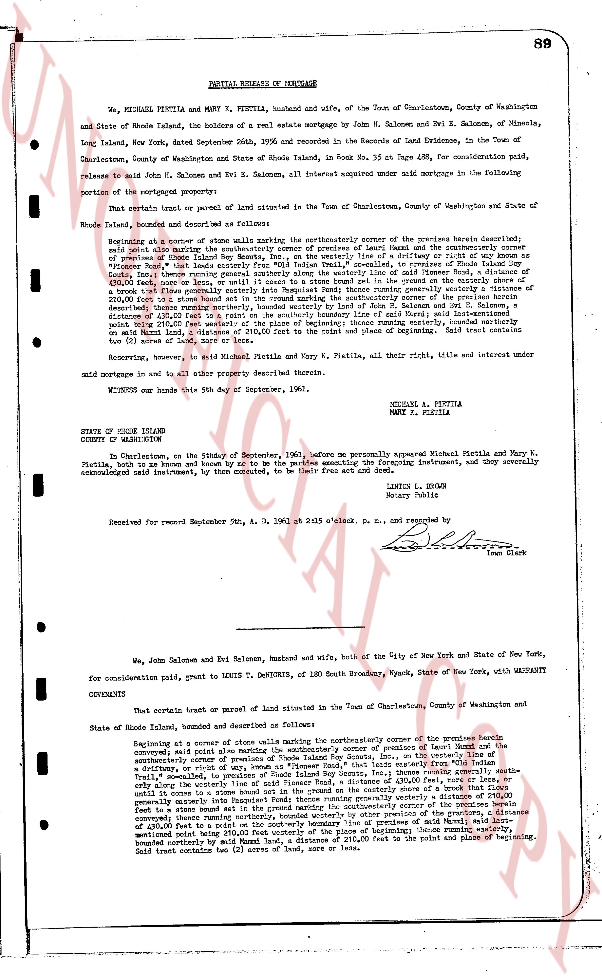
The instrument's own words
page 1 · read by Gemma vision
89
PARTIAL RELEASE OF MORTGAGE
We, MICHAEL PIETILA, husband and wife, and MARY K. PIETILA, of the Town of Charlestown, County of Washington State of Rhode Island, the holders of a real estate mortgage by John H. Salonen and Evi E. Salonen, of Mineola, Long Island, New York, dated September 26th, 1956 and recorded in the Records of Land Evidence, in the Town of Charlestown, County of Washington and State of Rhode Island, in Book No. 35 at Page 488, for consideration paid, release to said John H. Salonen and Evi E. Salonen, all interest acquired under said mortgage in the following portion of the mortgaged property:
That certain tract or parcel of land situated in the Town of Charlestown, County of Washington and State of Rhode Island, bounded and described as follows:
Beginning at a corner of a stone wall marking the northeasterly corner of the premises herein described; said wall also marking the northeasterly corner of premises of Leand Maud and the southwesterly corner of said premises of Rhode Island Bay Scouts Inc., on the westerly line of a driftway or right of way known as " Pioneer Road," that leads easterly from "Old Mill" Trail, to a point on the westerly line of the premises herein described; thence running generally southerly along the westerly line of said Pioneer Road, a distance of 430.00 feet, more or less, until it comes to a stone bound marking the ground line of the premises herein described; a break in the stone wall; thence running generally westerly a distance of 210.00 feet to a stone bound set in the ground marking the southwesterly corner of the premises herein described; thence running northerly, bounded westerly by other premises of Mr. H. Salonen and Evi E. Salonen, a distance of 430.00 feet to a point on the southerly boundary line of said Maud; said last-mentioned point being 210.00 feet westerly from the northeasterly corner of the place of beginning; thence running easterly, on said Maud land, a distance of 210.00 feet to the point and place of beginning. Said tract contains two (2) acres of land, more or less.
Reserving, however, to said Michael Pietila and Mary K. Pietila, all their right, title and interest under said mortgage in and to all other property described therein.
WITNESS our hands this 5th day of September, 1961.
MICHAEL A. PIETILA
MARY K. PIETILA
STATE OF RHODE ISLAND
COUNTY OF WASHINGTON
In Charlestown, on the Friday the 5th day of September, 1961, before me personally appeared Michael Pietila and Mary K. Pietila, both to me known and by me to be the parties executing the foregoing instrument, and they severally acknowledged myself instrument, by them executed, to be their free act and deed.
LINTON L. BROWN
Notary Public
Received for record September 5th, A. D. 1961 at 2:15 o'clock, p. m., and recorded by [Signature]
Town Clerk
----
We, John Salonen and Evi Salonen, husband and wife, both of the City of New York and State of New York, for consideration paid, grant to LOUIS T. DEKHRIGIS, of 180 South Broadway, Nyack, State of New York, with WARRANTY COVENANTS
That certain tract or parcel of land situated in the Town of Charlestown, County of Washington and State of Rhode Island, bounded and described as follows:
Beginning at a corner of a stone wall marking the northeasterly corner of the premises herein described; said wall also marking the northeasterly corner of premises of Leand Maud and the southwesterly corner of said premises of Rhode Island Bay Scouts Inc., on the westerly line of a driftway, or right of way, known as "Pioneer Road," that leads easterly from "Old Mill" Trail, to a point on the westerly line of the premises herein described; thence running generally southerly along the westerly line of said Pioneer Road, a distance of 430.00 feet, more or less, until it comes to a stone bound marking the ground line of the premises herein described; a break in the stone wall; thence running generally westerly a distance of 210.00 feet until it comes to a corner set in the ground marking the southwesterly corner of the premises herein described; thence running northerly, bounded westerly by other premises of the grantors, a distance of 430.00 feet to a point on the southerly boundary line of said Maud; said last-mentioned point being 210.00 feet westerly from the northeasterly corner of the place of beginning; thence running easterly, bounded northerly by said Maud land, a distance of 210.00 feet to the point and place of beginning. Said tract contains two (2) acres of land, more or less.
The page as recorded