The instrument's own words
page 1 · read by Gemma vision
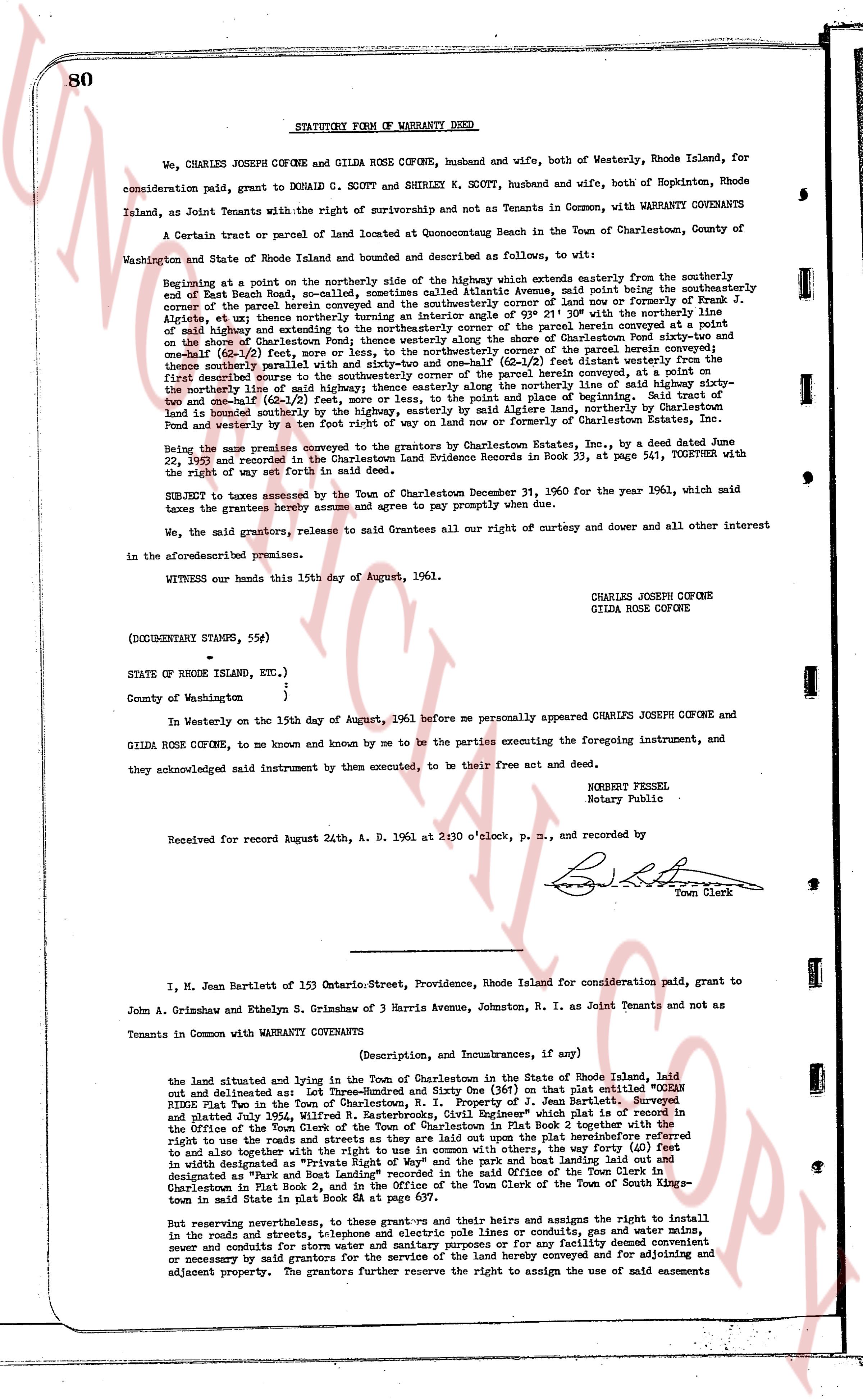
80 STATUTORY FORM OF WARRANTY DEED
We, CHARLES JOSEPH COFONE and GILDA ROSE COFONE, husband and wife, both of Westerly, Rhode Island, for
consideration paid, grant to DONALD C. SCOTT and SHIRLEY N. SCOTT, husband and wife, both of Hopkinton, Rhode
Island, as Joint Tenants with the right of survivorship and not as Tenants in Common, with WARRANTY COVENANTS
A certain tract or parcel of land located at Quonochontaug Beach in the Town of Charlestown, County of
Washington and State of Rhode Island and bounded and described as follows, to wit:
Beginning at a point on the northerly side of the highway which extends easterly from the southerly end
of East Beach Road, so named, sometimes called Atoka Avenue, said point being the northeasterly
corner of the parcel herein conveyed and being the northeasterly corner of lot no one (1) formerly of Frank J.
Alcery, et alies thus northerly thence traversing an interior angle of 92 degrees 21 minute with the
said highway and extending southeasterly along the shore of Quonochontaug Pond fifty-two and
one-half (52 1/2) feet; thence running south 15 degrees 30 minutes east, as per a survey herein conveyed at a
point on the shore of Quonochontaug Pond, thence westerly along the shore of Quonochontaug Pond fifty-two and
one-half (52 1/2) feet to the highway; thence running northerly along the boundary of the parcel herein conveyed a
distance of 150 feet thence parallel with and sixty-two and one-half (62 1/2) feet distant westerly from the
first described line; thence running south 15 degrees 30 minutes east, as per survey herein conveyed a distance of 150
the northerly line of said highway; thence easterly along the northerly line of said highway fifty-two
and one-half (52 1/2) feet to the highway; thence running northerly along the shore of Quonochontaug Pond, the
land is bounded southerly by the highway, easterly by said Lake northerly, northernly by
Charlestown and westerly by a ten foot right of way on land now or formerly of Charlestown.
Being the same premises conveyed to the grantors by Moore Estate, Inc., by a deed dated June
22, 1950 and recorded in the Charlestown Land Evidence Records in Book 33, page 541, TOGETHER with the
right of way set forth in said deed.
SUBJECT to taxes assessed by the Town of Charlestown December 31, 1960 for the year 1961, which said
taxes the grantees hereby assume and agree to pay promptly when due.
We, the said grantors, release to said Grantees all our right of curtesy and dower and all other interest
in the aforesaid premises.
WITNESS our hands this 15th day of August, 1961.
CHARLES JOSEPH COFONE
GILDA ROSE COFONE
(DOCUMENTARY STAMPS, 55¢)
STATE OF RHODE ISLAND, etc.)
County of Washington }
In Westerly on the 15th day of August, 1961 before me personally appeared CHARLES JOSEPH COFONE and
GILDA ROSE COFONE, to me known and known by me to be the parties executing the foregoing instrument, and
they acknowledged said instrument by them executed, to be their free act and deed.
ROBERT PERSEL
Notary Public
Received for record August 24th, A. D. 1961 at 2:30 o'clock, p. m., and recorded by
[Signature]
Town Clerk
----
I, M. Jean Bartlett of 153 Ontario-Street, Providence, Rhode Island for consideration paid, grant to
John A. Grimshaw and Ethelyn S. Grimshaw of 3 Harris Avenue, Johnston, R. I. as Joint Tenants and not as
Tenants in Common with WARRANTY COVENANTS
(Description, and Incumbrances, if any)
the land situated and lying in the Town of Charlestown in the State of Rhode Island, laid
out and delineated as: Lot Three-Hundred and Sixty One (361) on that plat entitled "OCEAN
RIDGE Plat Two in the Town of Charlestown, R. I. Property of J. Jean Bartlett," Surveyed
and plated July 1944, Wilfred N. Easterbrook, Civil Engineer, and recorded March 22, 1945 at 11 o'clock p. m. in
the Office of the Town Clerk of Charlestown, and more particularly described in Plat Book 2 together with all the
right to use the roads and streets as they are laid out upon the plat hereinabove mentioned, and
to also have together with the said land and premises and with others, the right to ferry (0) feet
in width designated as "Private Right of Way" and the path and boat landing laid out on the
designated as "Path" and the boat landing laid out on the said plat in the Office of the Town Clerk of the Town of South King-
town in said State in plat Book 2, and in the Office of the Town Clerk of the Town of South King-
town in said State in plat Book 2, page 15.
But reserving nevertheless, to the grantors and their heirs and assigns the right to install
in the roads and streets, telephone and electric pole lines or conduits, gas and water mains,
sewer and conduits for street lighting and other utilities as may be for our facility, convenience
or necessary for said grantors for the service of the land hereby conveyed and for adjoining and
adjacent property. The grantors further reserve the right to assign the use of said easements
page 2 · read by Gemma vision
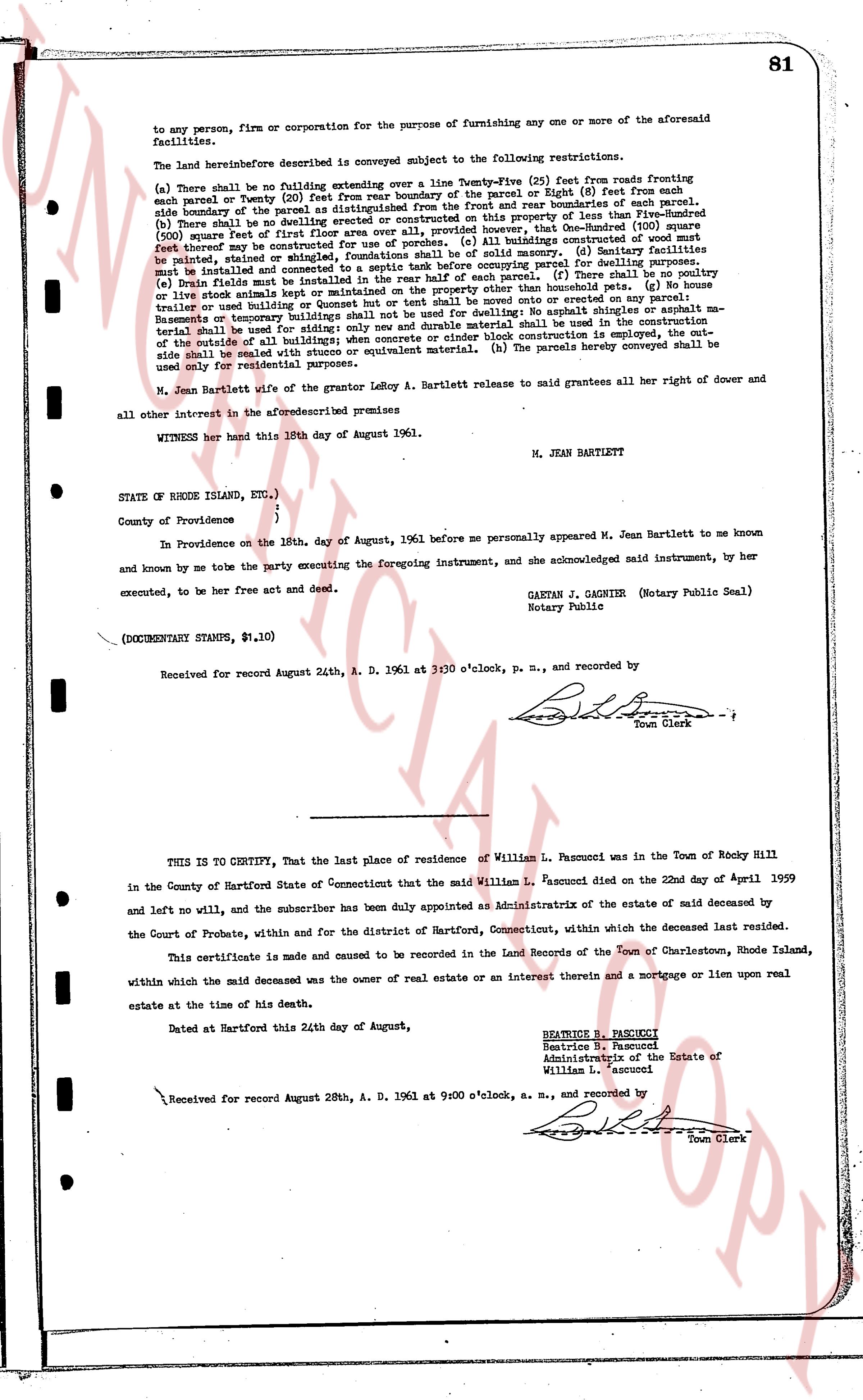
81
to any person, firm or corporation for the purpose of furnishing any one or more of the aforesaid facilities.
The land hereinbefore described is conveyed subject to the following restrictions.
(a) There shall be no building extending over a line Twenty-Five (25) feet from roads fronting each parcel or Twenty (20) feet from rear boundary of the parcel or Eight (8) feet from each side boundary of the parcel as distinguished from the road and front boundary of the parcel. (b) No building shall be erected on any parcel which shall exceed in size fifty per cent of the property of less than Five-Hundred (500) square feet of first floor area over all, provided, however, that One-Hundred (100) square feet (not to exceed) may be constructed as a porch or balcony. (c) Building constructed of wood shall be painted, stained or shingled, foundations shall be of solid masonry. (d) Sanitary facilities must be installed and maintained in accordance with the existing zoning parcel for building lots. (e) Drain fields must be installed in the rear half of each parcel. (f) There shall be no poultry or live stock animals kept or maintained in the rear half of the home boundary line. (g) No camper, trailer or yurt used for living purposes or no tent shall be moved onto or erected on any parcel. Basements or temporary buildings shall not be used for dwelling purposes. No height restriction shall be applied to the outside of the all building; when concrete or cinder block construction is employed, a water table shall be dealt with using an equivalent material. (h) The parcels hereby conveyed shall be used only for residential purposes.
M. Jean Bartlett wife of the grantor ledger A. Bartlett release to said grantees all her right of dower and all other interest in the aforementioned premises
WITNESS her hand this 18th day of August 1961.
M. JEAN BARTLETT
STATE OF RHODE ISLAND, ETC.)
)
}
County of Providence )
In Providence on the 18th. day of August, 1961 before me personally appeared M. Jean Bartlett to me known and known by me to be the party executing the foregoing instrument, and she acknowledged said instrument, by her executed, to be her free act and deed.
GAETAN J. GAGNIER (Notary Public Seal)
Notary Public
(DOCUMENTARY STAMPS, $1.10)
Received for record August 24th, A. D. 1961 at 3:30 o'clock, p. m., and recorded by
[Signature]
Town Clerk
----
THIS IS TO CERTIFY, That the last place of residence of William L. Pascucci was in the Town of Rocky Hill in the County of Hartford State of Connecticut that the said William L. Pascucci died on the 22nd day of April 1959 and left no will, and the subscriber has been duly appointed as Administratrix of the estate of said deceased by the Court of Probate, within and for the district of Hartford, Connecticut, within which the deceased last resided.
This certificate is made and caused to be recorded in the Land Records of the Town of Charlestown, Rhode Island, within which the said deceased was the owner of real estate or an interest therein and a mortgage or lien upon real estate at the time of his death.
Dated at Hartford this 24th day of August,
BEATRICE B. PASCUCCI
Beatrice B. Pascucci
Administratrix of the Estate of
William L. Pascucci
Received for record August 28th, A. D. 1961 at 9:00 o'clock, a. m., and recorded by
[Signature]
Town Clerk
The page as recorded