The instrument's own words
page 1 · read by Gemma vision
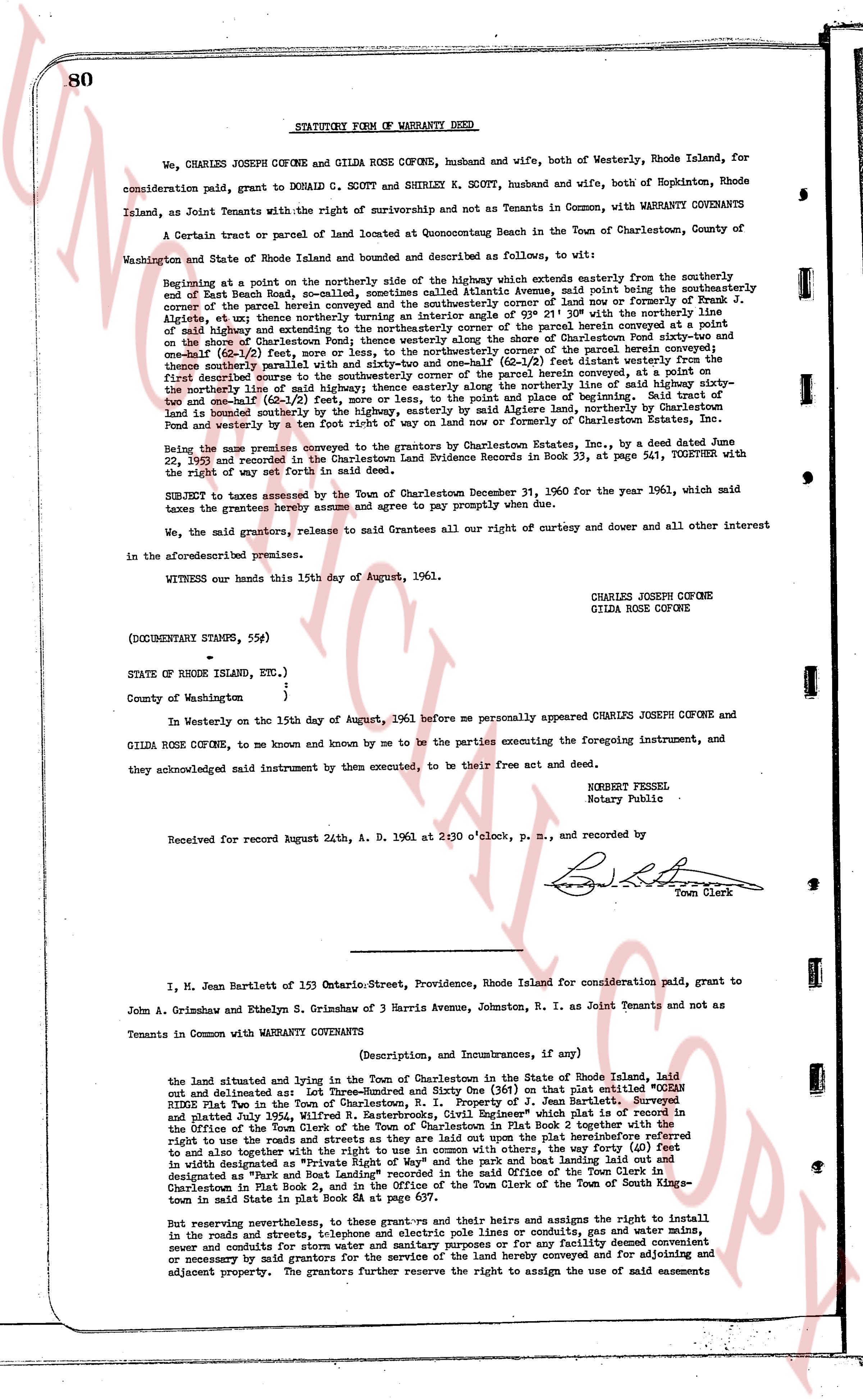
80 STATUTORY FORM OF WARRANTY DEED
We, CHARLES JOSEPH COFONE and GILDA ROSE COFONE, husband and wife, both of Westerly, Rhode Island, for consideration paid, grant to DONALD C. SCOTT and SHIRLEY K. SCOTT, husband and wife, both of Hopkinton, Rhode Island, as Joint Tenants with the right of survivorship and not as Tenants in Common, with WARRANTY COVENANTS
A certain tract or parcel of land located at Quonochontaug Beach in the Town of Charlestown, County of Washington and State of Rhode Island and bounded and described as follows, to wit:
Beginning at a point on the northerly side of the highway which extends easterly from the southerly end of East Beach Road, so-called, sometimes called Atlantic Avenue, said point being the southeasterly corner of the parcel herein conveyed and lying on the southeasterly corner of lot no one (1) formally of Frank J. Alessi, et aly thereon runs northerly thence intersecting an angle of east 91 degrees 29 minutes with the said highway and extends northerly along the easterly line of the said parcel herein conveyed at a point on the shore of Quonochontaug Pond thence westerly along the shore of Quonochontaug Pond fifty-two and one-half (52 1/2) feet thence southerly along the easterly line of the said parcel herein conveyed one hundred fifty-three (153) feet thence northerly parallel with and sixty-two and one-half (62 1/2) feet distant westerly from the first described line one hundred fifty-three (153) feet thence back to the herein conveyed a point on the northerly line of said highway etceq; thence easterly along the northerly line of said highway sixty-two and one-half (62 1/2) feet to the southeasterly corner of the said parcel of land herein conveyed, the said parcel of land is bounded on the southerly by the highway, easterly by said Lake Alessi, northerly by Charlestown and westerly by a ten foot right of way on land now or formerly of Charlestown Land Company.
Being the same premises conveyed to the grantors by Ocean State Estates, Inc., by a deed dated June 22, 1950 and recorded in the Charlestown Land Evidence Records in Book 33, page 541, TOGETHER with the right of way set forth in said deed.
SUBJECT to taxes assessed by the Town of Charlestown December 31, 1960 for the year 1961, which said taxes the grantors hereby assume and agree to pay promptly when due.
We, the said grantors, release to said Grantees all our right of curtesy and dower and all other interest in the aforesaid premises.
WITNESS our hands this 15th day of August, 1961.
CHARLES JOSEPH COFONE
GILDA ROSE COFONE
(DOCUMENTARY STAMPS, 55¢)
STATE OF RHODE ISLAND, etc.)
County of Washington }
In Westerly on the 15th day of August, 1961 before me personally appeared CHARLES JOSEPH COFONE and GILDA ROSE COFONE, to me known and known by me to be the parties executing the foregoing instrument, and they acknowledged said instrument by them executed, to be their free act and deed.
ROBERT PERSEL
Notary Public
Received for record August 24th, A. D. 1961 at 2:30 o'clock, p. m., and recorded by
[Signature]
Town Clerk
----
I, M. Jean Bartlett of 153 Ontario Street, Providence, Rhode Island for consideration paid, grant to John A. Grimshawn and Ethelyn S. Grimshawn of 3 Harris Avenue, Johnston, R. I. as Joint Tenants and not as Tenants in Common with WARRANTY COVENANTS
(Description, and Incumbrances, if any)
the land situated and lying in the Town of Charlestown in the State of Rhode Island, laid out and delineated as: Lot Three-Hundred and Sixty One (361) on that plat entitled "OCEAN RIDGE Plat Two in the Town of Charlestown, R. I. Property of J. Jean Bartlett" Surveyed and plated July 1954, Wilfred N. Easterbrook, Civil Engineer, and recorded March 22, 1955 in Plat Book 2 together with the right to use the roads and streets as they are laid out upon the plat hereinabove described, and to also together with the right to use the roads and streets with others, the way forty (40) feet in width designated as "Private Right of Way" and the path and boat landing laid out herein designated as "Path and Boat Landing" and recorded in the office of the Town Clerk of the Town of Charlestown in Plat Book 2, and in the office of the Town Clerk of the Town of South Kingstown in plat book 1, page 143.
But reserving nevertheless, to the grantors and their heirs and assigns the right to install in the roads and streets, telephone and electric pole lines or conduits, gas and water mains, sewer and conduits for street lighting and other utilities, and to repair for our facility damage sustained or necessary by said grantors for the service of the land hereby conveyed and for adjoining and adjacent property. The grantors further reserve the right to assign the use of said easements
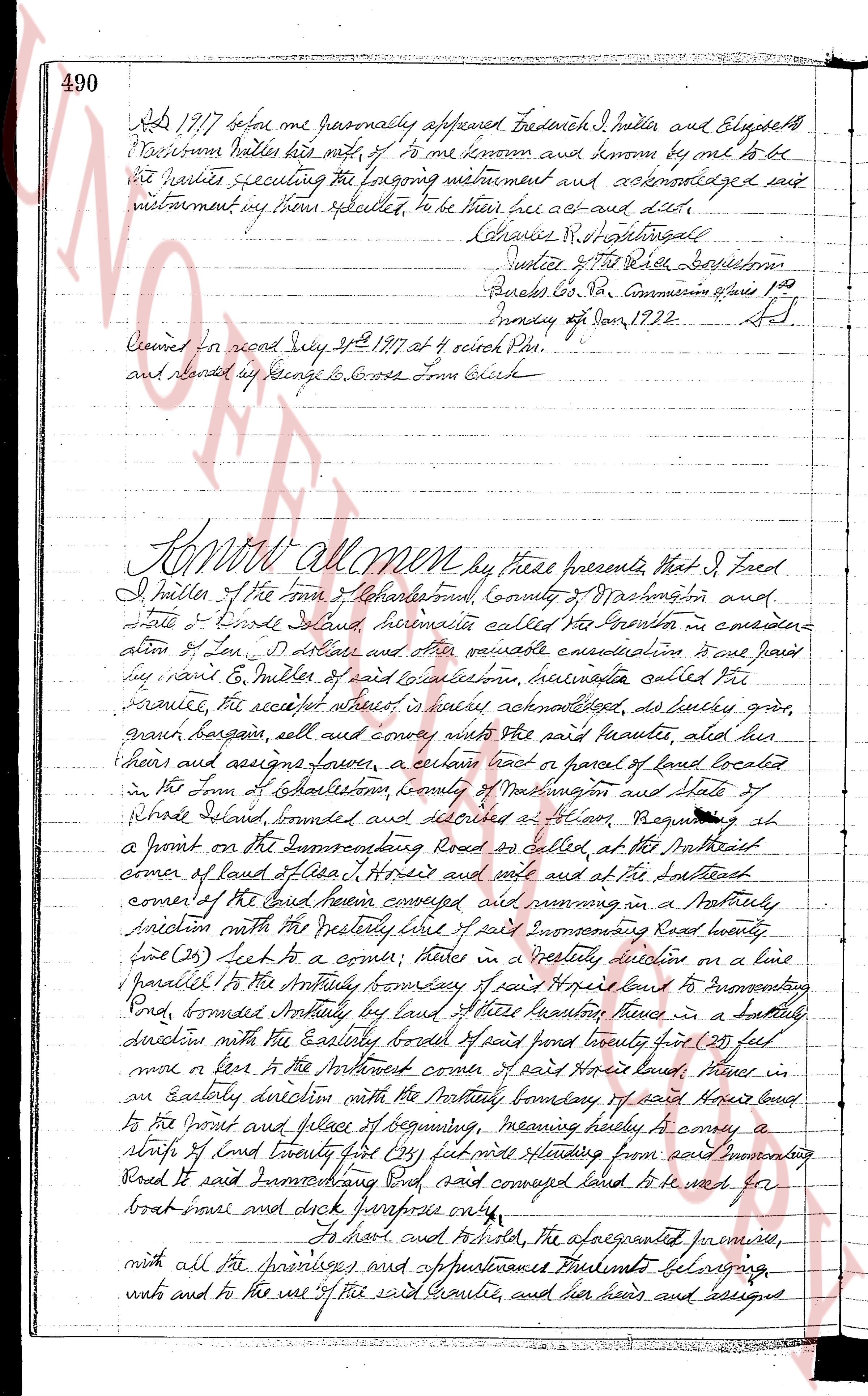
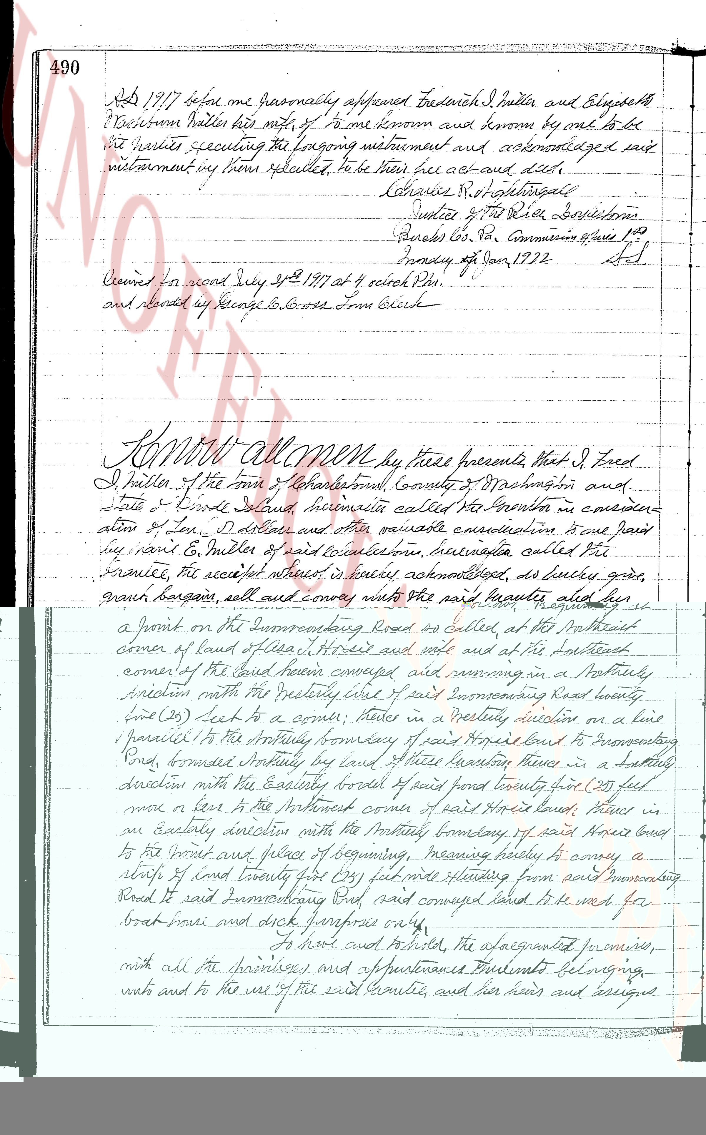
The page as recorded