The instrument's own words
page 1
484
[Diagram of a plot of land with measurements:
North arrow pointing up.
Top boundary: 371.90
Right boundary: 134.5
Bottom boundary: 213.38
Left boundary: 90, 106, 95° 56' 30"
Internal labels:
Y. L. Ames
Sr Fred L. Hale
43050 25, fp
Dr George S. Peelle
102° 29'
22.5]
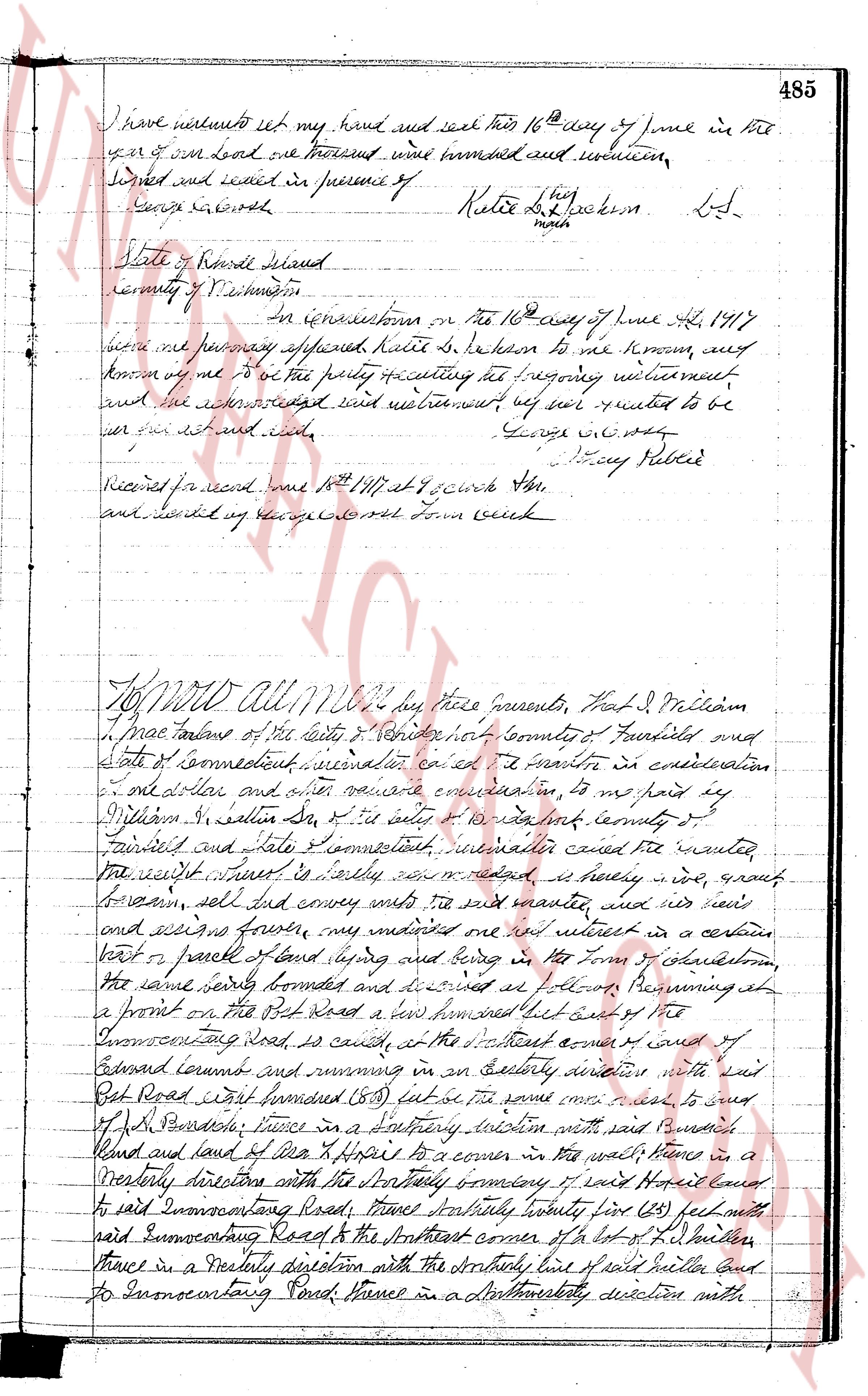
I KNOW ALL men by these presents, That I, Katie
do citizen of Charleston, County of Washington, State of Rhode
Island in consideration of the sum of an Intact to me paid by
William M. Hopkins of said County in the receipt whereof I am
hereby acknowledged, my remise release and forever quitclaim
unto the said William M. Hopkins his heirs and assigns
forever as the right title interest property claim and common
I now have or may have or would have or claiming in and to
a certain lot called and known as a lot situated in charming one
acre corner lot bounded on the north by land of George A. Simmons
and Emma Tobel and east of a small House, in the East
by the highway but since it is’t’y to Court hill, north to the south
and west by land of said Simmons and Peelle, Being the same
which I did buy and sell from said William M. Hopkins recorded
in the office of said Charleston, Rhode Is 17th July 21
I do hereby and here to the same, with all the rights
privileges and appurtenances thereto appertaining unto and azide to the
use of the said William M. Hopkins his heirs and assigns as
forever
And I the undersigned Katie Hopkins for myself
and for my heirs executors and administrators, do covenant seete
to the said William M. Hopkins his heirs and assigns, that will
never move nor disturb the aforesaid premises unto the said
William M. Hopkins his heirs and assigns forever resist the
several claims and demands of all persons claiming by
heritage, or other means
In Testimony whereof
page 2
I have set my hand and seal this 16th day of June in the
year of our lord one thousand one hundred and nineteen,
Signed and sealed in presence of Katie L. [signature] Lsd.
Louis [signature]
march
State of Rhode Island
County of Providence
On certification on the 16th day of June A.D. 1917
before me personally appeared Katie S. Robinson to me known, and
known by me to be the party requesting the foregoing witnessment
and the acknowledged said witnessment as well wanted to be
her act set and sealed.
George W. [signature] Jay Potter
Received for record June 16th 1871 at 4 o'clock A.M.
and entered by George W. Town clerk
To all men to whom these presents, that I J. William
I mae tailor of the city of Providence county of Providence and
state of connecticut, considered and called as a matter in consideration
of my dear and other valuable consideration, to me hand by
William S. saltan Sr. of the city of providence county of
providence and state Connecticut, witnessed called wanted
the right title interest in herdy saying now and reserved here in ground
to have, sell and convey unto the said wanted, and his heirs
and assigns forever, my undivided one half interest in a certain
part or parcel of land lying and being in the Town of Johnston
the same being formerly bounded and described as follows Beginning at
a front on the Pot Road a line two hundred feet east of the
Enumerating Road, is called, at the southeast corner of court
Edward corner and running in an easterly direction with said
Pot Road east formed bounded (53) feet as the same comes close to said
J. P. Parson's fence in a southerly direction with said promised
land and land of Asa H. Harris to a corner in the wall then in a
northerly direction with the westerly boundary of said Harris land
to said Enumerating Road, thence northerly twenty five (25) feet with
said Enumerating Road to the northeast corner of a lot of L. Hilton
thence in a westerly direction with the southerly line of said Hilton land
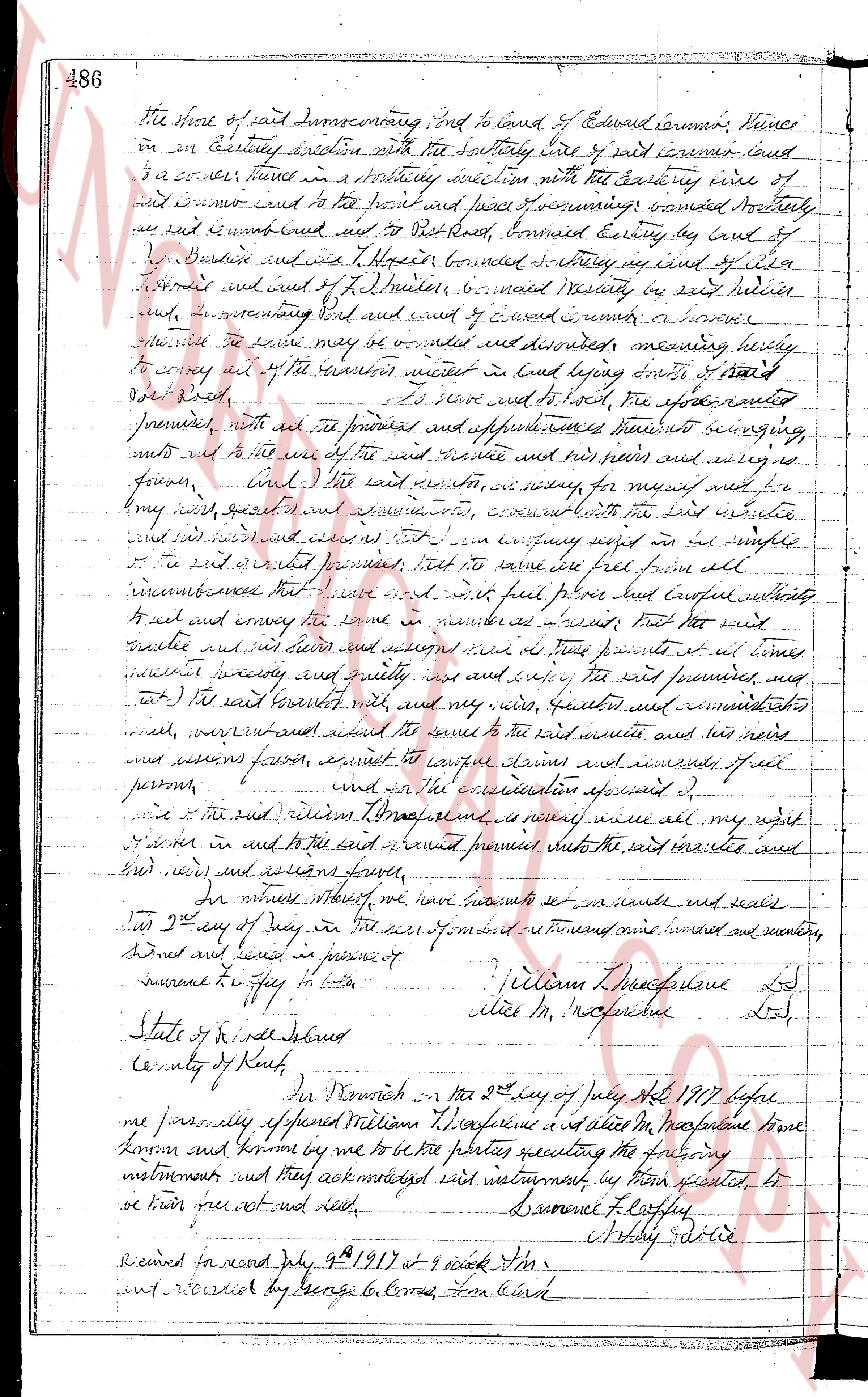
to Enumerating Road, thence in a northwesterly direction with
The page as recorded