The instrument's own words
page 1 · read by Gemma vision
56
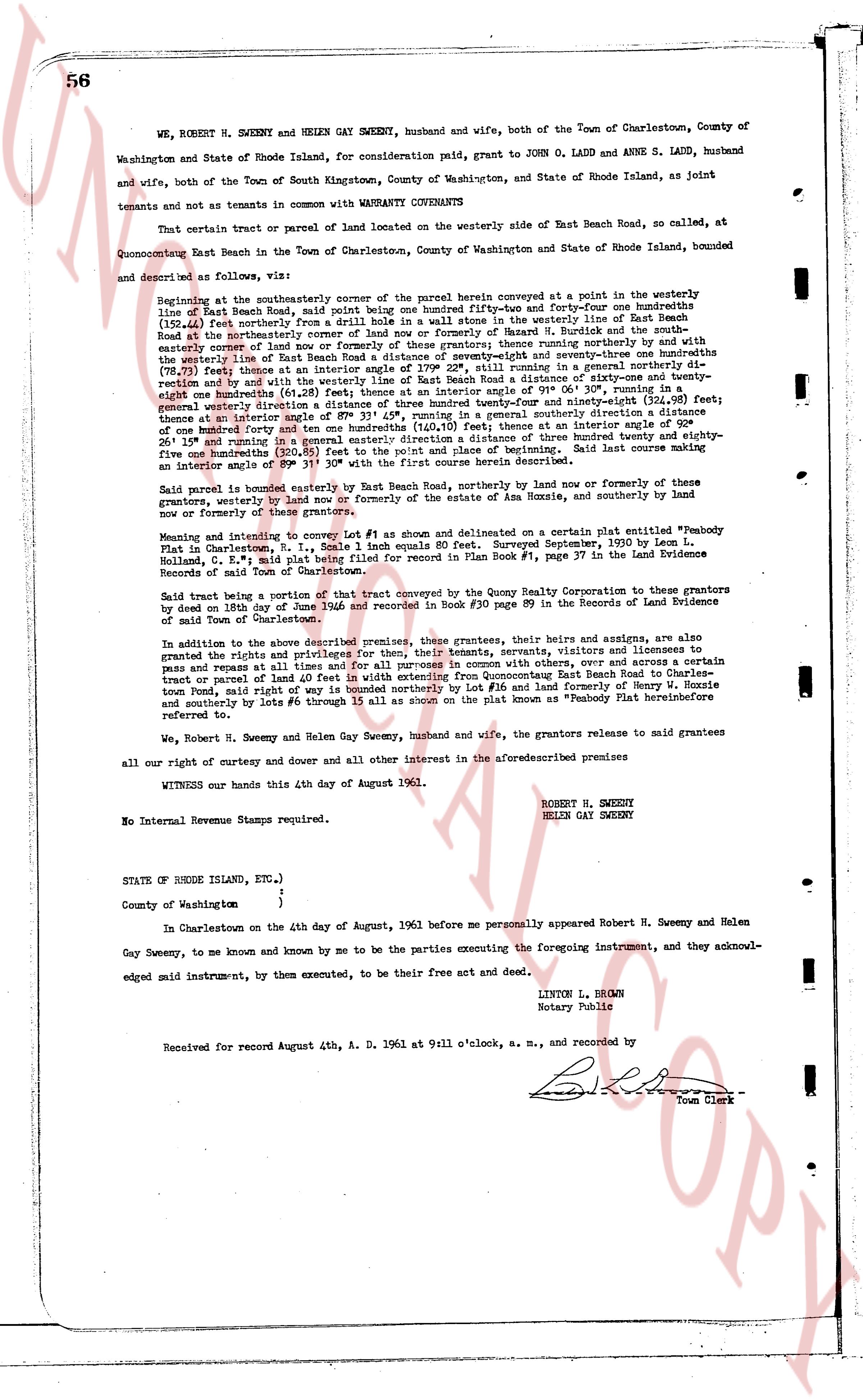
WE, ROBERT H. SWEENY and HELEN GAY SWEENY, husband and wife, both of the Town of Charlestown, County of Washington and State of Rhode Island, for consideration paid, grant to JOHN O. LADD and ANNE S. LADD, husband and wife, both of the Town of South Kingstown, County of Washington, and State of Rhode Island, as joint tenants and not as tenants in common with WARRANTY COVENANTS
That certain tract or parcel of land located on the westerly side of East Beach Road, now called, at the Quonocutonk East Beach in the Town of Charlestown, County of Washington and State of Rhode Island, bounded and described as follows, viz:
Beginning at the southeasterly corner of the parcel herein conveyed at a point in the westerly line of East Beach Road, said point being one hundred fifty-two and four-forty one hundredths (152.41 feet) westerly from a nail driven into a wall in the westerly line of East Beach Road at the southeasterly corner of said road; thence running westerly and then northerly in a general easterly corner of land now or formerly of one grantees; thence running northwest eight and seven-twelfths (8 7/12 degrees) then at a interior angle of 179° 22', still running in a general northerly direction eighty-seven (87 feet) then at a interior angle of 179° 22', still running in a general northerly direction eighty-seven (87 feet) then at a interior angle of 179° 22', still running in a general northerly direction eighty-seven (87 feet) then at a interior angle of 91° 06' 30", running in a general easterly direction of a distance of ninety-three (93 feet) then at a interior angle of 179° 22', still running in a general easterly direction of a distance three hundred twenty one hundredths (321.00 feet) then at a interior angle of 91° 06' 30", running in a general southerly direction a distance of one hundred forty and three ten hundredths (140.30 feet) then at a interior angle of one hundred eighty-eight and eighty-one hundredths (188.81 degrees) then at a distance of three hundred forty and five one hundredths (340.50 feet) to the point and place of beginning. Said land coursing mainly at a interior angle of 91° 06' 30" then running in a general easterly direction.
Said parcel is bounded easterly by East Beach Road, northerly by land now or formerly of these grantors, westerly by land now or formerly of the estate of Asa Hoxie, and southerly by land now or formerly of these grantors.
Meaning and intending to convey Lot # 1 as shown and delineated on a certain plat entitled "Penobscot Plat in Charlestown, R. I., Scale 1 inch equals 80 feet. Surveyed September 1930 by Leon L. Holland, C. E." said plat being filed for record in Plan Book # 1, page 37 in the Land Evidence Records of said Town of Charlestown.
Said being a portion of that tract conveyed by the Colony Realty Corporation to these grantors by deed on 18th day of June 1946 and recorded in Book # 30 page 89 in the Records of Land Evidence of said Town of Charlestown.
In addition to the above described premises, these grantors, their heirs and assigns, are also granted the rights and privileges for them, their tenants, servants, visitors and licensees to pass and repass at all times and purposes, by way of a road, over and across a certain tract or parcel of land 40 feet in width extending from Quonocutonk East Beach Road to Charlestown Pond, said right of way being over and across land formerly of Asa Hoxie, and northerly and southerly by lots # 6 through 15 all as shown on the plat known as "Penobscot Plat" hereinbefore referred to.
We, Robert H. Sweeny and Helen Gay Sweeny, husband and wife, the grantors release to said grantees all our right of curtesy and dower and all other interest in the aforesaides premises
WITNESSED our hands this 4th day of August 1961.
ROBERT H. SWEENY
HELEN GAY SWEENY
No Internal Revenue Stamps required.
STATE OF RHODE ISLAND, ETC.)
)
County of Washington )
)
In Charlestown on the 4th day of August, 1961 before me personally appeared Robert H. Sweeny and Helen Gay Sweeny, to me known and by me to be the parties executing the foregoing instrument, and they acknowledged said instrument, by them executed, to be their free act and deed.
LINTON L. BROWN
Notary Public
Received for record August 4th, A. D. 1961 at 9 11 o'clock, a. m., and recorded by
[Signature]
Town Clerk
The page as recorded