The instrument's own words
page 1 · read by Gemma vision
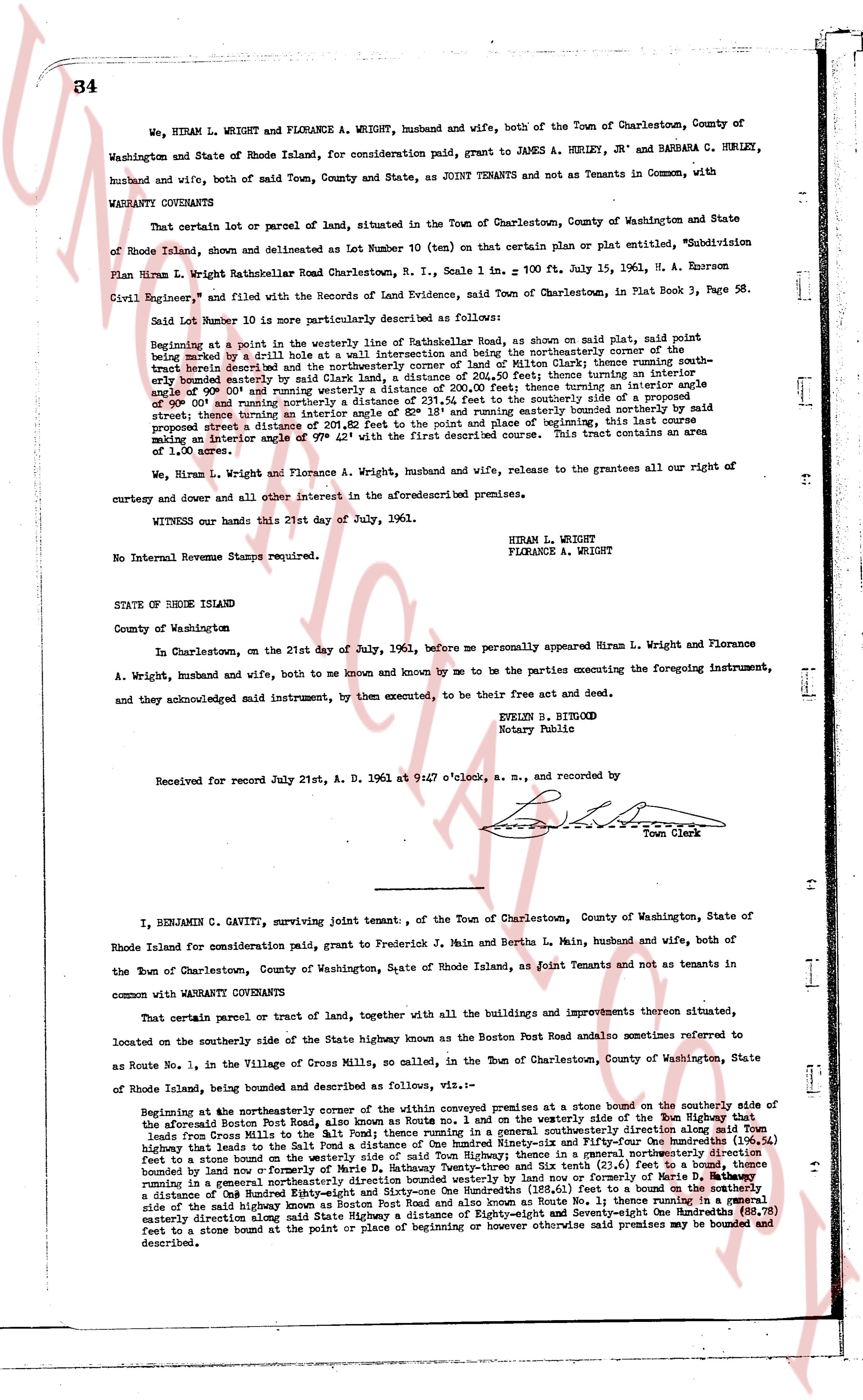
34
We, HIRAM L. WRIGHT and FLORANCE A. WRIGHT, husband and wife, both of the Town of Charlestown, County of Washington and State of Rhode Island, for consideration paid, grant to JAMES A. HERLEY, JR' and BARBARA G. HIRLEY, husband and wife, both of said Town, County and State, as JOINT TENANTS and not as Tenants in Common, with WARRANTY COVENANTS
That certain lot or parcel of land, situated in the Town of Charlestown, County of Washington and State of Rhode Island, shown and delineated as Lot Number 10 (ten) on that certain plat or plan entitled, "Subdivision Plan Brian W. Wright Rattlehalloween Road Charlestown, R.I., Scale 1 in. = 100 ft. July 15, 1961, H. A. Emerson Civil Engineer," and filed with the Records of Land Evidence, said Town of Charlestown, in Plat Book 3, Page 58.
Said Lot Number 10 is more particularly described as follows:
Beginning at a point in the westerly way of Rattlehalloween Road as shown on said plat, said point being indicated by a small hole in a stone wall intersecting the northerly corner of the northerly boundary of the tract herein described and the northeasterly corner of Lot of Milton Welch; thence running southeasterly along the northerly boundary of said Lot of Milton Welch 131.00 feet; thence turning an interior angle of 90° 00' and running westerly a distance of 200.00 feet; thence turning an interior angle of 90° 00' and running northerly a distance of 131.00 feet to the westerly side of the westerly way of Rattlehalloween street thence turning an interior angle of 82° 18' and running easterly bounded northerly by said street to a point distance of 201.25 feet to the point and place of beginning the line being a straight line distance of angle 79° 42' with the first described course. This tract contains an area of 1.00 acre.
We, Hiram L. Wright and Florance A. Wright, husband and wife, release to the grantees all our right of curtesy and dower and all other interest in the aforesaid described premises.
WITNESS our hands this 21st day of July, 1961.
HIRAM L. WRIGHT
FLORANCE A. WRIGHT
No Internal Revenue Stamps required.
STATE OF RHODE ISLAND
County of Washington
In Charlestown, on the 21st day of July, 1961, before me personally appeared Hiram L. Wright and Florance A. Wright, husband and wife, both to me known and known by me to be the parties executing the foregoing instrument, and they acknowledged said instrument, by them executed, to be their free act and deed.
EVELYN B. BIRGOOD
Notary Public
Received for record July 21st, A. D. 1961 at 9:47 o'clock, a. m., and recorded by [?]
Town Clerk
----
I, BENJAMIN C. GAVITT, surviving joint tenant, of the Town of Charlestown, County of Washington, State of Rhode Island for consideration paid, grant to Frederick J. Main and Bertha L. Main, husband and wife, both of the Town of Charlestown, County of Washington, State of Rhode Island as joint Tenants and not as tenants in common with WARRANTY COVENANTS
That certain parcel or tract of land, together with all the buildings and improvements thereon situated, located on the southerly side of the state highway known as the Boston Post Road and also sometimes referred to as Route No. 1, in the Village of Cross Mills, so called, in the Town of Charlestown, County of Washington, State of Rhode Island, being bounded and described as follows, viz.:-
Beginning at the southeastly corner of the within conveyed premises at a stone bound on the southerly side of the aforesaid Boston Post Road, also known as Route No. 1 on the westerly side of the highway running southeasterly a distance of 150 feet to a stone bound then running in a southeasterly direction along said Town highway that leads to the Salt Pond a distance of One hundred Sixty-six and Fifty-four One hundredths (166.54) feet to a stone bound then running in a southeasterly direction a distance of 50 feet to a stone bound then bounded land now formerly of Marie D. Hathaway Twenty-three and six tenths (23.6) feet to a bound, thence bounded land now formerly of Marie D. Hathaway One hundred Sixty-one One hundredths (161.01) feet to a bound on the southerly side of said highway known as Boston Post Road and also known as Route No. 1 then running in a westerly direction along said highway a distance of One hundred Eighty-seven and Seventy-eight One hundredths (187.78) feet to a stone bound at the point or place of beginning or otherwise however said premises may be bounded and described.
page 2 · read by Gemma vision
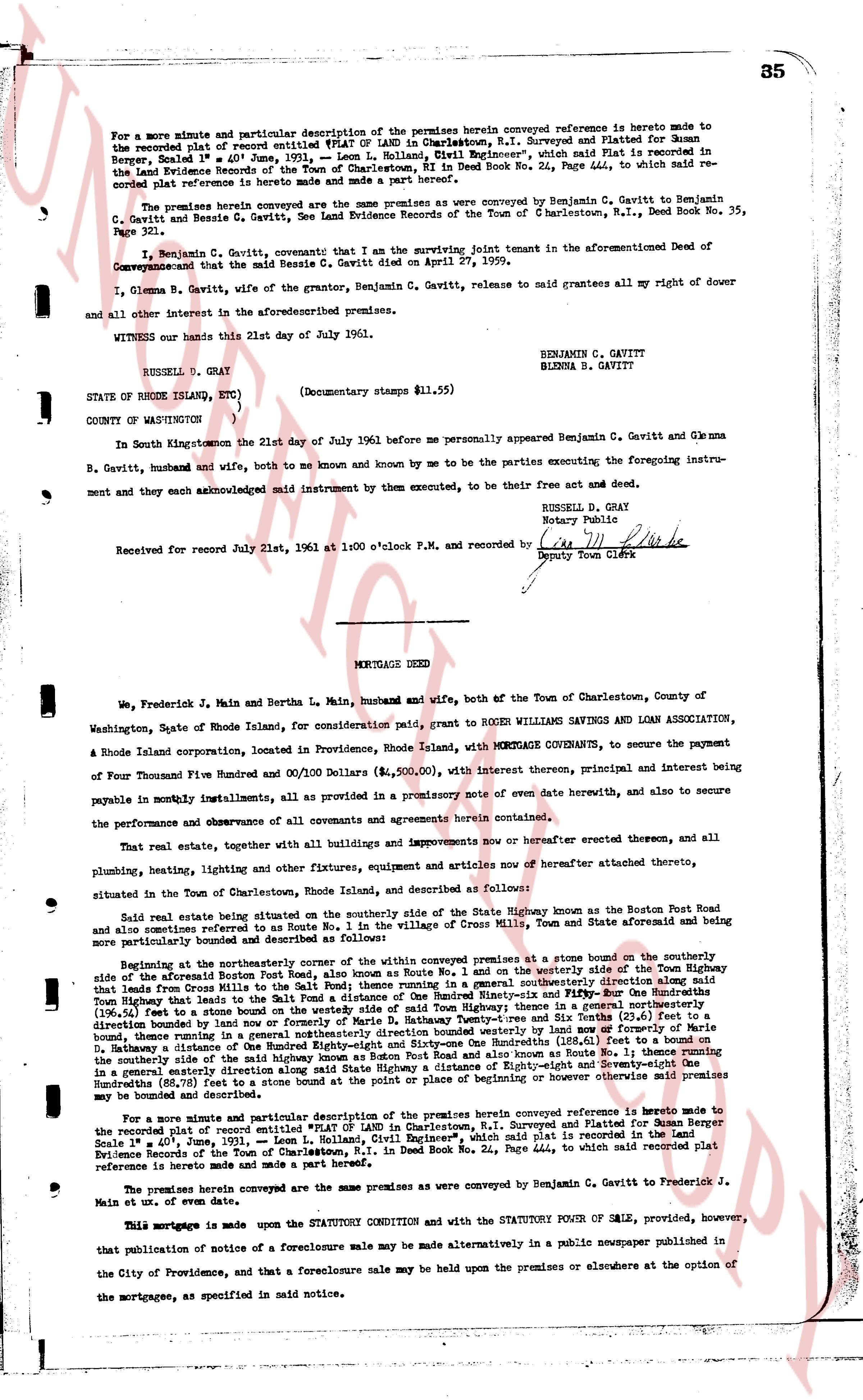
85
For a more minute and particular description of the premises herein conveyed reference is hereto made to the recorded plat of record entitled "PLAT OF LAND in Charlestown, R.I. Surveyed and Platted for Susanne Bergla dated June 1st, 1931," by "Leon L. Holland, Civil Engineer", which said plat is recorded in the Land Evidence Books of the Town of Charlestown, RI Deed Book No. 24, Page 444, to which said recorded plat reference is hereto made and made a part hereof.
The premises herein conveyed are the same premises as were conveyed by Benjamin C. Gavitt to Benjamin C. Gavitt and Glenna B. Gavitt, husband and wife, by a deed recorded in the Town of Charlestown, R.I., Deed Book No. 35, Page 321.
I, Benjamin C. Gavitt solemnly covenant that I am the surviving joint tenant in the aforementioned Deed of Conveyance and that the said Bertha S. Gavitt died on April 27, 1959.
I, Glenna B. Gavitt, wife of the grantor, Benjamin C. Gavitt, delivered to said grantees all my right of dower and all other interest in the aforementioned premises.
WITNESS our hands this 21st day of July 1961.
RUSSELL D. GRAY BENJAMIN C. GAVITT
GLENNA B. GAVITT?
STATE OF RHODE ISLAND, ETC. }
} SS
COUNTY OF WASHINGTON }
In South Kingstown the 21st day of July 1961 before me personally appeared Benjamin C. Gavitt and Glenna B. Gavitt, husband and wife, both of us known and known by me to be the parties executing the foregoing instrument and they acknowledged same known identified by them executed, to be their free act and deed.
RUSSELL D. GRAY
Notary Public
Received for record July 21st, 1961 at 1:00 o'clock P.M. and recorded by [?]
Deputy Town Clerk
----
MORTGAGE DEED
We, Frederick J. Main and Bertha L. Main, husband and wife, both of the Town of Charlestown, County of Washington, State of Rhode Island, for consideration paid, grant to ROGER WILLIAMS SAVINGS AND LOAN ASSOCIATION, a Rhode Island corporation, located in Providence, Rhode Island, with MORTGAGE COVENANTS, to secure the payment of Four Thousand Five Hundred Dollars and 00/100 Dollars ($4,500.00), with interest thereon, principal and interest being payable in monthly installments, all as provided in a promissory note of even date herewith, and to secure the performance and observance of all covenants and agreements herein contained.
That real estate, together with all buildings and improvements now or hereafter erected thereon, and all plumbing, heating, lighting and other fixtures, equipment, articles and movies now or hereafter attached thereto, situated in the Town of Charlestown, Rhode Island, and described as follows:
Said real estate being situated on the southerly side of the State Highway known as the Boston Post Road and also known as Route No. 1, in the Village of Cross Mills, Town and State aforesaid and being more particularly bounded and described as follows:
Beginning at the northeasterly corner of the lot in covalently premises as a stone bound on the southerly side of the State Highway known as Route No. 1 and on the westerly side of the Town Highway that leads from Cross Mills to the Salt Pond; thence running in a south southeasterly direction [?] feet to a stone bound on the westerly side of a lot conveyed to Frederick J. Main and Bertha L. Main in Deed Book Thirty-Eight and Folio Four One Hundred Eighty-Four (38, 484), (196.54) feet to a stone bound on the westerly side of said Town Highway; thence in a general northerly direction westerly to a stone bound on the southerly side of said Town Highway and six feet 0 inches more or less formerly of Martha S. Gateway a distance of a general northerly direction between said Town Highway and also known as Route No. 1; thence running in a general easterly direction along said State Highway a distance of (116.01) feet to a stone bound, thence in a general easterly direction along said State Highway a distance of (116.01) feet to the place of beginning or however otherwise said premises may be bounded and described.
For a more minute and particular description of the premises herein conveyed reference is hereto made to the recorded plat of record entitled "PLAT OF LAND in Charlestown, R.I. Surveyed and Platted for Susanne Bergla Scale 1" = 40', June, 1931," Leon L. Holland, Civil Engineer", which said plat is recorded in the Land Evidence Books of the Town of Charlestown, RI Deed Book No. 24, Page 444, to which said recorded plat reference is hereto made and made a part hereof.
The premises herein conveyed are the same premises as were conveyed by Benjamin C. Gavitt to Frederick J. Main et ux, of even date.
This mortgage is made upon the STATUTORY CONDITION and with the STATUTORY POWER OF SALE provided, however, that publication of notice of a foreclosure sale may be made alternatively in a public newspaper published in the City of Providence, and that a foreclosure sale may be held upon the premises or elsewhere at the option of the mortgagees, as specified in said notice.
The page as recorded