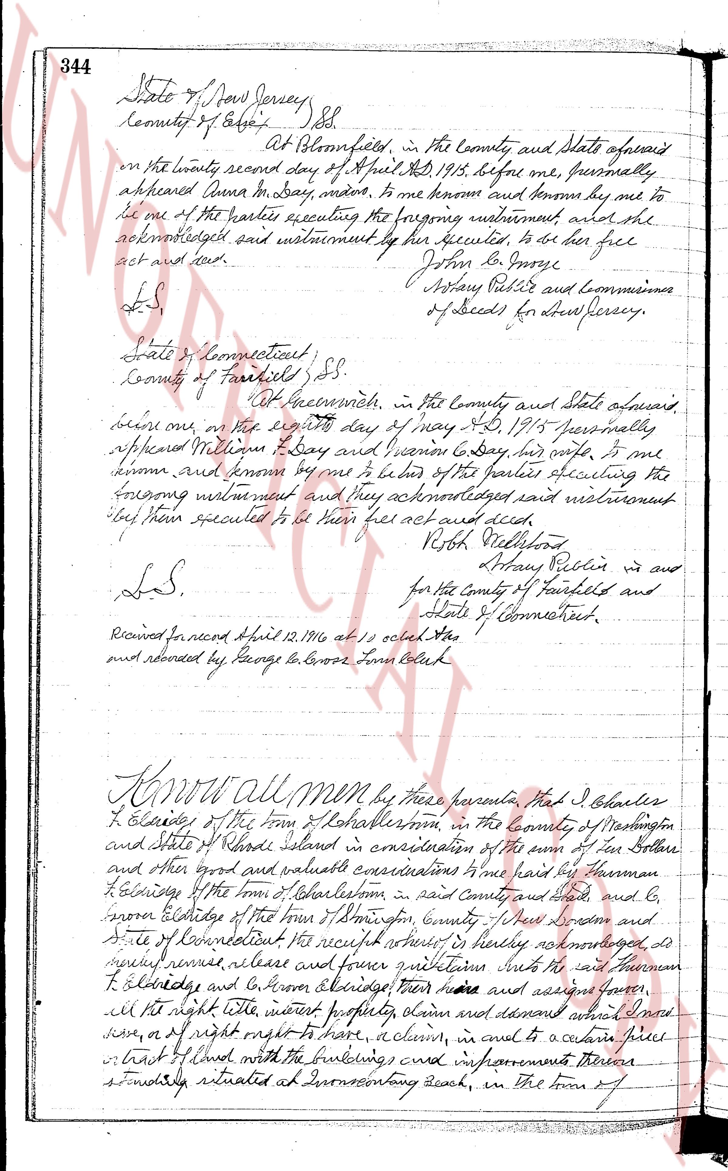
The instrument's own words
Attribution under review. The portal's file number is shared by more than one instrument, and the words below could not be placed with certainty on this one by their own evidence (page stamp, parties, dates); they may belong to a neighbouring instrument. Read them as the record of the page, not yet as this deed's own.
page 1
STATUTORY FORM OF WARRANTY DEED
CHARLESTOWN ESTATES, INC., a corporation duly incorporated under the laws of the State of Rhode Island,
and having a place of business in the Town of Westerly, County of Washington and State of Rhode Island, for
consideration paid grant to JULIA M. MCKENZIE of the Town of Stonington, County of New London and State of
Connecticut,
with WARRANTY, with covenants WARRANTY.
A certain tract or parcel of land located in the Town of Charlestown, County of Washington and State of
Rhode Island, and shown as Lot # 72 on a certain plan or plat entitled, "Shoreline Acres, property of
Charlestown Estates, Inc., Charlestown, Rhode Island," p.1 scale one inch equals 80 feet, November 14, 1968,
West Losts Exhibit, "Sprad" being plotted according to the Land Evidence Records said Town of Charlestown,
and bounded as follows:
Beginning at a point on the easterly line or boundary Emma Avenue, said point being the southeasterly corner of the
parcel herein conveyed and the northeasterly corner of the lot of Raymond A. Giormanni et al; thence northerly
along said easterly line of Emma Avenue to the northeasterly corner of the said parcel herein conveyed; thence east,
thence turning a right angle and extending easterly 241 feet, more or less and to the northeasterly corner of the
parcel herein conveyed; thence southerly 135 feet, more or less and to the point of beginning; thence south 51 1/2 degrees
the southeasterly corner of the other parcel herein conveyed, said point also being the northeasterly corner of
said disposed land; thence north 45 degrees east 135 feet, more or less and to the beginning; thence northerly along
said boundary line and bounded northerly on the other side of this grant, further southeasterly by said Giormanni land,
easterly by land of Mary L. Briggs and westerly by Northside Avenue.
In consideration of the purchase price provided it is understood that the following restrictions and
servitudes shall be and remain in full force and effect for a period of thirty years from November 1, 1968:
The above conveyed premises shall be used for residential purposes only, and as a site for one only residence,
said residence to be of a class not cut less than three thousand dollars, to be built not nearer the street
line than seventy five feet, building to be set back from the street line, and no portion of any accessory
erected on the lot shall approach the side line or rear line nearer than five feet, no detached garage or
other structure shall be built on the lot nearer the street line than seventy five feet, no commercial use,
all toilets and sinks must drain into a septic tank or cesspool.
In consideration of the purchase price, the grantee, her heirs, executors, administrators and assigns,
licensees, guests and invitees of the grantee, shall have a right of way to cross and recross at all times and for all
purposes, in common with others, over the rights of way or roads to the public highway, and to cross and
recross at all times and for all purposes, in common with others, on Emma Avenue and Park Avenue and
recross at all times and for all purposes, in common with others, for the purpose of using said Lakeon for the keeping of a small Boat or
small boat house and for the purpose of accessing said lake, executors, administrators and assigns,
boats and as a right of way to Charlestown Pond and said grant includes Lot #554 and Lot #555 to the beach or ocean, and
licensees, guests and invitees of the grantee, shall have a right of way to cross and recross at all times and for all
purposes are granted the use of the said lots for the purpose of parking vehicles in common with others, said lots
being located in the Town of Charlestown, County of Washington, State of Connecticut, R.I., property of S. H.
Davis, Inc., Leon L. Hollis, C.E., makes 1 inch equals 100 feet, revised July 1, 1961, which plat is
duly recorded in the Land Evidence Records of said Town.
In consideration of the above rights and privileges to cross and recross from the within granted premises
to the highway, Charlestown Pond and the Atlantic Ocean, the grantee, her heirs, executors, administrators,
assigns, licensees, guests and invitees of the grantee, shall hold harmless and indemnify and save harmless
from any damage or liability of any kind or nature due to the use of said drives, streets, roads or
rights of way as hereinbefore specified. The use of Parcel "M" and Lots #554 and #555 shall not be
commercial in any way.
IN WITNESS WHEREOF, the said corporation has caused these presents to be duly signed by its President and
Treasurer, hereby authorized, and the corporate seal to be heretofore affixed at Westerly, Rhode Island,
this 7th day of July 1961.
CHARLESTOWN ESTATES, INC.
(Documentary stamps $1.10)
HOWARD E. THORP
President
NELSON H. THORP (Corporate seal)
Treasurer
STATE OF RHODE ISLAND
COUNTY OF WASHINGTON
In Westerly on the 7th day of July 1961, before me personally appeared Howard E. Thorp, to me known and
known by me to be the President of said corporation, and Nelson H. Thorp to me known and known by me to be the
Treasurer of said corporation, and they acknowledged said instrument thus executed to be the free act and
deed of said corporation, and as well individually.
FLORENCE J. WELLS (L.S.)
Notary Public
Received for record July 10th A.D. 1961 at 9:10 o'clock A.M. and recorded by [Signature]
Deputy Town Clerk
MORTGAGE DEED
KNOW ALL MEN BY THESE PRESENTS, That We, ROBERT D. DINWOODIE and MARGARET B. DINWOODIE, husband and wife,
both of the Town of Hopkinton, County of Washington and State of Rhode Island, hereinafter called the mortgagors
for consideration paid, grant to THE WASHINGTON TRUST COMPANY, a corporation created by Act of the General
Assembly of the State of Rhode Island, located and having its principal office and place of business in the Town
page 2
10
of Westerly, County of Washington and State of Rhode Island, hereinafter called the mortgagors, with MORTGAGE
COVENANTS, to secure the payment of THIRTEEN THOUSAND FIVE HUNDRED and 00/000 ($13,500.00) Dollars, with
interest thereon at the rates specified in a certain negotiable promissory note of the mortgagors, of even
date herewith, said principal and interest being payable in monthly installments of NINETY TWO and 57/100
($92.57) Dollars on the 1st day of each successive month commencing March 1, 1962 until said principal
and interest are paid in full, all as provided in said note, the following described land, together with all
buildings and other improvements now or hereafter erected thereon, all the hereditaments, appurtenances and
rights thereunto belonging or any in wise now or hereafter appertaining, and together with and including as any
part of the realty, all heating and air-conditioning apparatus, plumbing, stoves, store doors and windows,
gas, oil and electric fixtures, screens, awnings, shutter casings, and other fixtures of whatever kind on said
premises or hereafter placed thereon prior to the full payment and discharge of this mortgage, situated in
the Town of Charlestown, County of Washington and State of Rhode Island, consisting of two tracts, and
bounded and described as follows:
FIRST TRACT: That certain parcel or tract of land located in the town of Charlestown, County of Washington
and State of Rhode Island and shown as lot #15 (further on a certain plan or plat entitled, "Smiley's Acres Avenue,
property of Charleston Estates, Inc." dated February 14, 1961, Scale 1 inch equals 80 feet,
November Road, R.I., signed by R.A. Smiley, p.s.m.) said plan being recorded with the Land Records of
town of Charlestown, and bounded and described as follows:
Commencing at the intersection of the northerly line of the premises hereby conveyed and the westerly line of
Hozzie Avenue and point taking the same as a point of beginning; then bounded southerly by said Hozzie
Avenue for one hundred fifty (150) feet, more or less, then bounded southerly by said Hozzie Avenue for
one hundred fifty (150) feet, more or less, then bounded westerly along said interior line; then bounded
easterly along said interior line for one hundred fifty (150) feet, more or less, then bounded northerly along
intersecting wall eighty (80) feet, more or less, to the northeasterly corner of the parcel hereby conveyed;
then bounded northerly along the northerly line of the parcel hereby conveyed one hundred eighty
fifty (180) feet, more or less, to the westerly line of Hozzie Avenue, then bounded northerly by Hozzie
Avenue for one hundred fifty (150) feet, more or less, to the point of beginning; then bounded easterly by the
northerly line of Hozzie Avenue for one hundred fifty (150) feet, more or less, to the point of beginning,
bounded easterly by said
Hozzie Avenue.
Together with all rights and privileges, and subject to all restrictions and conditions as contained in
title deed.
Being the same premises conveyed to the mortgagors herein by Paul Binocciore and Mary Elizabeth Binocciore
by deed dated June 9, 1960, recorded in the Land Evidence Records of the Town of Charlestown, R.I., in
Book No. 37, page 299 and bounded and described as follows:
SECOND TRACT: A certain parcel or tract of land located in the town of Charlestown, County of Washington
and State of Rhode Island and shown as lot #14 on a certain plan or plat entitled "Smiley's Acres, property
of Charleston Estates, Inc." dated February 14, 1961, Scale 1 inch equals 80 feet, November Road,
of Charlestown, R.I., signed by R.A. Smiley, p.s.m.) said plan being recorded in the Land Evidence Records of
said Town of Charlestown, and bounded and described as follows:
Commencing at the southeasterly corner of the premises hereby conveyed said point being the intersection
line of Hozzie Avenue and also being the northerly corner of land now or formerly of Paul Binocciore and
Mary Elizabeth Binocciore; then bounded southerly by said Hozzie Avenue for one hundred fifty (150) feet,
more or less, to the southeasterly corner of the parcel hereby conveyed, then bounded westerly along said
westerly corner of the parcel herein conveyed, being bounded southerly by said Binocciore land; then bounded
northerly along said interior line for one hundred fifty (150) feet, more or less, then bounded easterly along
northerly line of said premises bounded westerly by land now or formerly of Fawcett, A. Duryea et ux; thence
easterly one hundred fifty (150) feet bounded northerly by land now or formerly of Fawcett, A. Duryea et ux;
thence south one hundred fifty (150) feet bounded westerly by land now or formerly of
at a point on the southeasterly side of Hozzie Avenue, then bounded northerly by land now or formerly of
Francis Fish et ux; thence northerly seventy-five (75) feet, more or less, to the point of side of said Hozzie Avenue
to the point of beginning; then bounded easterly by said Hozzie Avenue.
Together with all rights and privileges, and subject to all restrictions and conditions as contained in
title deed.
Being the same premises conveyed to the mortgagors herein by Leverett A. Briggs and Ada L. Briggs by
deed dated July 6, 1960, and recorded in said Charlestown Land Evidence Records in Book No. 37 at page 306.
This mortgage is made upon the STATUTORY CONDITION and with the STATUTORY POWER OF SALE; provided,
however, that a foreclosure may be held upon the premises or elsewhere at the option of the mortgagor, as
specified in the notice of such sale.
This mortgage is made subject to those additional agreements and covenants contained in that instrument
entitled ADDITIONAL COVENANTS OF MORTGAGORS OF THE WASHINGTON TRUST COMPANY executed hereby by the mor-
tgagors, a copy of which has this day been received by the mortgagors, the exact terms of which are on
record in said Town of Charlestown, R.I., in Land Evidence Records book 34, at pages 369 and 370. Said agreements
and covenants are by reference made part of this mortgage, and if default shall be made in the observance
or performance of any of the same, it shall be lawful for the mortgagee to sell the above described premises
pursuant to said STATUTORY POWER OF SALE.
John Odeen and wife and land buyer now or formerly of
page 3
11
WITNESS our hands this 7th day of July, 1961.
Executed in presence of
VIRGINIA M. ALGIERE
ROBERT G. DINWOODIE
MARGARET B. DINWOODIE
STATE OF RHODE ISLAND
County of Washington.
In Westerly on the 7th day of July 1961, before me personally appeared the above named ROBERT G. DINWOODIE
and MARGARET B. DINWOODIE, husband and wife, both to me known and known by me to be the parties executing the
foregoing instrument, and severally acknowledged said instrument by them executed to be their free act
and deed.
ELIZABETH R. KENTON (L.S.)
Notary Public
My Commission expires June 30, 1966
Received for record July 10th A.D. 1961 at 9:15 o'clock A.M. and recorded by [Signature]
Deputy Town Clerk
DISCHARGE OF MORTGAGE
THE WASHINGTON TRUST COMPANY, of Westerly, Rhode Island, having received full payment and satisfaction
of the within mortgage, recorded in the Land Records of the Town of Charlestown, R. I. in Book Number 38,
Page 8 & 9 does hereby cancel and discharge the same.
IN TESTIMONY WHEREOF, said Company has caused these presents to be signed and its Corporate Seal to be
hereto annexed by Raymond H. Holbrook its Treasurer duly authorized, this 25th day of May, A. D. 1962
Signed and sealed in presence of
Virginia M. Algiere
[Signature]
Raymond H. Holbrook, Treasurer
THE WASHINGTON TRUST COMPANY
Received for record on May 28th, 1962 A. D. at 9:07 o'clock A.M. and recorded by [Signature]
Secretary Town Clerk
MORTGAGE DEED
I, Jeremiah Stanton, Jr. of the Town of South Kingstown, County of Washington, State of Rhode Island,
being unmarried hereby for consideration paid, grant to American Finance Corporation, a corporation created
and doing business under the laws of the State of Rhode Island with MORTGAGE COVENANTS, to secure the payment
of Eight hundred eighty and 00/100 ($880.00) Dollars payable as provided in a certain negotiable promissory
note of even date herewith.
That certain parcel or tract of land, together with the buildings and improvements thereon,
situated in the Town of Charlestown, County of Washington, State of Rhode Island, bounded and
described as follows:
Beginning at a point on the easterly side of the Town Highway on the northerly side of a brook or
small stream that crosses said Town Highway there running northerly, a distance of Forty
(40) feet, more or less, to land now or formerly of George W. Moore and a distance running easterly
(40) feet, more or less, to land now or formerly of George W. Moore and Karli land, until it comes now or formerly
of George W. Tourgee and S. A. Tourgee; thence turning and running southerly bounded easterly
by said Tourgee land until it comes to a brook or small stream thence turning and running westerly
bounded northerly bounded said brook or small stream, to said Town Highway at the point of
beginning.
Meaning and intending to convey the same premises conveyed by deed from Lloyd L. Hood to these
Grantors premises, said deed bearing Date of December 3rd, 1953 and recorded in the Records of Land
Evidence, said Town of Charlestown, in Book No. 33 and Page 67.
This mortgage is made under the STATUTORY CONDITION and with the STATUTORY POWER OF SALE.
WITNESS my hand and seal this 5th day of July, 1961.
JEREMIAH STANTON, JR.
In presence of:
MARY B. MEIER
STATE OF RHODE ISLAND, ETC.)
COUNTY OF PROVIDENCE )
In Providence on the 5th day of July, 1961 before me personally appeared [blank] to me
known and known by me to be the party executing the foregoing instrument, and he acknowledged said instru-
ment, by him executed, to be his free act and deed.
ROGER PELLI
Notary Public
Received for record July 10th A.D. 1961 at 9:31 o'clock A.M. and recorded by [Signature]
Deputy Town Clerk
The page as recorded