The instrument's own words
page 1 · read by Gemma vision
5
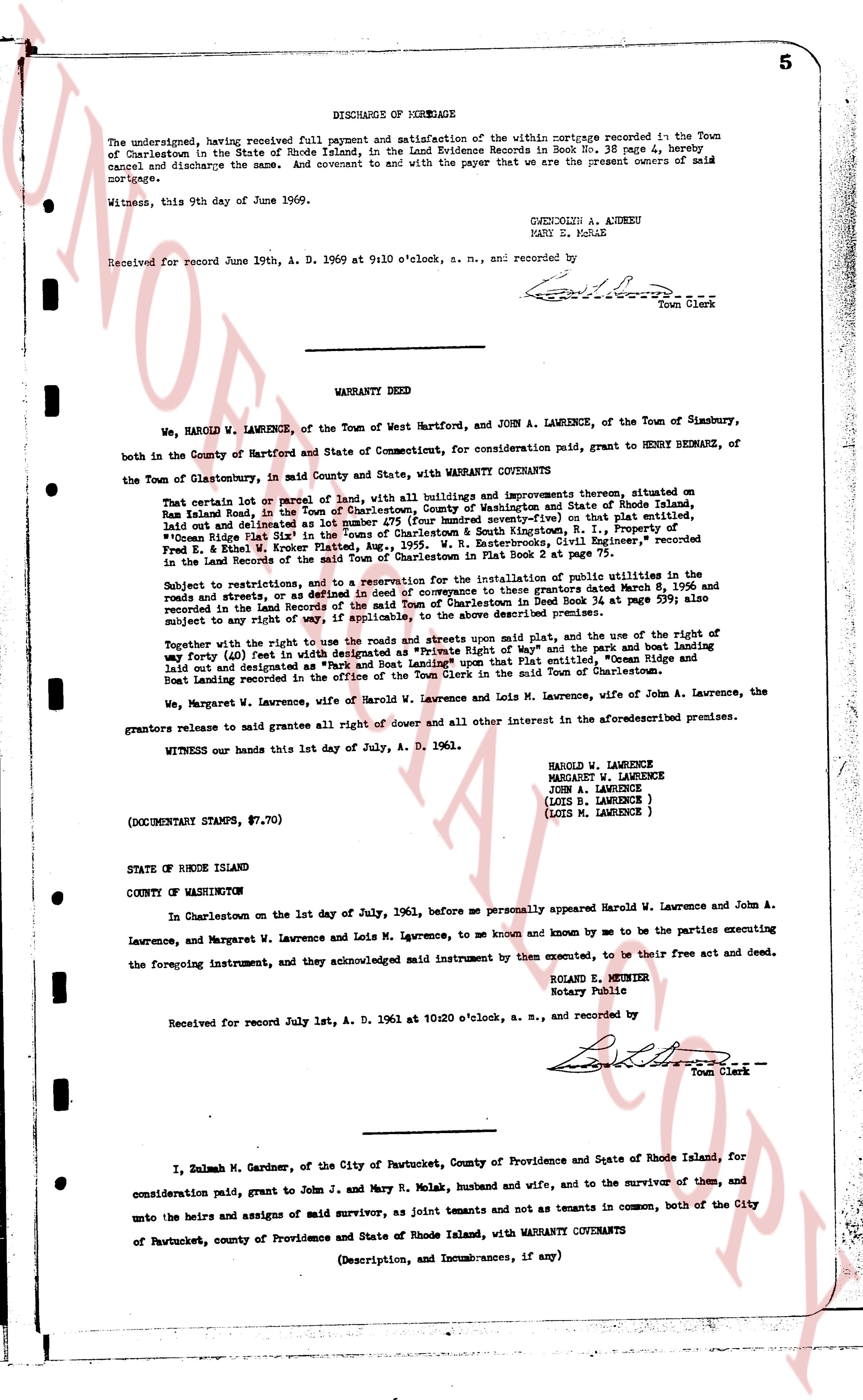
DISCHARGE OF MORTGAGE
The undersigned, having received full payment and satisfaction of the within mortgage recorded in the Town of Charlestown in the State of Rhode Island, in the Land Evidence Books in Book No. 38, page 4, hereby cancel and discharge the same. And covenant to and with the payer that we are the present owners of said mortgage.
Witness, this 9th day of June of 1969.
GWENDOLYN A. ANDREU
MARY E. MORLE
Received for record June 19th, A. D. 1969 at 9:10 o'clock, a. m., and recorded by
[Signature]
Town Clerk
----
WARRANTY DEED
We, HAROLD W. LAWRENCE, of the Town of West Hartford, and JOHN A. LAWRENCE, of the Town of Simsbury, both in the County of Hartford and State of Connecticut, for consideration paid, grant to HENRY BEDNARE, of the Town of Glastonbury, in said County and State, with WARRANTY COVENANTS:
That certain lot or parcel of land with all buildings and improvements thereon, situated on Ninigret Island, in the Town of Charlestown, County of Washington and State of Rhode Island, laid out and delineated as lot number 478 (four hundred seventy-eight) as shown on the plat, "Ocean Ridge Plat Sheet # 2" drawn by "Frank H. Norton, R. I., Property of Ocean Ridge Plat Sheet # 2" drawn by "F. W. Banterclothes, Civil Engineer," recorded in the Land Records of the said Town of Charlestown in Plat Book 2 at page 75.
Subject to the restrictions and to a reservation for the installation of public utilities in the roads and streets, and to any restrictions or covenants to these grants dated March 8, 1956 and recorded in the Land Records of the said Town of Charlestown in Deed Book 34 at page 599; also subject to any right of way or easement of record over the described premises.
Together with the right to use the roads and streets upon said plat, and the use of the right of way forty (40) feet in width designated as Private Right of Way" and the piers and boat landing laid out and designated as "Pier and Boat Landing" on said plat entitled, "Ocean Ridge" and Boat Landing recorded in the office of the Town Clerk in the Town of said Charlestown.
We, Margaret W. Lawrence, wife of Harold W. Lawrence and Lois M. Lawrence, wife of John A. Lawrence, the grantors release to made grantees all right of dower and all other interest in the aforesaidescribed premises.
WITNESS our hands this 1st day of July, A. D. 1961.
HAROLD W. LAWRENCE
MARGARET W. LAWRENCE
JOHN A. LAWRENCE
(LOIS D. LAWRENCE)
(LOIS M. LAWRENCE)
(DOCUMENTARY STAMPS, $7.70)
STATE OF RHODE ISLAND
COUNTY OF WASHINGTON
In Charlestown on the 1st day of July, 1961, before me personally appeared Harold W. Lawrence and John A. Lawrence, and Margaret W. Lawrence and Lois M. Lawrence, to me known and known by me to be the parties executing the foregoing instrument, and they acknowledged said instrument by them executed, to be their free act and deed.
ROLAND E. MUNROE
Notary Public
Received for record July 1st, A. D. 1961 at 10:20 o'clock, a. m., and recorded by
[Signature]
Town Clerk
----
I, Zulmah M. Gardner, of the City of Pawtucket, County of Providence and State of Rhode Island, for consideration paid, grant to John J. and Mary R. Molak, husband and wife, and to the survivor of them, and unto the heirs and assigns of said survivor, as joint tenants and not as tenants in common, both of the City of Pawtucket, county of Providence and State of Rhode Island, with WARRANTY COVENANTS
(Description, and Incumbrances, if any)
page 2 · read by Gemma vision
6
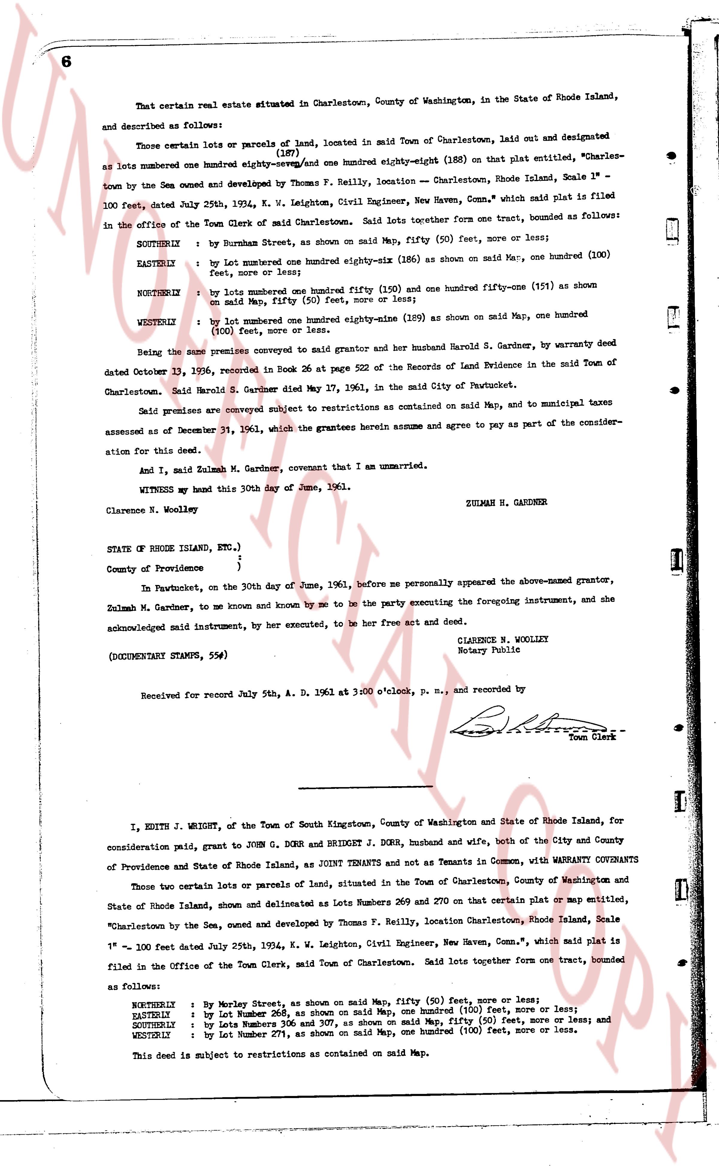
That certain real estate situated in Charlestown, County of Washington, in the State of Rhode Island, and described as follows:
Those certain lots or parcels of land, located in said Town of Charlestown, laid out and designated (187)
(188)
as lots numbered one hundred eighty-seven/and one hundred eighty-eight (188) on that plat entitled, "Charles-
town by the Sea owned and developed by Thomas F. Reilly, location - Charlestown, Rhode Island, Scale 1" =
100 feet, dated July 25th, 1934, K. W. Leighton, Civil Engineer, New Haven, Conn.," which said plat is filed
in the Office of the Town Clerk of said Charlestown. Said lots together form one tract, bounded as follows:
SOUTHRYLY : by Burnham Street, as shown on said Map, fifty (50) feet, more or less;
EASTERLY : by lot numbered one hundred eighty-six (186) as shown on said Map, one hundred (100)
feet, more or less;
NORTHERLY : by lots numbered one hundred fifty (150) and one hundred fifty-one (151) as shown
on said Map, fifty (50) feet, more or less;
WESTERLY : by lot numbered one hundred eighty-nine (189) as shown on said Map, one hundred
(100) feet, more or less.
Being the same premises conveyed to subject grantor and her husband Harold S. Gardner, by warranty deed
dated October 31, 1936, recorded in Book 26 at page 522 of the Records of Land Evidence in the said Town of
Charlestown. Said Harold S. Gardner died May 27, 1961, in the said City of Pawtucket.
Said premises are conveyed subject to restrictions as contained on said Map, and to municipal taxes
assessed as of December 31, 1960, which the grantees herein assume and agree to pay as part of the consider-
ation for this deed.
And I, said Zulmah M. Gardner, covenant that I am unmarried.
WITNESS my hand this 30th day of June, 1961.
ZULMAH M. GARDNER
Clarence N. Woolley
STATE OF RHODE ISLAND, ETC.)
)
)
County of Providence )
In Pawtucket, on the 30th day of June, 1961, before me personally appeared the above-named grantor,
Zulmah M. Gardner, to me known and known by me to be the party executing the foregoing instrument, and she
acknowledged said instrument, by her executed, to be her free act and deed.
CLARENCE N. WOOLLEY
Notary Public
(DOCUMENTARY STAMPS, 5$)
Received for record July 5th, A. D. 1961 at 3 o'clock, p. m., and recorded by
[Signature]
Town Clerk
----
I, EDITH J. WRIGHT, of the Town of South Kingstown, County of Washington and State of Rhode Island, for
consideration paid, grant to JOHN G. DORR and BRIDGET J. DORR, husband and wife, both of the City and County
of Providence and State of Rhode Island, as JOINT TENANTS and not as Tenants in Common, with WARRANTY COVENANTS
Those two certain lots or parcels of land, situated in the Town of Charlestown, County of Washington and State
of Rhode Island, shown and delineated as Lots Numbers 269 and 270 on that certain plat or Map entitled,
"Charlestown by the Sea, owned and developed by Thomas F. Reilly, location Charlestown, Rhode Island, Scale 1" =
1" - 100' feet Date July 25th, 1934, K. W. Leighton, Civil Engineer, New Haven, Conn.," which said plat is
filed in the Office of the Town Clerk, said Town of Charlestown. Said lots together form one tract, bounded
as follows:
NORTHERLY : by Morley Street, as shown on said Map, fifty (50) feet, more or less;
EASTERLY : by Lot Number 268, as shown on said Map, one hundred (100) feet, more or less;
SOUTHERLY : by Lots Numbers 306 and 307, as shown on said Map, fifty (50) feet, more or less; and
WESTERLY : by Lot Number 271, as shown on said Map, one hundred (100) feet, more or less.
This deed is subject to restrictions as contained on said Map.
The page as recorded