The instrument's own words
page 1 · read by Gemma vision
619
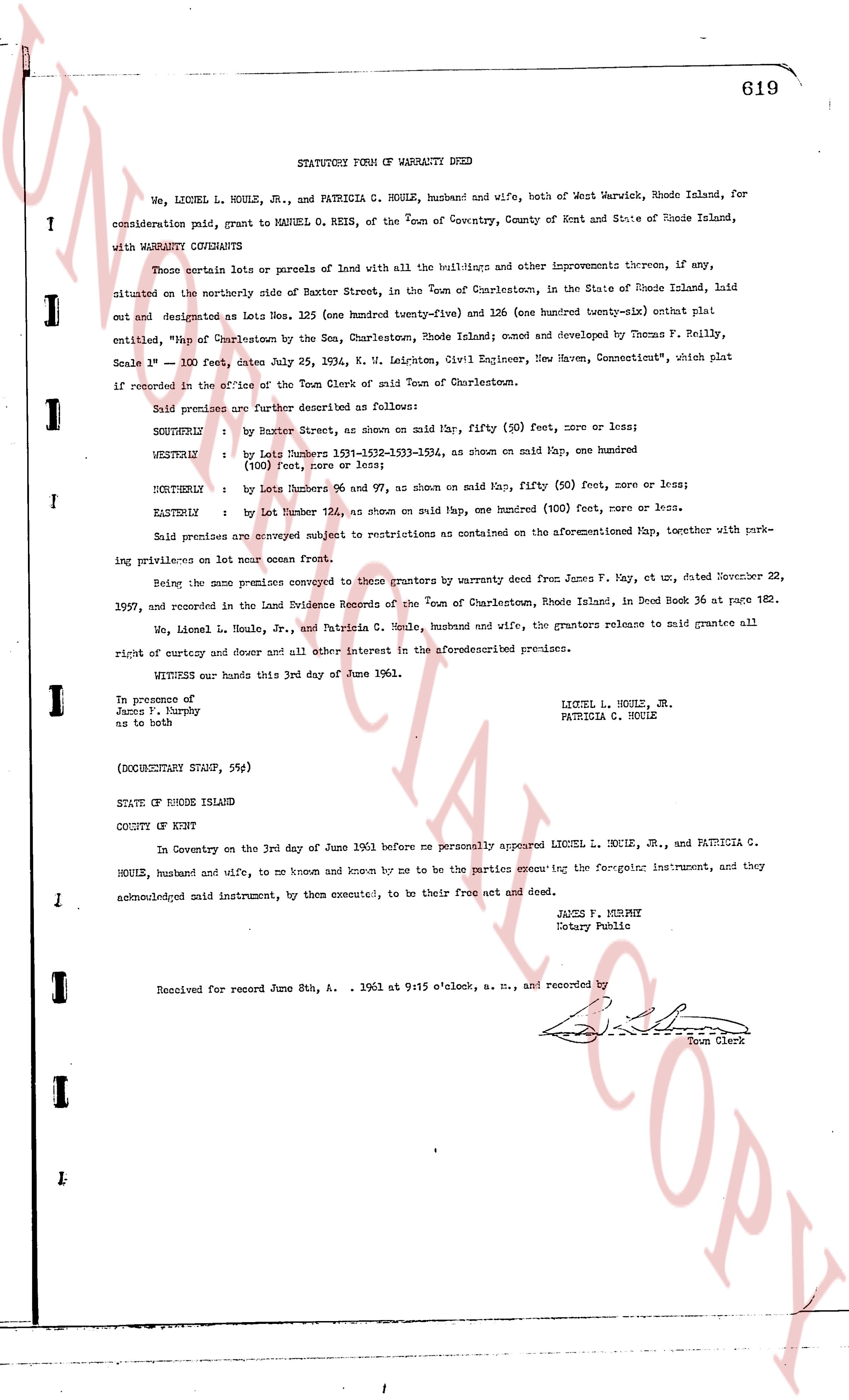
STATUTORY FORM OF WARRANTY DEED
We, LIONEL L. HOULE, JR., and PATRICIA C. HOULE, husband and wife, both of West Warwick, Rhode Island, for consideration paid, grant to MANUEL O. REIS, of the Town of Coventry, County of Kent and State of Rhode Island, with WARRANTY CONVEYANCE
Those certain lots or parcels of land with all the buildings and other improvements thereon, if any, situated on the northerly side of Baxter Street, in the Town of Charlestown, in the State of Rhode Island, laid out and designated as Lots Nos. 125 (one hundred twenty-five) and 126 (one hundred twenty-six) entire plat plat said entitled, "Map of Charlestown by the Sea, Charlestown, Rhode Island; owned and developed by Thomas F. Reilly, Scale 1" = 100', date July 25, 1934, W. M. Leddington, Civil Engineer, New Haven, Connecticut," which plat if recorded in the office of the Town Clerk of said Town of Charlestown.
Said premises are further described as follows:
SOUTHERLY : by Baxter Street, as shown on said Map, fifty (50) feet, more or less;
WESTERLY : by Lots Numbers 1531-1532-1533-1534, as shown on said Map, one hundred (100) feet, more or less;
NORTHERLY : by Lots Numbers 96 and 97, as shown on said Map, fifty (50) feet, more or less;
EASTERLY : by Lot Number 124, as shown on said Map, one hundred (100) feet, more or less.
Said premises are conveyed subject to restrictions as contained on the aforementioned Map, together with parking privileges on Lot number ocean front.
Being the same premises conveyed to those grantors by warranty deed from James F. May, et al, dated November 22, 1957, and recorded in the Land Evidence Records of the Town of Charlestown, Rhode Island, in Deed Book 36 at page 182.
We, Lionel L. Houle, Jr., and Patricia C. Houle, husband and wife, the grantors release to said grantee all right of entry and dower and all other interest in the aforesaid described premises.
WITNESS our hands this 3rd day of June 1961.
In presence of
James J. Murphy
as to both
LIONEL L. HOULE, JR.
PATRICIA C. HOULE
(DOCUMENTARY STAMP, 59¢)
STATE OF RHODE ISLAND
COUNTY OF KENT
In Coventry on the 3rd day of June 1961 before me personally appeared LIONEL L. HOULE, JR., and PATRICIA C. HOULE, husband and wife, to me known and known by me to be the parties occupying the foregoing instrument, and they acknowledged said instrument, by them executed, to be their free act and deed.
JAMES J. MURPHY
Notary Public
Received for record June 8th, A. 1961 at 9:15 o'clock, a. m., and recorded by
[Signature]
Town Clerk
The page as recorded