The instrument's own words
page 1 · read by Gemma vision
585
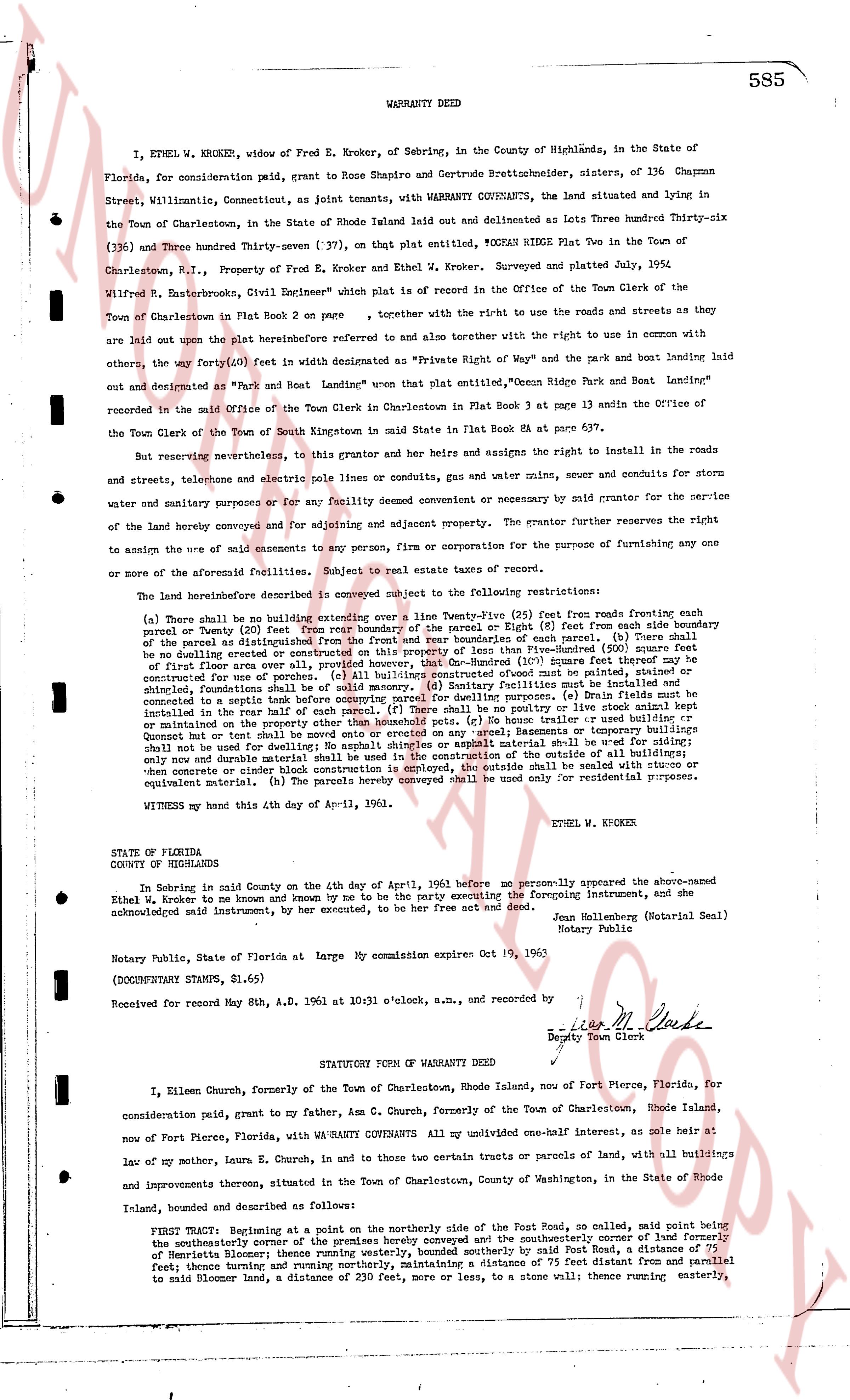
WARRANTY DEED
I, ETHEL W. KNOCKER, widow of Fred E. Kroker, of Sebring, in the County of Highlands, in the State of Florida, for consideration paid, grant to Rose Shapiro and Gertrude Brettschneider, sisters, of 136 Chapman Street, Wilmington, Connecticut, as joint tenants, with WARRANTY COVENANTS, the land situated and lying in the Town of Charlestown, in the State of Rhode Island laid out and delineated as Lots Three hundred Thirty-six (336) and Three hundred Thirty-seven (337), on that plat entitled, "OCEAN RIDGE Plat Two in the Town of Charlestown, R.I.," Property of Fred E. Kroker and Ethel W. Kroker, Surveyed and platted July, 1954, Wilfred R. Tate Brooks, Civil Engineer" which plat is on record in the Office of the Town Clerk of the Town of Charlestown in Plat Book R on page 2, together with the ri-ht to use the roads and streets as they are laid out upon the plat described hereinbefore referred to and also together with the ri-ht to use in common with the others, the way forty(40) feet (in width as demarcated as "Private Right of Way" on the plat and the park and boat landing laid out and designated as "Park and Boat Landing" whereas that plat entitled, "Ocean Ridge Park and Boat Landing" recorded in the said Office of the Town Clerk in Charlestown in Plat Book R 3 page 13 and Annin the Office of the Town Clerk of the Town of South Kingstown in said State in Plat Book R 84 at page 137.
But reserving nevertheless, to this grantor and her heirs and assigns the ri-ht to install in the roads and streets, telephone and electric pole lines or conduits, gas and water mains, sewer and conduits for storm water and sanitary purposes or for any facility deemed convenient and necessary by said grantor for the service of the land hereby conveyed and for adjoining and adjacent property. The grantor further preserves the ri-ht to assign the use of said easements to any person, firm or corporation for the purpose of furnishing any one or more of the aforesaid facilities. Subject to real estate taxes of record.
The land hereinbefore described is conveyed subject to the following restrictions:
(a) There shall be no building extended over a line Twenty-five (25) feet from roads running parallel to the property (or Twenty-five (25) feet from any regrade of the property) or Eight (8) feet from each side boundary of the parcel as distinguished from the boundaries of the town or state of each parcel. (b) Sure shall be no building erected or constructed on the property less than Five-hundred (500) square feet in size (excluding the first floor area over a garage or basement) or 1,000 square feet that may be constructed for use of porches. (c) All buildings constructed outside of pumt must be painted, stained or sided with fiberboard. (d) All sanitary facilities must be installed in accordance with the regulations of the state. (e) Main builds must be situated in the town of Charlestown. (f) No boat, trailer or any other object shall be stored uncovered or maintained on the property other than its specified use. (g) No trailer used or building run-down Queen Maryland or that style of building shall be used for dwellings; No asphalt shingles or asphalt material shall be used for siding; only new and durable material shall be used; in the event of change of the outside of any building, the same must remain or replace with similar construction is employed, the outside shall be sealed with stucco or equivalent material. (h) The parcels hereby conveyed shall be used only for residential purposes.
WITNESS my hand this 4th day of April-11, 1961.
ETHEL W. KNOCKER
STATE OF FLORIDA
COUNTY OF HIGHLANDS
In Sebring in said County on the 4th day of April the 1, 1961 before me personally appeared the above-named Ethel W. Kroker to me and known by me or to me by the name everly executing the foregoing instrument, and she acknowledged said instrument, by her executed, to be her free act and deed.
Joan Hallenberg (Notarial Seal)
Notary Public
Notary Public, State of Florida at Large My Commission expires Oct 19, 1963
(DOCUMENT STAMPS, $1.65)
Received for record May 8th, A.D. 1961 at 10:31 o'clock a.m., and recorded by
(signature) (signature)
Deputy Town Clerk
----
STATUTORY FORM OF WARRANTY DEED
I, Eileen Church, formerly of the Town of Charlestown, Rhode Island, now of Fort Pierce, Florida, for consideration paid, grant to my father, Asa C. Church, formerly of the Town of Charlestown, Rhode Island, now of Fort Pierce, Florida, with WARRANTY COVENANTS All my undivided one-half interest, as sole heir at law of my mother, Laura E. Church, in and to those two certain tracts or parcels of land, with all buildings and improvements thereon, situated in the Town of Charlestown, County of Washington, in the State of Rhode Island, bounded and described as follows:
FIRST TRACT: Beginning at a point on the northerly side of the Fort Road, so called, said point being the southeasterly corner of the premises hereby conveyed and the southeasterly corner of land formerly of Henrietta Bloomer; thence running westerly, bounded southerly by said Fort Road, a distance of 100 feet; thence running westerly, bounded northerly by a distance of 75 feet distance and then parallel feet; thence turning northerly and running nearly parallel a distance of 230 feet, more or less, to a stone wall; thence running easterly,
page 2 · read by Gemma vision
586
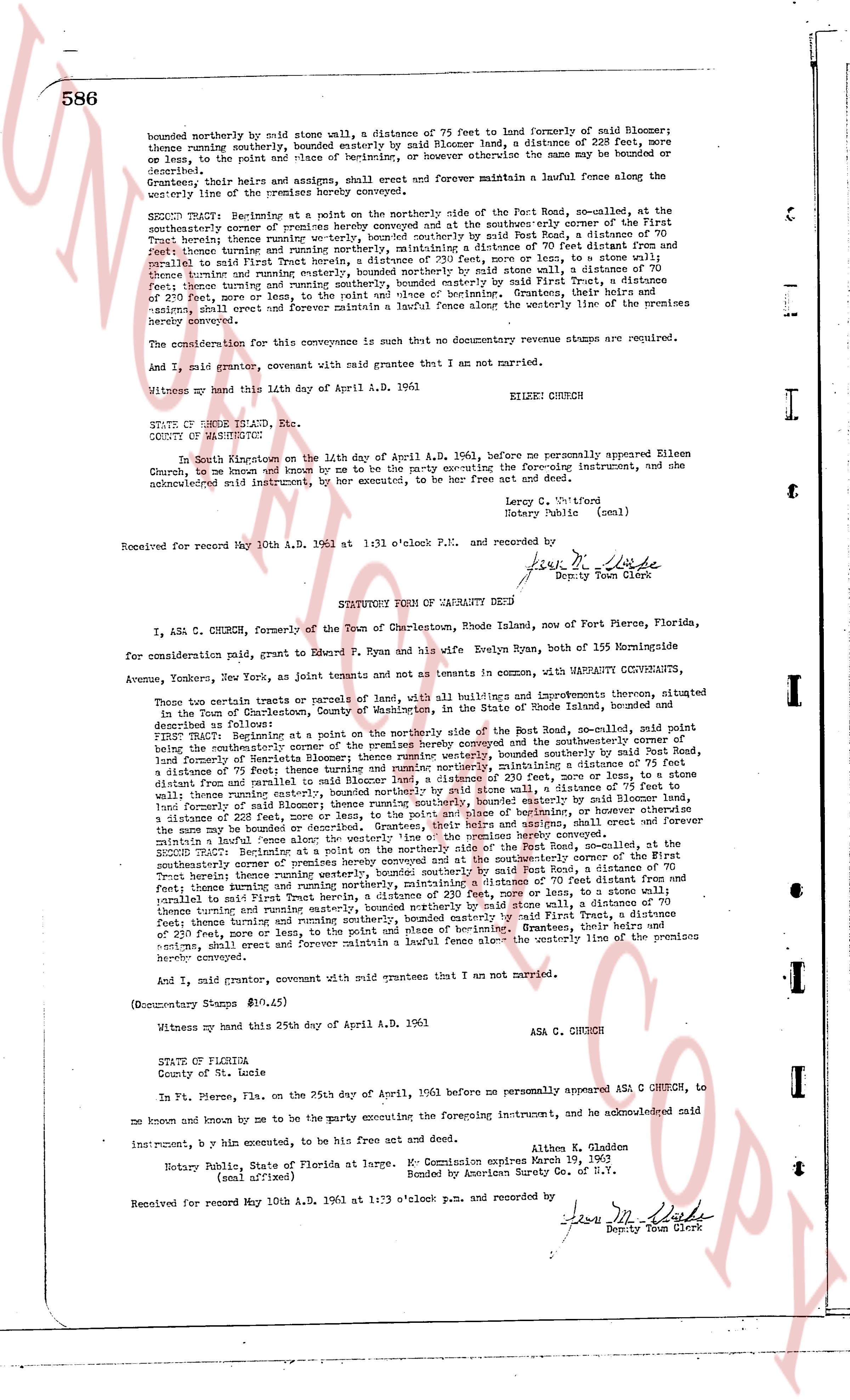
bounded northerly by old stone wall, a distance of 75 feet to land of formerly of said Bloomer;
thence running southerly, bounded easterly by said Bloomer land, a distance of 228 feet, more
or less, to the right of way of state highway, or however otherwise the same may be denoted or
designated.
Grantors, their heirs and assigns, shall erect and forever maintain a lawful fence along the westerly line of the premises hereby conveyed.
SECOND TRACT: Beginning at a point on the northerly side of the East Road, now-called, at the
southerly cornerstone of premises hereby conveyed and at the southeasterly corner of the First
Trust road thence running easterly, bounded northerly by said East Road, a distance of 70
feet thence turning northerly and running northerly, maintaining a distance of 70 feet distance and
distance of 230 feet, more or less, to a stone wall; thence turning easterly, a distance of 70
sprall to said First Trust herev, a distance of 230 feet, more or less, to a stone wall;
thence turning and running easterly, bounded northerly by said East Road, a distance of 70
feet, thence turning and running southerly, bounded easterly by said First Trust, a distance of
230 feet, more or less, to the point and place of beginning. Grantees, their heirs and
assigns, shall erect and forever maintain a lawful fence along the westerly line of the premises
hereby conveyed.
The consideration for this conveyance is summetry that no documentary revenue stamps are required.
And I, said grantor, covenant with said grantee that I am not married.
Witness my hand this 14th day of April A.D. 1961. EILEEN CHURCH
STATE OF RHODE ISLAND, Etc.
COUNTY OF WASHINGTON
In South Kingstown on the 14th day of April A.D. 1961, before me personally appeared Eileen
Church, to me known and known by me to be the party executing the foregoing instrument, and she
acknowledged said instrument, by her hand executed, to be her free act and deed.
Larry C. Whitford
Notary Public (seal)
Received for record May 10th A.D. 1961 at 1:31 o'clock P.M. and recorded by
Jean M. Clark
Deputy Town Clerk
----
STATUTORY FORM OF WARRANTY DEED
I, ASA C. CHURCH, formerly of the Town of Charlestown, Rhode Island, now of Fort Pierce, Florida,
for consideration paid, grant to Edward P. Ryan and his wife Evelyn Ryan, both of 155 Normandie
Avenue, Yonkers, New York, as joint tenants and not as tenants in common, WITH WARRANTY COVENANTS,
those certain parcels or tracts of land, with all buildings and improvements thereon, situated
in the Town of Charlestown, County of Washington, State of Rhode Island, described as follows:
FIRST TRACT: Beginning at a point on the northerly side of the East Road, now-called, said point
being the southerly cornerstone of the premises hereby conveyed and at the southeasterly corner of the
First Trust road thence running easterly, bounded northerly by said East Road, a distance of 70
feet, land formerly of Sardinia; thence turning northerly and running northerly, maintaining a distance of 70
feet distance and from parallel to said Rhode Island highway, a distance of 230 feet, more or less, to
a stone wall; thence turning easterly, bounded northerly by said stone wall, a distance of 75 feet to
land formerly of said Bloomer; thence running southerly, bounded easterly by said Bloomer land, a
distance of 228 feet, more or less, to the right of way of state highway, or however otherwise the
same may be denoted or designated. Grantees, their heirs and assigns, shall erect and forever
maintain a lawful fence along the westerly line of the premises hereby conveyed.
SECOND TRACT: Beginning at a point on the northerly side of the East Road, now-called, at the
southerly cornerstone of premises hereby conveyed and at the southeasterly corner of the First
Trust road thence running easterly, bounded northerly by said East Road, a distance of 70
feet Trust herev thence running westerly, bounded southerly by said East Road, a distance of 70
feet thence turning and running northerly, maintaining a distance of 70 feet distance and from
parallel to said First Trust herev, a distance of 230 feet, more or less, to a stone wall; thence
turning easterly and running easterly, bounded northerly by said stone wall, a distance of 70
feet, thence turning and running southerly, bounded easterly by said First Trust, a distance of
230 feet, more or less, to the point and place of beginning. Grantees, their heirs and
assigns, shall erect and forever maintain a lawful fence along the westerly line of the premises
hereby conveyed.
And I, said grantor, covenant with said grantees that I am not married.
(Documentary Stamps $10.45)
Witness my hand this 25th day of April A.D. 1961. ASA C. CHURCH
STATE OF FLORIDA
County of St. Lucie
In Ft. Pierce, Fla. on the 25th day of April, 1961 before me personally appeared ASA C. CHURCH, to
me known and known by me to be the party executing the foregoing instrument, and he acknowledged
said instrument, by his hand executed, to be his free act and deed.
Althena E. Gladden
Notary Public, State of Florida at Large. My Commission expires March 19, 1963
(seal affixed) Bonded by American Surety Co. of N.Y.
Received for record May 10th A.D. 1961 at 1:33 o'clock P.M. and recorded by
Jean M. Clark
Deputy Town Clerk
The page as recorded