The instrument's own words
page 1 · read by Gemma vision
582
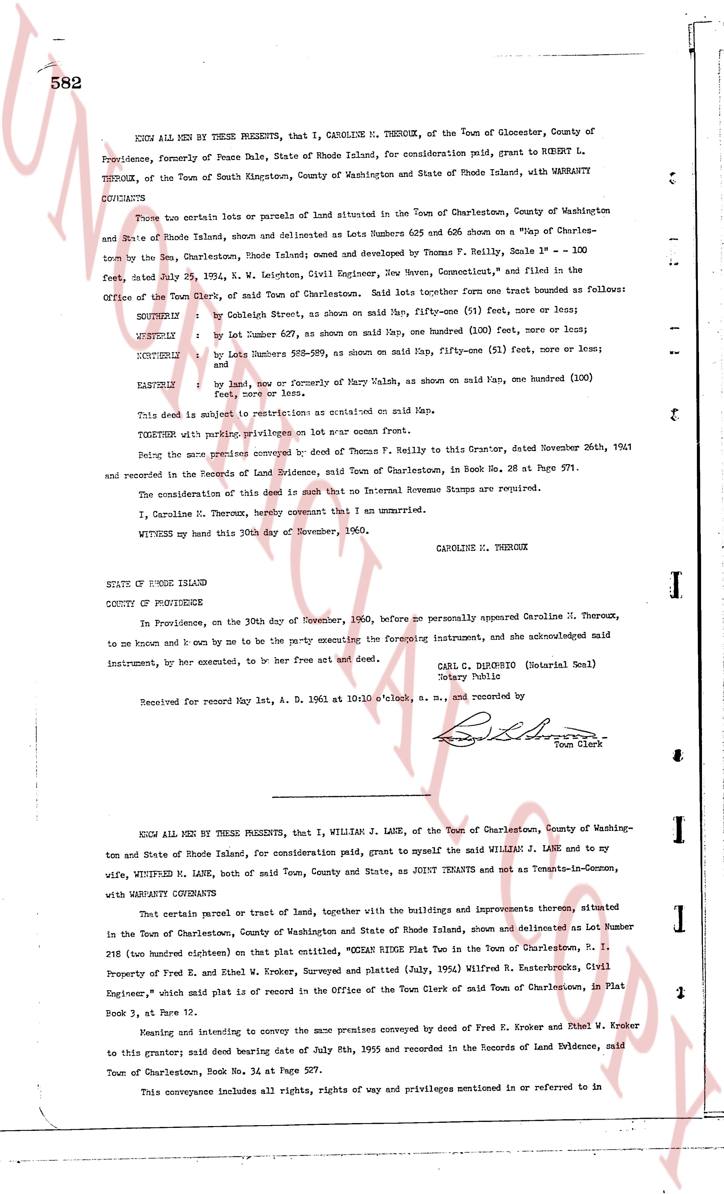
KNOW ALL MEN BY THESE PRESENTS, that I, CAROLINE M. THEROUX, of the Town of Glocester, County of Providence, formerly of Peace Dale, State of Rhode Island, for consideration paid, grant to ROBERT L. THEROUX, of the Town of South Kingstown, County of Washington and State of Rhode Island, with WARRANTY COVENANTS
Two certain lots or parcels of land situated in the Town of Charlestown, County of Washington and State of Rhode Island, shown and delineated as Lots Numbers 625 and 606 shown on a "Map of Charlestown" by the town See, Charlestown, Rhode Island; owned and named by Thomas F. Reilly, Scale 1" = 100 feet, dated July 25, 1914, K. W. Leighton, Civil Engineer, New Haven, Connecticut, and filed in the Office of the Town Clerk, said Town of Charlestown. Said lots together form one tract bounded as follows:
SOUTHERLY by Cobleleigh Street, as shown on said Map, fifty-one (51) feet, more or less;
WESTERLY by Lot Number 607, as shown on said Map, one hundred (100) feet, more or less;
NORTHERLY by Lots Numbers 528-529, as shown on said Map, fifty-one (51) feet, more or less; and
EASTERLY by land, now or formerly of Mary Walsh, as shown on said Map, one hundred (100) feet, more or less.
This deed is subject to restrictions as contained on said Map.
TOGETHER with pruning privileges on lot near ocean front.
Being the same premises conveyed by deed of Thomas F. Reilly to this Grantor, dated November 26th, 1941 and recorded in the Records of Land Evidence, said Town of Charlestown, in Book No. 28 at Page 571.
The consideration of this deed is such that no Internal Revenue Stamps are required.
I, Caroline M. Theroux, hereby covenant that I am unmarried.
WITNESS my hand this 30th day of November, 1960.
CAROLINE M. THEROUX
STATE OF RHODE ISLAND
COUNTY OF PROVIDENCE
In Providence, on the 30th day of November, 1960, before me personally appeared Caroline M. Theroux, to me known and known by me to be the party executing the foregoing instrument, and she acknowledged said instrument, by her executed, to be her free act and deed.
CARL C. DURBINSO (Notarial Seal)
Notary Public
Received for record May 1st, A. D. 1961 at 10:10 o'clock, a. m., and recorded by
[Signature]
Town Clerk
----
KNOW ALL MEN BY THESE PRESENTS, that I, WILLIAM J. LANE, of the Town of Charlestown, County of Washington and State of Rhode Island, for consideration paid, grant to myself the said WILLIAM J. LANE and to my wife, WINIFRED M. LANE, both of said Town, County and State, as JOINT TENANTS and not as Tenants-in-Common, with WARRANTY COVENANTS
That certain parcel or tract of land, together with the buildings and improvements thereon, situated in the Town of Charlestown, County of Washington and State of Rhode Island, shown and delineated as Lot Number 218 (two hundred eighteen) on that plat entitled, "ODESSA RIDGE Flat Plat in the Town of Charlestown, R. I. Property of Fred E. and Ethel W. Kroker, Surveyed and platted (July, 1955) Wilfred R. Easterbrooks, Civil Engineer," which said plat is of record in the Office of the Town Clerk said Town of Charlestown, in Plat Book 3, at Page 12.
Meaning and intending to convey the same premises conveyed by deed of Fred E. Kroker and Ethel W. Kroker to this grantor; said deed being date July 5th, 1955 and recorded in the Records of Land Evidence, said Town of Charlestown, Book No. 34 at Page 527.
This conveyance includes all rights, rights of way and privileges mentioned in or referred to in the
page 2 · read by Gemma vision
said deed and this conveyance is SUBJECT to the conditions, easements, reservations and restrictions contained therein. Reference to said deed and the records thereof being hereby made and the same made a part hereof for a more complete and detailed description of the premises hereby conveyed.
WITNESSY ss hand this 4th day of May, 1961.
WILLIAM J. LANE
No Internal Revenue Stamps required.
STATE OF RHODE ISLAND
COUNTY OF WASHINGTON
In Charlestown, on the 4th day of May, 1961, before me personally appeared William J. Lane, to me known and known by me to be the party executing the foregoing instrument, and he acknowledged said instrument, by him executed, to be his free act and deed.
LINTH L. BROWN
Town Clerk
Received for record May 4th, d. 1961 at 11:00 o'clock, a. m., and recorded by
[Signature]
Town Clerk
----
WARRANTY DEED
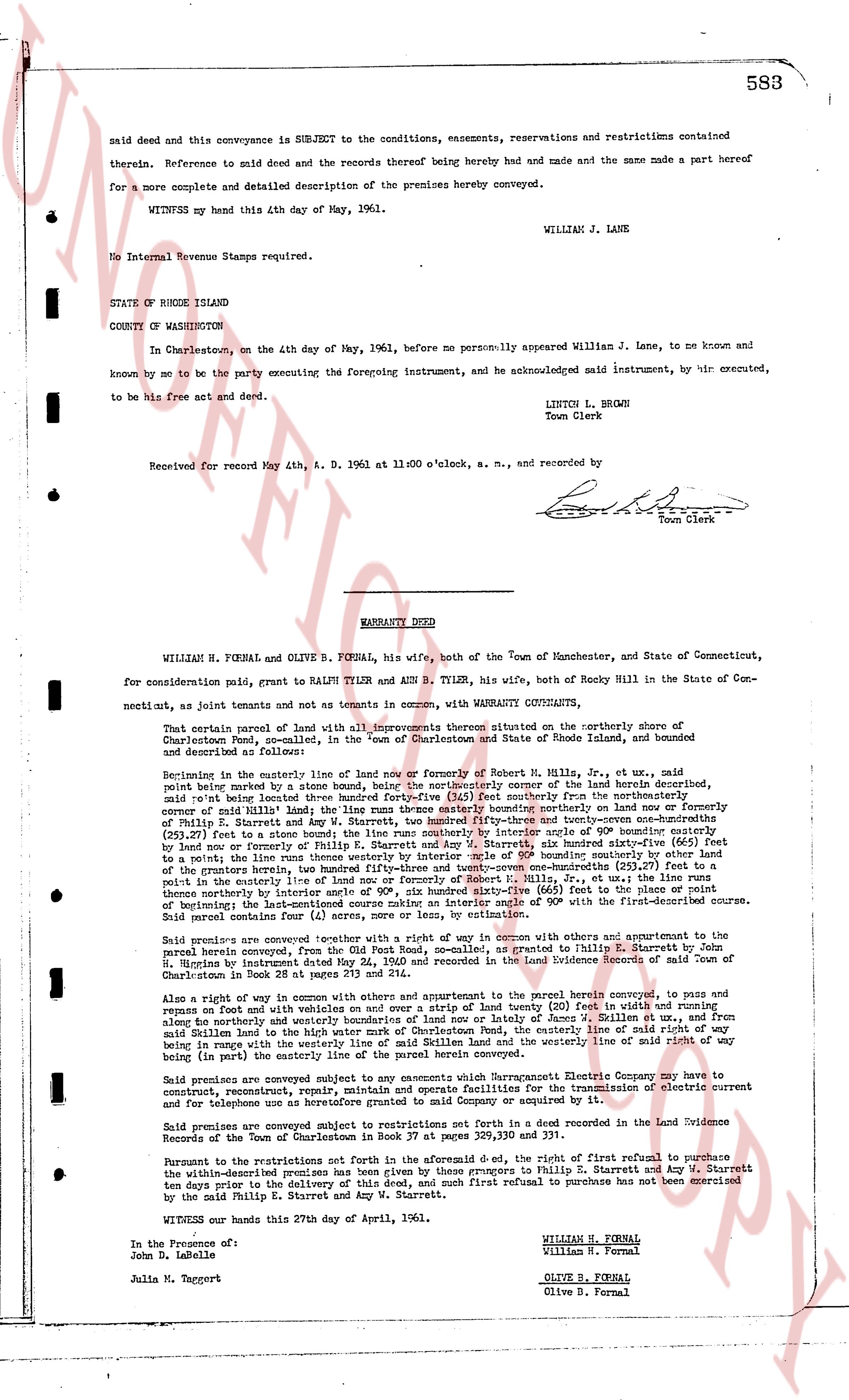
WILLIAM H. FORNAL and OLIVE B. FORNAL, his wife, both of the Town of Manchester, and State of Connecticut, for consideration paid, grant to RALPH TYLER and ANN B. TYLER, his wife, both of Rocky Hill in the State of Connecticut, as joint tenants and not as tenants in common, with WARRANTY COVENANTS,
That certain parcel of land with all improvements thereon situated on the northerly shore of the Charlestown Pond, so-called, in the "Town of Charlestown" and State of Rhode Island, and bounded and described as follows:
Beginning in the easterly line of land now or formerly of Robert H. Mills, Jr., et ux, said line point being marked by a stone bound, by the northeasterly corner of the land of Howard deceased, said line running thence south 15 degrees 30 minutes east 111 feet northerly from the northerly corner of said Mills's land; the line runs thence easterly along bounding northerly on land now or formerly of Ralph R. Starrett et ux and continuing easterly 150 feet and forty-seven inches (150.39) (250.27) feet to a stone bound; the line runs southerly interior angle of 90 degree bounding easterly by land now or formerly of Robert H. Mills, Jr., et ux, 111 feet, also bearing easterly 150 feet and forty-seven inches (150.39) (250.27) feet to a point the line runs thence westerly by interior angle of 90 degree bounding southerly by other land of the grantors hereunto located between said point and the point of beginning (150.39) (250.27) feet to the point in the easterly line of land now or formerly of Robert H. Mills, Jr., et ux, the line runs thence northerly by interior angle of 90 degree bounding easterly (166) feet to the point of beginning by interior angle 135 degrees and continuing northerly by interior angle of 90 degree, said boundary line running 111 feet northerly by interior angle of 90 degree, said boundary line running (4) acres, more or less, by estimation.
Said parcel contains four (4) acres, more or less, by estimation.
Said premises are conveyed together with a right of way in common with others and appurtenant to the parcel hereby conveyed, from the public road known as "Charlestown Road" granted to Philip E. Starrett by W. H. Higgins by instrument dated May 24, 1940 and recorded in the Land Evidence Records of said Town of Charlestown in Book 73 at page 111.
Also a right of way in common with others and appurtenant to the parcel herein conveyed, to pass and impass on foot with vehicles and other over and over a strip of land thirty (30) feet in width and running along the northerly and easterly lines of land now or formerly of George W. S. Fornal, et ux, from said Millen land to the high water mark of Charlestown Pond, the easterly line of said right of way being in part along with the northerly line of land now or formerly of the grantor: the westerly line of said right of way being (in part) the easterly line of the parcel herein conveyed.
Said premises are conveyed subject to any easements which Narragansett Electric Company may have to construct, reconstruct, operate, maintain and replace poles and wires for the transmission of electric current and for telephone uses as heretofore granted to said Company or acquired by it.
Said premises are conveyed subject to restrictions not set forth in a deed recorded in the Land Evidence Records of the Town of Charlestown in Book 37 at pages 329, 330 and 331.
The restrictions not set forth in the premises are affected to the extent, i.e., the right of first refusal to purchase the within-described premises is reserved to the grantors, namely Philip R. Starrett and Amy N. Starrett ten days prior to the delivery of this deed and any such first refusal to purchase has not been exercised by the said Philip E. Starrett and Amy N. Starrett.
WITNESS our hands this 27th day of April, 1961.
WILLIAM H. FORNAL
William H. Fornal
OLIVE B. FORNAL
Olive B. Fornal
In the Presence of:
John D. LaBelle
Julia M. Taggett
The page as recorded