The instrument's own words
page 1 · read by Gemma vision
566
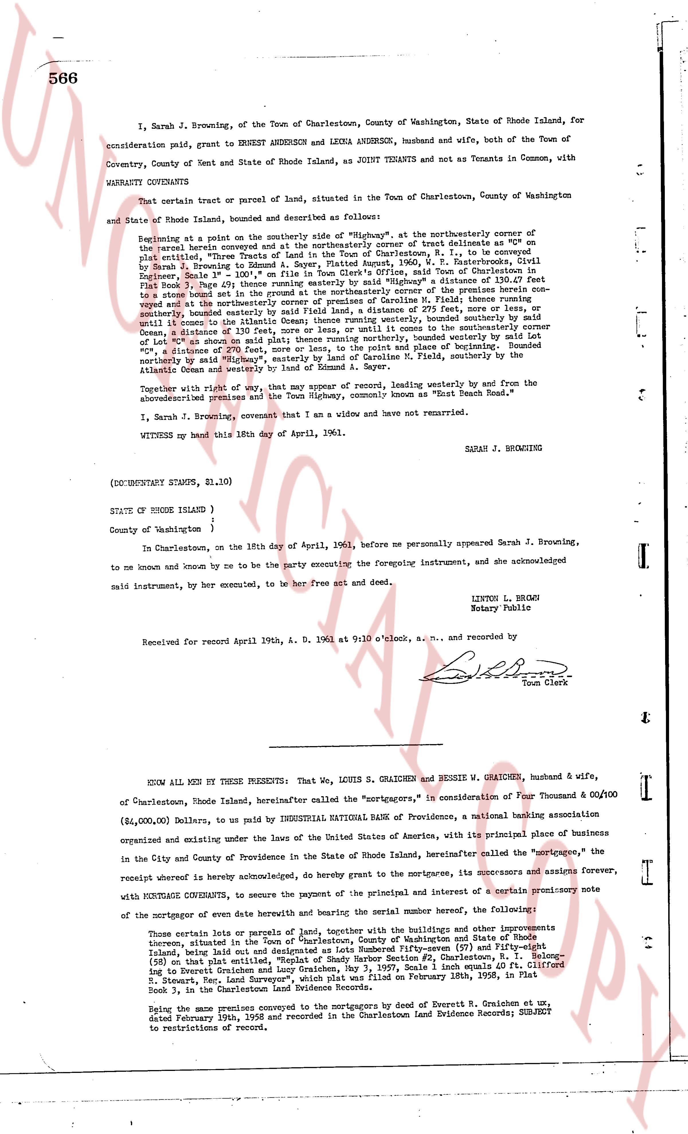
I, Sarah J. Browning, of the Town of Charlestown, County of Washington, State of Rhode Island, for consideration paid, grant to ERNEST ANDERSON and LEONA ANDERSON, husband and wife, both of the Town of Coventry, County of Kent and State of Rhode Island, as JOINT TENANTS and not as Tenants in Common, with WARRANTY COVENANTS
That certain tract of parcel of land, situated in the Town of Charlestown, County of Washington and State of Rhode Island, bounded and described as follows:
Beginning at a point on the southerly side of "Nighway", at the northeasterly corner of the parcel herein conveyed and at the northeasterly corner of tract delineate as "C" on plat entitled, "Three Tracts of Land, Sarah J. Browning, Grantor", B. I. be surveyed by Sarah J. Browning to a point 111.10' S 41° E, A. Sayer, Platted August, 1960, V. R. Easterbrooks, Civil Engineer, Scale 1" = 100', on plat in Town Clerk's Plat Book 1, page 1, and by said "Nighway" a distance of 130.67 feet from Book 3, page 566 of the Charlestown Land Evidence Records, by said "Nighway" a distance of 130.67 feet to a stone bound set in the ground by the northeasterly corner of the premises herein conveyed and set at the northeasterly corner of the parcel of land of [?] F. Field, thence running southerly, bounded easterly by said Land of F. Field, a distance of 275 feet, more or less, or until it intersects the line of the parcel of land of [?] [?], thence northerly, bounded easterly by said Land of [?] [?], a distance of 130 feet, more or less, and until it intersects the southerly corner let of "C", a distance of 270 feet, more or less, and to the point and place of beginning. Bounded northerly by "Nighway" and the land of [?] [?], bounded easterly by the Land of [?] F. Field, southerly by the Atlantic Ocean and westerly by Land of Edmond A. Sayer.
Together with right of way, that may appear of record, leading westerly by and from the above described premises and the Town Highway, commonly known as "North Beach Road."
I, Sarah J. Browning, covenant that I an a widow and have not remarried.
WITNESS my hand this 18th day of April, 1961.
SARAH J. BROWNING
(DOCUMENTARY STAMPS, $1.10)
STATE OF RHODE ISLAND }
}
County of Washington }
In Charlestown, on the 18th day of April, 1961, before me personally appeared Sarah J. Browning, to me known and known by me to be the party executing the foregoing instrument, and she acknowledged said instrument, by her executed, to be her free act and deed.
LINTON L. BROWN
Notary Public
Received for record April 19th, A. D. 1961 at 9:10 o'clock, a. m., and recorded by
[Signature]
Town Clerk
----
KNOW ALL MEN BY THESE PRESENTS: That We, LOUIS S. GRAICHEN and BESSIE W. GRAICHEN, husband & wife, of Charlestown, Rhode Island, hereinafter called the "mortgagors," in consideration of Four Thousand & 00/100 ($4,000.00) Dollars, to us paid by INDUSTRIAL NATIONAL BANK of Providence, a national banking association organized and existing under the Laws of the United States of America, with its principal place of business in the City and County of Providence in the State of Rhode Island, hereinafter called the "mortgagee," the receipt whereof hereby is expressly acknowledged, do hereby grant to the mortgagee, its successors and assigns forever, with MORTGAGE COVENANTS, to secure the payment of the principal and interest of a certain promissory note of the mortgagor or evem of date hereof and bearing the sereal number hereof, the following:
Those certain lots or parcels of land, together with the buildings and other improvements thereon, situated in the Town of "Charlestown, County of Washington and State of Rhode Island, being lot and parcels of land designated as Lot-fifty-seven (57) and Fifty-eight (58) on that plat entitled, "Replat of Shady Harbor Section #2, Charlestown, R.I." Scale 1 inch equals 60 ft. Clifford B. Stewart, Rec. Land Surveyor", which plat was filed on February 18th, 1958, in Plat Book 3, in the Charlestown Land Evidence Records.
Being the same premises as the mortgagors by deed of Ernest R. Graichen et ux, dated February 19th, 1958 and recorded in the Charlestown Land Evidence Records; SUBJECT to restrictions of deed.
The page as recorded