The instrument's own words
page 1 · read by Gemma vision
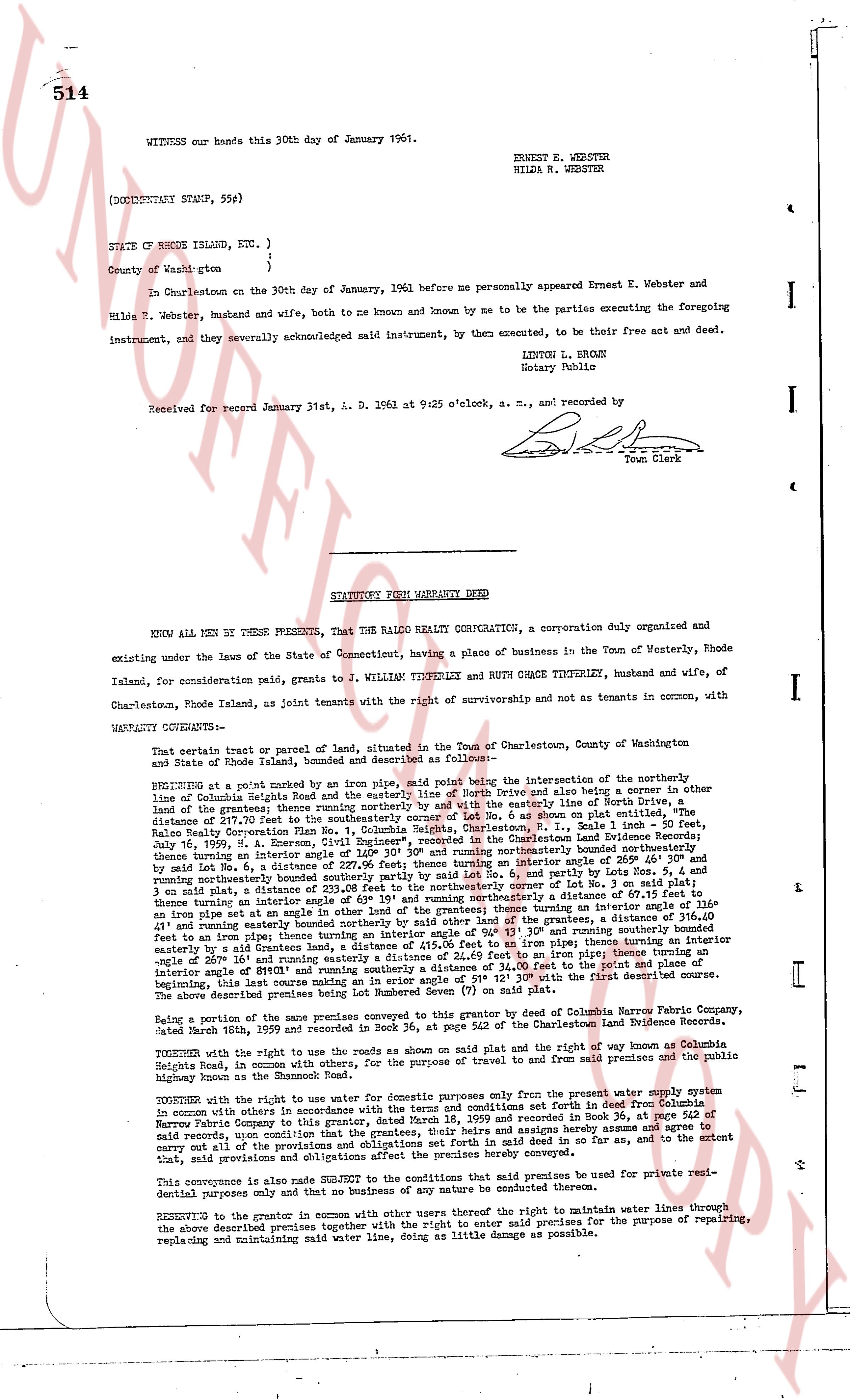
514
WITNESS our hands this 30th day of January 1961.
ERNEST E. WEBSTER
HILDA M. WEBSTER
(DOCUMENTARY STAMP, 55¢)
STATE OF RHODE ISLAND, ETC. )
)
County of Wash-gton )
In Charlestown on the 30th day of January, 1961 before me personally appeared Ernest E. Webster and Hilda M. Webster, husband and wife, both to me known and by me to be the parties executing the foregoing instrument, and they severally acknowledged said instrument, by them executed, to be their free act and deed.
LINTON L. BROWN
Notary Public
Received for record January 31st, A. D. 1961 at 9:25 o'clock, a. m., and recorded by
[Signature]
Town Clerk
----
STATUTORY FORM WARRANTY DEED
KNOW ALL MEN BY THESE PRESENTS, That the RALCO REALTY CORP, a corporation duly organized and existing under the laws of the State of Connecticut, having a place of business in the Town of Westerly, Rhode Island, for consideration paid to J. WILLIAM TIMPERLEY and RUTH CHACE TIMPERLEY, husband and wife, of Charlestown, Rhode Island, as joint tenants with the right of survivorship and not as tenants in common, with
WARRANTY COVENANTS--
That certain tract or parcel of land, situated in the Town of Charlestown, County of Washington and State of Rhode Island, bounded and described as follows--
BEGINNING at a point marked by an iron pipe, 1/2" solid being the intersection in the northerly line of Columbia Heights Road and the northerly line of North Drive and also being a corner in the other line of the grantees; thence running northerly by said North Drive and also being the line of North Drive, a distance of 57.00 feet to the point of beginning, Lot No. 6 as shown on plat entitled, The Ralco Realty Corporation Plan Vol. I, Columbia Heights, Charlestown, R.I., Book 34, page 514 of the Charlestown Land Evidence Records; then running easterly by the northerly line of the grantees, a distance of 136.40 feet to a point; thence turning an interior angle of 140° 30' and running southeasterly by a distance of 166.40 feet and by said Lot No. 6, a distance of 166.40 feet to an iron pipe at the easterly line of the grantees, a distance of 336.40 feet and running northeasterly bounded southerly partly by said Lot No. 6, partly by lots Nos. 5, 4 and 3 and said Lot No. 6, a distance of 136.40 feet to an iron pipe; thence turning an interior angle of 140° 30' and running northeasterly a distance of 67.15 feet to an iron pipe at the northerly line of the grantees, a distance of 336.40 feet and running easterly bounded southerly partly by said Lot No. 6, partly by lots Nos. 5, 4 and 3 and said Lot No. 6, a distance of 136.40 feet to an iron pipe; thence turning an interior angle of 139° 05' and running northeasterly a distance of 67.15 feet to an iron pipe at the northerly line of the grantees, a distance of 336.40 feet and running easterly bounded southerly partly by said Lot No. 6, partly by lots Nos. 5, 4 and 3 and said Lot No. 6, a distance of 136.40 feet to an iron pipe; thence turning an interior angle of 140° 30' and running southeasterly a distance of 166.40 feet to an iron pipe; thence turning an interior angle of 140° 30' and running southwesterly a distance of 136.40 feet to the point of beginning; thence turning an interior angle of 180° and running southerly a distance of 336.40 feet to an iron pipe; thence turning an interior angle of 180° and running southwesterly, a distance of 415.00 feet to an iron pipe; thence turning an interior angle of 26° 18' and running southwesterly, a distance of 415.00 feet to an iron pipe; thence turning an interior angle of 180° and running northerly a distance of 336.40 feet to the point of beginning; the above being this last course an angle on an interior angle of 180° from the first described course beginning, this last course making an angle on an interior angle of 180° from the first described course.
The above shown tract of land is designated as Section Seven (7) on said plat.
Being a part of the same premises with which the grantor does convey by Deed from Columbia Paper Fabric Company dated March 18th, 1959 and recorded in Book 34, page 524 of the Charlestown Land Evidence Records.
TOGETHER with the right to use the roads as shown on a plan on said plat and the right of way from Columbia Heights Road to a certain point on the northerly line of the grantees, a distance of 440 feet from the premises and the public highway known as the Shannock Road.
TOGETHER with the right to use the water for domestic purposes only from the present water supply system connected with other lots similarly connected with the terms and conditions set forth in said Deed from Columbia Paper Fabric Company dated March 18th, 1959 and recorded in Book 34, page 524 of the Charlestown Land Evidence Records, and the grantor hereby agrees to maintain and paying hereby agrees to maintain and carry out all of the provisions and obligations set forth in said deed in so far as they, and to the extent that, said provisions and obligations affect the premises hereby conveyed.
This conveyance is also made subject to the conditions that said premises be used for private residential purposes only and that no business of any nature be conducted thereon.
RESERVING to the grantor in common with other users thereof the right to maintain water lines through the above described premises together with the right to enter said premises for the purpose of repairing, replacing and maintaining said water line, doing as little damage as possible.
page 2 · read by Gemma vision
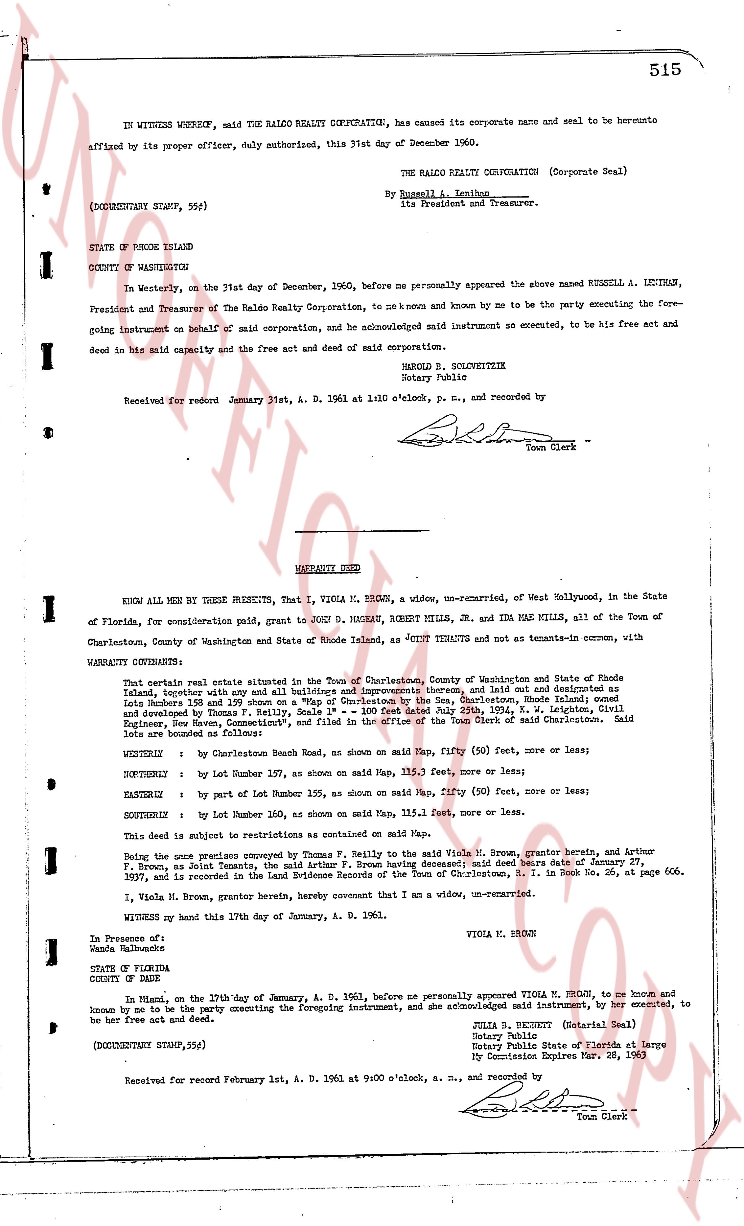
515
IN WITNESS WHEREOF, said THE RALCO REALTY CORPORATION, has caused its corporate name and seal to be hereunto affixed by its proper officer, duly authorized, this 31st day of December 1960.
THE RALCO REALTY CORPORATION (Corporate Seal)
By Russell A. Lectiman
its President and Treasurer.
(DOCUMENTARY STAMP, 55¢)
STATE OF RHODE ISLAND
COUNTY OF WASHINGTON
In Westerly, on the 31st day of December, 1960, before me personally appeared the above named RUSSELL A. LECTIMAN, President and Treasurer of The Ralco Realty Corporation, to me known and known by me to be the party executing the foregoing instrument on behalf of said corporation, and he acknowledged said instrument to be executed, to be his free act and deed in his said capacity and the free act and deed of said corporation.
HAROLD B. SCHULTZETZIK
Notary Public
Received for record January 31st, A. D. 1961 at 1:10 o'clock, p. m., and recorded by
[Signature]
Town Clerk
----
WARRANTY DEED
KNOW ALL MEN BY THESE PRESENTS, That I, VIOLA M. BROWN, a widow, un-remarried, of West Hollywood, in the State of Florida, for consideration paid, grant to JOHN D. MAGNAR, ROBERT MILLS, JR. and IDA MAE MILLS, all of the Town of Charlestown, County of Washington and State of Rhode Island, as JOINT TENANTS and not as tenants-in-common, with WARRANTY CONVEYANCE:
That certain real estate situated in the Town of Charlestown, County of Washington and State of Rhode Island, together with any and all buildings and improvements thereon, laid out and designated as lots in "Rhode Island 125 and 126" as shown on a plat recorded in the Land Evidence Records of Charlestown, Rhode Island, developed by Thomas F. Reilly, Sale 1° - 100 feet duly dated 25th July, 1924, V. M. Leighton, Civil Engineer, New Haven, Connecticut," and filed in the office of the Town Clerk of said Charlestown. Said lots are bounded and described as follows:
WESTERLY : by Charlestown Beach Road, as shown on said Map, fifty (50) feet, more or less;
NORTHERLY : by Lot Number 157, as shown on said Map, 115.3 feet, more or less;
EASTERLY : by Lot Number 155, as shown on said Map, fifty (50) feet, more or less;
SOUTHERLY : by Lot Number 160, as shown on said Map, 115.1 feet, more or less.
This deed is subject to restrictions as contained on said Map.
Being the same premises conveyed by Thomas F. Reilly to the said Viola M. Brown, grantor herein, and Arthur F. Brown, as Joint Tenants, the said Arthur F. Brown having deceased; said heirs died cause of death January 27, 1957, and is recorded in the Land Evidence Records of the Town of Charlestown, R. I. in Book 36, at page 606.
I, Viola M. Brown, grantor herein, hereby covenant that I am a widow, un-remarried.
Witness my hand this 17th day of January, A. D. 1961.
VIOLA M. BROWN
In Presence of:
Wanda L. [?]
STATE OF FLORIDA
COUNTY OF DADE
In Miami on the 17th day of January, A. D. 1961, before me personally appeared VIOLA M. BROWN, to me known and known by me to be the party executing the foregoing instrument, and she acknowledged said instrument, by her executed, to be her free not act and deed.
JULIA B. BENNETT (Notarial Seal)
Notary Public
Notary Public State of Florida at Large
My Commission Expires Mar. 28, 1963
(DOCUMENTARY STAMP, 55¢)
Received for record February 1st, A. D. 1961 at 9:00 o'clock, a. m., and recorded by
[Signature]
Town Clerk
The page as recorded