The instrument's own words
page 1 · read by Gemma vision
513
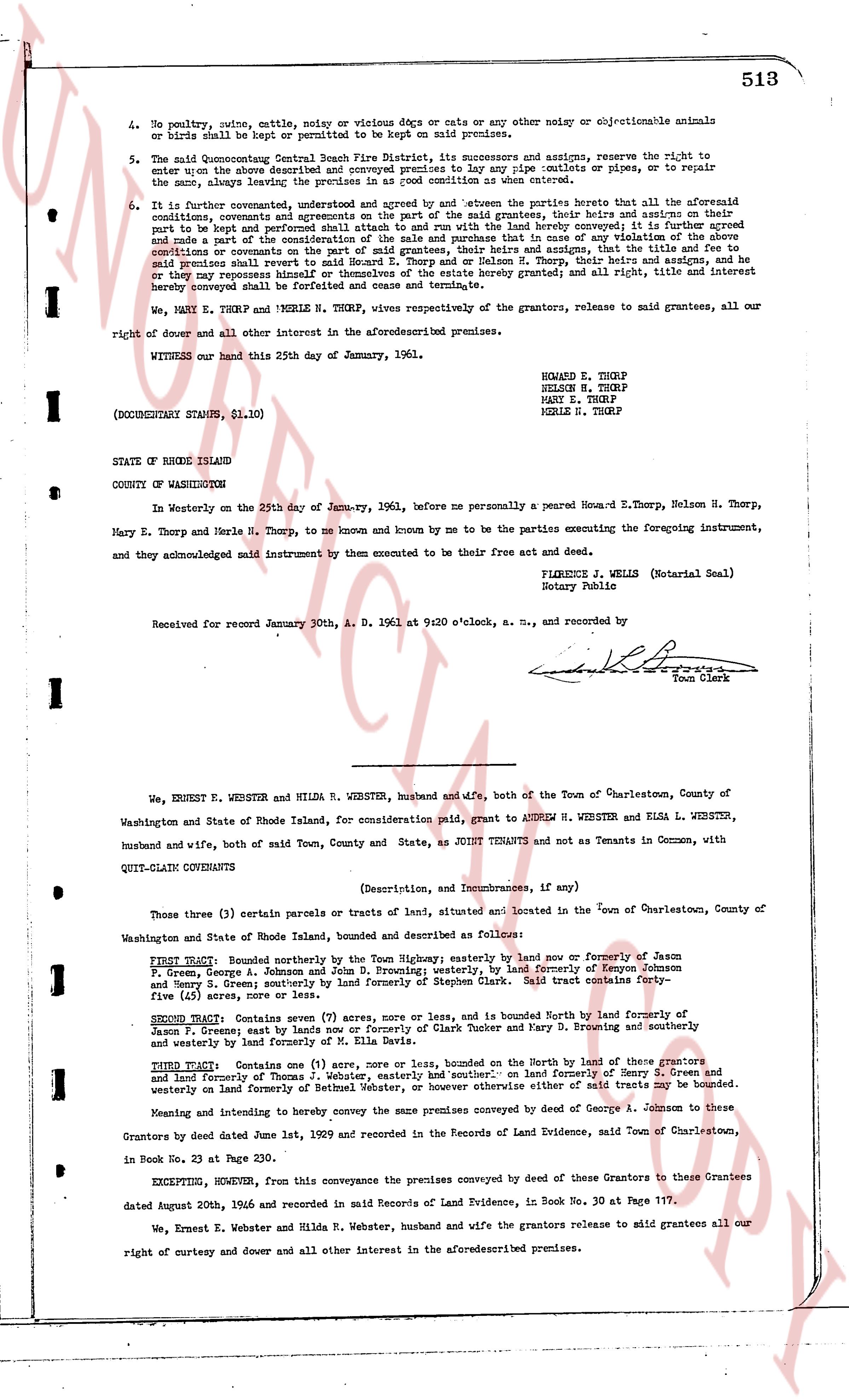
4. No poultry, noise, cattle, steer, swine or vicious dogs or cats or any other noisy or objectionable animals or birds shall be kept or permitted to be kept on said premises.
5. The said Quonset Point Central Beach Fire District, its successors and assigns, reserve the right to enter upon the above described and conveyed premises to lay in pipe culverts or outlets, to pipe or repair the same, always leaving the premises in as good condition as same were before.
6. It is further covenanted, understood and agreed by and between the parties hereto that all of the aforesaid conditions, covenants and agreements shall run with the land of the said grantees, their heirs and assigns on their conditions, covenants and agreements to be and hereafter shall be and form a part of the said grantees, their heirs and assigns and part of the land hereby conveyed and shall be perpetual and binding upon the grantees, their heirs and assigns, and in case of any violation of the above stated conditions or covenants on the part of said grantees, their heirs and assigns, that the title and fee to said premises shall revert to the said Quonset Point Central Beach Fire District, their heirs and assigns, and that said premises shall revert to himself or themselves or the estate hereby granted; and all right, title and interest hereby conveyed shall and terminate and be void.
We, MARY E. THORP and MERLE N. THORP, wives respectively of the grantors, release to said grantees, all our right of dower and all other interest in the aforesaid premises.
WITNESS our hand this 25th day of January, 1961.
HOWARD E. THORP
NELSON H. THORP
MARY E. THORP
MERLE N. THORP
(DOCUMENTARY STAMPS, $1.10)
STATE OF RHODE ISLAND
COUNTY OF WASHINGTON
In Westerly on the 25th day of January, 1961, before me personally a peered Howard E. Thorp, Nelson H. Thorp, Mary E. Thorp and Merle N. Thorp, to me known and known by me to be the parties executing the foregoing instrument, and they acknowledged said instrument by them executed to be their free act and deed.
FLORENCE J. WELLS (Notarial Seal)
Notary Public
Received for record January 30, A. D. 1961 at 9:20 o'clock, a. m., and recorded by
[Signature]
Town Clerk
----
We, ERNEST E. WEBSTER and HILDA R. WEBSTER, husband and wife, both of the Town of Charlestown, County of Washington and State of Rhode Island, for consideration paid, grant to ANDREW H. WEBSTER and ELSA L. WEBSTER, husband and wife, both of said Town, County and State, as JOINT TENANTS and not as Tenants in Common, with QUIT-CLAIM COVENANTS
(Description, and Incumbrances, if any)
Those three (3) certain parcels or tracts of land, situated in the Town of Charlestown, County of Washington and State of Rhode Island, bounded and described as follows:
FIRST TRACT Bounded northerly by the Town Highway; easterly by land now or formerly of Jason F. [?]
Jason F. Gregory, George A. Johnson and John D. Browning; westerly, by land formerly of Kenyon Johnson
and Henry S. Green; southerly by land formerly of Stephen Clark. Said tract contains Forty-
five (45) acres or there or about.
SECOND TRACT Contains seven (7) acres, more or less, and is bounded North by land formerly of
Jason F. Green; east by lands now or formerly of Clerk Tucker and Mary D. Browning and southerly
and westerly by land formerly of Jason F. Green.
THIRD TRACT Contains one (1) acre, more or less, bounded on the North by land of these grantors
and land formerly of Thomas J. Webster, easterly and southerly on land formerly of Henry S. Green and
westerly on land formerly of Bethenia Webster, or however otherwise said tract of land is bounded.
Meaning and intending to hereby convey the same premises conveyed by deed of George A. Johnson to these
Grantors by deed dated June 1st, 1929 and recorded in the Records of Land Evidence, said Town of Charlestown,
in Book No. 23 at Page 230.
EXCEPTING, HOWEVER, from this conveyance the premises conveyed by deed of these Grantees to these Grantees
dated August 20th, 1946 and recorded in said Records of Land Evidence, in Book No. 30 at Page 117.
We, Ernest E. Webster and Hilda R. Webster, husband and wife the grantors release to mid grantees all our
right of curtesy and dower and all other interest in the aforesaid premises.
page 2 · read by Gemma vision
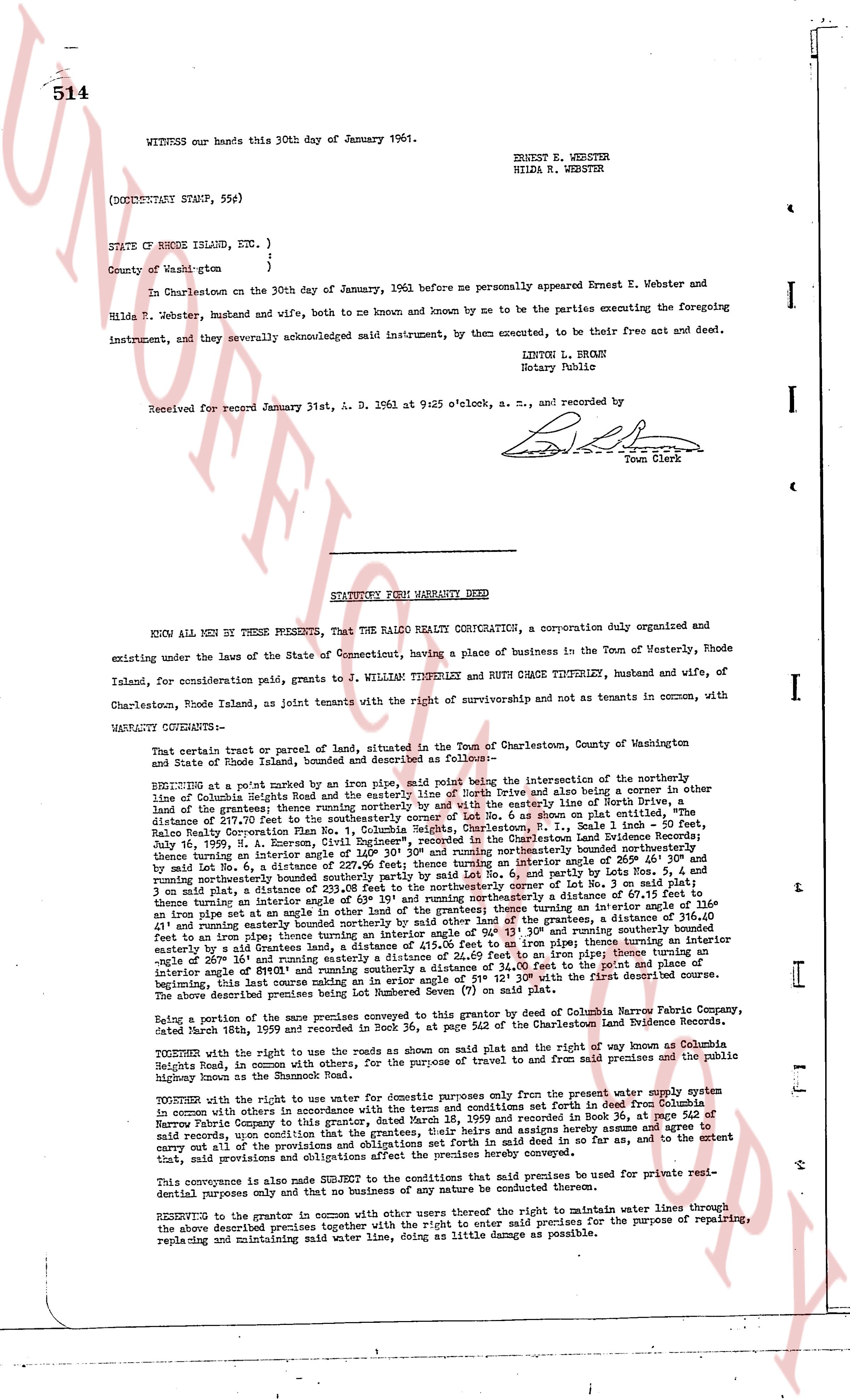
WITNESS our hands this 30th day of January 1961.
ERNEST E. WEBSTER
HILDA R. WEBSTER
(DOCUMENTARY STAMP, 55¢)
STATE OF RHODE ISLAND, ETC. )
)
County of Wash-gton )
In Charlestown on the 30th day of January, 1961 before me personally appeared Ernest E. Webster and Hilda R. Webster, husband and wife, both to me known and by me to be the parties executing the foregoing instrument, and they severally acknowledged said instrument, by them executed, to be their free act and deed.
LINTON L. BROWN
Notary Public
Received for record January 31st, A. D. 1961 at 9:25 o'clock, a. m., and recorded by
[Signature]
Town Clerk
----
STATUTORY FORM WARRANTY DEED
KNOW ALL MEN BY THESE PRESENTS, That the RALCO REALTY CORPORATION, a corporation duly organized and existing under the laws of the State of Connecticut, having a place of business in the Town of Westerly, Rhode Island, for consideration paid to, G WILLIAM TINBERLEY and RUTH GRACE TINBERLEY, husband and wife, of Charlestown, Rhode Island, as joint tenants with the right of survivorship and not as tenants in common, with
WARRANTY COVENANTS--
That certain tract or parcel of land, situated in the Town of Charlestown, County of Washington and State of Rhode Island, bounded and described as follows--
BEGINNING at a point marked by an iron pipe, 1/2" solid being the intersection of the northerly line of Columbia Heights Road and the easterly line of North Drive and also being a corner in other line of land of the grantees; thence running northerly by said North Drive and also being the northerly line of distance of 57.00 feet to an iron pipe at the easterly line of Road 6, as shown on plat entitled, The Ralco Realty Corporation Plan Vol. I, Columbia Heights, Charlestown, R. I., Book 34, page 154 of the Charlestown Land Evidence Records; thence running easterly by said Road 6, a distance of 111.00 feet to an iron pipe at the easterly line of land of the grantees; thence turning an interior angle of 140° 30' and running southeasterly a distance of 166.40' and by said Lot No. 6, a distance of 166.40' to an iron pipe at the easterly line of a distance of 246.00' and by said Lot No. 6, a distance of 246.00' and turning northerly southeasterly bounded partly by said Lot No. 6, and partly by Lots Nos. 5, 4 and 3 as shown on plat, a distance of 111.00 feet to an iron pipe at the easterly line of a distance of 336.40' and thence turning an interior angle of 139° 05' and running northerly a distance of 67.15 feet to an iron pipe at the easterly line of a distance of 336.40' and running northerly a distance of 67.15 feet to an iron pipe at the easterly line of a distance of 336.40' and running northerly a distance of 67.15 feet to an iron pipe at the easterly line of a distance of 336.40' and running northerly a distance of 67.15 feet to an iron pipe at the easterly line of a distance of 336.40' and running northerly a distance of 67.15 feet to an iron pipe at the easterly line of a distance of 336.40' and running northerly a distance of 67.15 feet to an iron pipe at the easterly line of a distance of 336.40' and running northerly a distance of 67.15 feet to an iron pipe at the easterly line of a distance of 336.40' and running northerly a distance of 67.15 feet to an iron pipe at the easterly line of a distance of 336.40' and running northerly a distance of 67.15 feet to an iron pipe at the easterly line of a distance of 336.40' and running northerly a distance of 67.15 feet to an iron pipe at the easterly line of a distance of 336.40' and running northerly a distance of 67.15 feet to an iron pipe at the easterly line of a distance of 336.40' and running northerly a distance of 67.15 feet to an iron pipe at the easterly line of a distance of 336.40' and running northerly a distance of 67.15 feet to an iron pipe at the easterly line of a distance of 336.40' and running northerly a distance of 67.15 feet to an iron pipe at the easterly line of a distance of 336.40' and running northerly a distance of 67.15 feet to an iron pipe at the easterly line of a distance of 336.40' and running northerly a distance of 67.15 feet to an iron pipe at the easterly line of a distance of 336.40' and running northerly a distance of 67.15 feet to an iron pipe at the easterly line of a distance of 336.40' and running northerly a distance of 67.15 feet to an iron pipe at the easterly line of a distance of 336.40' and running northerly a distance of 67.15 feet to an iron pipe at the easterly line of a distance of 336.40' and running northerly a distance of 67.15 feet to an iron pipe at the easterly line of a distance of 336.40' and running northerly a distance of 67.15 feet to an iron pipe at the easterly line of a distance of 336.40' and running northerly a distance of 67.15 feet to an iron pipe at the easterly line of a distance of 336.40' and running northerly a distance of 67.15 feet to an iron pipe at the easterly line of a distance of 336.40' and running northerly a distance of 67.15 feet to an iron pipe at the easterly line of a distance of 336.40' and running northerly a distance of 67.15 feet to an iron pipe at the easterly line of a distance of 336.40' and running northerly a distance of 67.15 feet to an iron pipe at the easterly line of a distance of 336.40' and running northerly a distance of 67.15 feet to an iron pipe at the easterly line of a distance of 336.40' and running northerly a distance of 67.15 feet to an iron pipe at the easterly line of a distance of 336.40' and running northerly a distance of 67.15 feet to an iron pipe at the easterly line of a distance of 336.40' and running northerly a distance of 67.15 feet to an iron pipe at the easterly line of a distance of 336.40' and running northerly a distance of 67.15 feet to an iron pipe at the easterly line of a distance of 336.40' and running northerly a distance of 67.15 feet to an iron pipe at the easterly line of a distance of 336.40' and running northerly a distance of 67.15 feet to an iron pipe at the easterly line of a distance of 336.40' and running northerly a distance of 67.15 feet to an iron pipe at the easterly line of a distance of 336.40' and running northerly a distance of 67.15 feet to an iron pipe at the easterly line of a distance of 336.40' and running northerly a distance of 67.15 feet to an iron pipe at the easterly line of a distance of 336.40' and running northerly a distance of 67.15 feet to an iron pipe at the easterly line of a distance of 336.40' and running northerly a distance of 67.15 feet to an iron pipe at the easterly line of a distance of 336.40' and running northerly a distance of 67.15 feet to an iron pipe at the easterly line of a distance of 336.40' and running northerly a distance of 67.15 feet to an iron pipe at the easterly line of a distance of 336.40' and running northerly a distance of 67.15 feet to an iron pipe at the easterly line of a distance of 336.40' and running northerly a distance of 67.15 feet to an iron pipe at the easterly line of a distance of 336.40' and running northerly a distance of 67.15 feet to an iron pipe at the easterly line of a distance of 336.40' and running northerly a distance of 67.15 feet to an iron pipe at the easterly line of a distance of 336.40' and running northerly a distance of 67.15 feet to an iron pipe at the easterly line of a distance of 336.40' and running northerly a distance of 67.15 feet to an iron pipe at the easterly line of a distance of 336.40' and running northerly a distance of 67.15 feet to an iron pipe at the easterly line of a distance of 336.40' and running northerly a distance of 67.15 feet to an iron pipe at the easterly line of a distance of 336.40' and running northerly a distance of 67.15 feet to an iron pipe at the easterly line of a distance of 336.40' and running northerly a distance of 67.15 feet to an iron pipe at the easterly line of a distance of 336.40' and running northerly a distance of 67.15 feet to an iron pipe at the easterly line of a distance of 336.40' and running northerly a distance of 67.15 feet to an iron pipe at the easterly line of a distance of 336.40' and running northerly a distance of 67.15 feet to an iron pipe at the easterly line of a distance of 336.40' and running northerly a distance of 67.15 feet to an iron pipe at the easterly line of a distance of 336.40' and running northerly a distance of 67.15 feet to an iron pipe at the easterly line of a distance of 336.40' and running northerly a distance of 67.15 feet to an iron pipe at the easterly line of a distance of 336.40' and running northerly a distance of 67.15 feet to an iron pipe at the easterly line of a distance of 336.40' and running northerly a distance of 67.15 feet to an iron pipe at the easterly line of a distance of 336.40' and running northerly a distance of 67.15 feet to an iron pipe at the easterly line of a distance of 336.40' and running northerly a distance of 67.15 feet to an iron pipe at the easterly line of a distance of 336.40' and running northerly a distance of 67.15 feet to an iron pipe at the easterly line of a distance of 336.40' and running northerly a distance of 67.15 feet to an iron pipe at the easterly line of a distance of 336.40' and running northerly a distance of 67.15 feet to an iron pipe at the easterly line of a distance of 336.40' and running northerly a distance of 67.15 feet to an iron pipe at the easterly line of a distance of 336.40' and running northerly a distance of 67.15 feet to an iron pipe at the easterly line of a distance of 336.40' and running northerly a distance of 67.15 feet to an iron pipe at the easterly line of a distance of 336.40' and
The page as recorded