The instrument's own words
page 1 · read by Gemma vision
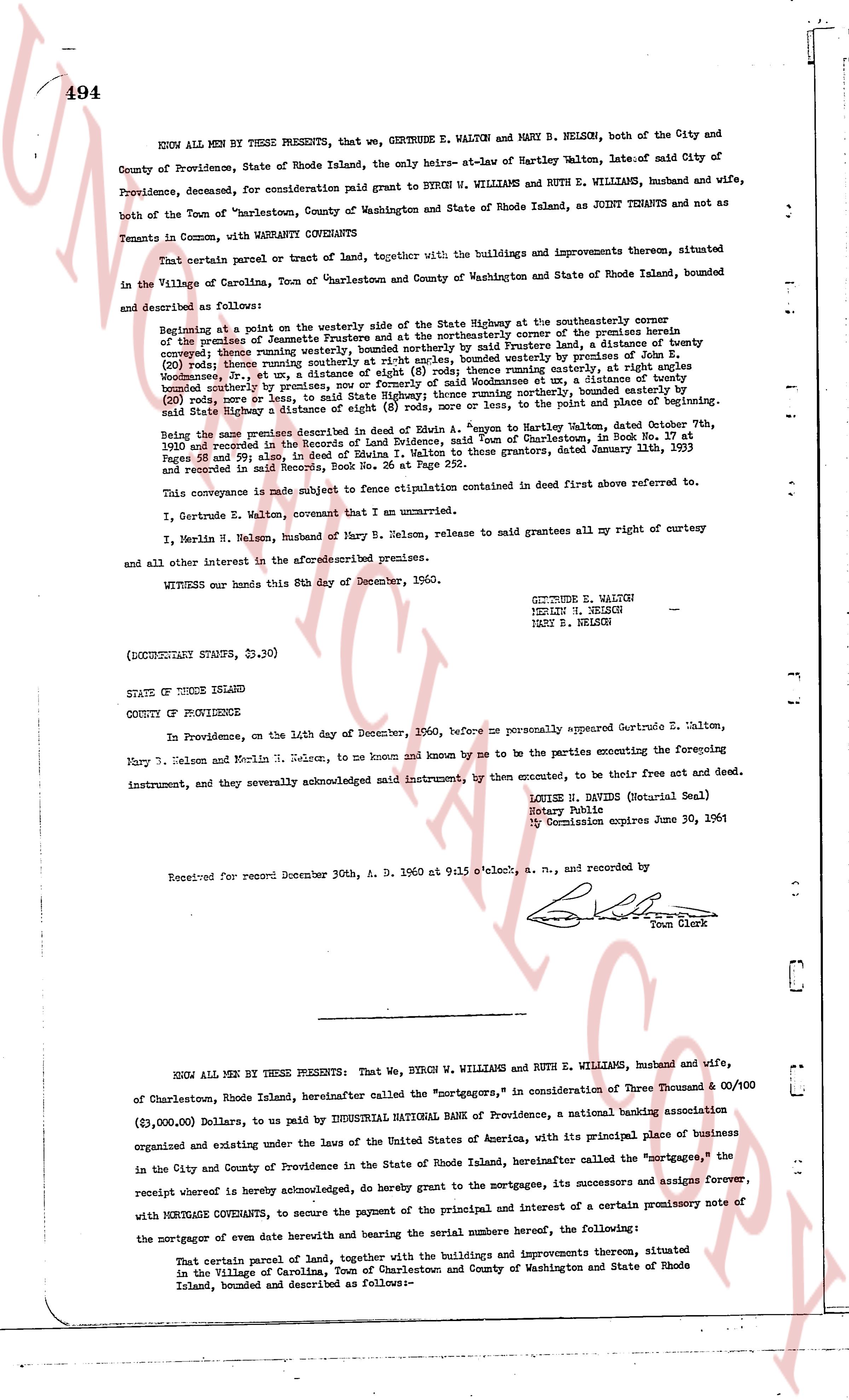
494
KNOW ALL MEN BY THESE PRESENTS, that we, GERTRUDE E. WALTON and MARY B. NELSON, both of the City and County of Providence, State of Rhode Island, the only heirs-at-law of Hartley Walton, late of said City of Providence, deceased, for consideration paid grant to BYRON W. WILLIAMS and RUTH E. WILLIAMS, husband and wife, both of the Town of "Charlestown, County of Washington and State of Rhode Island, as JOINT TENANTS and not as Tenants in Common, with MORTGAGE COVENANTS
That certain parcel of road and tract of land, together with the buildings and improvements thereon, situated in the Village of Carlolina, Town of Charlestown and County of Washington and State of Rhode Island, bounded and described as follows:
Beginning at a point on the westerly side of the State Highway street at the southerly corner of the premises of acreage sometimes referred to as the "Old-Stone-House", bounded easterly by said State Highway street, running westerly bounded southright at right angles, bounded northerly by premises of acreage sometimes referred to as the "Old-Stone-House", thence running easterly, at right angles bounded southerly by premises, now or formerly owned of Woodmaness at a distance of twenty feet bounded northerly on the line of the premises of acreage sometimes referred to as the "Old-Stone-House", then a line running southerly, bounded easterly by said State Highway street a distance of eight (8) rods, or more, or less, to the point and place of beginning.
Being the same premises described in deed of Ezrah A. Young to Mapton Walten, dated October 8th, 1903 and recorded in the Record of deeds of the County of Providence, 18 Book at Page 47 and Pages 58 and 59; also, in deed of Edna I. Walton to these grantors, dated January 11th, 1953 and recorded in said records, Book No. 26 at Page 147.
This conveyance is made subject to fence litigation contained in deed first above referred to.
I, Gertrude E. Walton, covenant that I am unmarried.
I, Merlin N. Nelson, husband of Mary B. Nelson, release to said grantees all my right of curtesy and all other interest in the aforesaid premises.
WITNESS our hands this 8th day of December, 1960.
GERTRUDE E. WALTON
MERLIN N. NELSON
MARY B. NELSON
(DOCUMENTARY STAMPS, 23.30)
STATE OF RHODE ISLAND
COUNTY OF PROVIDENCE
In Providence, on the 14th day of December, 1960, before me personally appeared Gertrude E. Walton, Mary B. Nelson and Merlin N. Nelson, to me known and known by me to be the parties executing the foregoing instrument, and they severally acknowledged named instrument, by them executed, to be their free act and deed.
LOUISE H. DAVIS (Notary Seal)
Notary Public
My Commission expires June 30, 1961
Received for record December 30th, A. D. 1960 at 9:15 o'clock, a. m., and recorded by
[Signature]
Town Clerk
----
KNOW ALL MEN BY THESE PRESENTS: That we, BYRON W. WILLIAMS and RUTH E. WILLIAMS, husband and wife, of Charlestown, Rhode Island, hereinafter called the "mortgagors," in consideration of three Thousand & 00/100 ($3,000.00) Dollars, to us paid by INDUSTRIAL NATIONAL BANK of Providence, a national banking association organized and existing under the laws of the United States of America, with its principal place of business in the City and County of Providence in the State of Rhode Island, hereinafter called the "mortgagee," the receipt whereof is hereby acknowledged, do hereby grant to the mortgagees, its successors and assigns forever, with MORTGAGE COVENANTS, to secure the payment of the principal and interest of a certain promissory note of the mortgagor of an even date herewith and bearing the serial numbers hereof, the following:
That certain parcel of land, together with the buildings and improvements thereon, situated in the Village of Carlolina, Town of Charlestown and County of Washington and State of Rhode Island, bounded and described as follows:—
page 2 · read by Gemma vision
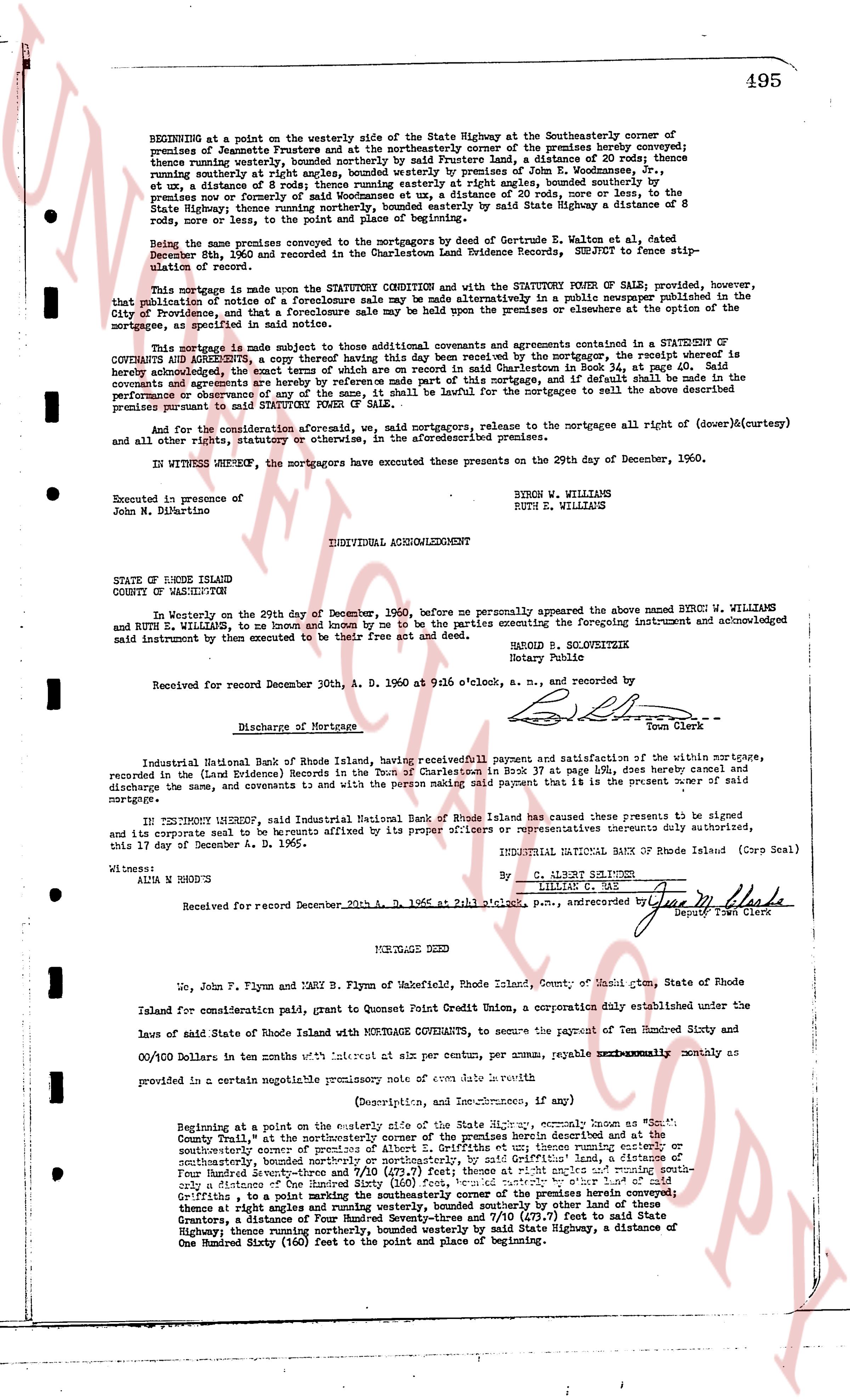
495
BEGINNING at a point on the westerly side of the State Highway at the Southeasterly corner of the premises of Jeannette Frustere and at the northeasterly corner of the premises hereby conveyed; thence running easterly, bounded southerly by the premises of [?] [?], a distance of 30 Rods; thence running easterly at right angles, bounded southerly by premises of John E. Woodmansees, Jr., et ux, a distance of 8 rods; thence running easterly at right angles, bounded southerly by the premises run or partly run by the premises of [?] [?], a distance of 30 rods, more or less to the State Highway; thence running northerly, bounded easterly by said State Highway, a distance of 8 rods; thence, to the point of beginning.
Being the same premises conveyed to the mortgagors by deed of Gertrude E. Walten, et al dated December 8th, 1960 and recorded in the Charlestown Land Evidence Books, SUBJECT to fence agreements.
This mortgage is made under the STATUTE CONDITION and with the STATUTORY POWER OF SALE; provided, however, that publication of notice of a foreclosure sale may be made alternatively in a public newspaper published in the City of Providence, and that a foreclosure sale may be held up only on the premises alone or at the courthouse where the mortgage, as specified in said notice.
This mortgage is made subject to those additional covenants and restrictions contained in the STATUTORY OF COVENANTS AND AGREEMENTS, a copy thereof of which was read by the mortgagors, the receipt whereof is hereby acknowledged, the exact terms of which are recorded in said Book 37, at page 494, said covenants and agreements are hereby by reference made part of this mortgage, and if default shall occur in the performance of any of said covenants and agreements, the mortgagee shall have the right to sell the above described premises pursuant to said STATUTORY POWER OF SALE.
And for the consideration aforesaid we, said mortgagors, release to the mortgagee all right of (dower)&(curtesy) and all other rights, estates or otherwise, in the aforementioned premises.
IN WITNESS WHEREOF, the mortgagors have executed this present on the 29th day of December, 1960.
Executed in presence of
John M. DiNartino
BYRON W. WILLIAMS
RUTH E. WILLIAMS
INDIVIDUAL ACKNOWLEDGMENT
STATE OF RHODE ISLAND
COUNTY OF WASHINGTON
In Westerly on the 29th day of December, 1960, before me personally appeared the above named BYRON W. WILLIAMS and RUTH E. WILLIAMS, to me known and by me to be the parties executing the foregoing instrument and acknowledged said instrument then and execute to be their free act and deed.
BARON B. SLOVOKZEITIK
Notary Public
Received for record December 30th, A. D. 1960 at 9:16 o'clock, a. m., and recorded by
[Signature]
Town Clerk
Discharge of Mortgage
Industrial National Bank of Providence, having received full payment and satisfaction of the within mortgage, recorded in the (Land Evidence Books) in the Town of Charlestown in Book 37 at page 494, does hereby cancel and discharge the same, and covenants to and with the person making said payment that it is the present owner of said mortgage.
IN TESTIMONY WHEREOF, said Industrial National Bank of Providence has caused these presents to be signed and its corporate seal to be affixed by its proper officers or representatives thereunto duly authorized, this 17 day of December A. D. 1965.
WITNESS:
ALIA W. NORDY'S
INDUSTRIAL NATIONAL BANK OF PROVIDENCE (Corp Seal)
By C. ALBERT SELTON
OFFICER
Received for record December 20th, 1965, A. D. 1965 at 1:15 o'clock, p.m., and recorded by [Signature]
Deputy Town Clerk
----
MORTGAGE DEED
We, John F. Flynn and EMY B. Flynn of Wakefield, Rhode Island, County of Washington, State of Rhode Island for consideration paid, grant to Consent Point Credit Union, a Corporation duly established under the laws of State of Rhode Island with MORTGAGE COVENANTS, to secure the payment of Ten Hundred Sixty and 00/100 Dollars in ten tenths with interest at six per centum per annum, payable EXECUTORILY monthly as provided in a certain negotiable promissory note of even date herewith
(Description, and Incumbrances, if any)
BEGINNING at a point on the easterly side of the State Highway, commonly known as South County Trail, at the northeasterly corner of premises of Griffitts and up thence running easterly or southeasterly corner of premises of Griffitts and up thence running easterly or southeasterly, bounded northerly or northeasterly, by said Griffitts, a distance of 10 rods; thence running Four Rods northwesterly, bounded northeasterly by premises of [?] [?] at right angles and running south westerly a distance of One Hundred Sixty (160) feet, bounded easterly by the premises of herein conveyed; thence at right angles and running westerly, bounded southerly by other land of these Griffitts, a distance of Four Rods; thence running south westerly 170 (170) feet to said State Highway; thence running northerly, bounded westerly by said State Highway, a distance of One Hundred Sixty (160) feet to the point and place of beginning.
The page as recorded