The instrument's own words
page 1 · read by Gemma vision
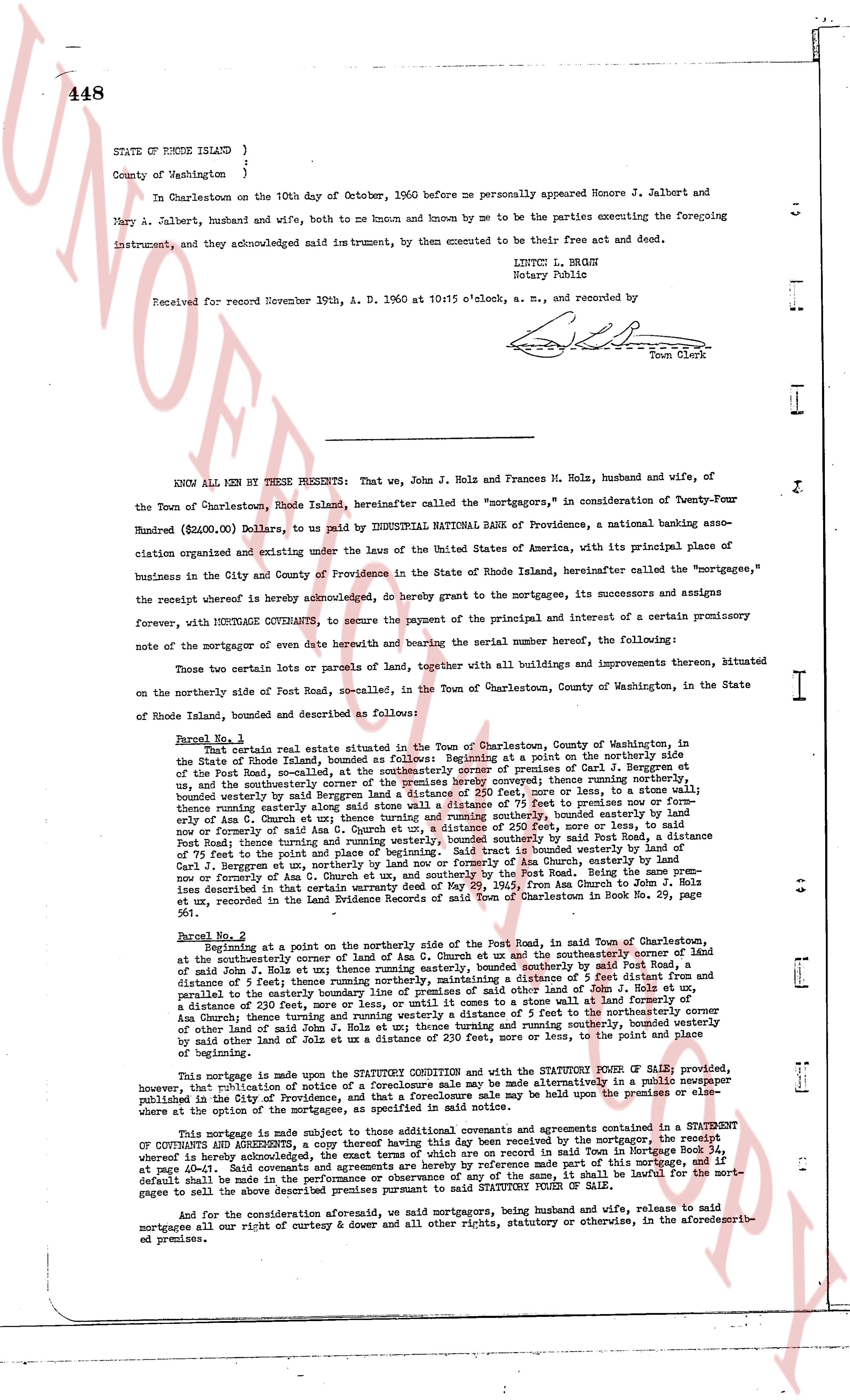
448
STATE OF RHODE ISLAND }
County of Washington }
On Charlestown on the 10th day of October, 1960 before me personally appeared Honore J. Jalbert and
Mary A. Jalbert, husband and wife, both to me known and by me known to be the parties executing the foregoing
Instrument, and they acknowledged said instrument, by them executed to be their free act and deed.
LINTON L. BROWN
Notary Public
Received for record November 19th, A. D. 1960 at 10:15 o'clock, a. m., and recorded by
[Signature]
Town Clerk
----
KNOW ALL MEN BY THESE PRESENTS: That we, John J. Holz and Frances M. Holz, husband and wife, of
the Town of Charlestown, Rhode Island, hereinafter called the "mortgagors," in consideration of Twenty-Four
Hundred ($2,000.00) Dollars, to us paid by INDUSTRIAL NATIONAL BANK of Providence, a national banking asso-
ciation organized and existing under the laws of the United States of America, with its principal place of
business in the City and County of Providence in the State of Rhode Island, hereinafter called the "mortgagee,"
the receipt whereof is hereby acknowledged, do hereby grant to the mortgagee, its successors and assigns
forever, with MORTGAGE COVENANTS, to secure the payment of the principal and interest of a certain promissory
note of the mortgagor or agents of the same date hereof and bearing the serial number beneath, the following:
Those two certain parcels of land, together with all improvements thereon, bituminized
on the northerly side of Post Road, so-called, in the Town of Charlestown, County of Washington, in the State
of Rhode Island, bounded and described as follows:
Parcel No. 1:
That certain real estate situate in the Town of Charlestown, County of Washington, in
the State of Rhode Island, bounded as follows: Beginning at a point on the northerly side
of the Post Road, so-called, at the northeasterly corner of premises conveyed to Carl J. Bergman et
ux., and the southeasterly corner of the premises hereby conveyed, thence running northerly,
and the southeasterly corner of the premises hereby conveyed, thence running northerly,
bounded westerly by said premises a distance of 250 feet, more or less, to a stone wall; bounded
northerly by land of [?] a distance of 77 feet running easterly along said stone wall; bounded easterly by land
of Eric A. Gmach et ux a distance of 250 feet, running southerly to a point on the northerly side of
Post Road; thence running westerly along the northerly side of Post Road, a distance of 250 feet,
now or formerly of said Eric A. Gmach et ux, a distance of 250 feet, more or less, to the point
of beginning. Said tract is bounded southerly by said Post Road, a distance of 250 feet, a distance
of 75 feet to the point of beginning. Said tract is bounded westerly by said Post Road, a distance
of 250 feet to the point of beginning. Said tract is bounded northerly by said Eric A. Gmach, a distance
of 75 feet to the point of beginning. Said tract is bounded easterly by said Carl J. Bergman, a distance
now or formerly of Eric A. Gmach et ux, and southerly by the Post Road. Being the same prem
ises described in the deed from Carl J. Bergman et ux to us, dated May 14th from Anchor to the [?]
et ux, recorded in the Land Evidence Records of said Town of Charlestown in Book No. 29, page 561.
Parcel No. 2:
Beginning at a point on the northerly side of the Post Road, in said Town of Charlestown,
at the southeasterly corner of land of Eric A. Gmach et ux and the southeasterly corner of land
of John J. Holz et ux; thence running easterly, bounded southerly by said Post Road
for a distance of 75 feet; thence running northerly, bounded westerly by said Post Road, and then
parallels to the easterly boundary line of premises of said others of land of John J. Holz et ux,
a distance of 250 feet, more or less, until it comes to a stone wall; and then running northerly on
said Gmach fence, turning running northerly a distance of 77 feet to the northeasterly corner
of other land of said John J. Holz et ux; thence turning and running southerly a distance of 250
feet, more or less, to the point of beginning, bounded easterly by said premises, more or less, to the point
of beginning.
This mortgage is made in the STATUTE CONDITION and with the STATUTORY POWER OF SALE provided,
however, that publication of notice of a foreclosure sale may be made alternatively in a public newspaper
published in the City of Providence, and that a foreclosure sale may be held under the premises or else-
where as the option of the mortgagee.
This mortgage is made subject to those additional covenants and agreements contained in a STATEMENT
OF COVENANTS AND AGREEMENTS, a copy thereof having this day been received by the mortgagor, the receipt
whereof is hereby acknowledged, recorded in the Land Evidence Records of said Town in Book No. 37,
at pages 40-41. Said covenants and agreements are by reference made part of this mortgage, and if for
default be made in any of said covenants and agreements in any wise, said shall be lawful for the mort-
gagee to sell the above described premises pursuant to said STATUTORY POWER OF SALE.
And for the consideration aforesaid, we said mortgagors, being husband and wife, release to said
mortgagees all our right of curtesy & dower and all other rights, statutory or otherwise, in the aforedescribed premises.
page 2 · read by Gemma vision
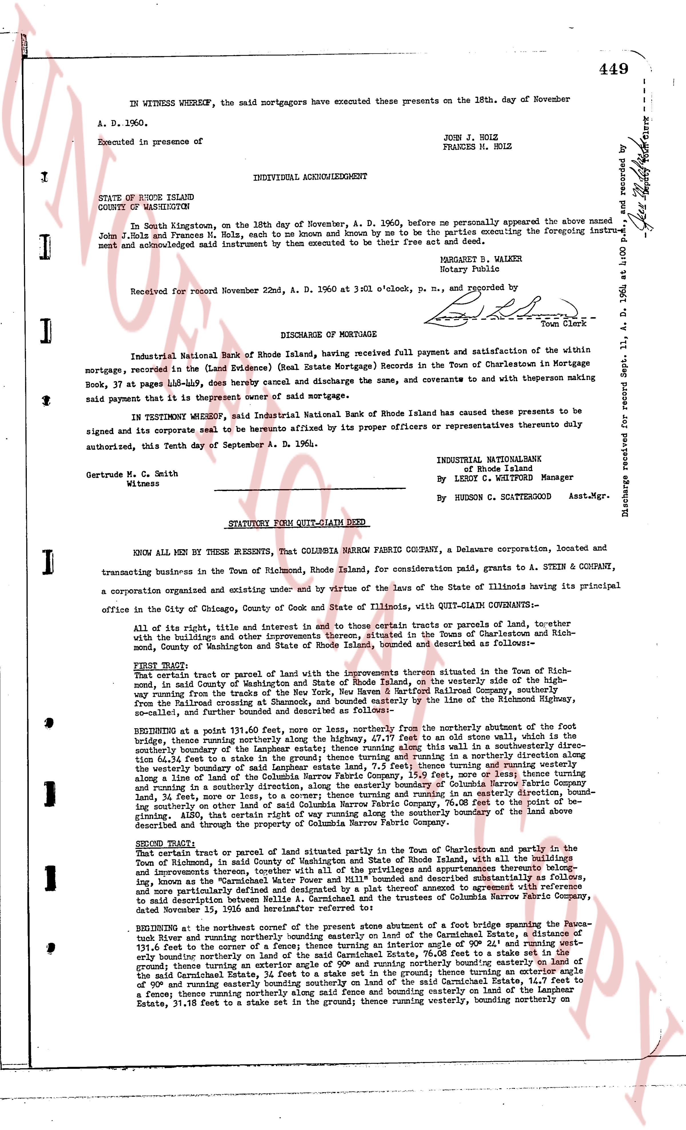
449
IN WITNESS WHEREOF, the said mortgagors have executed these presents on the 18th day of November A. D. 1960.
Executed in presence of
JOHN J. HOLZ
FRANCES M. HOLZ
INDIVIDUAL ACKNOWLEDGMENT
STATE OF RHODE ISLAND
COUNTY OF WASHINGTON
In South Kingstown, on the 18th day of November, A. D. 1960, before me personally appeared the above named John J. Holz and Frances M. Holz, each to me known and known by me to be the parties executing the foregoing instrument and acknowledged said instrument to be their free act and deed.
MARGARET B. WALKER
Notary Public
Received for record November 22nd, A. D. 1960 at 3 NOI o'clock, p. m. and recorded by [?]
[Signature]
Town Clerk
----
DISCHARGE OF MORTGAGE
Industrial National Bank of Rhode Island, having received full payment and satisfaction of the within mortgage, recorded in the (Land Evidence) (Real Estate Mortgage) Records in the Town of Charlestown in Mortgage Book, 37 at page 448-did, hereby cancel and discharge the same, and to covenant and to with present that the same is payment owner of said mortgage.
In TESTIMONY WHEREOF, said Industrial National Bank of Rhode Island has caused these presents to be signed and its corporate seal to be hereunto affixed by its proper officers or representatives thereto duly authorized, this Tenth day of September A. D. 1964.
INDUSTRIAL NATIONAL
of Rhode Island
By LESLIE C. WHITFORD Manager
Gertrude M. C. Smith
Witness
By HUDSON R. SCATTERGOOD Asst.Mgr.
----
STATUTORY FORM QUIT-CLAIM DEED
KNOW ALL MEN BY THESE PRESENTS, That COLUMBIA MARRY FABRIC COMPANY, a Delaware corporation, located and transacting business in the Town of Richmond, Rhode Island, for consideration paid, grants to A. STEIN & COMPANY, a corporation organized and existing under and by virtue of the laws of the State of Illinois, having its principal office in the City of Chicago, County of Cook and State of Illinois, with QUIT-CLAIM CONVEYANCE:
Of all the rights, title and interest in and to certain tracts or parcels of land, together with the buildings and other improvements thereon, situated in the Town of Charlestown and Richmond, with the boundaries and descriptions as follows:
FIRST TRACT: That certain piece of land together with its improvements thereon situated in the Town of Richmond, in said County of Washington and State of Rhode Island, on the westerly side of the Highway running from the Railroad crossings at Shawcut, Rhode Island, near the Barstow Railroad Company, southerly from the Railroad crossing at Shawcut, Rhode Island, bounding easterly by the line of the Richmond Highway, so called, and further bounded and described as follows:
BEGINNING at a point 31.91 feet, 60.00 feet, more or less, northerly from the northerly abutment of the first bridge, true bearing northerly along the highway 37.11 feet, to an old stone wall which is the southerly boundary of the land of the Industrial National Bank of Rhode Island along this wall in a southeasterly direction 34.11 feet, to a stake in the ground and thence turning running and running in a northerly direction 34.11 feet, to a stake in the ground and thence turning running and running westerly bounding along a line of the land of Columbia Marry Fabric Company, 153.09 feet, more or less; thence turning and running in a southeasterly direction 34.11 feet, to a stake in the ground and thence turning running and running easterly 134.11 feet, more or less; or to a concrete turning and running in an easterly direction, bounding easterly along the line of the land of the Industrial National Bank, 70.08 feet to an old stone wall, designating along 41.20, that certain other way of running way along the southerly boundary of the land above described and through the premises.
SECOND TRACT: That certain tract of land of said plat situated partly in the Town of Charlestown and partly in the Town of Richmond, in said County of Washington and State of Rhode Island, with all the buildings and improvements thereon, together with all of the privileges and appurtenances thereto belonging, known as the "Textile Mill" and the land on which it stands, which land is described as follows:
and more particularly defined and designated by a plat thereof annexed to agreement with reference to said description between A. Stein & Company and the trustees of Columbia Marry Fabric Company, dated November 18, 1964.
BEGINNING at the northeast corner of the present stone abutment of a foot bridge crossing the Woonasuck River and running northerly bounding easterly along the boundary line of the Industrial National Bank 131.4 feet to a fence turning and running easterly along said fence in an interior angle of 90° 24' and running westerly bounding northerly on land of the said Carmichael Estate, 70.08 feet to a fence and thence turning easterly bounding southerly on land of the said Carmichael Estate, bounding easterly on land of the said Carmichael Estate, 24 feet to a stake set in the ground; thence turning an exterior angle of 90° and running easterly along the boundary line of the said Carmichael Estate, 131.4 feet to a fence; thence turning northerly along said fence and bounding easterly on land of the Langbie Estate, 31.18 feet to a stake set in the ground; thence turning westerly, bounding northerly on
The page as recorded