The instrument's own words
page 1 · read by Gemma vision
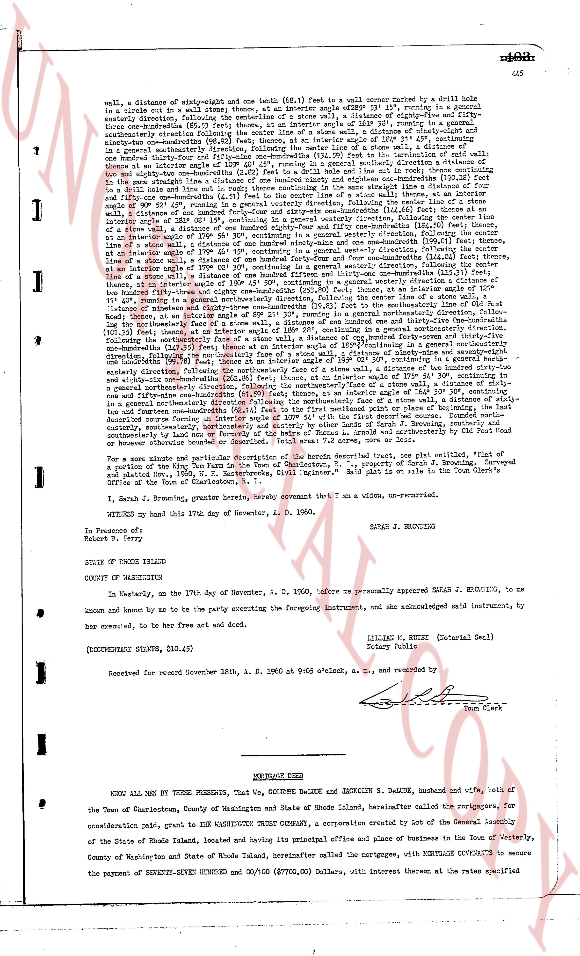
445
wall, a distance of sixty-eight and one tenth feet (68.1') to a wall corner marked by a drill hole in a slate cut out in a stone block; thence, at an interior angle of 52°59' 15", running in a general easterly direction, following the centerline of a stone wall, a distance of eighty-five and fifty-three one-hundredths feet (85.53') thence, at an interior angle of 118°42' 36", running in a general southeasterly direction following the centerline of a stone wall, a distance of ninety-eight and ninety-one one-hundredths feet (98.91') thence, at an interior angle of 119° 1' 57", running in a general southerly direction following the centerline of a stone wall, a distance of one hundred thirty-four and fifty-one one-hundredths feet (134.51') thence, at an interior angle of 111° 1' 10", running in a general southerly direction following the centerline of a stone wall, a distance of one hundred thirty-four and fifty-one one-hundredths feet (134.51') to the termination of said wall thence at an interior angle of 118° 42' 36", running in a general southerly direction following the centerline of two and eighty-two one-hundredths feet (2.82') to a drill hole and line set in rock; thence continuing in the same direction to a drill hole and line set in rock; thence continuing in the same line straighting a distance of four and one-tenth feet (4.1') to the termination of said stone wall; thence at an interior angle of 90° 52' 59", running in a general westerly direction, following the center line of a stone wall, a distance of ninety-eight and ninety-one one-hundredths feet (98.91') thence, at an interior angle of 128° 01' 19", continuing in a general westerly direction, following the center line of a stone wall, a distance of eighty-five and fifty-three one-hundredths feet (85.53') thence, at an interior angle of 79° 46' 50", continuing in a general westerly direction, following the center line of a stone wall, a distance of sixty-eight and one tenth feet (68.1') thence, at an interior angle of 79° 46' 15", continuing in a general westerly direction, following the center line of a stone wall, a distance of one hundred thirty-four and fifty-one one-hundredths feet (134.51') thence, at an interior angle of 082° 01' 30", continuing in a general westerly direction, following the center line of a stone wall, a distance of one hundred thirty-four and fifty-one one-hundredths feet (134.51') thence, at an interior angle of 128° 51' 50", continuing in a general westerly direction a distance of one lump stone wall, a distance of ninety-eight and ninety-one one-hundredths feet (98.91') thence, at an interior angle of 118° 42' 59", continuing in a general westerly direction a distance of two hundred fifty-three and eighty-one one-hundredths feet (253.81') following the center line of a stone wall, a distance of one hundred twenty-four and eighty-one one-hundredths feet (124.81') thence, at an interior angle of ninety-one and eighty-three one-hundredths degrees (91.83°) following the center line of a stone wall, a distance of ninety-one and eighty-three one-hundredths feet (91.83') running in a general northeasterly direction, following the northeasterly face of a stone wall, a distance of one hundred one and thirty-nine one-hundredths feet (101.39') thence, at an interior angle of 118° 42' 36", running in a general northeasterly direction, following the northeasterly face of a stone wall, a distance of one hundred forty-seven and twenty-nine one-hundredths feet (147.29') thence, at an interior angle of 118° 42' 36", running in a general northeasterly direction, following the northeasterly face of a stone wall, a distance of ninety-nine and seventy-eight one-hundredths feet (99.78') thence, at an interior angle of 118° 42' 36", running in a general northeasterly direction, following the northeasterly face of a stone wall, a distance of two hundred sixty-two and eighty-one one-hundredths feet (262.81') thence, at an interior angle of 118° 42' 36", running in a general northeasterly direction, following the northeasterly face of a stone wall, a distance of two hundred sixty-two and eighty-one one-hundredths feet (262.81') thence, at an interior angle of 118° 42' 36", running in a general northeasterly direction following the northeasterly face of the stone wall a distance of sixty-one and thirty-six one-hundredths feet (61.36') to the point of beginning. The said land is more or less a rectangle described coursing form an interior angle of N 04° 51' W with the first described course. Bounded north easterly, easterly, southeasterly, southerly, southwesterly, westerly and northwesterly by land now or formerly of the heirs of Thomas M. Arnold and northwesterly by Old Post Road or however otherwise bounded or described. Total area 7.2 acres, more or less.
For a more minute and particular description of the said land, see plat entitled, "Plat of a portion of land belonging to Sarah J. Browning of Charlestown, R.I." property of Sarah J. Browning. Surveyed and platted Nov., 1936, W. R. Easterbrooks, Civil Engineer." Said plat is on file in the Town Clerk's Office of the Town of Charlestown.
I, Sarah J. Browning, grantor herein, hereby covenant that I am a widow, un-remarried.
WITNESS my hand this 11th day of November, A. D. 1960.
SARAH J. BROWNING
In Presence of:
Robert B. Perry
STATE OF RHODE ISLAND
COUNTY OF WASHINGTON
In Westerly, on the 17th day of November, A. D. 1960, before me personally appeared SARAH J. BROWNING, to me known and known by me to be the party executing the foregoing instrument, and she acknowledged said instrument, by her executed, to be her free act and deed.
LILLIAN M. RUISI (Notarial Seal)
Notary Public
(DOCUMENTARY STAMPS, $10.45)
Received for record November 18th, A. D. 1960 at 9:02 o'clock, a. m., and recorded by [?]
Town Clerk
----
MORTGAGE DEED
KNOW ALL MEN BY THESE PRESENTS, That We, COLUMBE DELUDE and JACKOLYN S. DELUDE, husband and wife, both of the Town of Charlestown, County of Washington and State of Rhode Island, hereinafter called the mortgagors, for consideration paid, grant to WASHINGTON TRUST COMPANY, a corporation created by act of the General Assembly of the State of Rhode Island, located and having its principal office and place of business in the Town of Westerly, County of Washington and State of Rhode Island, hereinafter called the mortgagee, with MORTGAGE COVENANTS to secure the payment of SEVENTY-SEVEN HUNDRED and 00/100 ($7700.00) Dollars, with interest thereon at the rates specified
page 2 · read by Gemma vision
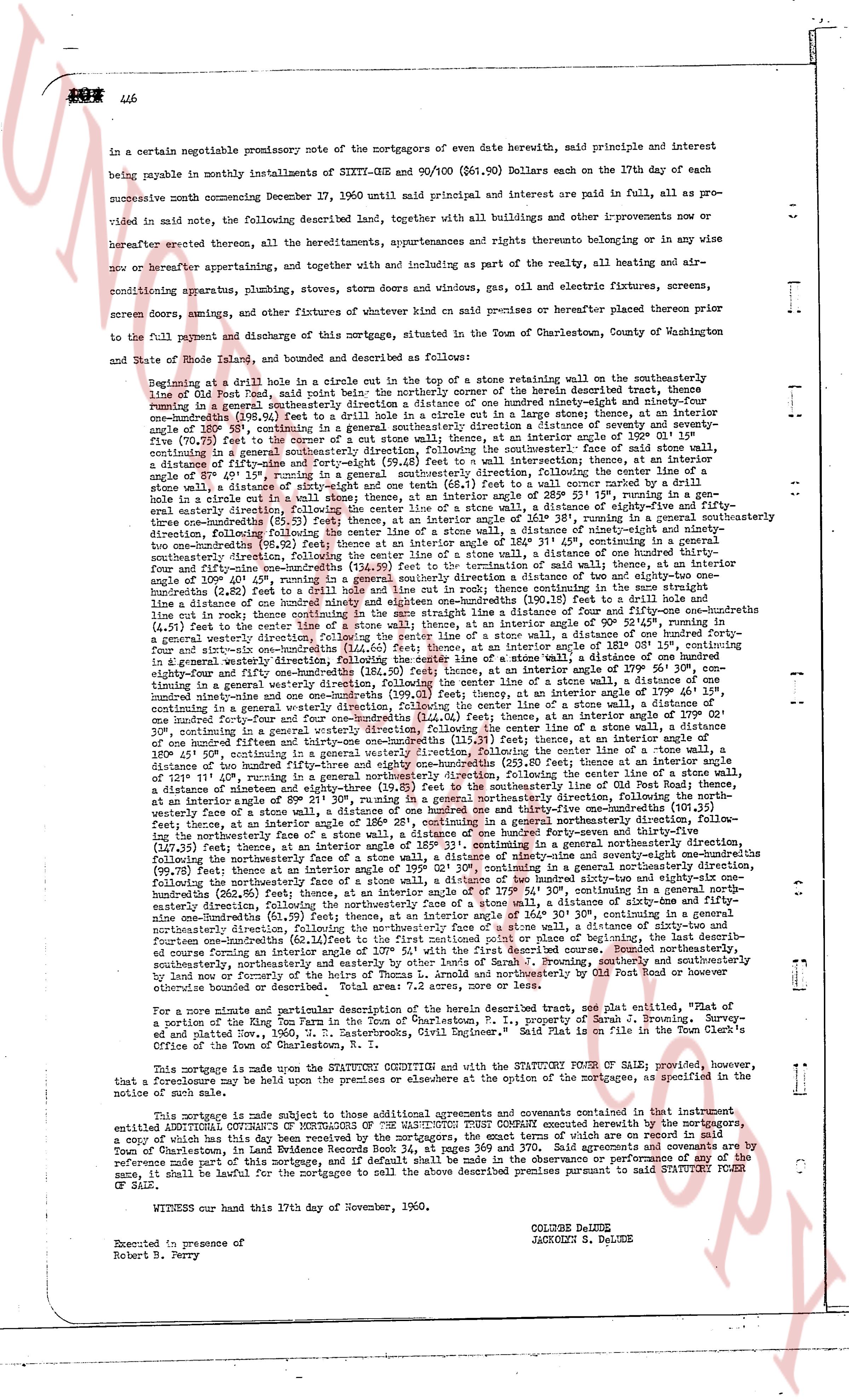
446
in a certain negotiable promissory note of the mortgagors of even date herewith, said principal and interest are
being payable in monthly installments of SIXTY-ONE and 90/100 ($61.90) Dollars each on the 17th day of each
successive month commencing December 17, 1960 until said principal and interest are paid in full, all pro-
vided in said note, the following described land, together with all buildings and other improvements now or
hereafter erected thereon, all the hereditaments, appurtenances and rights thereunto belonging or in any wise
now or hereafter appertaining, together and with including and as part of the realty, all heating and air-
conditioning apparatus, plumbing, stove doors and windows, gas, oil and electric fixtures, screens,
screen doors, swings, and other fixtures of whatever kind on said premises or hereafter placed thereon prior
to the full repayment and discharge of this mortgage, situated in the Town of Charlestown, County of Washington
and State of Rhode Island, bounded and described as follows:
Beginning at a drill hole indicated by a iron pin set on the top of a stone retaining wall on the southerlymost
line of said Plot, marked Point, said point being the northerly corner of the herein described tract, thence
running in a general southeasterly direction a distance of one hundred ninety-eight feet eight and one-half
inches (198.54) feet; thence at an interior angle of 150 00' running in a circle cut in a large stone, thence at an
interior angle of 180 58' continuing in a general southeasterly direction a distance of one hundred fifty-one
and one-half feet (151.5) feet; thence at an interior angle of 160 01' 15" continuing in a general
southeasterly direction a distance of one hundred twenty-four feet (124.0) feet; thence at an interior angle of
continuing in a general southeasterly direction, following the southeasterly face of one stone wall, a distance
of one hundred twenty-four feet (124.0) feet; thence at an interior angle of 130 00' running in a general
angle of 8 47' 00" running in a general southeasterly direction, following the center line of a stone
wall, a distance of one hundred twenty-four feet (124.0) feet; thence at an interior angle of 150 00' running in
hole in a circle cut in a stone wall, thence at an interior angle of 289 51' 00" running in a general south-
easterly direction, following the center line of a stone wall, a distance of one hundred forty-seven feet
two one-hundredths inches (147.02) feet, thence at an interior angle of 163 38', running in a general southeasterly
direction, following the center line of a stone wall, a distance of one hundred forty-seven feet
two one-hundredths inches (147.02) feet thence at an interior angle of 164 31' continuing in a general
southeasterly direction, following the center line of a stone wall, a distance of one hundred forty-seven feet
four one-hundredths inches (147.04) feet to the termination of said wall, thence at an interior angle
of 150 00' running in a general southeasterly direction, following the center line of a stone wall, a distance of
one hundredths (2.82) feet to a drill hole and line cut in stone; continuing in the same straight line
a distance of one hundred forty-seven feet four one-hundredths inches (147.04) feet to the termination of
line continuing in the same straight line to the center line of a stone wall, a distance of one hundred
fourty-six (4.26) feet to the center line of a stone wall, following the center line of a stone wall, a distance of one hundred forty-
four and six-one hundredths (144.06) feet; thence at an interior angle of 150 00' running in a general south-
easterly direction following the center line of a stone wall, a distance of one hundred forty-four feet
eight and one-hundredths (144.08) feet; thence at an interior angle of 150 00' running in a general south-
easterly direction, following the center line of a stone wall, a distance of one hundred forty-four feet
eighty-four and one-hundredths (144.84) feet, thence at an interior angle of 150 00' running in a general south-
easterly direction, following the center line of a stone wall, a distance of one hundred forty-four feet
ninety-one and one-hundredths (144.91) feet, thence at an interior angle of 150 00' running in a general south-
easterly direction, following the center line of a stone wall, a distance of one hundred forty-four feet
one hundred forty-four and four one-hundredths (144.04) feet, thence at an interior angle of 179 00' 00"
of one hundred forty-four feet four one-hundredths (144.04) feet to the termination of a stone wall, a distance
of one hundred fifteen and forty-three one-hundredths (115.43) feet, thence at an interior angle of 179 00'
of one hundred fifteen and forty-three one-hundredths (115.43) feet, thence at an interior angle of 179 00' 00"
a distance of one hundred twenty-three feet eighty-three and one-hundredths (123.83) feet, thence at an interior
angle of one hundred twenty-three feet eighty-three and one-hundredths (253.83) feet, thence at an interior angle
of 179 00' 00" running in a general southeasterly direction, following the center line of a stone wall, a distance
of ninety-nine feet and eighty-three one-hundredths (99.83) feet, thence at an interior angle of 179 00' 00"
a distance of ninety-nine feet and eighty-three one-hundredths (99.83) feet to the southeasterly line of Old Post Road, thence
at an interior angle of 179 00' 00" running in a general northwesterly direction, following the center line of a stone
wall, a distance of ninety-nine feet and eighty-three one-hundredths (99.83) feet, thence at an interior angle of 179 00' 00"
westerly face of a stone wall, a distance of one hundred and one thirty-five one-hundredths (101.35) feet
(101.35) feet; thence at an interior angle of 179 00' 00" running in a general northwesterly direction, following the
northerly facing the western face of a stone wall, a distance of one hundred forty-seven and thirty-five
one-hundredths (147.35) feet; thence at an interior angle of 179 00' 00" running in a general northwesterly
direction, following the northwesterly face of a stone wall, a distance of one hundred ninety-one and eighty-six
one-hundredths (191.86) feet; thence at an interior angle of 179 00' 00" running in a general northwesterly
direction, following the northwesterly face of a stone wall, a distance of one hundred sixty-two and eighty-six
one-hundredths (162.86) feet; thence at an interior angle of 179 00' 00" running in a general northwesterly
direction, following the northwesterly face of a stone wall, a distance of one hundred sixty-one and sixty-nine
one-hundredths (161.69) feet, thence at an interior angle of 163 30' 30" running in a general northwesterly
direction, following the northwesterly face of a stone wall, a distance of one hundred forty-seven feet
fourteen one-hundredths (147.14) feet to the termination point called or place of beginning, the last described
angle being the same as the first. Containing in all a distance of one hundred forty-seven feet
fourteen one-hundredths (147.14) feet to the termination point called or place of beginning, the last described
angle being the same as the first. Containing in all a distance of one hundred forty-seven feet
fourteen one-hundredths (147.14) feet to the termination point called or place of beginning, the last described
angle being the same as the first. Containing in all a distance of one hundred forty-seven feet
fourteen one-hundredths (147.14) feet to the termination point called or place of beginning, the last described
angle being the same as the first. Containing in all a distance of one hundred forty-seven feet
fourteen one-hundredths (147.14) feet to the termination point called or place of beginning, the last described
angle being the same as the first. Containing in all a distance of one hundred forty-seven feet
fourteen one-hundredths (147.14) feet to the termination point called or place of beginning, the last described
angle being the same as the first. Containing in all a distance of one hundred forty-seven feet
fourteen one-hundredths (147.14) feet to the termination point called or place of beginning, the last described
angle being the same as the first. Containing in all a distance of one hundred forty-seven feet
fourteen one-hundredths (147.14) feet to the termination point called or place of beginning, the last described
angle being the same as the first. Containing in all a distance of one hundred forty-seven feet
fourteen one-hundredths (147.14) feet to the termination point called or place of beginning, the last described
angle being the same as the first. Containing in all a distance of one hundred forty-seven feet
fourteen one-hundredths (147.14) feet to the termination point called or place of beginning, the last described
angle being the same as the first. Containing in all a distance of one hundred forty-seven feet
fourteen one-hundredths (147.14) feet to the termination point called or place of beginning, the last described
angle being the same as the first. Containing in all a distance of one hundred forty-seven feet
fourteen one-hundredths (147.14) feet to the termination point called or place of beginning, the last described
angle being the same as the first. Containing in all a distance of one hundred forty-seven feet
fourteen one-hundredths (147.14) feet to the termination point called or place of beginning, the last described
angle being the same as the first. Containing in all a distance of one hundred forty-seven feet
fourteen one-hundredths (147.14) feet to the termination point called or place of beginning, the last described
angle being the same as the first. Containing in all a distance of one hundred forty-seven feet
fourteen one-hundredths (147.14) feet to the termination point called or place of beginning, the last described
angle being the same as the first. Containing in all a distance of one hundred forty-seven feet
fourteen one-hundredths (147.14) feet to the termination point called or place of beginning, the last described
angle being the same as the first. Containing in all a distance of one hundred forty-seven feet
fourteen one-hundredths (147.14) feet to the termination point called or place of beginning, the last described
angle being the same as the first. Containing in all a distance of one hundred forty-seven feet
fourteen one-hundredths (147.14) feet to the termination point called or place of beginning, the last described
angle being the same as the first. Containing in all a distance of one hundred forty-seven feet
fourteen one-hundredths (147.14) feet to the termination point called or place of beginning, the last described
angle being the same as the first. Containing in all a distance of one hundred forty-seven feet
fourteen one-hundredths (147.14) feet to the termination point called or place of beginning, the last described
angle being the same as the first. Containing in all a distance of one hundred forty-seven feet
fourteen one-hundredths (147.14) feet to the termination point called or place of beginning, the last described
angle being the same as the first. Containing in all a distance of one hundred forty-seven feet
fourteen one-hundredths (147.14) feet to the termination point
page 3 · read by Gemma vision
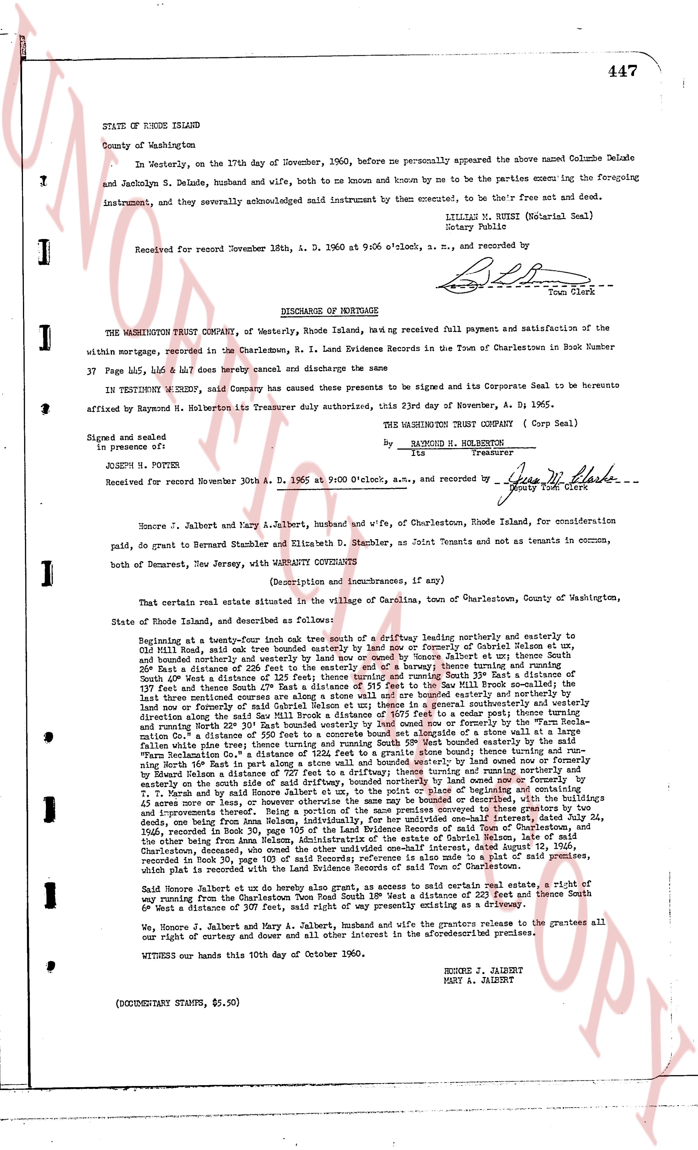
447
STATE of RHODE ISLAND
County of Washington
In Westerly, on the 17th day of November, 1960, before me personally appeared the above named Columbe Delude and Jackolyn S. Delude, husband and wife, both to me known and known by me to be the parties executing the foregoing instrument, and they severally acknowledged said instrument by them executed, to be their free act and deed.
LILLIAN M. RUSEY (Notarial Seal)
Notary Public
Received for record November 18th, A. D. 1960 at 9:06 o'clock, a.m., and recorded by [?]
Town Clerk
----
DISCHARGE of MORTGAGE
THE WASHINGTON TRUST COMPANY, of Westerly, Rhode Island, having received full payment and satisfaction of the within mortgage, recorded in the Charlestown, R. I. Land Evidence Records in the Town of Charlestown in Book Number 37 Page 445, Lib & Fol does hereby cancel and discharge the same
IN TESTIMONY WHEREOF, said Company has caused these presents to be signed and its Corporate Seal to be hereunto affixed by Raymond M. Holbernston its Treasurer duly authorized, this 23rd day of November, A. D. 1965.
THE WASHINGTON TRUST COMPANY (Corp Seal)
By RAYMOND M. HOLBERNSTON
Treasurer
Signed and sealed
in presence of:
JOSEPH N. POTTER
Received for record November 30th A. D. 1965 at 9:00 o'clock, a.m., and recorded by [?] County Town Clerk
----
Honore J. Jalbert and Mary A. Jalbert, husband and wife of, Charlestown, Rhode Island, for consideration,
paid, do grant to Bernard Stanhope and Elizabeth D. Stanhope, as Joint Tenants and not as tenants in common,
both of Democrat, New Jersey, with WARRANTY CONVEYANCE
(Description and measurements, if any)
That certain real estate situate in the village of Caretina, town of Charlestown, County of Washington,
State of Rhode Island, and described as follows:
Beginning at a twenty-four foot long oak tree bounded east of a driveway leading northerly and easterly to
Old Mill Road, said oak tree bounded easterly by land now or formerly of Chabelin Belam ut et al,
and bounded westerly by land now or formerly of Honore Jalbert ut et al; thence running south 26°
26' East a distance of 236 feet to the easterly and by a traverse of 58 1/2 feet west turning and running
South 40° West a distance of 137 feet to the easterly and by a traverse of 200 feet South East turning and
137 feet and traverse South 27° East a distance of 515 feet to the Saw Mill Brook so accrued; the
137 feet and three mentioned courses are along a stone wall now or formerly used now or formerly by the "Farm Recla-
mation Co" now or formerly of Honore Jalbert ut et al; thence running in a general southwesterly and westerly
direction along the said Saw Mill Brook a distance of 315 feet to a cedar pole; thence running south 15°
West along the said "Farm Reclamation Co" a distance of 550 feet to a concrete bound set alongside a stone wall;
thence running South 26° East a distance of 122 feet to a concrete bound easterly by the said
"Farm Reclamation Co" a distance of 132 1/2 feet to a concrete stone bound; thence turning and run-
ning South 40° West in a line 137 feet to a concrete bound set by deed dated May 1st 1933 from
Raymond Belam a distance of 727 feet to a driveway; thence turning and running northerly and
easterly on the south side of said driveway a distance of 1150 feet by land now and formerly of
T. T. Marsh and by said Honore Jalbert ut et al, to the point of place or beginning and continuing as
further described in a deed dated May 1st 1933 and more or less described in the descriptions of the
improvements thereon. Being a portion of the same premises conveyed to these grantors by two
deeds one dated June 23rd 1933 from Chabelin Belam ut et al to Honore Jalbert ut et al and another dated
24, 1942, recorded in Book 30, page 105 of the Land Evidence Records of said Town of Charlestown, and
the other being from Belam Estate to Honore Jalbert ut et al by a deed dated August 12, 1946,
Charlestown, deceased, who owned the entire undivided one-half interest, dated August 12, 1946,
recorded in Book 34 page 115 of the Land Evidence Records of said Town of Charlestown,
which plat is recorded with the Land Evidence Records of said Town of Charlestown.
Said Honore J. Jalbert ut et al do hereby grant, as access to said certain real estate, a right of
way running from the Charlestown Turn Pike to the above described premises a distance of 120 feet thence South
West a distance of 107 feet and right of way presently existing as a driveway.
We, Honore J. Jalbert and Mary A. Jalbert, husband and wife the grantors release the grantees all
our right of curtage and dower and all other interest in the aforementioned premises.
WITNESS our hands this day 10th of October 1960.
HONORE J. JALBERT
MARY A. JALBERT
(DOCUMENTARY STAMPS, $5.50)
The page as recorded