The instrument's own words
page 1 · read by Gemma vision
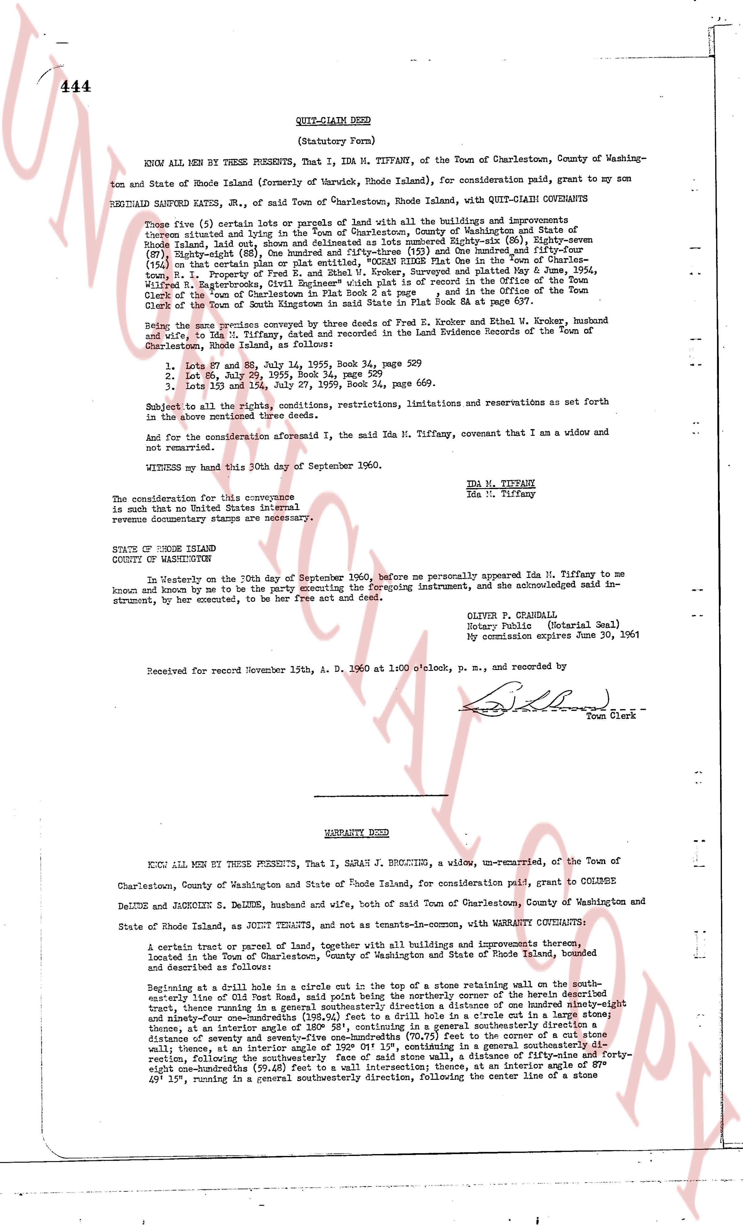
444
QUIT-CLAIM DEED
(Statutory Form)
KNOW ALL MEN BY THESE PRESENTS, That I, IDA M. TIFFANY, of the Town of Charlestown, County of Washing-
ton and State of Rhode Island (formerly of Warwick, Rhode Island), for consideration paid, grant to my son
REGINALD SANFORD KATES, JR., of said Town of Charlestown, Rhode Island, with QUIT-CLAIM COVENANTS
Those five (5) certain lots or parcels of land with all the buildings and improvements
thereon situated and lying in the Town of Charlestown, County of Washington and State of Rhode
Island, laid out, shown and delineated as lots number Eighty-six (86), Eighty-seven (87),
Eighty-eight (88), Ninety-one (91) and Ninety-two (92) and the combined Area of 1.13 acres
(154) on that certain plan or plat entitled "OCEAN RIDGE Plat in the Town of Charles-
town, R.I. Property of Ida M. Tiffany" approved and filed May 5, 1954,
Wildwood R. Enterprises, Clerk Registrar which is present in plat book "A" and the Official Map
Clerk of the "town of Charlestown" in plat book "A", page 1, and in the Office of the Town
Clerk of the Town of South Kingstown in said State in Plat Book &A page 637.
Being the same premises conveyed by three deeds from Fred E. Kroker and Ethel W. Kroker, husband
and wife, to Ida M. Tiffany, dated and recorded in the Land Evidence Records of the Town of
Charlestown, Rhode Island as follows:
1. Lot 86 and 87, December 14, 1935, Book 34, page 529
2. Lot 88, July 29, 1935, Book 34, page 529
3. Lots 91 and 92, and 1.13 acres, August 24, 1936, Book 34, page 669.
Subject to all the rights, conditions, restrictions, limitations and reservations as set forth
in the above mentioned three deeds.
And for the consideration aforesaid I, the said Ida M. Tiffany, covenant that I am a widow and
not remarried.
WITNESS my hand this 30th day of September 1960.
Ida M. Tiffany
Ida M. Tiffany
The consideration for this conveyance
is such that no United States internal
revenue documentary stamps are necessary.
STATE OF RHODE ISLAND
COUNTY OF WASHINGTON
In Westerly on the 30th day of September 1960, before me personally appeared Ida M. Tiffany to me
known and known by me to be the party executing the foregoing instrument, and she acknowledged said in-
strument, by her executed, to be her free act and deed.
OLIVER P. GRONDALI
Notary Public (Notarial Seal)
My commission expires June 30, 1961
Received for record November 15th, A. D. 1960 at 1:00 o'clock, p. m., and recorded by
[Signature] Town Clerk
----
WARRANTY DEED
KNOW ALL MEN BY THESE PRESENTS, That I, SARAH J. BECOUIE, a widow, un-remarried, of the Town of
Charlestown, County of Washington and State of Rhode Island, for consideration paid, grant to COLINBE
DELUDE and JACOQUINE S. DELUDE, husband and wife, both of said Town of Charlestown, County of Washington and
State of Rhode Island, as JOINT TENANTS, and not as tenants-in-common, with WARRANTY COVENANTS:
A certain tract or parcel of land, together with all buildings and improvements thereon,
located in the Town of Charlestown, County of Washington and State of Rhode Island, bounded
and described as follows:
Beginning at a Rhode cliff circle in one corner with the top of a stone retaining wall on the south-
easterly line of Old Post Road, said point being the northerly corner of the Parcel described
therein, thence running in a south easterly direction for a distance of one hundred ninety-three
and forty-two hundredths (193.42%) feet to a drill hole in a circle cut in a large stone; thence
down, at an interior angle of 120 degrees, in a general southwesterly direction, for a dis-
tance of seventy and seventy-five and one-hundredths (70.75) feet to the corner of a cut stone
wall, thence, at an interior angle of 120 degrees, in a general southeasterly direction, a dis-
tance, following the southwesterly face of said stone wall, a distance of fifty-nine and forty-
eight one-hundredths (59.48) feet to an intersection thence, at an interior angle of 120 deg-
40' 15", running in a general southwesterly direction, following the center line of a stone
The page as recorded