The instrument's own words
page 1 · read by Gemma vision
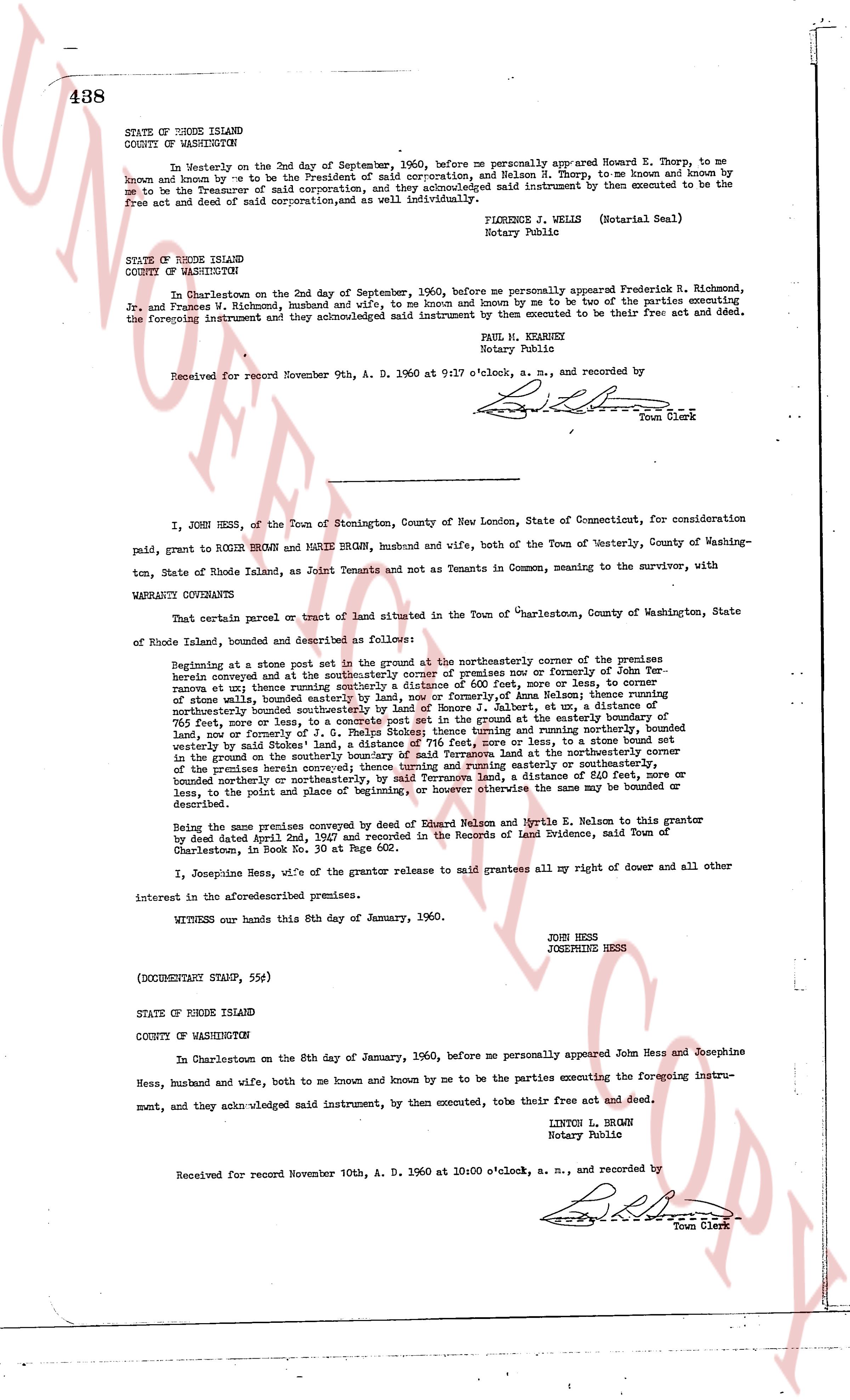
438
STATE OF RHODE ISLAND
COUNTY OF WASHINGTON
On Westerly on the 2nd day of September, 1960, before me personally appeared Howard E. Thorp, to me
known and known by me to be the President of said corporation, and Nelson N. Thorp, to me known and known by
me to be the Treasurer of said corporation, and they acknowledged said instrument by them executed to be the
free act and deed of said corporation, and as well individually.
FLORENCE J. WELLS (Notarial Seal)
Notary Public
STATE OF RHODE ISLAND
COUNTY OF WASHINGTON
In Charlestown on the 2nd day of September, 1960, before me personally appeared Frederick R. Richmond,
Jr. and Frances L. Richmond, husband and wife, to me known and known by me to be two of the parties executing
the foregoing instrument and they acknowledged said instrument by them executed to be their free act and deed.
PAUL H. KEANEY
Notary Public
Received for record November 9th, A. D. 1960 at 9:17 o'clock, a. m., and recorded by
[Signature]
Town Clerk
I, JOHN HESS, of the Town of Stonington, County of New London, State of Connecticut, for consideration
paid, grant to ROGER BROWN and MARIE BROWN, husband and wife, both of the Town of Westerly, County of Washing-
ton, State of Rhode Island, as Joint Tenants and not as Tenants in Common, meaning to the survivor, with
WARRANTY COVENANTS
That certain parcel or tract of land situated in the Town of "Westerly", County of Washington, State
of Rhode Island, bounded and described as follows:
Beginning at a stone post set in the ground at the northeasterly corner of the premises
herein conveyed and at the southeasterly corner of the premises now or formerly of John For-
ster, running a line thence southeasterly a distance of 600 feet, more or less, to corner
of stone walls, bounded easterly by land, now or formerly of Alan Selman; thence running
northeasterly bounded east by land, now or formerly of Albert, at a distance of 550 feet,
765 feet, more or less, to a concrete post set in the ground at the easterly boundary of
land, now or formerly of J. R. Brown; thence running southwesterly and running northeasterly
westerly by said Stokes' land, a distance of 376 feet, more or less, to a stone bound set
in the ground on the northerly boundary of said Stokes' land at the northeasterly corner
of the premises herein conveyed; thence turning easterly or running easterly or southeasterly,
bounded northerly or northeasterly, by said Stokes' land, a distance of 610 feet, more or
less, to the point of beginning, or however otherwise the same may be bounded or
described.
Being the same premises conveyed by deed of Edward Nelson and Myrtle E. Nelson to this grantor
by deed dated April 2nd, 1947 and recorded in the Records of Land Evidence, said Town of
Charlestown, in Book No. 30 at Page 602.
I, Josephine Hess, wife of the grantor release to said grantees all my right of dower and all other
interest in the aforesaid premises.
WITNESS our hands this 8th day of January, 1960.
JOHN HESS
JOSEPHINE HESS
(DOCUMENTARY STAMP, 55¢)
STATE OF RHODE ISLAND
COUNTY OF WASHINGTON
In Charlestown on the 8th day of January, 1960, before me personally appeared John Hess and Josephine
Hess, husband and wife, both to me known and known by me to be the parties executing the foregoing instru-
ment, and they acknowledged said instrument, by them executed, to be their free act and deed.
LINTON L. BROWN
Notary Public
Received for record November 10th, A. D. 1960 at 10:00 o'clock, a. m., and recorded by
[Signature]
Town Clerk
The page as recorded