The instrument's own words
page 1 · read by Gemma vision
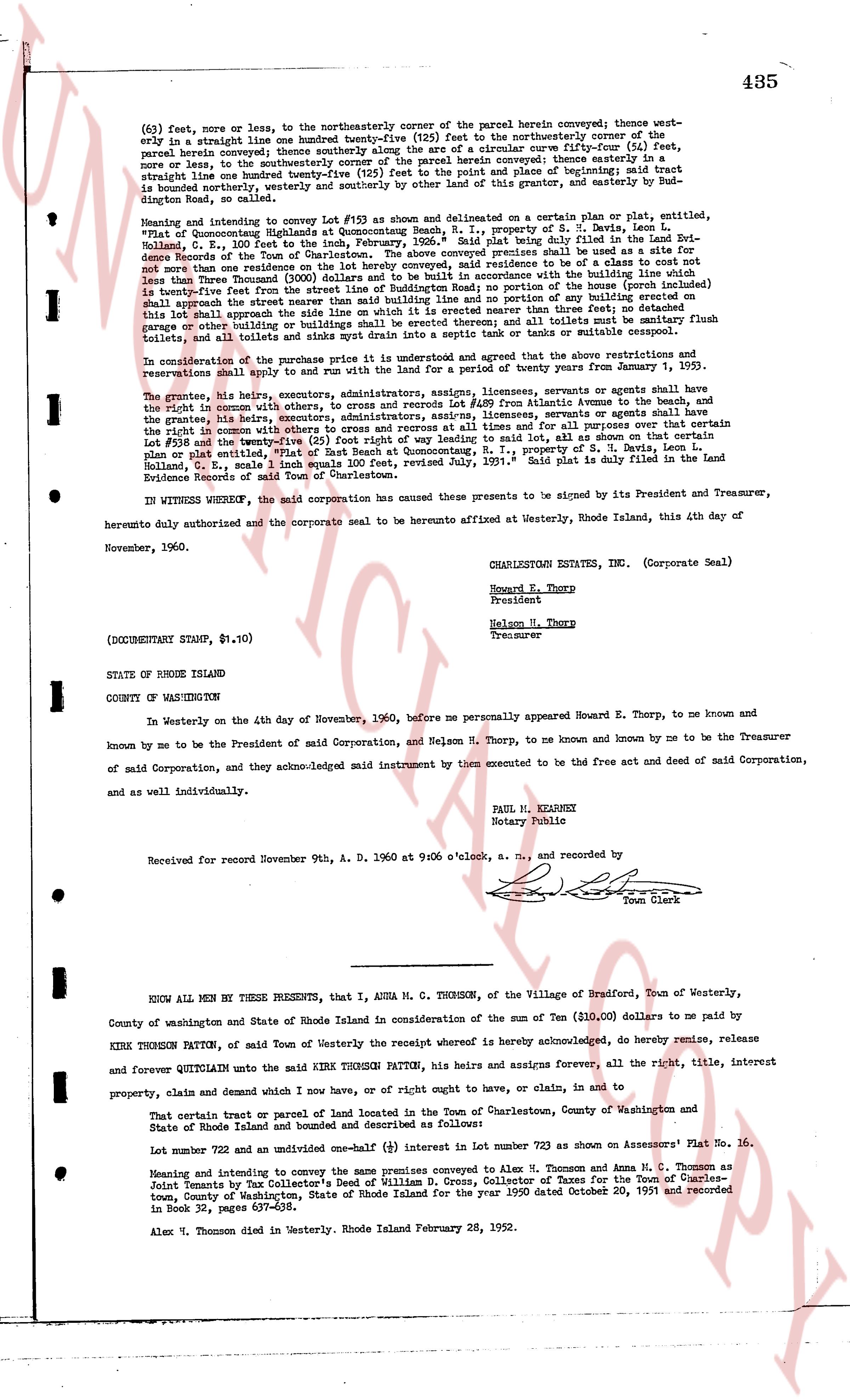
(63) feet, more or less, to the northeasterly corner of the parcel herein conveyed; thence westerly
approximately a straight line one hundred twenty-five (125) feet to the northwesterly corner of the
parcel herein conveyed; thence southerly along the arc of a circular curve fifty-four (54) feet,
more or less, to the southwesterly corner of the parcel herein conveyed; thence easterly a straight
line one hundred twenty-five (125) feet to the point of beginning; said tract of land is
bounded northerly, westerly and southerly by other land of this grantor, and easterly by Bud-
dington street, as one hundred feet wide.
Meaning and intending to convey Lot #103 as shown and delineated on a clan plat or plat, entitled,
"Plat of Quonsetpoint Highlands at Quonsetpoint, R.I., Property of S. Z. Nevis, L. Leon
Ballard, et al.," said plat being duly filed in the Land Evidence Books of the Land Evi-
dence Records of the Town of Charlestown. The above conveyed premises shall be used as a site for
and for the construction of one single family dwelling for a residence in the air by a client that is
less than Three Thousand (3000) dollars and to be built in accordance with the building line as is
Twenty-five (25) feet from the center of Buddington street and that no portion of the home (building) on
this lot shall encroach the street nearer than said building line and no portion of any building erected on
this lot shall encroach the street nearer than said building line and that there shall not be erected on
this lot any other building or buildings shall be erected thereon; all and all lotteries must be sanitary
toilets, and all toilets and sinks may drain into a septic tank and cesspool or similar system.
In consideration of the purchase price paid, it is further agreed that the above restrictions and
reservations shall be subject to and shall run with the land for a period of twenty years from January 1,
1960.
The grantor, her heirs, executors, administrators, assigns, licensees, servants or agents shall have
the right in common with others, to cross and recross Lot #89 from Buddington Avenue to the north
boundary of the grantor, the right in common with others, to cross and recross Lot #89, servants or agents shall have
the right in common with others to cross and recross at all times and for all purposes over that lot
boundary and the easement described above and the right in common to Lot #103 as shown on the
plan or plat entitled, "Plat of East Beach at Quonsetpoint, R.I., Property of S. Z. Nevis, L. Leon
Ballard, et al.," said plat being duly filed in the Land Evidence Books of the Land Evi-
dence Records of said Town of Charlestown.
IN WITNESS WHEREOF, the said corporation has caused these presents to be signed by its President and Treasurer,
hereto duly authorized and the corporate seal to be herunto affixed at Westerly, Rhode Island, this 4th day of
November, 1960.
CHARLESTOWN ESTATES, INC. (Corporate Seal)
Howard E. Thorp
President
Nelson M. Thorp
Treasurer
(DOCUMENTARY STAMP, $1.10)
STATE OF RHODE ISLAND
COUNTY OF WASHINGTON
In Westerly on the 4th day of November, 1960, before me personally appeared Howard E. Thorp, to me known and
known by me to be the President of said Corporation, and Nelson M. Thorp, to me known and known by me to be the Treasurer
of said Corporation, and they acknowledged said instrument by them executed to be the free act and deed of said Corporation,
and as well individually.
PAUL M. KEARNEY
Notary Public
Received for record November 9th, A. D. 1960 at 9:06 o'clock, a. m., and recorded by
[Signature]
Town Clerk
----
KNOW ALL MEN BY THESE PRESENTS, that I, ANNA M. C. THOMSON, of the Village of Bradford, Town of Westerly,
County of Washington and State of Rhode Island in consideration of the sum of Ten ($10.00) dollars to me paid by
KIRK PATTON THOMSON, of said Town of Westerly the receipt whereof is hereby acknowledged, do hereby remise, release
and forever quitclaim unto the said KIRK PATTON PATTON, his heirs and assigns forever all, the all right, title, interest
property, claim and demand which I now have, or of right ought to have, or can claim, in and to
That certain tract or parcel of land located in the Town of Charlestown, County of Washington and
State of Rhode Island and bounded and described as follows:
Lot number 722 and an undivided one-half (1/2) interest in Lot number 723 as shown on Assessors' Plat No. 16.
Meaning and intending to convey the same premises conveyed to Alex M. Thomson and Anna M. C. Thomson as
Joint Tenants by Tax Collector's Deed of William D. Cross, Collector of Taxes for the Town of Charles-
town, County of Washington, State of Rhode Island for the year 1920 dated October 25, 1921 and recorded
in Book 32, pages 637-638.
Alex M. Thomson died in Westerly, Rhode Island February 28, 1952.
page 2 · read by Gemma vision
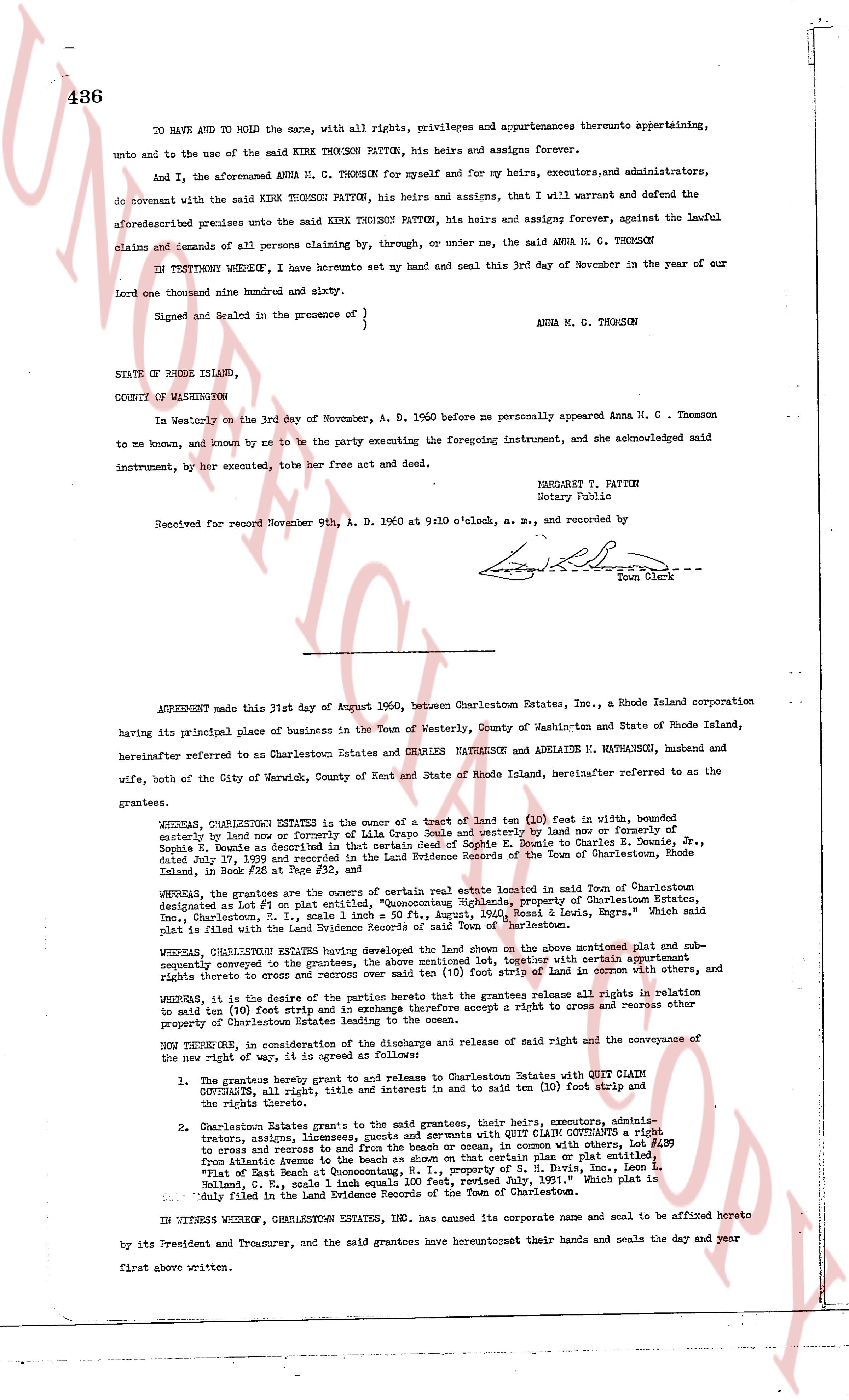
436
TO HAVE AND TO HOLD the same, with all rights, privileges and appurtenances thereunto appertaining, unto and to the use of the said KIRK THOMSON PATTON, his heirs and assigns forever.
And I, the aforementioned ANNA M. C. THOMSON for myself and for my heirs, executors, and administrators, do covenant with the said KIRK THOMSON PATTON, his heirs and assigns, that I will warrant and defend the aforementioned premises unto the said KIRK THOMSON PATTON, his heirs and assigns forever, against the lawful claims and demands of all persons claiming by, through, or under me, the said ANNA M. C. THOMSON
IN TESTIMONY WHEREOF, I have hereunto set my hand and seal this 3rd day of November in the year of our Lord one thousand nine hundred and sixty.
Signed and Sealed in the presence of } ANNA M. G. THOMSON
STATE OF RHODE ISLAND,
COUNTY OF WASHINGTON
In Westerly on the 3rd day of November, A. D. 1960 before me personally appeared Anna M. C. Thomson to me known, and known by me to be the party executing the foregoing instrument, and she acknowledged said instrument, by her execute, tobe her free act and deed.
MARGARET P. PATTON
Notary Public
Received for record November 9th, A. D. 1960 at 9:10 o'clock, a. m., and recorded by
[Signature]
Town Clerk
----
AGREEMENT made this 31st day of August 1960, between Charlestown Estates, Inc., a Rhode Island corporation having its principal place of business in the Town of Westerly, County of Washington and State of Rhode Island, hereinafter referred to as Charlestown Estates and HAROLD MATHUSON and ADELAIDE M. MATHUSON, husband and wife, both of the City of Warwick, County of Kent and State of Rhode Island, hereinafter referred to as the grantees.
WHEREAS, CHARLESTOWN ESTATES is the owner of a tract of land ten (10) feet in width, bounded southerly by land now or formerly of Ella Crane scale [?] westerly by land now or formerly of Severin S. Doyle, a dealer in hardware and paints, and northerly by land of Severin S. Doyle & Charles S. Doyle, Jr. dated July 17, 1929 and recorded in the Land Evidence Records of the Town of Charlestown, Rhode Island, in Book #28 at Page #32, and
WHEREAS, the grantees are the owners of certain real estate located in said Town of Charlestown, designated as Lot #1 in plat #1, "Augustus", "Quonochontaug Highlands, property of Charlestown Estates, Inc., Charlestown, R. I., scale 1 inch equals 100', "Augustus", Map of Rhode Island, Engrs." Which said plat is filed in the Land Evidence Records of the Town of Charlestown.
WHEREAS, CHARLESTOWN ESTATES having developed the land shown on the above mentioned plat and sub-sequently conveyed to the grantees, the above mentioned lot, together with certain other lots, and rights thereto and cross it and common use of a strip of land in common with others, and rights thereto and cross it and common use of a strip of land in common with others, and
WHEREAS, it is the desire of the parties hereto that the grantees have absolute all rights in relation to said ten (10) foot strip and in exchange therefore accept a right to cross and recross a contrary property of Charlestown Estates, as the owners.
NOW THEREFORE, in consideration of the above descriptions and a release of said right and the conveyance of the now right of way, it is agreed as follows:
1. The grantees hereby grant and release to and Relinquish to Charlestown Estates with QUIT CLAIM CONVEYANCE, all right, title and interest in and to said ten (10) foot strip and the rights thereto.
2. Charlestown Estates grants to the grantees, their heirs, devisees, heirs, executors, administrators, trustees, assigns, licensees, invitees and occupants with QUIT CLAIM CONVEYANCE a right to cross and recross a way from and to the beach on that shore with certain others, Lot #189 from Atlantic Avenue to the beach on that shore with certain others, Lot #189 in plat #1, "Augustus" part of land Beach at Quonochontaug property of S. H. Davis, Inc., Loco L. Holland, C. E., scale 1 inch equals 100 feet, revised July, 1931." which plat is filed in the Land Evidence Records of the Town of Charlestown.
IN WITNESS WHEREOF, CHARLESTOWN ESTATES, INC., has caused its corporate name and seal to be affixed hereto by its President and Treasurer, and the said grantees have executed their hands and seals the day and year first above written.
The page as recorded