The instrument's own words
page 1 · read by Gemma vision
410
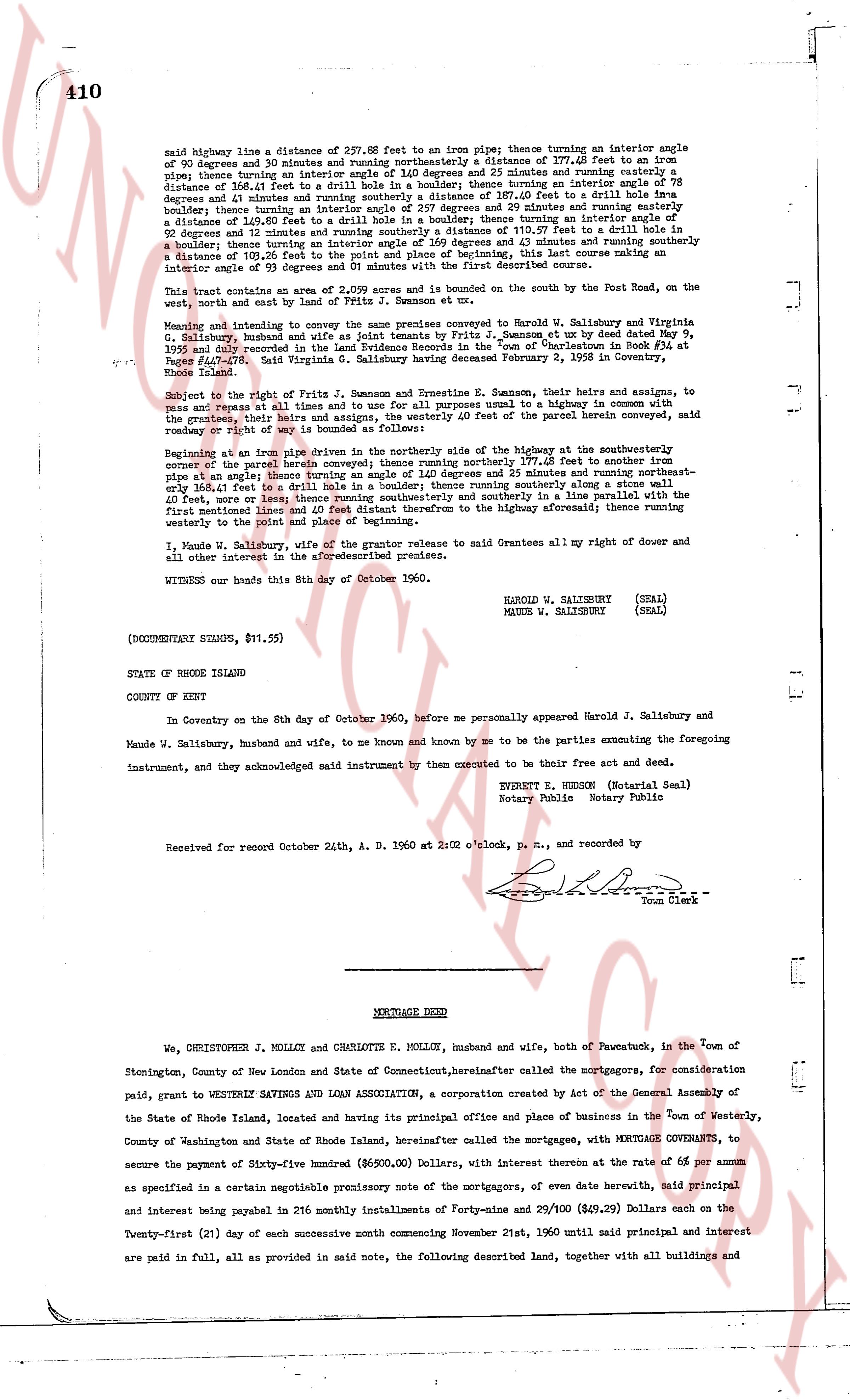
said highway line a distance of 237.88 feet to an iron pipe thence turning an interior angle of 90 degrees and 39 minutes and running northeasterly a distance of 377.68 feet to an iron pipe thence turning an interior angle of 120 degrees and 23 minutes and running easterly a distance of 166.41 feet to a drill hole in a boundary wall thence turning an interior angle of 78 degrees and 31 minutes and running southeasterly a distance of 397.40 feet to a drill hole in a boundary wall thence turning an interior angle of 257 degrees and 29 minutes and running easterly a distance of 148.78 feet to an iron pipe thence turning an interior angle of 111 degrees and 52 minutes and turning a distance of 103.57 feet to a drill hole in a boundary wall thence turning an interior angle of 111 degrees and 11 minutes and running southwesterly a distance of 103.26 feet to the point and place of beginning, this last course making an interior angle of 93 degrees and 39 minutes with the first described course.
This said parcel consists of .202 acres and is bounded on the south by the Post Road, on the west, north and east by land of Fritz P. Jamieson et ux.
Meaning and intent to convey the same premises conveyed to Harold J. Salisbury and Maude W. Salisbury, husband and wife, by Fritz P. Jamieson et ux, by deed dated May 9, 1955 and recorded in the Land Evidence Records in the "Town of Charlestown Book RL 42 Page 407-408" said Virginia G. Salisbury having deceased February 2, 1958 in Coventry, Rhode Island.
Subject to the right of Fritz P. Jamieson and Ernestine R. Jamieson, their heirs and assigns, to pass and repass at all times and to use for purposes all usual and customary highways in common with the grantors, their heirs and assigns, and the owners of the above described land, over the said road way or right of way is bounded as follows:
Beginning at an iron pipe driven in the northerly side of the highway at the southeasterly corner of the parcel herein described and running northerly 177.68 feet to another iron pipe at an angle; thence running an angle of 1.40 degrees and 25 minutes and running northeasterly one half foot to a drill hole in a boundary wall; thence running southeasterly along a stone wall 148.40 feet, more or less thence running southeasterly and in a solute line parallel with the first mentioned line and distance 177.68 feet therefrom to the highway aforesaid; thence running westerly to the point and place of beginning.
I, Maude W. Salisbury, wife of the grantor release to said Grantee all my right of dower and all other interest in the aforesaid premises.
WITNESS our hands this 8th day of October 1960.
HAROLD W. SALISBURY (SEAL)
MAUDE W. SALISBURY (SEAL)
(DOCUMENTARY STAMPS, $11.55)
STATE OF RHODE ISLAND
COUNTY OF KENT
In Coventry on the 8th day of October 1960, before me personally appeared Harold J. Salisbury and Maude W. Salisbury, husband and wife, to me known and known by me to be the parties executing the foregoing instrument, and they acknowledged said instrument by them executed to be their free act and deed.
EDWARD E. HERSON (Notarial Seal)
Notary Public Notary Public
Received for record October 24th, A. D. 1960 at 2:02 o'clock, p. m., and recorded by
[Signature]
Town Clerk
----
MORTGAGE DEED
We, CHRISTOPHER J. MOLLOY and CHARLOTTE E. MOLLOY, husband and wife, both of Nawcutuck, in the town of Stonington, County of New London and State of Connecticut, hereinafter called the mortgagors, for consideration paid, grant to WESTERLY SAVINGS AND LOAN ASSOCIATION, a corporation created by Act of the General Assembly of the State of Rhode Island, located and having its principal office and place of business in the town of Westerly, County of Washington and State of Rhode Island, hereinafter called the mortgagees, with MORTGAGE COVENANTS, to secure the payment of Sixty-five hundred dollars ($6,500.00) Dollars, with interest thereon at the rate of 6% per annum as specified in a certain negotiable promissory note of the mortgagors, of even date herewith, said principal and interest being payable in 216 monthly installments of Forty-nine & 29/100 ($49.29) Dollars each on the Twenty-first (21) day of each successive month commencing November 21st, 1960 until said principal and interest are paid in full, as provided in said note, the following described land, together with all buildings and
page 2 · read by Gemma vision
411
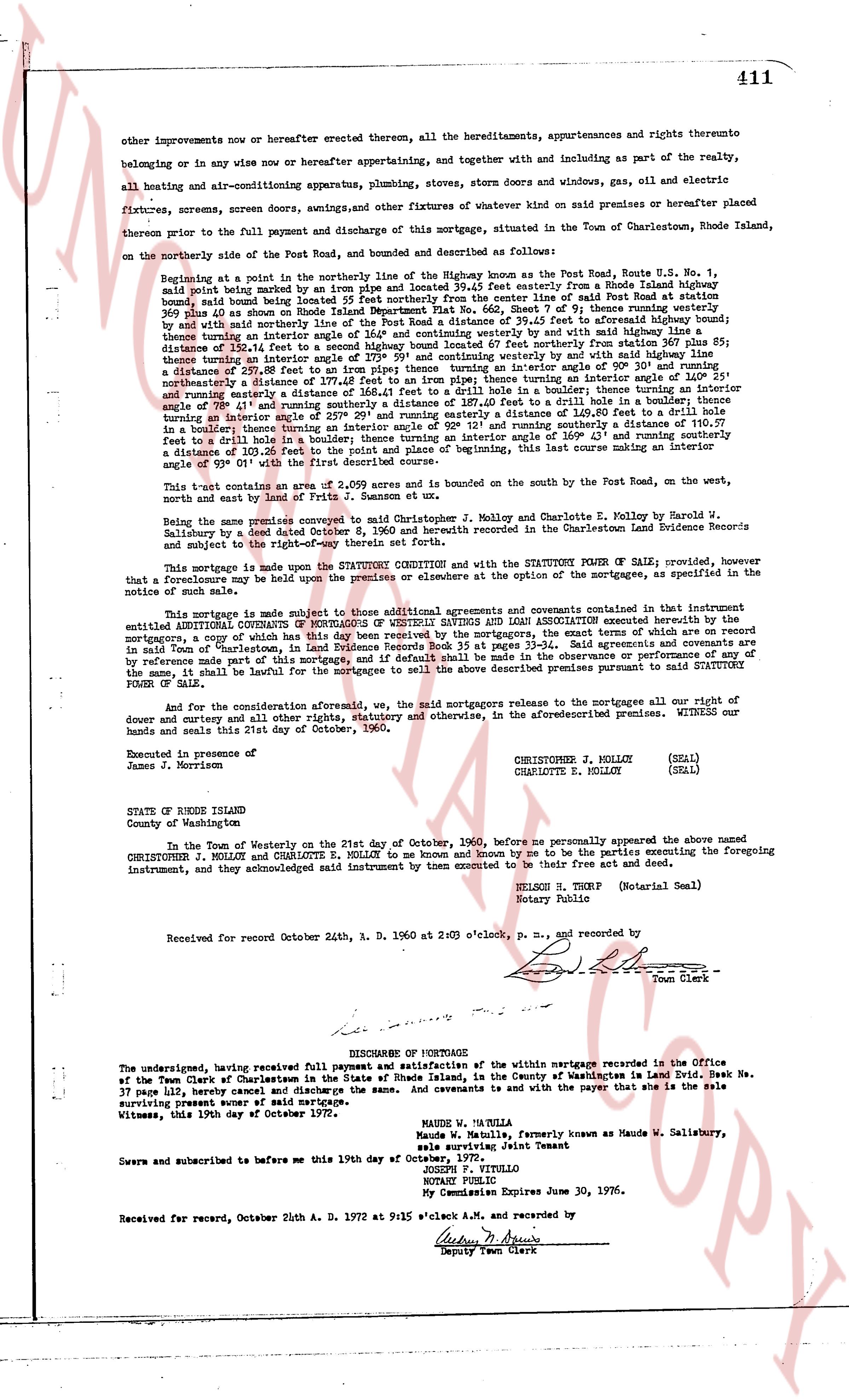
other improvements now or hereafter erected thereon, all the hereditaments, appurtenances and rights thereunto
belonging or in any wise now or hereafter appertaining, and together with doors and windows and including as part of the realty,
all heating and air-conditioning apparatus, plumbing, stoves, dorms without and windows, gas, oil and electric
fixtures, screens, screen doors, awnings, shutters and other fixtures of whatever kind on said premises or hereafter placed
thereon prior to the full payment and discharge of this mortgage, situated in the Town of Charlestown, Rhode Island,
on the northerly side of the Post Road, and bounded and described as follows:
Beginning at a point in the northerly line of the highway known as the Post Road, Route U.S. No. 1,
said point being marked by a stone bound situated easterly from a Rhode Island highway
bound, said bound being located 55 feet northerly from the center line of said Post Road at station 263
plus 00, and thence along said northerly line of the highway north 87 deg 57 min east 79 feet to another stone
bound, said bound being located 100 feet northerly from the center line of said Post Road at station 263
plus 00, and with said northerly line of the Post Road a distance of 39.45 feet to separate affixed highway bound;
thence along the northerly line of the highway north 87 deg 57 min east 120 feet to another highway bound;
thence by a distance of 120.12 feet to a second highway bound located 67 feet northerly from station 367 plus 00;
thence along the northerly line of the highway north 87 deg 57 min east by a distance of 120 feet to another
distance of 237.88 feet to an iron pipe forming then a westerly corner in interior angle 90 deg 30 min and turning
northerly a distance of 319.37 feet to another iron pipe forming then a westerly corner by and with said line an
interior angle of 89 deg 31 min and turning easterly a distance of 104.41 feet to a drill hole in boulder thence turning an
interior angle of 89 deg 41 min and continuing easterly a distance of 39.11 feet to another drill hole in a boulder thence turning an
interior angle of 89 deg 41 min and continuing easterly a distance of 120.49 feet, 80.49 feet to a drill hole
turning an interior angle of 92 deg 12 min and turning northerly a distance of 120.49 feet to a drill hole
turning a interior angle of 89 deg 12 min and continuing northerly a distance of 163 49 feet and continuing northerly a
distance of 103.26 feet to the point of place and beginning, this last course making an interior
angle of 89 deg 41 min with the first course.
This tract contains an area of 2.059 acres and is bounded on the south by the Post Road, on the west,
north and east by lands of Fr. J. Gannon and et ux.
Being the same premises conveyed to said Christopher J. Molloy and Charlotte E. Molloy by Harold V. Salisbury,
by a deed dated October 14, 1936 and recorded in the Charlestown Land Evidence Books Record
subject to the mortgage and right-of-way therein set forth.
This mortgage is made upon the condition that the MORTGAGORS with and the STATUTORY POWER OF SALE is granted, provided, however that no foreclosure may be held upon the premises or elsewhere at the option of the mortgagee, as specified in the
notice of such sale.
This mortgage is subject to all those additions, alterations and covenants contained in that instrument
entitled ADDITIONAL COURTS OF MORTGAGE executed by WESTERLY SAVINGS AND LOAN ASSOCIATION executed with the
borrowers copy of which has this date been received by the mortgagors, the exact terms of which are on record
in said Town of Charlestown, in Land Evidence book 37, page 410. Said agreement is incorporated herein by
reference made part of the premises of this mortgage and if default shall be made in the observance or performance of any
of the same, it shall be lawful for the mortgagee to sell the above described premises pursuant to said STATUTORY
POWER OF SALE.
And for the consideration aforesaid, we, the said mortgagors release to the mortgagees all our right of
dower and curtesy and all other rights, statutory and otherwise, in the aforementioned premises. WITNESS our
hands and seals this 21st day of October, 1960.
Executed in presence of
James J. Morrison
CHRISTOPHER J. MOLLOY (SEAL)
CHARLOTTE E. MOLLOY (SEAL)
STATE OF RHODE ISLAND
County of Washington
In the Town of Westerly on the 21st day of October, 1960, before me personally appeared the above named
CHRISTOPHER J. MOLLOY and CHARLOTTE E. MOLLOY to me known and known by me to be the parties executing the foregoing
instrument, and they acknowledged said instrument by then executed instrument to be their free and voluntary act.
NELSON S. THORP (Notarial Seal)
Notary Public
Received for record October 24th, R. D. 1960 at 2:00 o'clock, P. M. and recorded by
[Signature]
Town Clerk
----
DISCHARGE OF MORTGAGE
The undersigned, having received full payment and satisfaction of the within mortgage recorded in the Office
of the Town Clerk of Charlestown in the State of Rhode Island, in the County of Washingtons in Land Evid Book 37,
page 410 here by release the property and discharge the same. And covenants is with the payer that she is the sole
surviving owner since record of said mortgage.
Witness, this 19th day of October 1972.
MAUREEN A. SALISBURY
Maureen A. Salisbury, formerly known as Maude W. Salisbury,
sole surviving Joint Tenant
Sworn and subscribed to before me this 19th day of October 1972.
JOSEPH F. VITTILO
NOTARY PUBLIC
My Commission Expires June 30, 1976.
Received for record, October 24th A. D. 1972 at 9:15 o'clock A.M. and recorded by
[Signature]
Deputy Town Clerk
The page as recorded