The instrument's own words
page 1 · read by Gemma vision
899
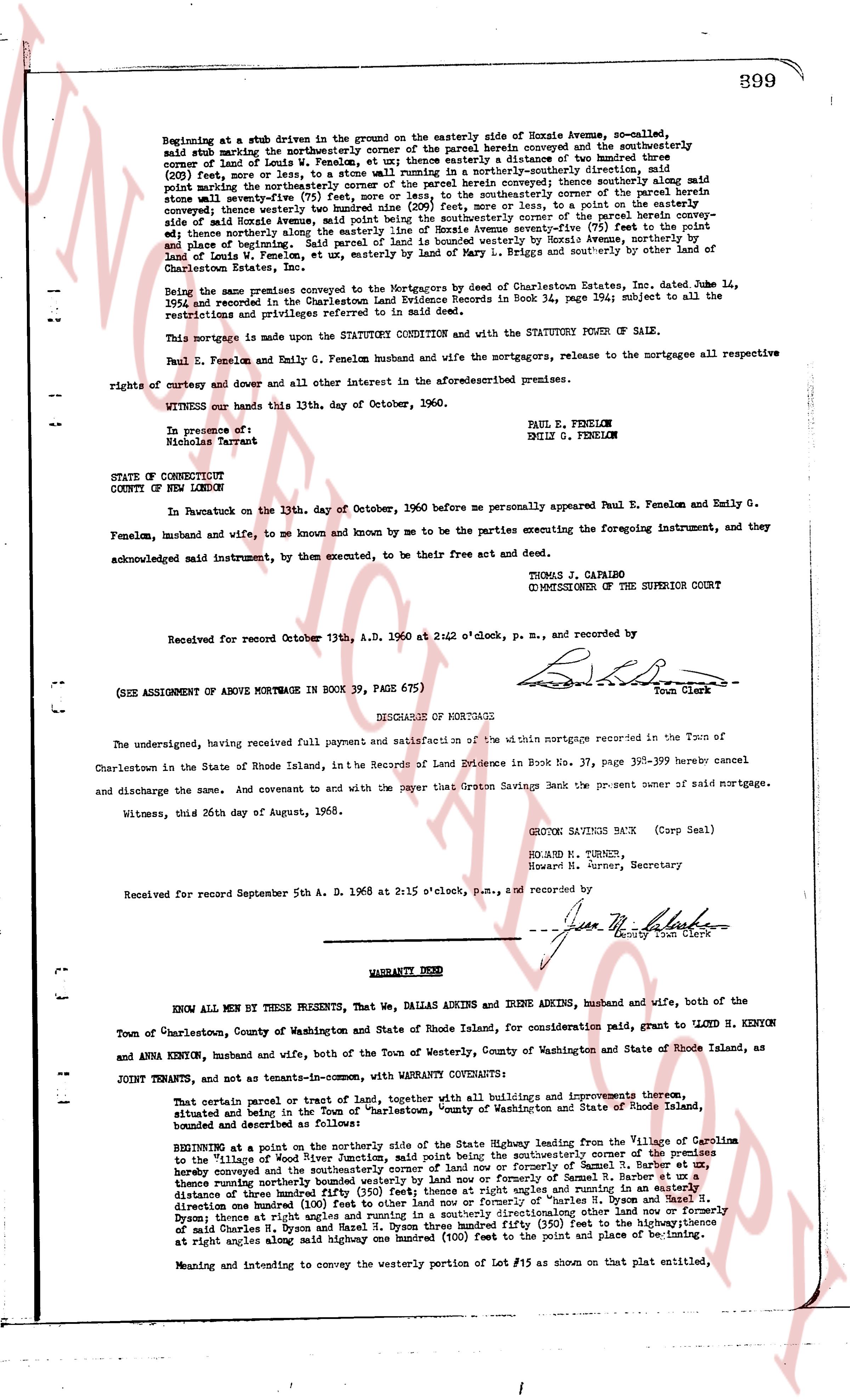
Beginning at a stub driveway in the ground on the easterly side of Horace Avenue, so-called,
said stub driveway marking the northeasterly corner of the parcel herein conveyed and the southeasterly
corner of Land of Eunice P. Fenelon, as shown on a plat in distance of one hundred (100) feet,
(200) feet more or less, to a stone wall running in a northerly-southerly direction, said
stone wall marking the northeasterly corner of the parcel herein conveyed; thence southerly along said
stone wall a distance of two hundred (200) feet more or less, to the southeasterly corner of the parcel herein
conveyed; thence westerly three hundred ninety (390) feet more or less, to a point on the westerly con-
veyed; thence westerly along the easterly line of Horace Avenue seventy-five (75) feet to the point and
place of beginning; the rest and remainder of the parcel conveyed by Horace Avenue, Land of Eunice P.
Land of Louis W. Fenelon, et ux, easterly by Land of Mary L. Briggs and southerly by other land of
Charleston Estate, Inc.
Being the same premises conveyed as Mortgagors by the Deed of Charleston Estates, Inc. dated June 14,
1954 and recorded in the Charlestown Land Evidence Records in Book 34, page 194; subject to all the
restrictions and privileges referred to in said deed.
This mortgage is made upon the STATUTORY CONDITION and with the STATUTORY POWER OF SALE.
Paul E. Fenelon and Emily G. Fenelon husband and wife the mortgagors, release to the mortgagee all respective
rights of entry and dower and all other interest in the aforesaid premises.
WITNESS our hands this 13th, day of October, 1960.
Paul E. Fenelon
Emily G. Fenelon
In presence of:
Nicholson Tarver
STATE OF CONNECTICUT
COUNTY OF NEW LONDON
In Pawcatuck on the 13th, day of October, 1960 before me personally appeared Paul E. Fenelon and Emily G.
Fenelon, husband and wife, to me so known and mine by me to be the parties executing the foregoing instrument, and they
acknowledged said instrument, by them executed, to be their free act and deed.
THOMAS J. CAPAIRO
COMMISSIONER OF THE SUPERIOR COURT
Received for record October 13th, A.D. 1960 at 2:42 o'clock, p.m., and recorded by
[Signature]
Town Clerk
(SEE ASSIGNMENT OF ABOVE MORTGAGE IN BOOK 39, PAGE 675)
----
DISCHARGE OF MORTGAGE
The undersigned, having received full payment and satisfaction of the within mortgage recorded in the Town of
Charlestown in the State of Rhode Island, in the Records of Land Evidence in Book 37, page 399-399 hereby cancel
and discharge the same. And covenant to and with the payer that Groton Savings Bank is the present owner of said mortgage.
Witness, this 26th day of August, 1968.
GROTON SAVINGS BANK (Corp Seal)
RICHARD H. TURNER,
Howard H. Turner, Secretary
Received for record September 5th A. D. 1968 at 2:15 o'clock, p.m., and recorded by
[Signature]
County Town Clerk
----
WARRANTY DEED
KNOW ALL MEN BY THESE PRESENTS, That We, DALLAS ADKINS and IRENE ADKINS, husband and wife, both of the
Town of Charlestown, County of Washington and State of Rhode Island, for consideration paid, grant to LLOYD H. KENYON
and ANNA KENYON, husband and wife, both of the Town of Westerly, County of Washington and State of Rhode Island, as
JOINT TENANTS, and not as tenants-in-common, with WARRANTY CONVEYANCE:
That certain parcel or tract of land, together with all buildings and improvements thereon, situate
and located in the Town of Charlestown, County of Washington and State of Rhode Island, bounded and
described as follows:
BEGINNING at a point on the northerly side of the public highway known as State Highway leading from the Village of Colleton
to the village of Wickford, Town of Charlestown, said point being the southeasterly corner of the premises
hereby conveyed and the southeasterly corner of land now or formerly of Samuel R. Barber et al,
thence running northerly along the easterly line of said Barber land a distance of one hundred (100) feet,
distance of three hundred fifty (350) feet thence at right angles and running in a easterly direction
one hundred (100) feet to other land now or formerly of Samuel R. Barber et al, thence running in a
direction one hundred (100) feet to other land now or formerly of Charles H. Dyson and Hazel N.
Dyson; thence at right angles and running northerly directionalong other land now or formerly of
said Charles H. Dyson and Hazel N. Dyson three hundred fifty (350) feet to the point of convergence
at right angles along said midway one hundred (100) feet to the point and place of beginning; its
Meaning and intending to convey the westerly portion of Lot #15 as shown on that plat entitled,
page 2 · read by Gemma vision
400
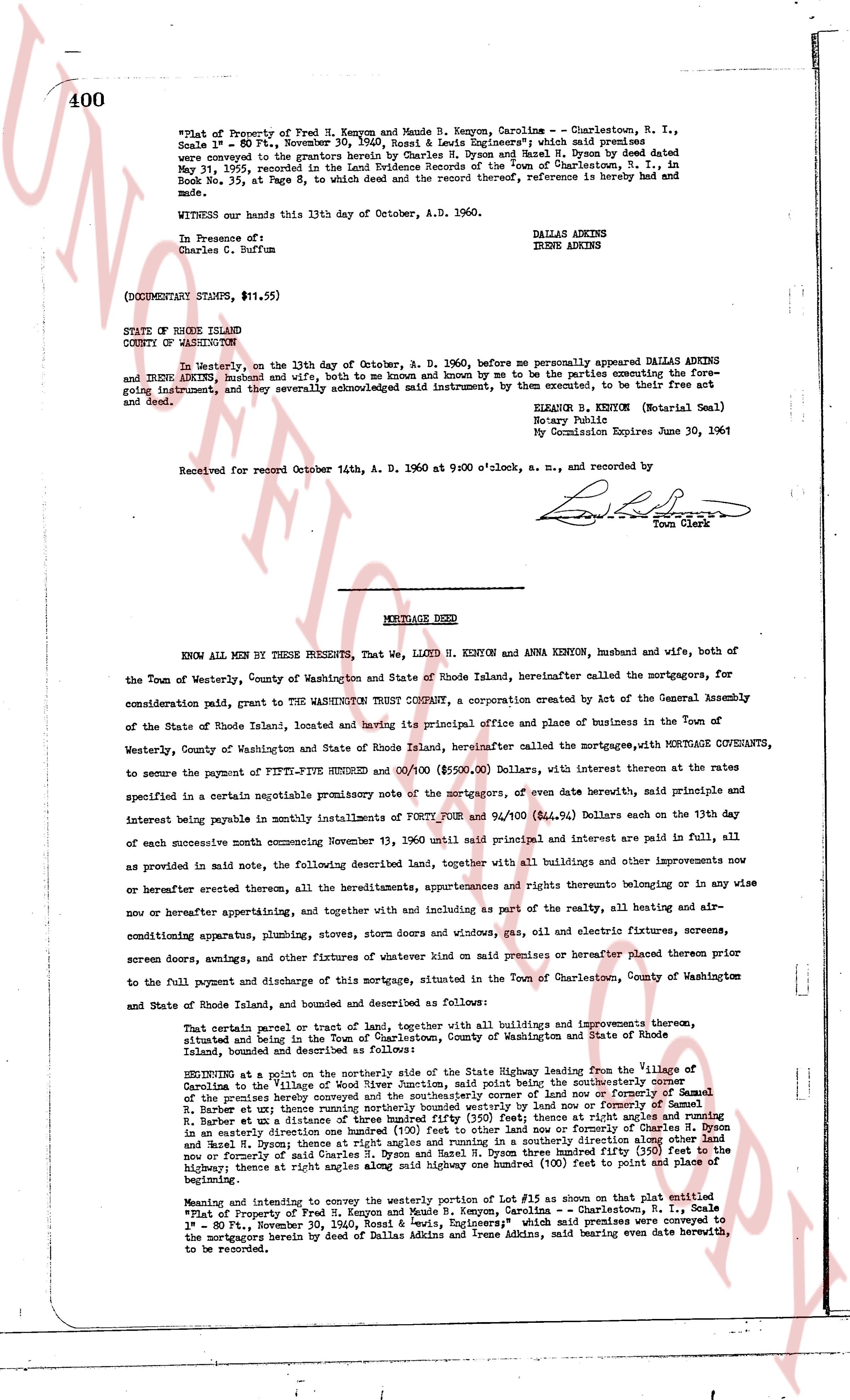
"Plat of Property of Fred H. Kenyon and Maude B. Kenyon, Carolina -- Charlestown, R. I., Scale 1" = 80 Ft., November 30, 1940, Snell & Lewis Engineers;" which said premises were conveyed to the grantors herein by Charles H. Owen and Hazel M. Owen by deed dated May 31, 1955, recorded in the Land Evidence Records of the Town of Charlestown, R. I., in Book No. 35, at Page 8, to which deed and the record thereof, reference is hereby made and shall inure.
WITNESS our hands this 13th day of October, A.D. 1960.
DALLAS ADKINS
IRENE ADKINS
In Presence of:
Charles C. Buffum
(DOCUMENTARY STAMPS, $11.55)
STATE OF RHODE ISLAND
COUNTY OF WASHINGTON
In Westerly, on the 13th day of October, A. D. 1960, before me personally appeared DALLAS ADKINS and IRENE ADKINS husband and wife, both to me known and by me to be the parties executing the foregoing instrument, and they severally acknowledged said instrument, by them executed, to be their free act and deed.
ELEANOR B. KENYON (Notarial Seal)
Notary Public
My Commission Expires June 30, 1961
Received for record October 14th, A. D. 1960 at 9:00 o'clock, a. m., and recorded by [signature]
Town Clerk
----
MORTGAGE DEED
KNOW ALL MEN BY THESE PRESENTS, That We, LLOYD H. KENYON and ANNA KENYON, husband and wife, both of the Town of Westerly, County of Washington and State of Rhode Island, hereinafter called the mortgagors, for consideration paid, grant to THE WASHINGTON TRUST COMPANY, a corporation created by Act of the General Assembly of the State of Rhode Island, located and having its principal office and place of business in the Town of Westerly, County of Washington and State of Rhode Island, hereinafter called the mortgagee, WITH MORTGAGE COVENANTS, to secure the payment of FIFTY-FIVE THOUSAND SHUNDRED AND 00/100 ($55,000.00) Dollars, with interest at the rates specified in a certain negotiable promissory note of the mortgagors, of even date herewith, said principal and interest being payable in monthly installments of FORTY FOUR and 94/100 ($44.94) Dollars each on the 13th day of each successive month commencing November 13, 1960 until said principal and interest are paid in full, all as provided in note, the following described land, together with all buildings and other improvements now and or hereafter erected thereon, all the tenements, appurtenances and rights thereto belonging or annexed to in any now or hereafter appertaining, and together with and including as part of the realty, all heating and air-conditioning apparatus, plumbing, stoves, storm doors and windows, gas, oil and electric fixtures, screens, screen doors, awnings, and other fixtures of whatever kind now on said premises or thereafter placed thereon prior to the full payment and discharge of this mortgage, situated in the Town of Charlestown, County of Washington and State of Rhode Island, bounded and described as follows:
That certain parcel or tract of land, together with all buildings and improvements thereon, situated and lying in the Town of Charlestown, County of Washington and State of Rhode Island, bounded and described as follows:
BEGINNING at a point on the northerly side of the State Highway leading from the Village of Carolina in the Village of Charlestown, said point being the southeasterly corner of the premises hereby conveyed and the southeasterly point of low flow or formerly of Samuel H. Barber, at that point running westerly along the boundary line of land of former Samuel H. Barber, in a easterly direction to the point of low flow or formerly of Samuel H. Barber, in a easterly direction to the point of low flow or formerly of Samuel H. Barber, in a easterly direction to the point of low flow or formerly of Samuel H. Barber, in a easterly direction to the point of low flow or formerly of Samuel H. Barber, in a easterly direction to the point of low flow or formerly of Samuel H. Barber, in a easterly direction to the point of low flow or formerly of Samuel H. Barber, in a easterly direction to the point of low flow or formerly of Samuel H. Barber, in a easterly direction to the point of low flow or formerly of Samuel H. Barber, in a easterly direction to the point of low flow or formerly of Samuel H. Barber, in a easterly direction to the point of low flow or formerly of Samuel H. Barber, in a easterly direction to the point of low flow or formerly of Samuel H. Barber, in a easterly direction to the point of low flow or formerly of Samuel H. Barber, in a easterly direction to the point of low flow or formerly of Samuel H. Barber, in a easterly direction to the point of low flow or formerly of Samuel H. Barber, in a easterly direction to the point of low flow or formerly of Samuel H. Barber, in a easterly direction to the point of low flow or formerly of Samuel H. Barber, in a easterly direction to the point of low flow or formerly of Samuel H. Barber, in a easterly direction to the point of low flow or formerly of Samuel H. Barber, in a easterly direction to the point of low flow or formerly of Samuel H. Barber, in a easterly direction to the point of low flow or formerly of Samuel H. Barber, in a easterly direction to the point of low flow or formerly of Samuel H. Barber, in a easterly direction to the point of low flow or formerly of Samuel H. Barber, in a easterly direction to the point of low flow or formerly of Samuel H. Barber, in a easterly direction to the point of low flow or formerly of Samuel H. Barber, in a easterly direction to the point of low flow or formerly of Samuel H. Barber, in a easterly direction to the point of low flow or formerly of Samuel H. Barber, in a easterly direction to the point of low flow or formerly of Samuel H. Barber, in a easterly direction to the point of low flow or formerly of Samuel H. Barber, in a easterly direction to the point of low flow or formerly of Samuel H. Barber, in a easterly direction to the point of low flow or formerly of Samuel H. Barber, in a easterly direction to the point of low flow or formerly of Samuel H. Barber, in a easterly direction to the point of low flow or formerly of Samuel H. Barber, in a easterly direction to the point of low flow or formerly of Samuel H. Barber, in a easterly direction to the point of low flow or formerly of Samuel H. Barber, in a easterly direction to the point of low flow or formerly of Samuel H. Barber, in a easterly direction to the point of low flow or formerly of Samuel H. Barber, in a easterly direction to the point of low flow or formerly of Samuel H. Barber, in a easterly direction to the point of low flow or formerly of Samuel H. Barber, in a easterly direction to the point of low flow or formerly of Samuel H. Barber, in a easterly direction to the point of low flow or formerly of Samuel H. Barber, in a easterly direction to the point of low flow or formerly of Samuel H. Barber, in a easterly direction to the point of low flow or formerly of Samuel H. Barber, in a easterly direction to the point of low flow or formerly of Samuel H. Barber, in a easterly direction to the point of low flow or formerly of Samuel H. Barber, in a easterly direction to the point of low flow or formerly of Samuel H. Barber, in a easterly direction to the point of low flow or formerly of Samuel H. Barber, in a easterly direction to the point of low flow or formerly of Samuel H. Barber, in a easterly direction to the point of low flow or formerly of Samuel H. Barber, in a easterly direction to the point of low flow or formerly of Samuel H. Barber, in a easterly direction to the point of low flow or formerly of Samuel H. Barber, in a easterly direction to the point of low flow or formerly of Samuel H. Barber, in a easterly direction to the point of low flow or formerly of Samuel H. Barber, in a easterly direction to the point of low flow or formerly of Samuel H. Barber, in a easterly direction to the point of low flow or formerly of Samuel H. Barber, in a easterly direction to the point of low flow or formerly of Samuel H. Barber, in a easterly direction to the point of low flow or formerly of Samuel H. Barber, in a easterly direction to the point of low flow or formerly of Samuel H. Barber, in a easterly direction to the point of low flow or formerly of Samuel H. Barber, in a easterly direction to the point of low flow or formerly of Samuel H. Barber, in a easterly direction to the point of low flow or formerly of Samuel H. Barber, in a easterly direction to the point of low flow or formerly of Samuel H. Barber, in a easterly direction to the point of low flow or formerly of Samuel H. Barber, in a easterly direction to the point of low flow or formerly of Samuel H. Barber, in a easterly direction to the point of low flow or formerly of Samuel H. Barber, in a easterly direction to the point of low flow or formerly of Samuel H. Barber, in a easterly direction to the point of low flow or formerly of Samuel H. Barber, in a easterly direction to the point of low flow or formerly of Samuel H. Barber, in a easterly direction to the point of low flow or formerly of Samuel H. Barber, in a easterly direction to the point of low flow or formerly of Samuel H. Barber, in a easterly direction to the point of low flow or formerly of Samuel H. Barber, in a easterly direction to the point of low flow or formerly of Samuel H. Barber, in a easterly direction to the point of low flow or formerly of Samuel H. Barber, in a easterly direction to the point of low flow or formerly of Samuel H. Barber, in a easterly direction to the point of low flow or formerly of Samuel H. Barber, in a easterly direction to the point of low flow or formerly of Samuel H. Barber, in a easterly direction to the point of low flow or formerly of Samuel H. Barber, in a easterly direction to the point of low flow or formerly of Samuel H. Barber, in a easterly direction to the point of low flow or formerly of Samuel H. Barber, in a easterly direction to the point of low flow or formerly of Samuel H. Barber, in a easterly direction to the point of low flow or formerly of Samuel H. Barber, in a easterly direction to the point of low flow or formerly of Samuel H. Barber, in a easterly direction to the point of low flow or formerly of Samuel H. Barber, in a easterly direction to the point of low flow or formerly of Samuel H. Barber, in a easterly direction to the point of low flow or formerly of Samuel H. Barber, in a easterly direction to the point of low flow or formerly of Samuel H. Barber, in a easterly direction to the point of low flow or formerly of Samuel H. Barber, in a easterly direction to the point of low flow or formerly of Samuel H. Barber, in a easterly direction to the point of low flow or formerly of Samuel H. Barber, in a easterly direction to the point of low flow or formerly of Samuel H. Barber, in a easterly direction to the point of low flow or formerly of Samuel H. Barber, in a easterly direction to the point of low flow or formerly of Samuel H. Barber, in a easterly direction to the point of low flow or formerly of Samuel H. Barber, in a easterly direction to the point of low flow or formerly of Samuel H. Barber, in a easterly direction to the point of low flow or formerly of Samuel H. Barber, in a easterly direction to the point of low flow or formerly of Samuel H. Barber, in a easterly direction to the point of low flow or formerly of Samuel H. Barber, in a easterly direction to the point of low flow or formerly of Samuel H. Barber, in a easterly direction to the point of low flow or formerly of Samuel H. Barber, in a easterly direction to the point of low flow or formerly of Samuel H. Barber, in a easterly direction to the point of low flow or formerly of Samuel H. Barber, in a easterly direction to the point of low flow or formerly of Samuel H. Barber, in a easterly direction to the point of low flow or formerly of Samuel H. Barber, in a easterly direction to the point of low flow or formerly of Samuel H. Barber, in a easterly direction to the point of low flow or formerly of Samuel H. Barber, in a easterly direction to the point of low flow or formerly of Samuel H. Barber, in a easterly direction to the point of low flow or formerly of Samuel H. Barber, in a easterly direction to the point of low flow or formerly of Samuel H. Barber, in a easterly direction to the point of low flow or formerly of Samuel H. Barber, in a easterly direction to the point of low flow or formerly of Samuel H. Barber, in a easterly direction to the point of low flow or formerly of Samuel H. Barber, in a easterly direction to the point of low flow or formerly of Samuel H. Barber, in a easterly direction to the point of low flow or formerly of Samuel H. Barber,
The page as recorded