The instrument's own words
page 1 · read by Gemma vision
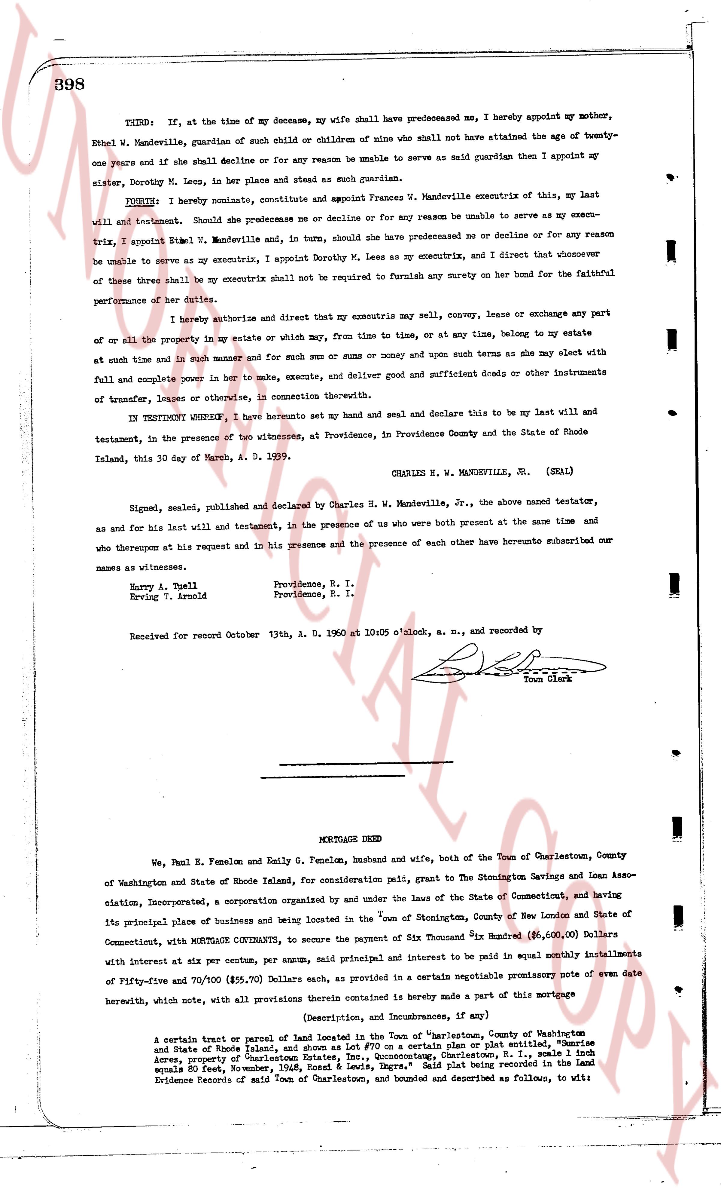
398
THIRD: If, at the time of my decease, my wife shall have predeceased me, I hereby appoint my mother, Ethel W. Mandeville, guardian of such child or children of mine who shall not have attained the age of twenty-one years and if she shall decline or for any reason be unable to serve as said guardian then I appoint my sister, Dorothy M. Leys, in her place and stead as such guardian.
FOURTH: I hereby nominate, constitute and appoint Frances W. Mandeville executrix of this, my last will and testament. Should she predecease me or decline or for any reason be unable to serve as my executrix, I appoint Ethel W. Mandeville and, in turn, should she have predeceased me or decline or for any reason be unable to serve as my executrix, I appoint Dorothy M. Leys as my executrix, and I direct that whoever of these three shall be my executrix shall not be required to furnish any surety on her bond for the faithful performance of her duties.
I hereby authorize and direct my executrix to sell, convey, lease or exchange any part or all of the property in my estate or which may, from time to time, or at any time, at any time, belong to my estate at such time and in such manner and for such sum or sums of money and upon such terms as she may elect with full and complete power in her to make, execute, and deliver good and sufficient deeds or other instruments of transfer, lease or otherwise, in connection therewith.
IN TESTIMENT WHEREBY, I have hereunto set my hand and seal and declare this to be my last will and testament, in the presence of two witnesses, at Providence, in Providence County and the State of Rhode Island, this 30 day of March, A. D. 1939.
CHARLES H. W. MANDEVILLE, JR. (SEAL)
Signed, sealed, published and declared by Charles H. W. Mandeville, Jr., the above named testator, as and for his last will and testament, in the presence of us who were both present at the same time and who thereupon at his request and in his presence and the presence of each other have hereunto subscribed our names as witnesses.
Harry A. Toell Providence, R. I.
Erving T. Arnold Providence, R. I.
Received for record October 13th, A. D. 1960 at 10:05 o'clock, a. m., and recorded by
Town Clerk
----
MORTGAGE DEED
We, Paul E. Fenelon and Emily G. Fenelon, husband and wife, both of the Town of Charlestown, County of Washington and State of Rhode Island, for consideration paid, grant to The Stonington Savings and Loan Association, Incorporated, a corporation organised by and under the laws of the State of Connecticut, and having its principal place of business and being located in the "town of Stonington, County of New London and State of Connecticut, with MORTGAGE COVENANTS, to secure the payment of Six Thousand Six Hundred ($6,600.00) Dollars with interest at six per centum per annum, said principal and interest to be paid in equal monthly installments of Fifty-five and 70/100 ($55.70) Dollars each, as provided in a certain negotiable promissory note of even date herewith, not with notice, all provisions therein contained is hereby made a part of this mortgage
(Description, and Incumbrances, if any)
A certain tract or parcel of land located in the Town of "Charlestown, County of Washington and State of Rhode Island, and shown as Lot #70 on a certain plat or plan entitled, "Five Acres, property of Captain James R. Fenelon, Charlestown, R. I." scale 1 inch equals 80 feet, November, 1948, Rossi & Lewis, Engrs." Said plat being recorded in the Land Evidence Records of said Town of Charlestown, and bounded and described as follows, to wit:
page 2 · read by Gemma vision
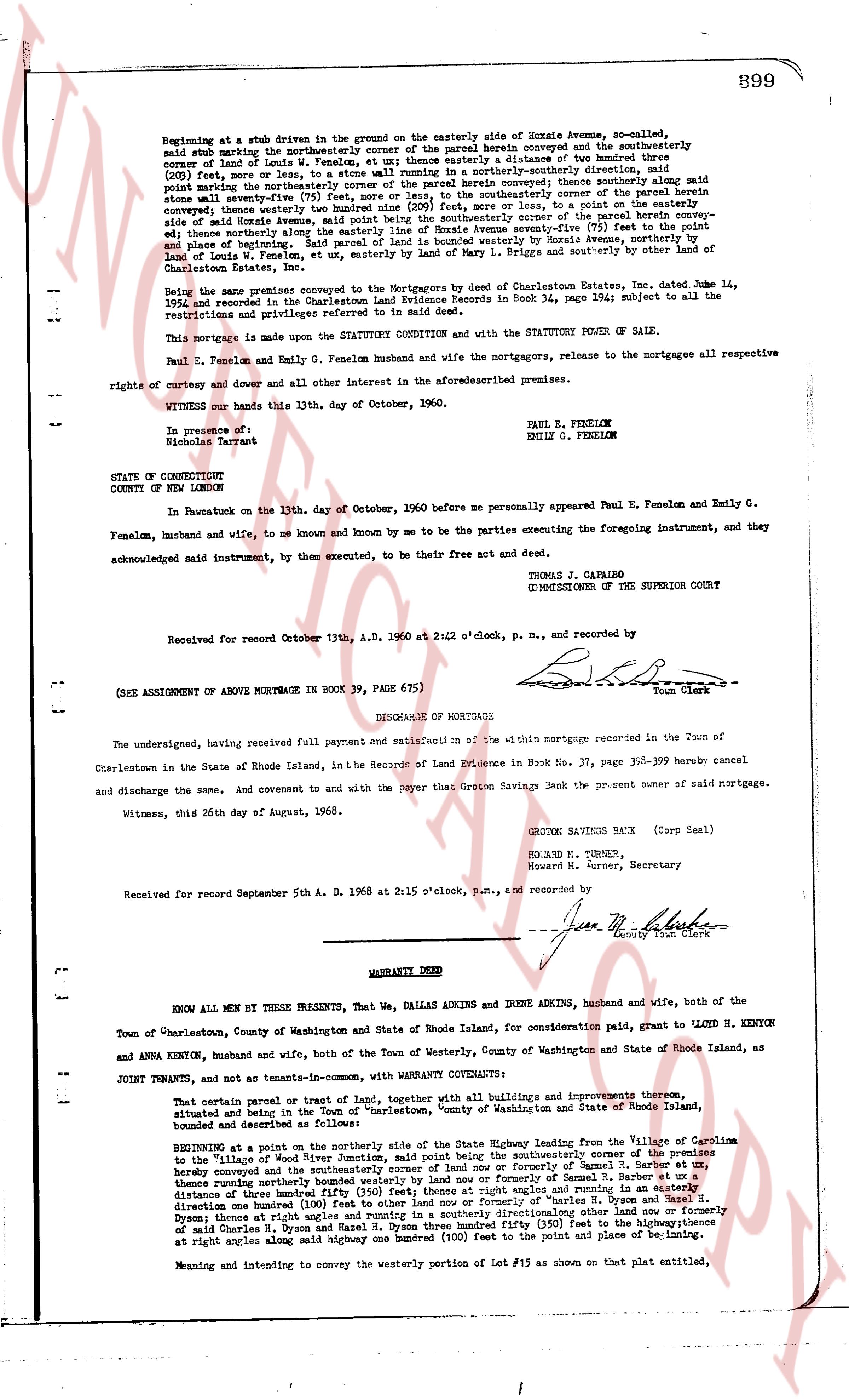
899
Beginning at a stub driven in the ground on the easterly side of Horace Avenue, so-called,
said stub marking the northeasterly corner of the parcel herein conveyed and the southeasterly
corner of Land of Emily G. Fenelon, as described in a distance of one hundred (100) feet
(209 feet more or less, by a stone wall running in a northerly-southerly direction, said
stub marking the northeasterly corner of the parcel herein conveyed; thence southerly along said
stone wall a distance of one hundred (100) feet to a stub marking the southeasterly corner of the parcel
herein conveyed; thence westerly three hundred ninety (390) feet, more or less, to a point on the westerly
edge of Horace Avenue; thence northerly one hundred (100) feet to the northerly corner of the parcel herein
conveyed; thence easterly along the easterly line of Horace Avenue seventy-five (75) feet to the point and
place of beginning; and the premises herein conveyed are bounded on the north by Horace Avenue,
Land of Louis W. Fenelon, etc., by easterly wall of Land of Mary L. Briggs and southerly by other land
of Charleston Estate, Inc.
Being the same premises conveyed to the Mortgagors by deed of Charleston Estates, Inc. dated June 14,
1954 and recorded in the Charlestown Land Evidence Records in Book 34, page 194; subject to all the
restrictions and privileges referred to in said deed.
This mortgage is made upon the STATUTORY CONDITION and with the STATUTORY POWER OF SALE.
Paul E. Fenelon and Emily G. Fenelon husband and wife the mortgagors, release to the mortgagee all respective
rights of entry and dower and all other interest in the aforesaid premises.
WITNESS our hands this 13th, day of October, 1960.
PAUL E. FENELON
EMILY G. FENELON
In presence of:
Nicholas Tarrent
STATE OF CONNECTICUT
COUNTY OF NEW LONDON
In Pawcatuck on the 13th, day of October, 1960 before me personally appeared Paul E. Fenelon and Emily G.
Fenelon, husband and wife, to me so known and mine by me to be the parties executing the foregoing instrument, and
they
acknowledged said instrument, by them executed, to be their free act and deed.
THOMAS J. CAPAIRO
COMMISSIONER OF THE SUPERIOR COURT
Received for record October 13th, A.D. 1960 at 2:42 o'clock, p.m., and recorded by
[Signature]
Town Clerk
(SEE ASSIGNMENT OF ABOVE MORTGAGE IN BOOK 39, PAGE 675)
----
DISCHARGE OF MORTGAGE
The undersigned, having received full payment and satisfaction of the within mortgage recorded in the Town of
Charlestown in the state of Rhode Island, in the Records of Land Evidence in Book 37, page 398-399 hereby cancel
and discharge the same. And covenant to and with the payer that Groton Savings Bank is the present owner of said mortgage.
Witness, this 26th day of August, 1968.
GROTON SAVINGS BANK (Corp Seal)
RICHARD M. TURNER,
Howard M. Turner, Secretary
Received for record September 5th A. D. 1968 at 2:15 o'clock, p.m., and recorded by
[Signature]
County Town Clerk
----
WARRANTY DEED
KNOW ALL MEN BY THESE PRESENTS, That We, DALE DAWKINS, and IRENE ADKINS, husband and wife, both of the
Town of Charlestown, County of Washington and State of Rhode Island, for consideration paid, grant to LOND H. KENYON
and ANNA KENYON, husband and wife, both of the Town of Westerly, County of Washington and State of Rhode Island, as
JOINT TENANTS, and not as tenants-in-common, with WARRANTY COVENANTS:
That certain parcel or tract of land together, with all buildings and improvements thereon,
situate and located in the Town of Charlestown, County of Washington and State of Rhode Island,
bounded and described as follows:
BEGINNING at a point on the northerly side of the public highway known as State Highway leading from the Village of Colleton
to the village of Wickford, Town of Charlestown, said point being the southeasterly corner of the premises
herein conveyed and the southeasterly corner of land now or formerly of Samuel R. Barber et al,
thence running northerly along the easterly line of said Barber land a distance of one hundred (100)
distance of three hundred fifty (350) feet then at right angles running in a easterly direction
one hundred (100) feet to other land now or formerly of Samuel R. Barber et al, thence running
three (3) feet at right angles running in a northerly direction along other land now or formerly of
said Charles H. Dyson and Hazel N. Dyson three hundred fifty (350) feet to the point of beginning;
at right angles along said midway one hundred (100) feet to the point and place of beginning; its
Meaning and intending to convey the westerly portion of Lot #15 as shown on that plat entitled,
The page as recorded