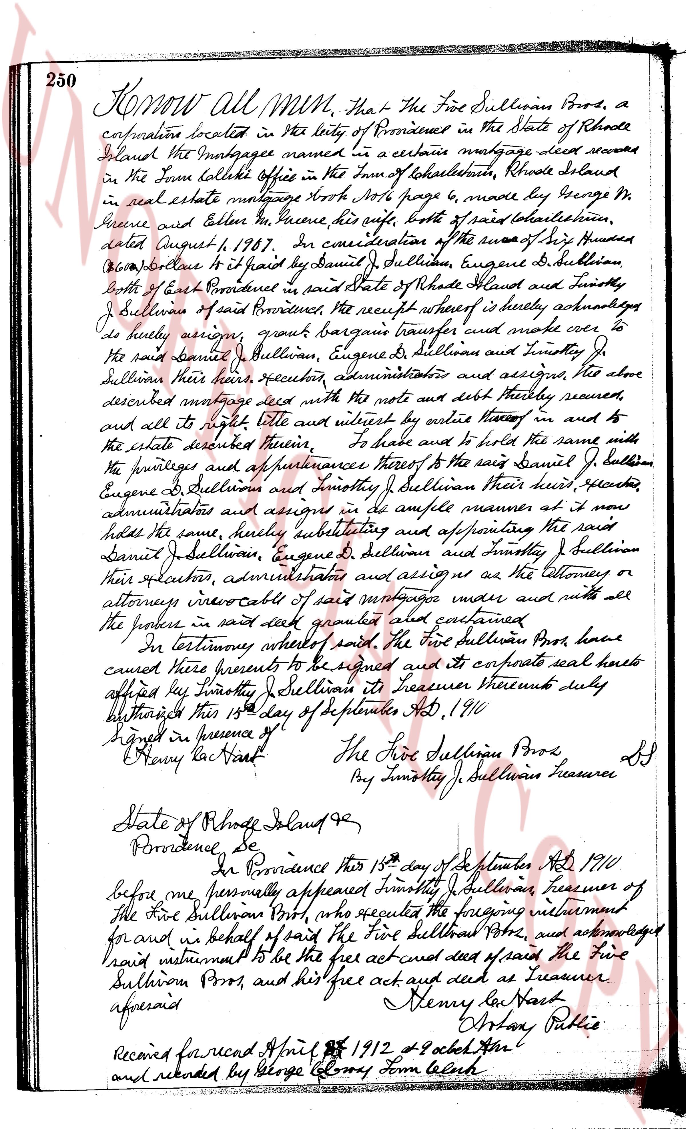
The instrument's own words
Attribution under review. The portal's file number is shared by more than one instrument, and the words below could not be placed with certainty on this one by their own evidence (page stamp, parties, dates); they may belong to a neighbouring instrument. Read them as the record of the page, not yet as this deed's own.
page 1
290
TO ALL PERSONS TO WHOM THESE PRESENTS SHALL COME: I, WILLIAM D. CROSS, Collector of Taxes,
for the Town of Charlestown, County of Washington and State of Rhode Island, for the year 1939,
SEND GREETING: WHEREAS the taxpayers of said Town of Charlestown, at their annual
Financial Town Meeting duly notified and held on the 10th day of April, A. D. 1939, voted and
ordered the assessment and collection of a tax on the ratable real estate and tangible personal
property of the owners of real and personal estate in said Town of Charlestown; AND WHEREAS, on
the 15th day of June, A. D. 1939, the Board of Tax Assessors of said Town made such assessment
and fixed the rate thereon of $1.30 on each one hundred dollars valuation of the ratable real
estate and tangible personal property, and the tax bill in due form delivered to me with the
warrant duly signed attached thereto, by the Town Treasurer, of said Town, requiring me to pro-
ceed according to law and collect said tax and place the same in the Town Treasury of said Town.
AND WHEREAS, John J. Rourke neglected to pay the tax assessed against him as expressed
ed in said tax bill amounting to Thirty-three Cents ($0.33) and in consequence thereof I did on
the 1st day of May, A. D. 1940 levy said warrant upon that certain plot or parcel of land and
shown and designated as lot 705, Assessors' Lot 16, and appearing on Original Tax List and
Tax Bill, 1939, (also notice of levy served according to law). belonging to said John J. Rourke
in said Charlestown, and did advertise the same for sale at four public places in said town of
Charlestown, viz: Wright's Garage, the store of E. C. Brown & Son, Grinnell's Garage and the
post office at Charlestown, R. I., for more than twenty days previous to said sale, and also
in the South County News, a newspaper published in said County of Washington, for more
than twenty days previous to said sale, and on the 13th day of July, A. D. 1940, at one o'clock,
p. m., by Dwight Saving, at the Town Hall, in said Town, I proceeded to Sell at Public Auc-
tion, by Robert P. Day, a qualified auctioneer, the premises aforesaid, and Edwin Fisher, of
said Town of Charlestown, was the highest bidder, $0.46, NOW KNOW YE, that in consideration of the
sum of Eight Dollars Forty-six Cents ($8.46) to me paid by said Edwin Fisher, the receipt where-
of I do hereby acknowledge, I do hereby sell and convey unto said Edwin Fisher, his heirs and
assigns, forever, all the right, title and interest which said John J. Rourke had in and to
said premises at the time of assessing said tax, with all the appurtenances thereto belonging;
for a description of said premises, reference is hereby made and made to Assessors' Plats and
Cards on file in the office of the Town Clerk of said Town of Charlestown and to the Land Evi-
dence Records of said Town.
TO HAVE AND TO HOLD the same to the said Edwin Fisher, his heirs and assigns, forever,
(subject to the right of redemption as provided by law).
And I, the said William D. Cross, Collector of Taxes, as aforesaid, do covenant with
the said Edwin Fisher, his heirs and assigns, that I have advertised the said property as here-
inbefore stated and have complied with the terms of the law regulating the collection of taxes.
IN WITNESS WHEREOF, I have hereunto set my hand and seal this 23rd day of July, A. D. 1940
In the presence of:
Linton L. Brown
STATE OF RHODE ISLAND)
County of Washington)
On Charlestown on the 23rd day of July, A. D. 1940, before me personally appeared
William D. Cross, Collector of Taxes, as aforesaid, to me known and known by me to be the party
executing the foregoing instrument, and he acknowledged said instrument, by him executed, to be
his own free act and deed, individually, and in his official capacity aforesaid.
WILLIAM D. CROSS, Collector of Taxes,
Town of Charlestown for the year 1939
(L. S.)
LINTON L. BROWN, Notary Public.
Received for record July 24th, A. D. 1940 at 11:10 o'clock, p. m., and recorded by
[Signature]
Town Clerk
page 2
899
Beginning at a stub driven in the ground on the easterly side of Horace Avenue, so-called,
said stub marking the northeasterly corner of the parcel herein conveyed and the southeasterly
corner of Land of Emily G. Fenelon; thence southerly a distance of one hundred (100) feet
(200) feet more or less, to a stone wall running wall running in a northerly-southerly direction, said
stone wall marking the northeasterly corner of the parcel herein conveyed; thence southerly said
stone wall a distance of one hundred (100) feet (200) feet marking the southeasterly corner of the parcel
herein conveyed; thence westerly three hundred ninety (390) feet more or less, to a point on the south
side of Horace Avenue, said point marking the southeasterly corner of the parcel herein conveyed;
thence northerly along the easterly line of Horace Avenue seventy-five (75) feet to the point and
place of beginning; and the remainder of said parcel being bounded on the north by Horace Avenue,
Land of Louis W. Fenelon, et ux, easterly by Land of Mary L. Briggs and southerly by other land of
Charlestown Estate, Inc.
Being the same premises conveyed to the Mortgagors by deed of Charlestown Estates, Inc., dated June 14,
1954 and recorded in the Charlestown Land Evidence Records in Book 34, page 194, subject to all the
restrictions and privileges referred to in said deed.
This mortgage is made upon the STATUTORY CONDITION and with the STATUTORY POWER OF SALE.
Paul E. Fenelon and Emily G. Fenelon husband and wife the mortgagors, release to the Mortgagees all respective
rights of dower and curtesy and all other interest in the aforesaid premises.
WITNESS our hands this 13th day, of October, 1960.
In presence of:
Rhodesian Turner
PAUL E. FENELON
EMILY G. FENELON
STATE OF CONNECTICUT
COUNTY OF NEW LONDON
In Pawcatuck on the 13th day, of October 1960 before me personally appeared Paul E. Fenelon and Emily G.
Fenelon, husband and wife, to me so known and known by me to be the parties executing the foregoing instrument, and they
acknowledged said instrument, by then executed, to be their free act and deed.
THOMAS J. CAPAIOLO
COMMISSIONER OF THE SUPERIOR COURT
Received for record October 13th, A.D. 1960 at 2:42 o'clock, p.m., and recorded by
[Signature]
Town Clerk
(SEE ASSIGNMENT OF ABOVE MORTGAGE IN BOOK 39, PAGE 675)
DISCHARGE OF MORTGAGE
The undersigned, having received full payment and satisfaction of the within mortgage recorded in the Town of
Charlestown in the State of Rhode Island, in the Records of Land Evidence in Book 39, page 329-330 hereby cancel
and discharge the same. And covenant to and with the payer that Grooten Savings Bank is the present owner of said mortgage.
Witness, this 26th day of August, 1968.
GROOTEN SAVINGS BANK (Corp Seal)
RICHARD M. TURNER,
Howard M. Turner, Secretary
Received for record September 5th A. D. 1968 at 2:15 o'clock, p.m., and recorded by
[Signature]
Deputy Town Clerk
WARRANTY DEED
KNOW ALL MEN BY THESE PRESENTS, That We, DALLAS INKINS and DIANE ADKINS, husband and wife, both of the
Town of Charlestown, County of Washington and State of Rhode Island, for consideration paid, grant to Lloyd H. KENYON
and ANNA KENYON, husband and wife, both of the Town of Westerly, County of Washington and State of Rhode Island, as
JOINT TENANTS, and not as tenants-in-common, with WARRANTY CONVEYANCE:
That certain parcel or tract of land together, with all buildings and improvements thereon,
situated and located in the Town of Charlestown, County of Washington and State of Rhode Island, as
described as follows:
BEGINNING at a point on the northerly side of the street State Highway leading from the Village of Cortlandt
to the village of Block Point, Charlestown, Rhode Island, said point being the southeasterly corner of the premises
herein conveyed and the southeasterly corner of land now or formerly of Samuel R. Barber et al,
thence running northerly morning [sic] boundary line of said parcel being the easterly boundary of the premises
distance of three hundred fifty (350) feet thence at right angles and running in a easterly direction
one hundred (100) feet to other land now or formerly of Samuel R. Barber et al, thence running in a
direction one hundred (100) feet to other land now or formerly of Samuel R. Barber et al, thence running in a
direction three at right angles and running in a northerly directionalong other land now or formerly of
said Charles H. Dyson and Hazel M. Dyson three hundred fifty (350) feet to the boundaryline
at right angles along said highway one hundred (100) feet to the point and place of beginning.
Meaning and intending to convey the westerly portion of Lot #15 as shown on that plat entitled,
The page as recorded